/Reparto_Affari_Generali.png)


FONTE https://forum.dcs.world/topic/310823-dc ... nt=5197118
Bye
Phant
Graphics - ED Team ha scritto:
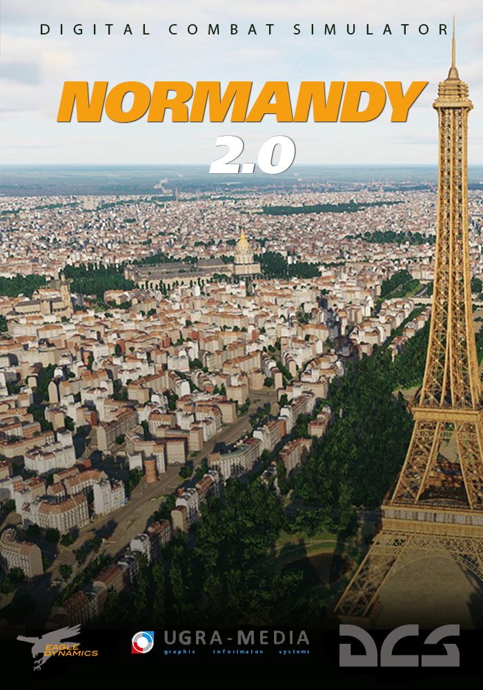
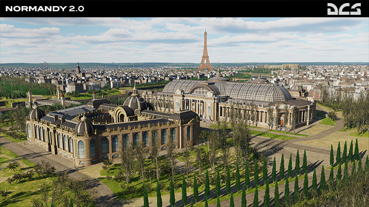
Normandy 2.0 in Early Access now
We are thrilled to announce the early access release of DCS: Normandy 2, the impressive new 1944 experience by Ugra Media. This meticulously detailed and true-to-life terrain, is a brand new map of Normandy in 1944 offering our latest technology, boasting exceptional detail and realism not yet seen in any WWII combat simulation.
DCS: Normandy 2 is 2.4 x larger than Normandy 1 and uses our latest map technology with our new enhanced lighting engine, object detailing, terrain texture resolution and damage modelling. In addition Ugra Media have done a fantastic job of recreating a vast number of historical buildings, airfields and infrastructure. For more details on this fabulous map, and how to upgrade please read the latest Normandy 2.0 FAQ forum section.
The early access price of DCS: Normandy 2 is USD 47.99, however, existing owners of DCS: Normandy 1944 or DCS: The Channel can upgrade for only USD 14.99, and owners of both legacy maps pay USD 9.99. Please be aware that this is a limited time offer and as of today, the legacy version of DCS: Normandy 1944 is no longer on offer.
For those of you who run DCS World Steam Edition, please rest assured that we are doing our best to bring you the exact same exclusive deals. Stay tuned for details.

Graphics - ED Team ha scritto:
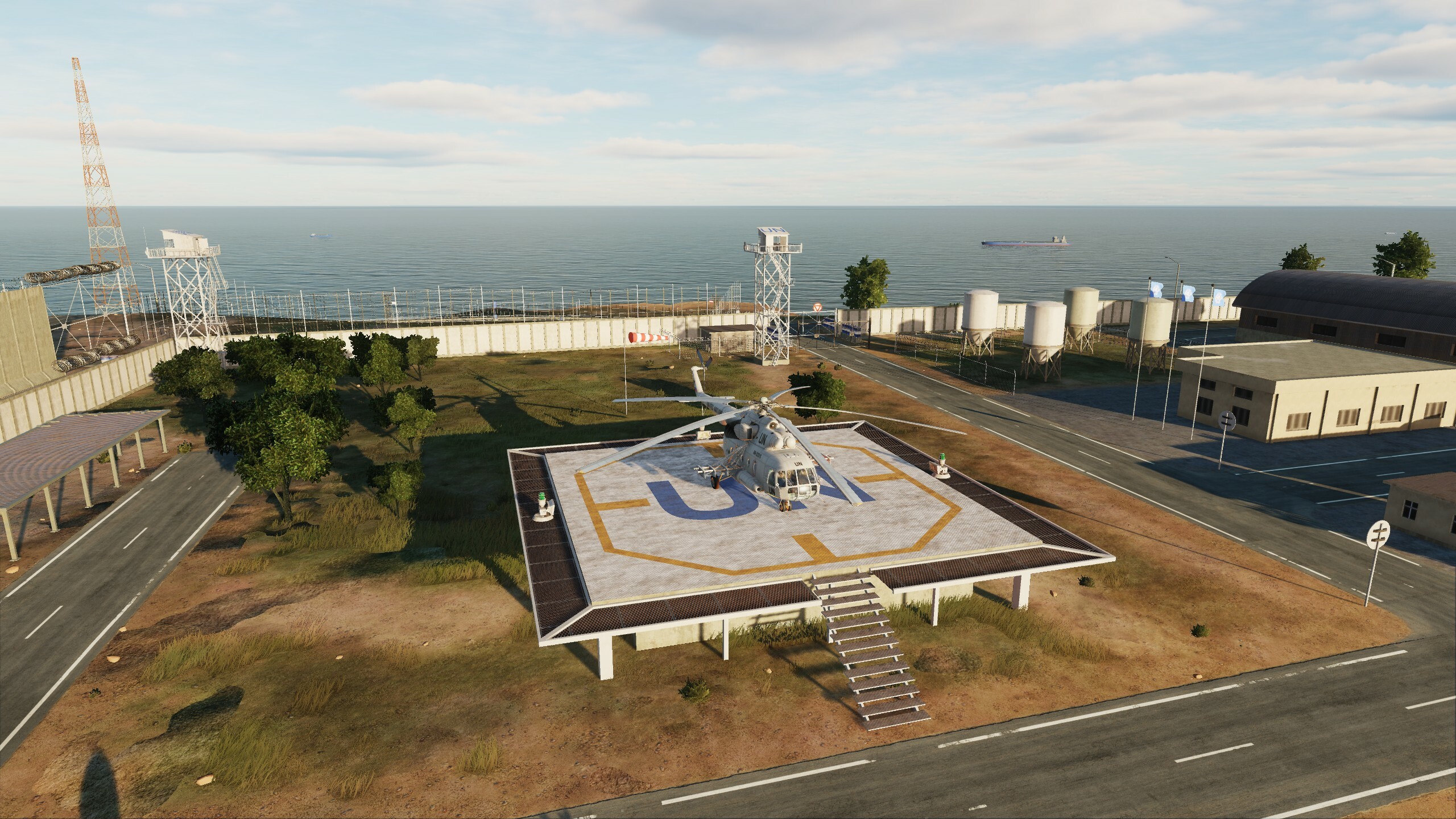
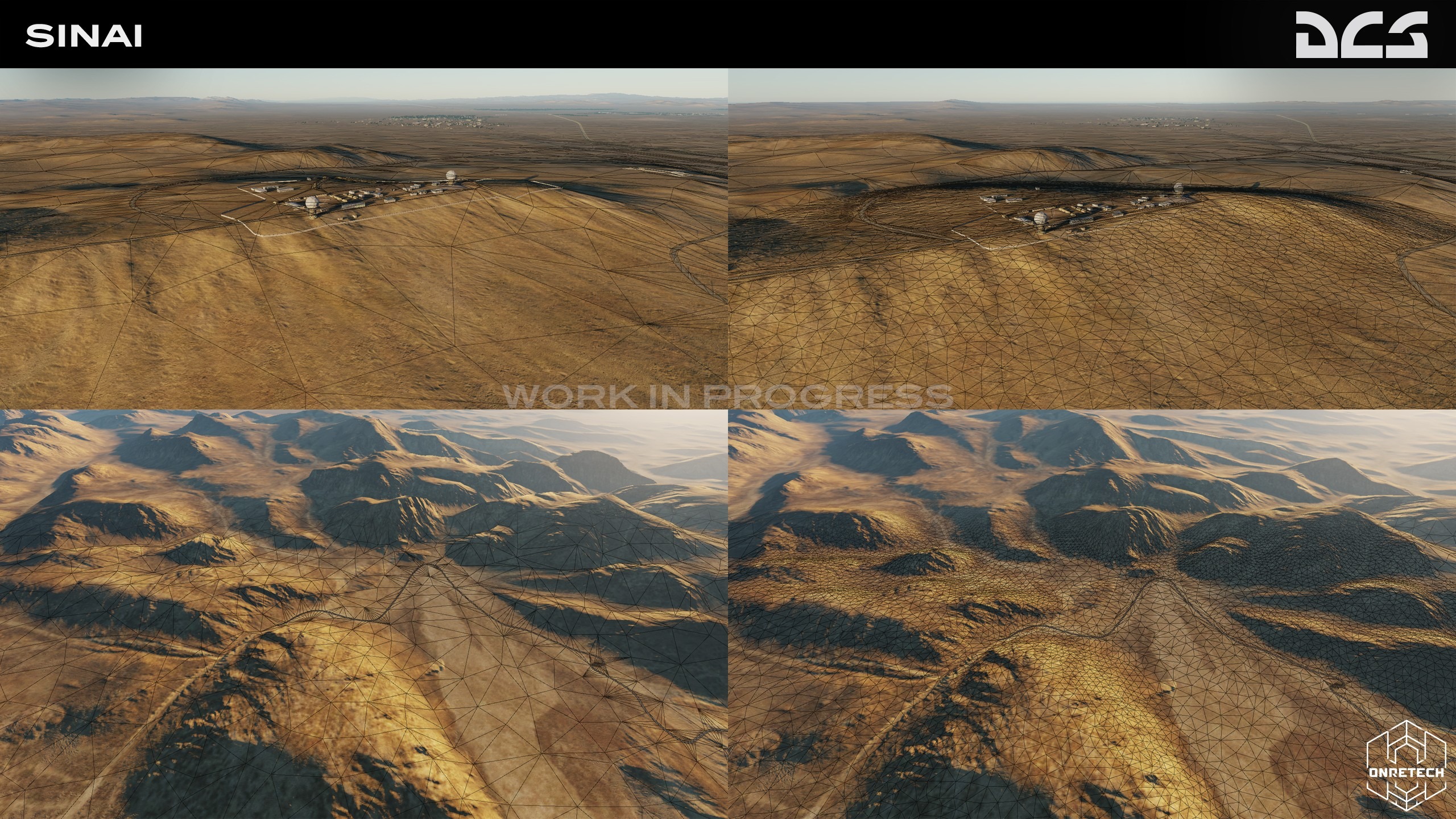
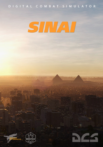
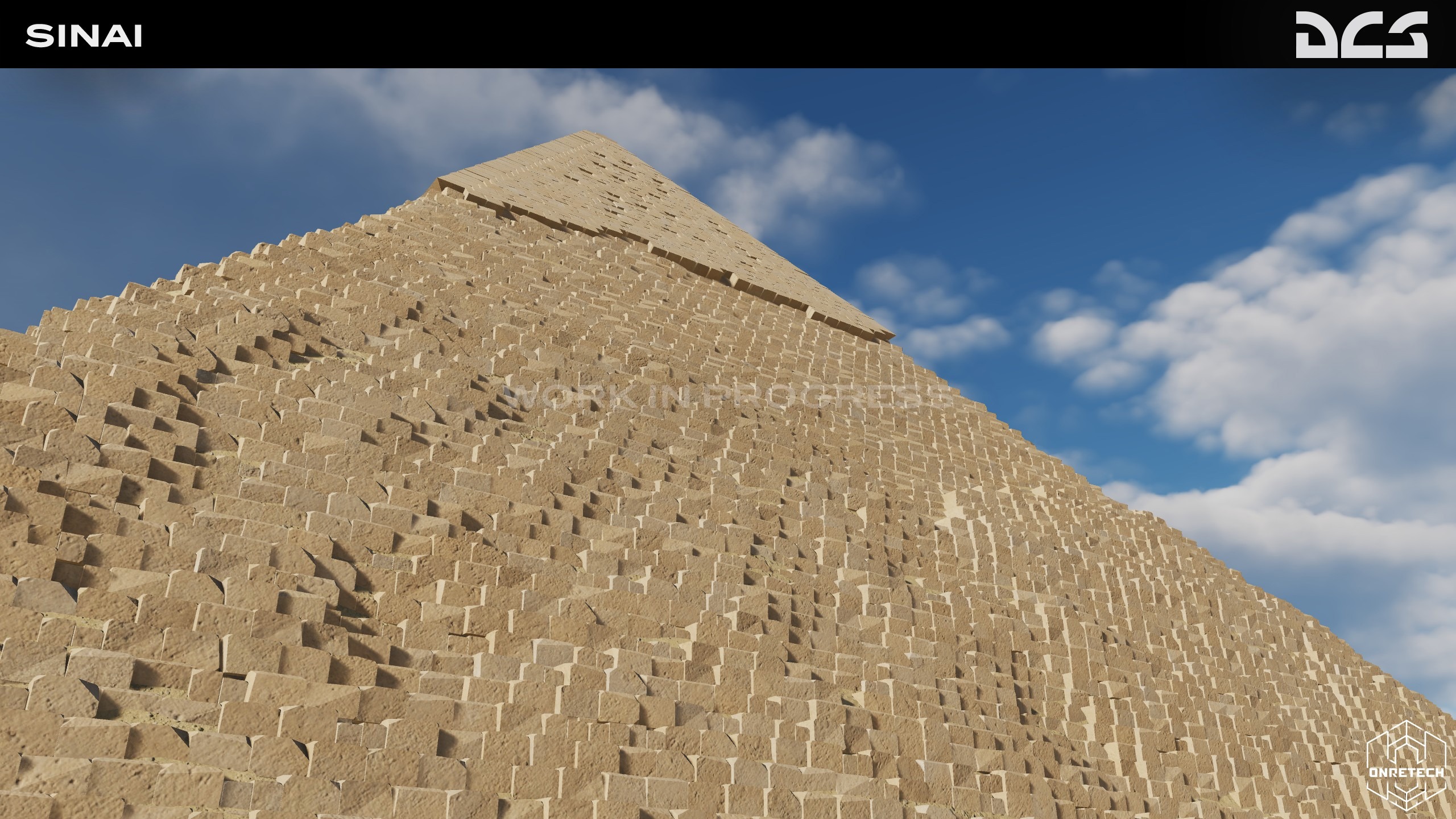
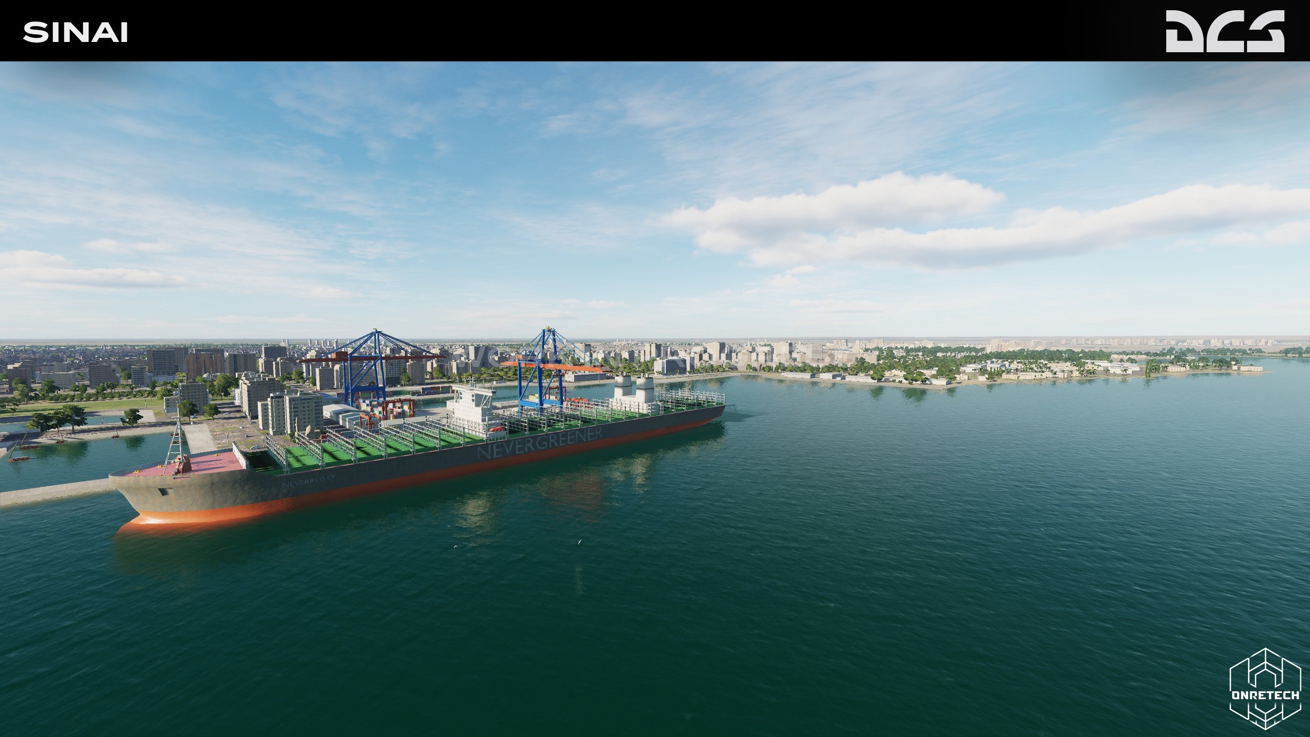
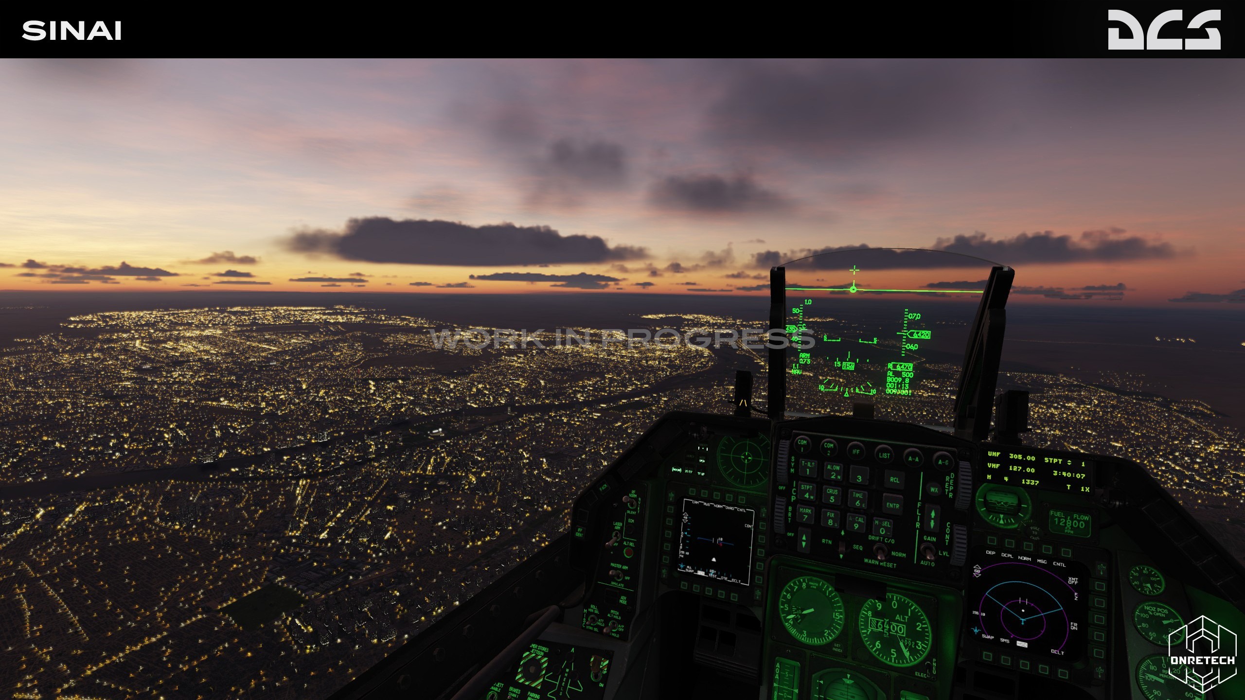
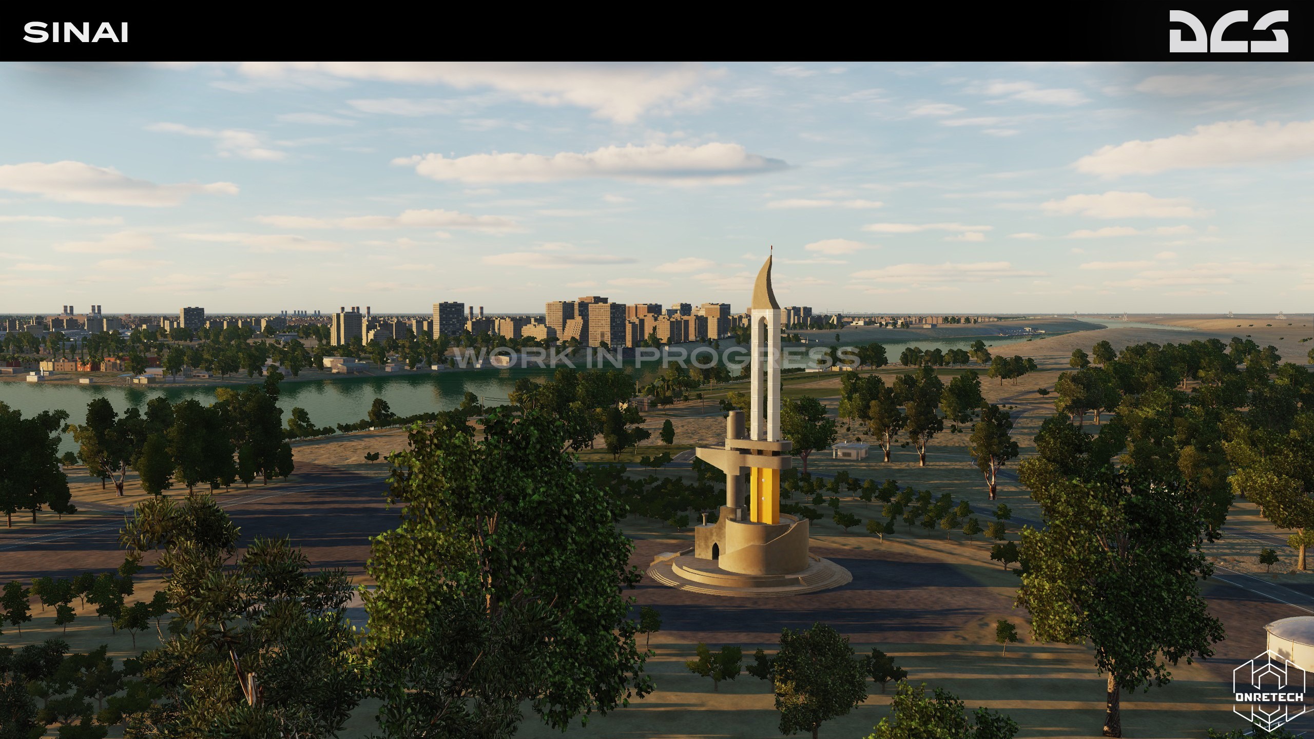
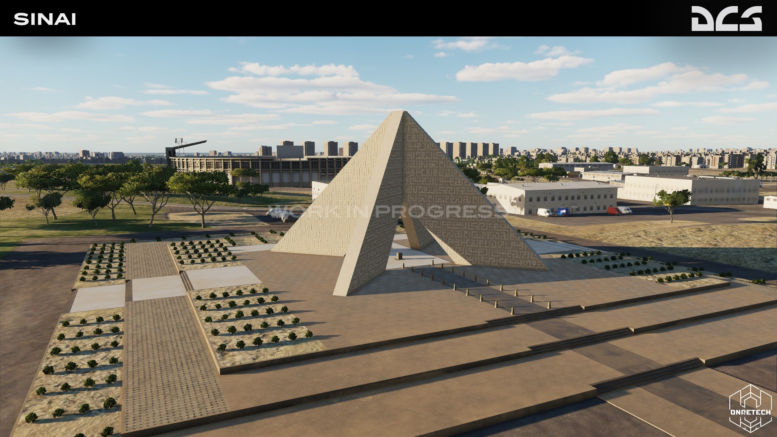
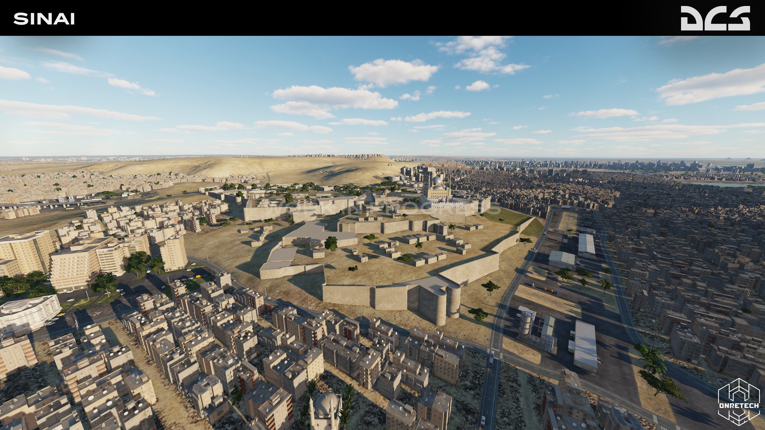
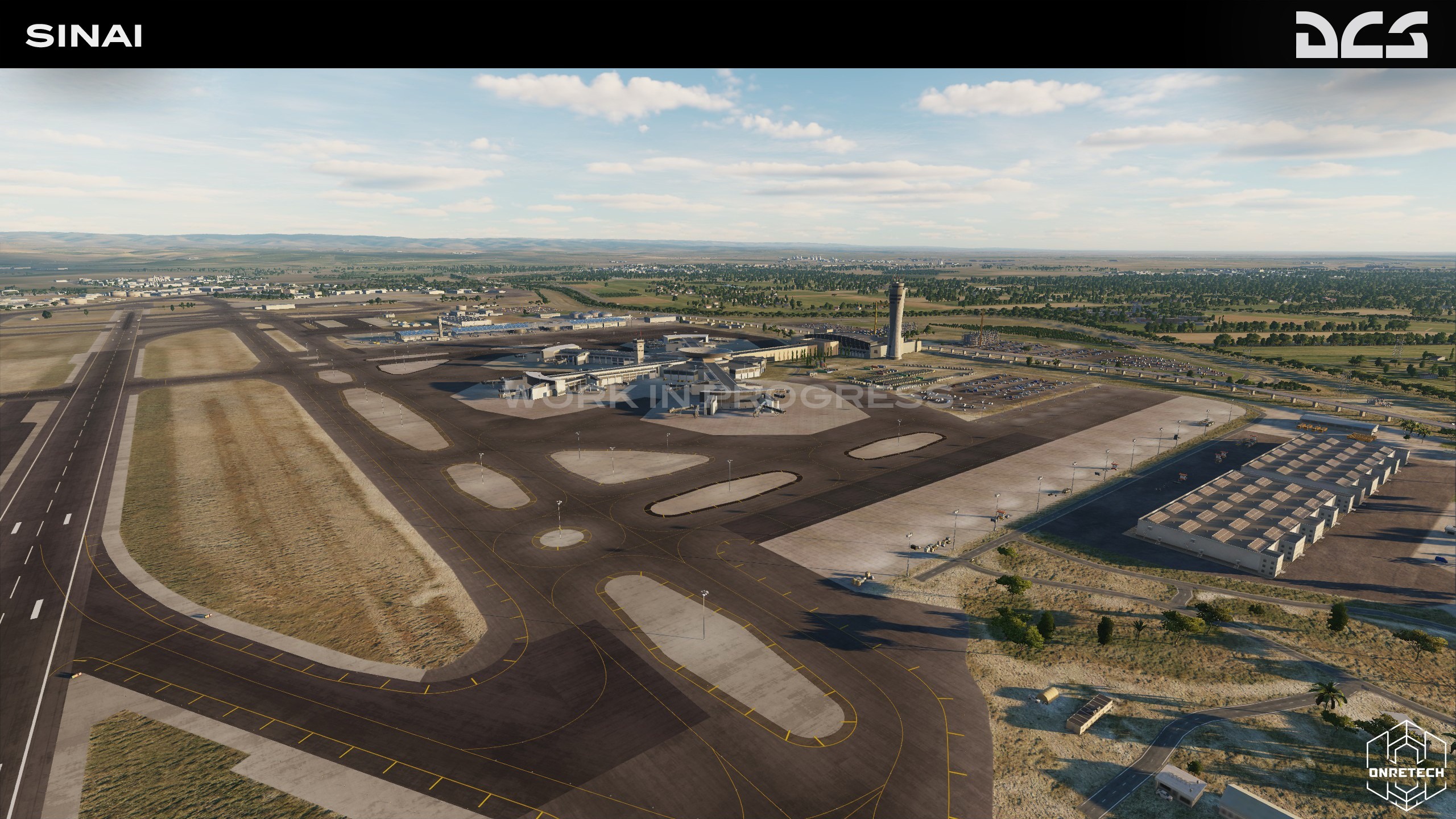
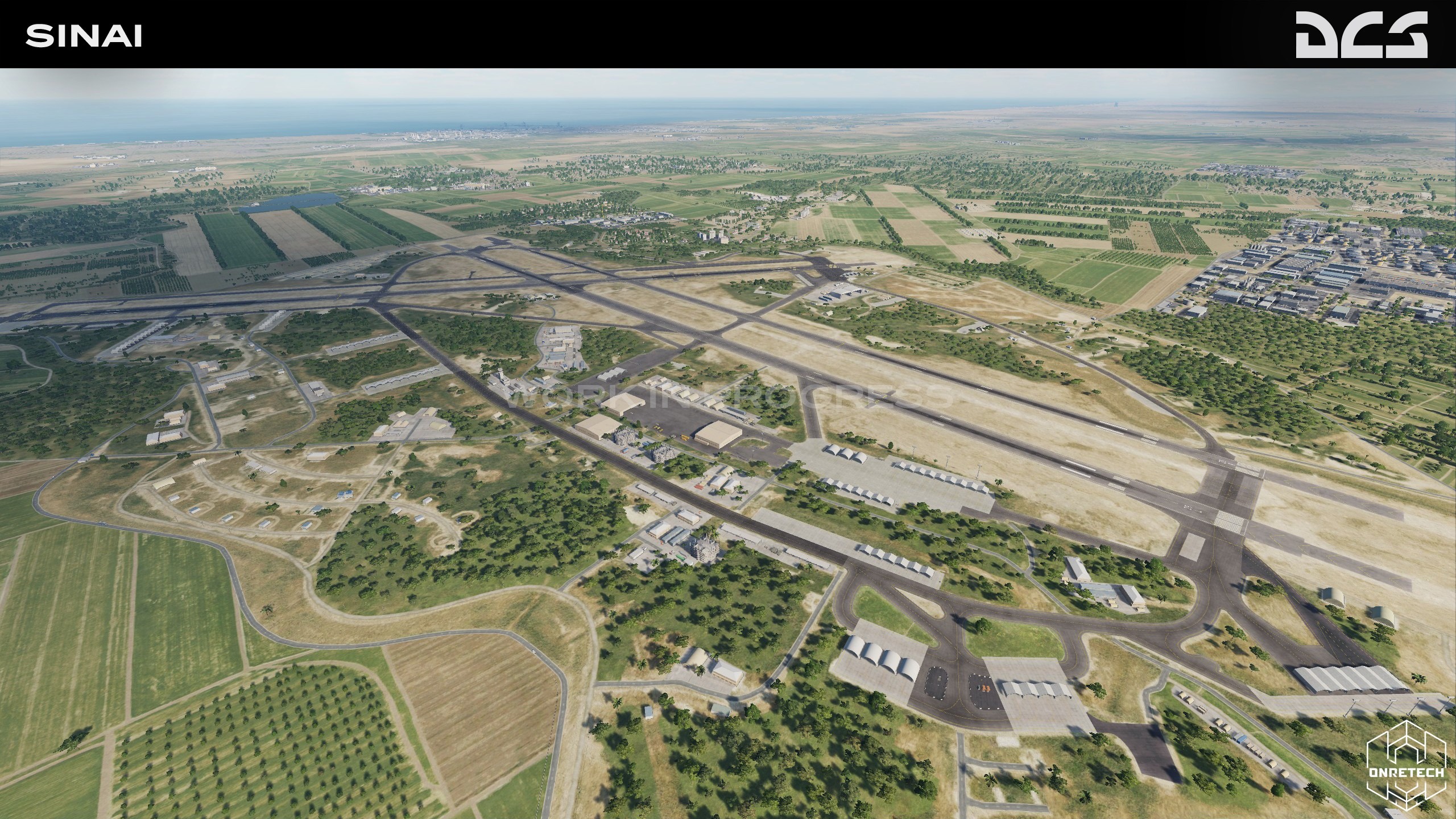
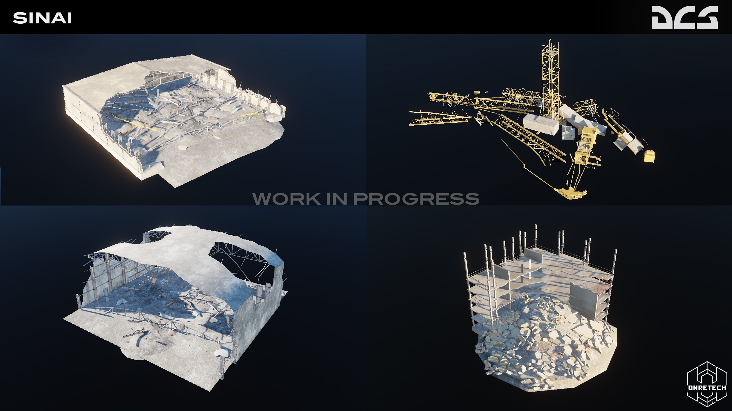
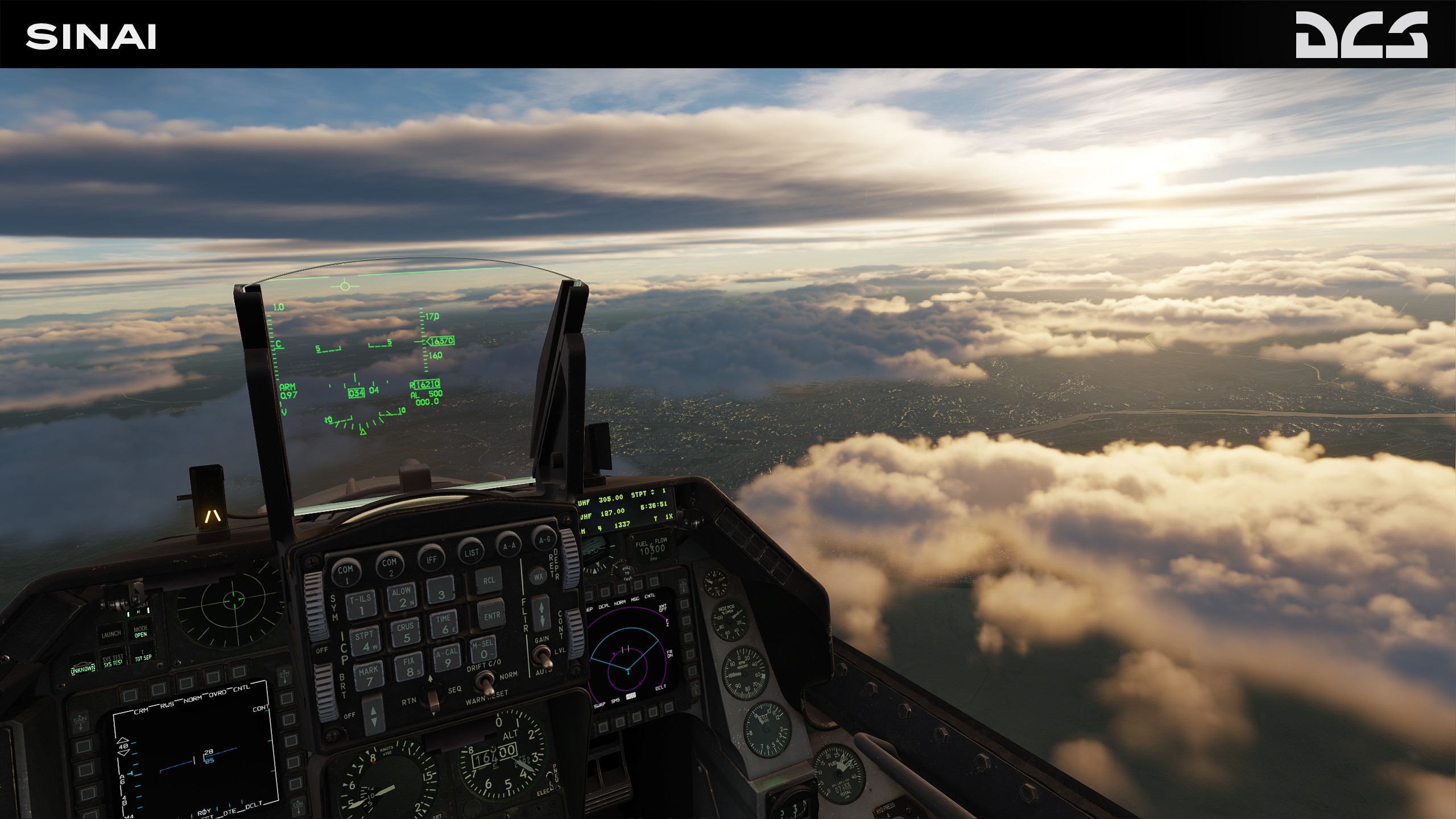
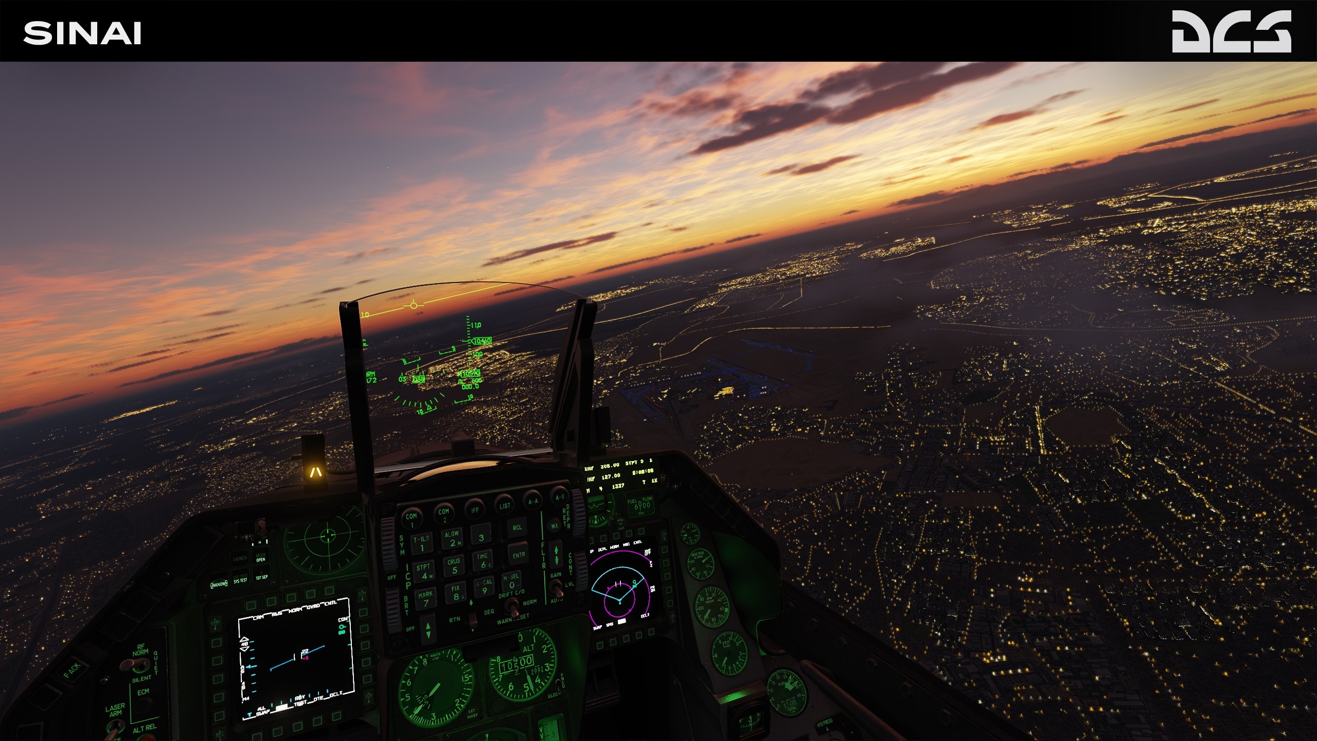
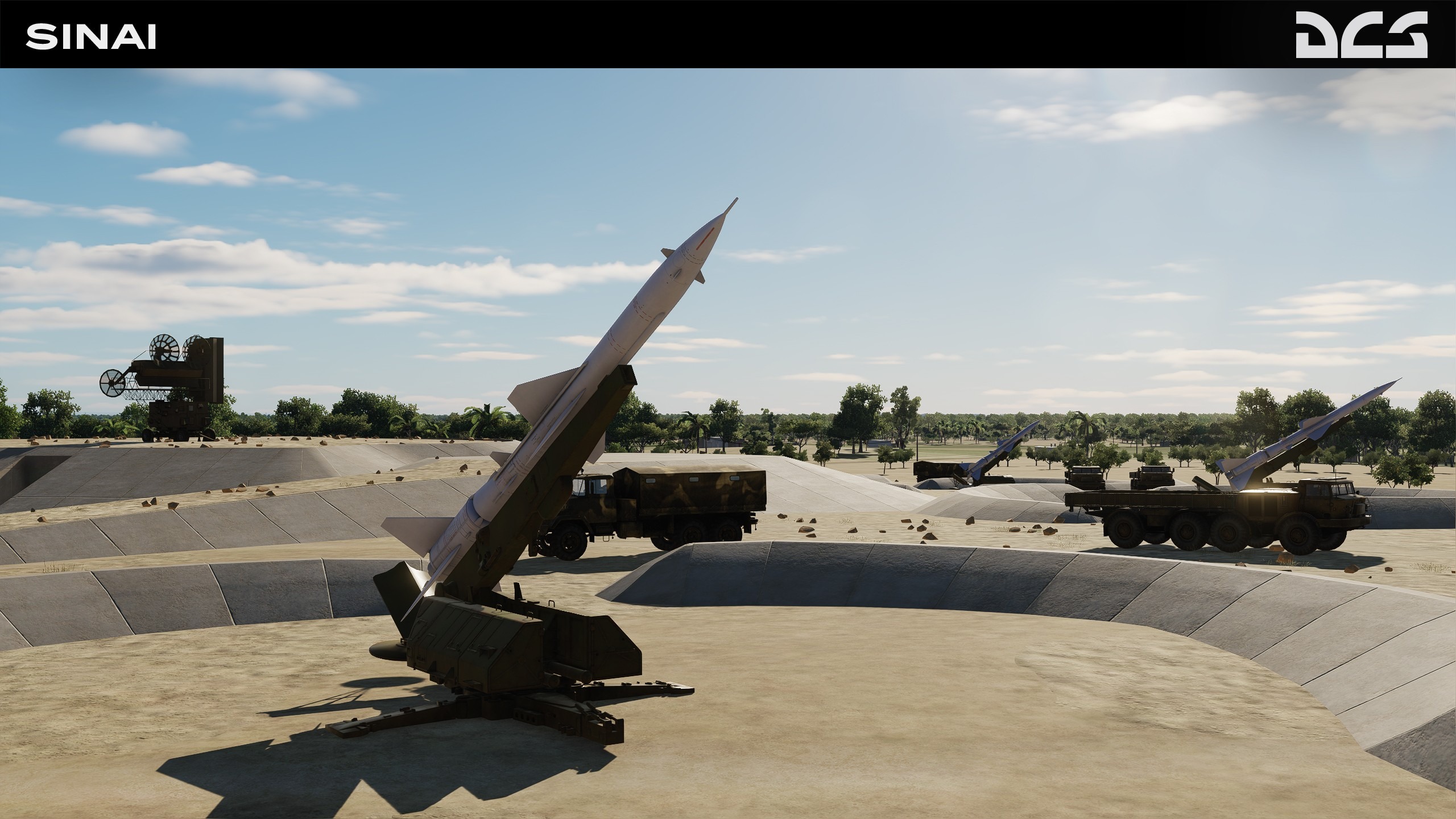
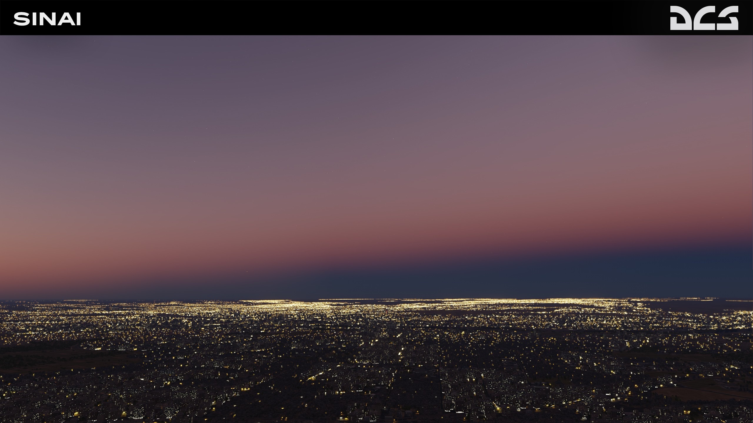
Sinai Development Report
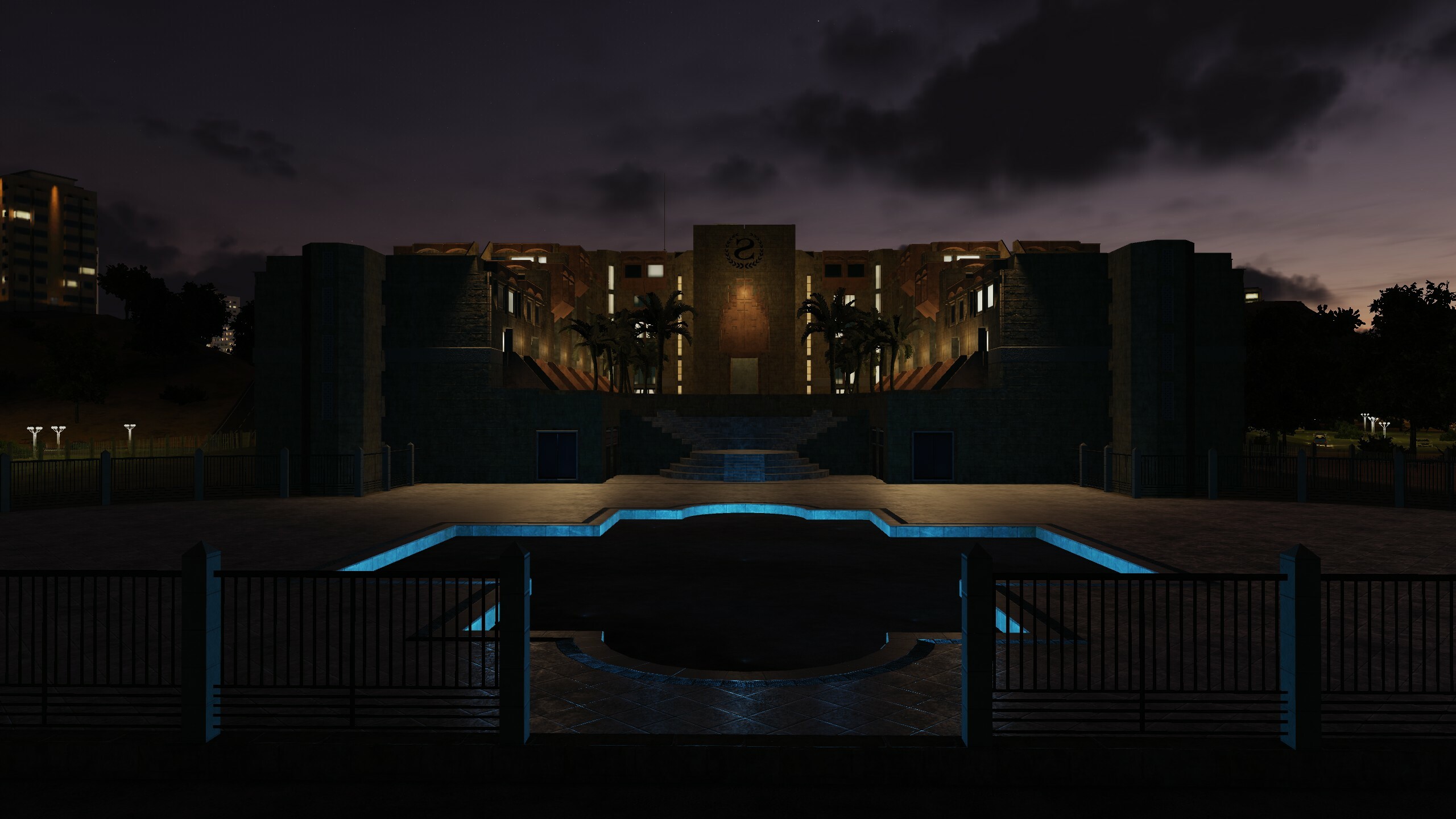
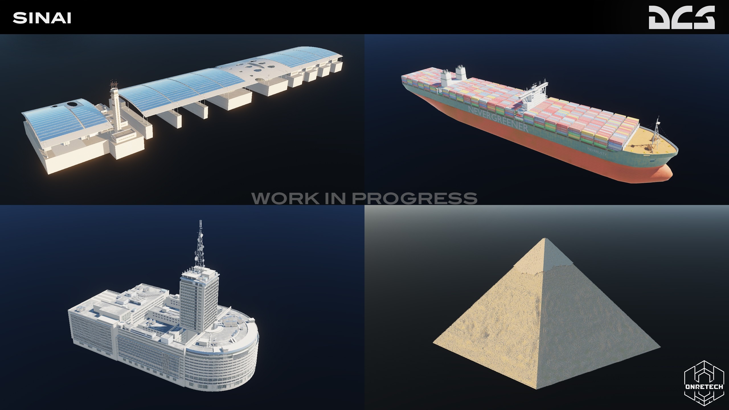
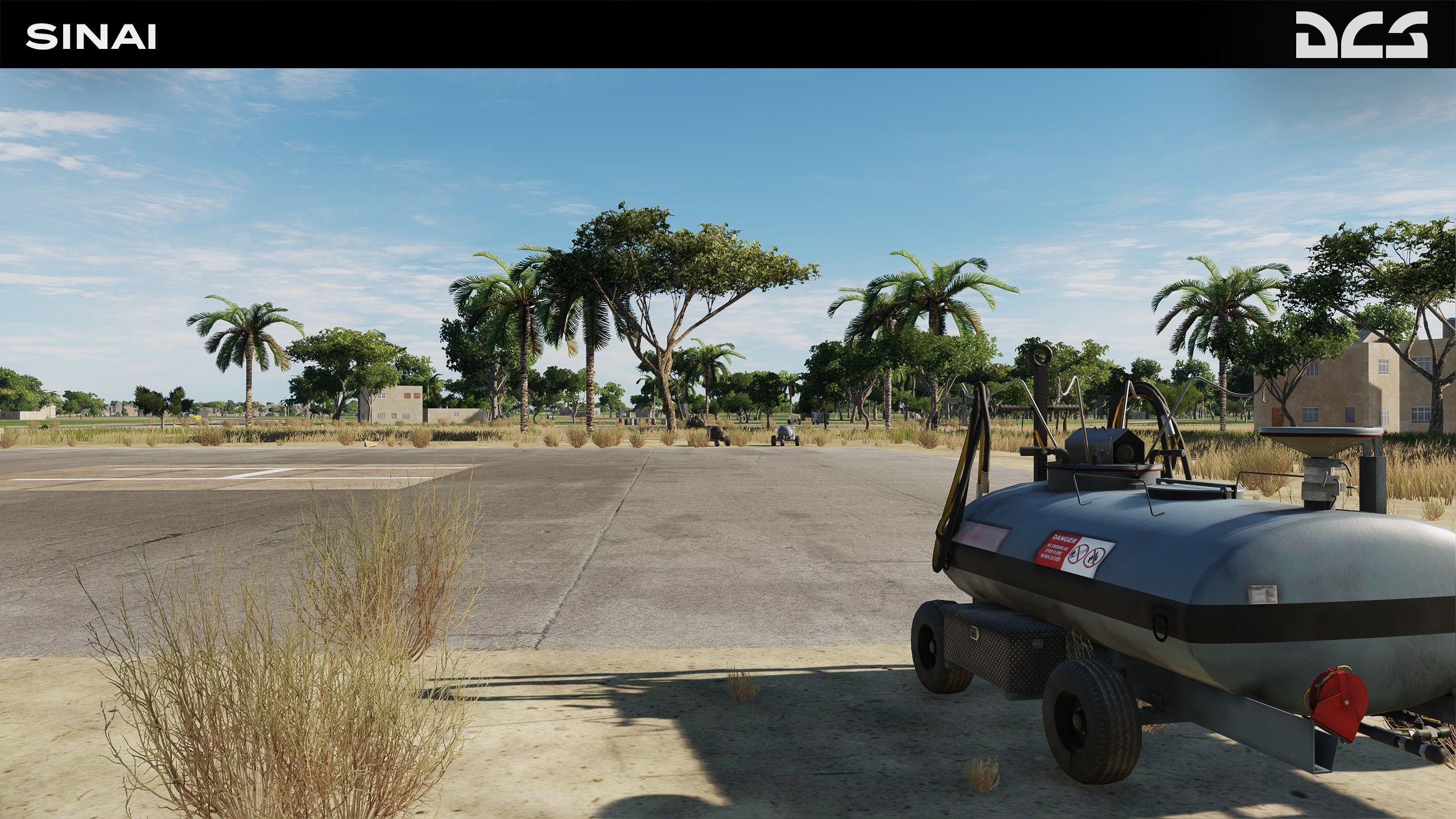
Our third party partner OneReTech continues to develop and enhance the DCS: Sinai map for upcoming early access launch. They have received a lot of positive feedback and comments since the last reviews. Thanks to all of you who commented and provided valuable information and criticism, Sinai can only get better with your support and review.
Some unique scenes have already been improved and many bugs have been fixed. The destruction models are in the final stages of development. Many improvements, including the great pyramids of Giza have already been implemented, along with many other scenes, airfield details and textures.
OneReTech have now added moving trains, greater variety of vegetation and birds in port areas and several models of tankers are already in the works that will complement the realism of port scenes.
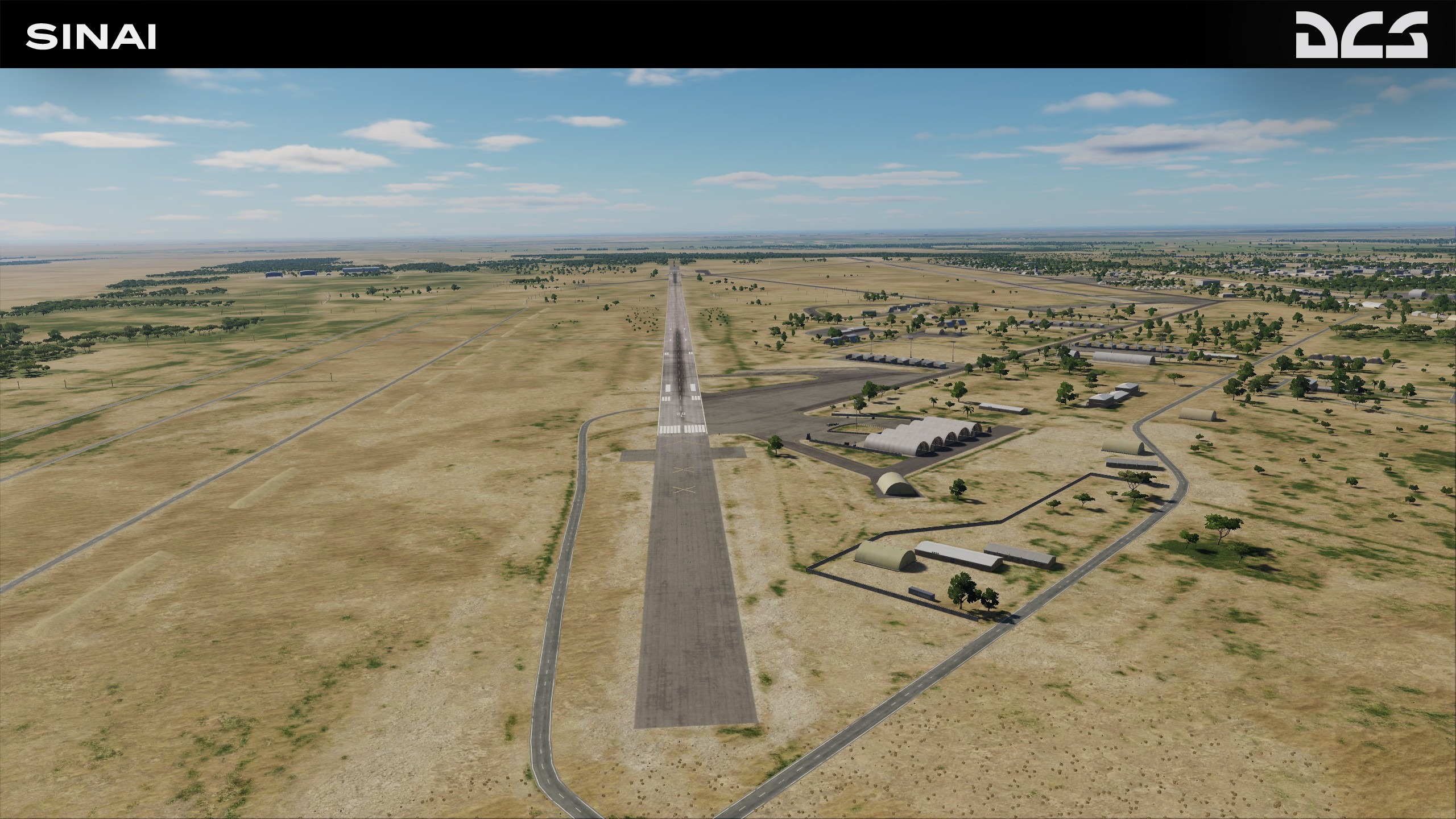
For Early Access launch, six new airfields will be available:
- El Arish, El Gora, Baluza are on the north of the Sinai peninsula.
- Bir Hasanah is in the middle.
- St Catherine and Abu Rudeis are to the south.
These strategic locations will allow the recreation of realistic scenarios of the missions of the Arab-Israeli wars.
"Our team has been working hard on a tool that allows you to procedurally get textures that are already used on the DCS: Sinai map. Furthermore, we have improved the tools that allow us to obtain height maps at a more accurate resolution of 1 metre per pixel, where the original resolution was 38 metres per pixel. This allows you to get textures as well as a surface mesh with a higher density using the Eagle Dynamics TDK tool. This can be used to build unique places and mountains. For example, you can make dunes in the desert not only on the texture, but also procedurally generate a surface mesh."
– OneReTech

Graphics - ED Team ha scritto:
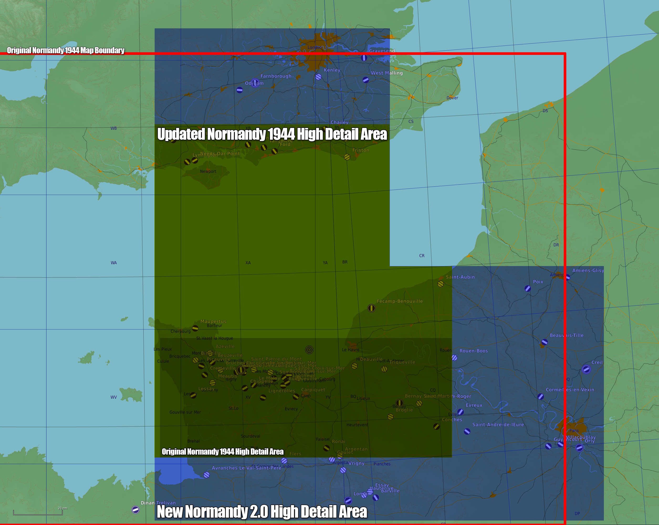
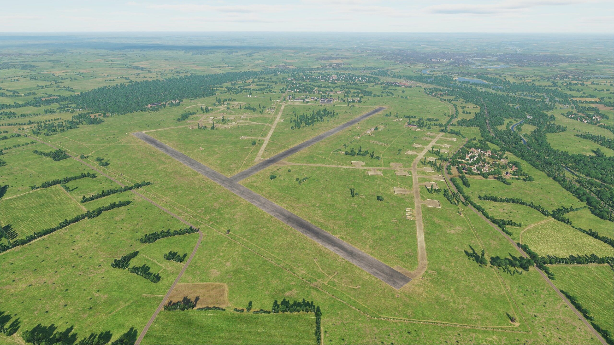
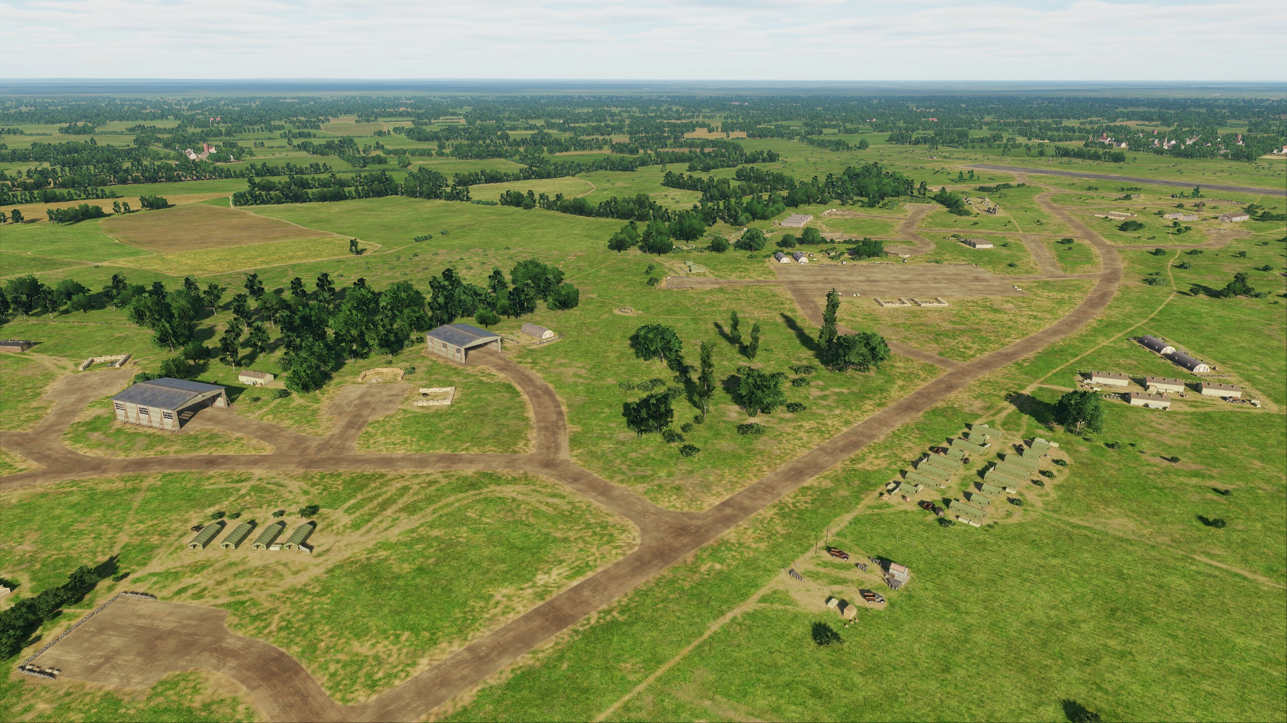
Normandy 2.0 Development Report
Since the launch of DCS: Normandy 2.0, Urgra Media has gathered feedback and in the next Open Beta update, you too can enjoy a wealth of new additions.
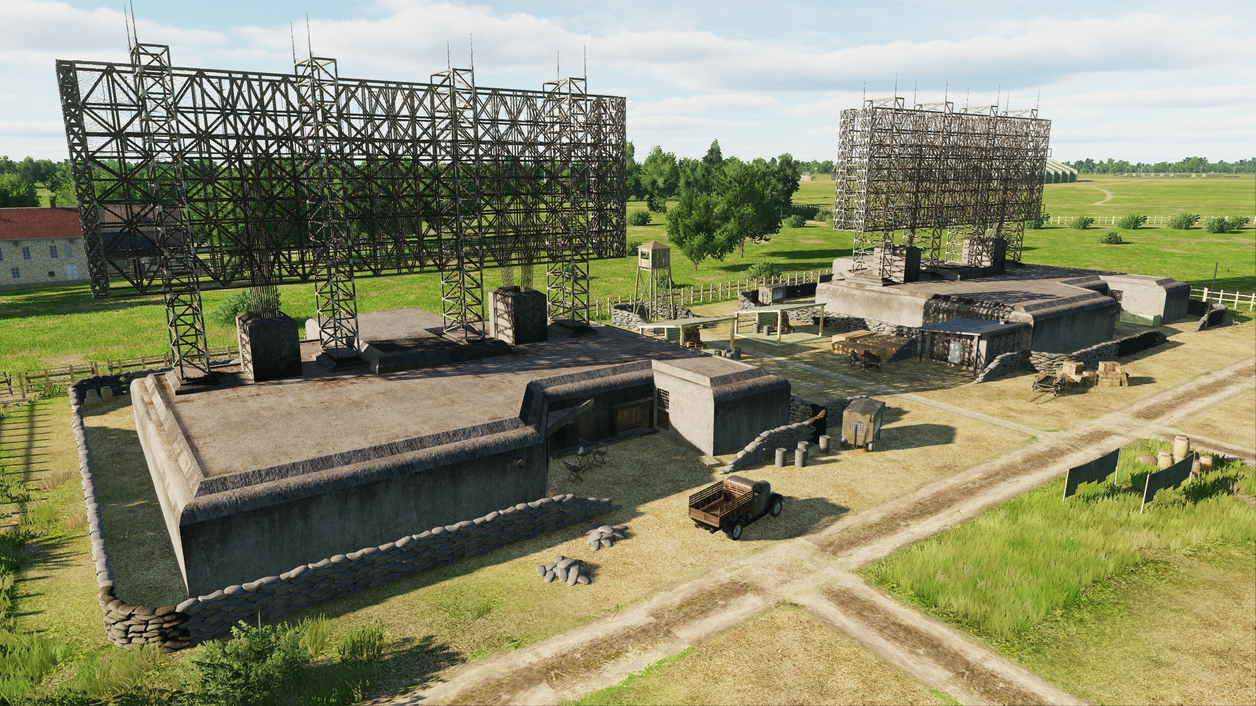
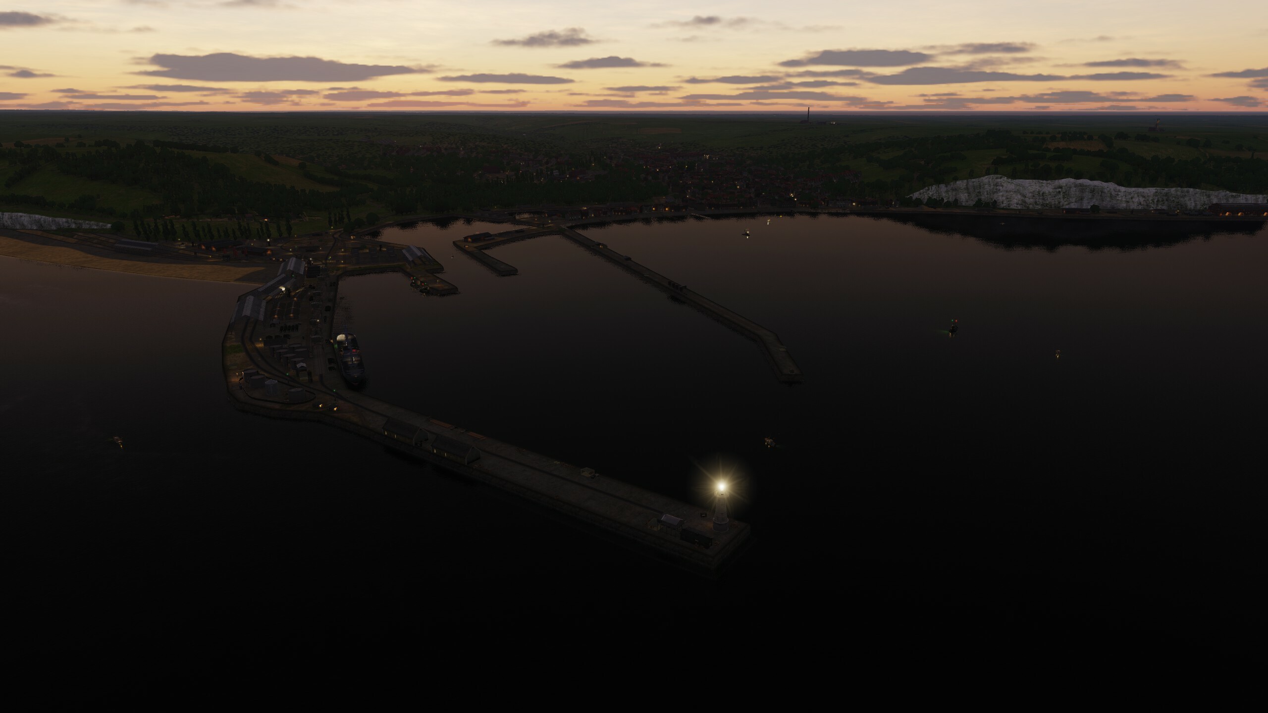
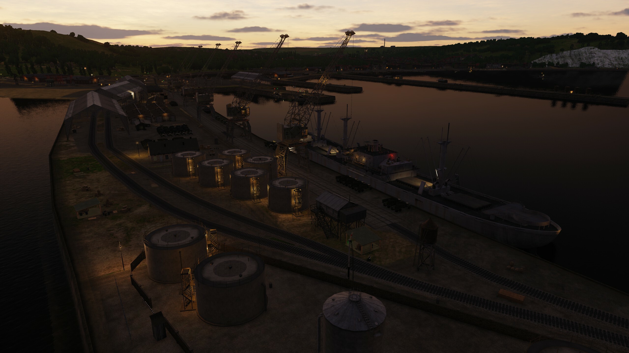
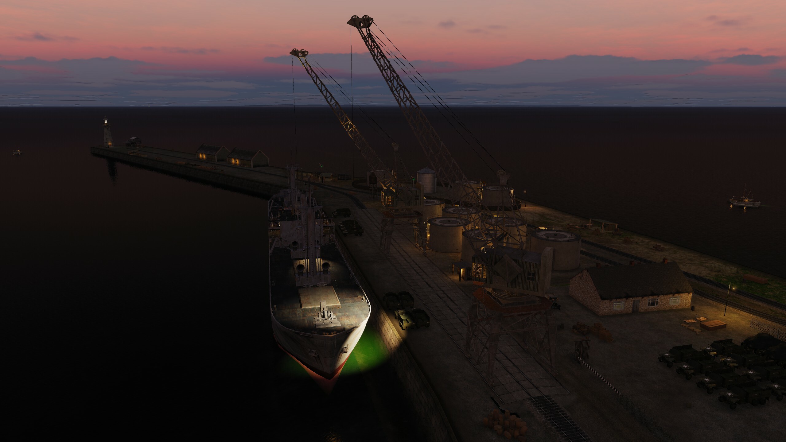
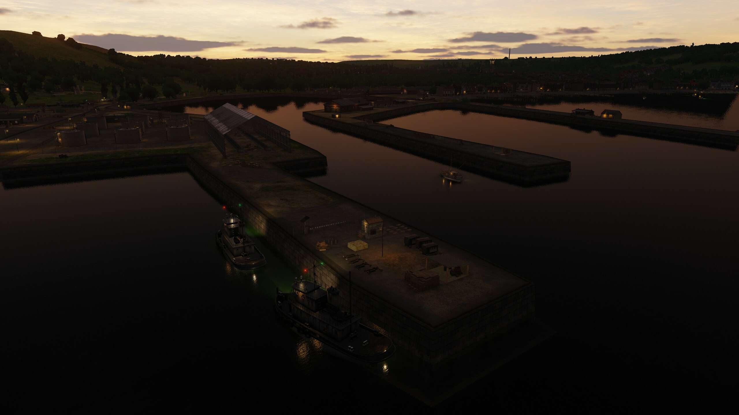
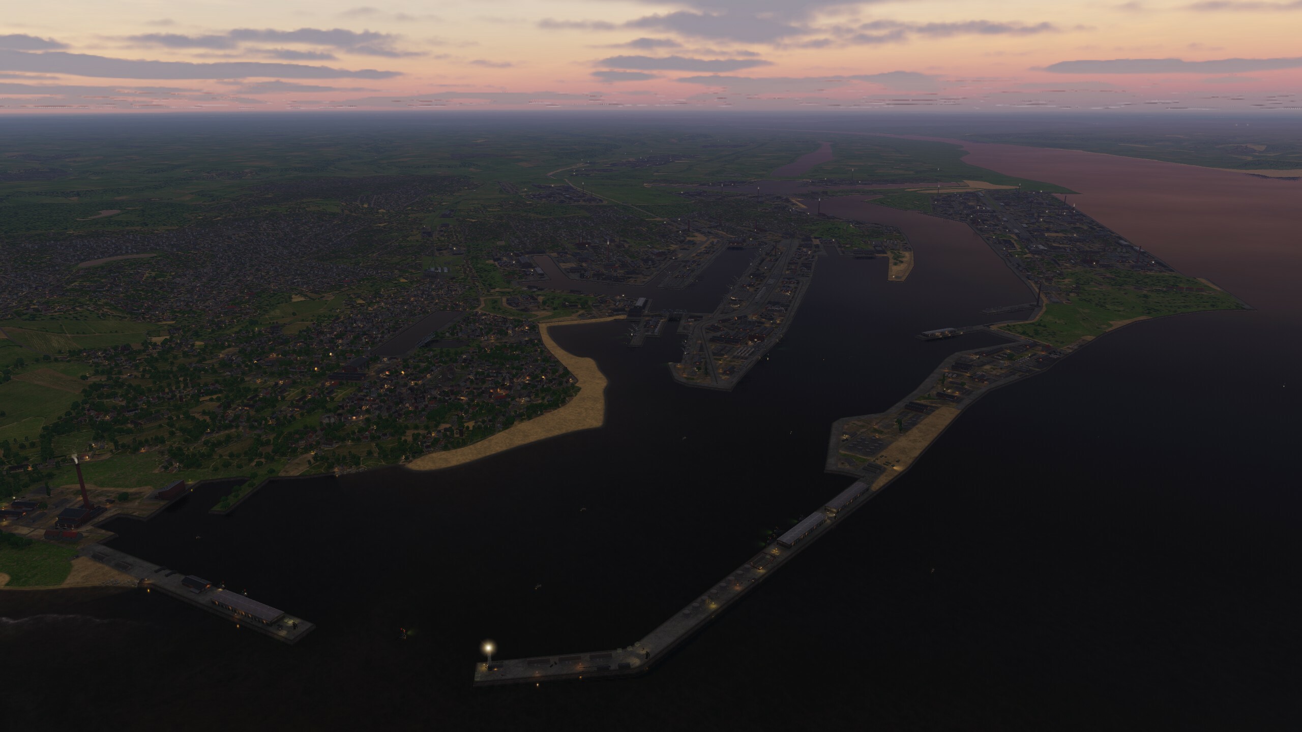
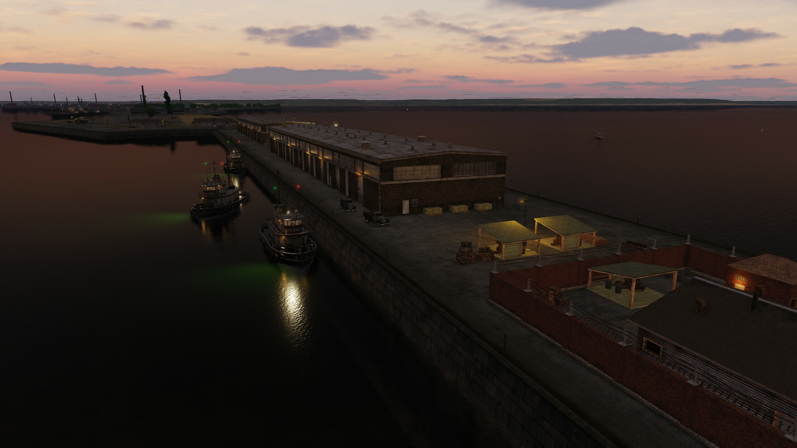
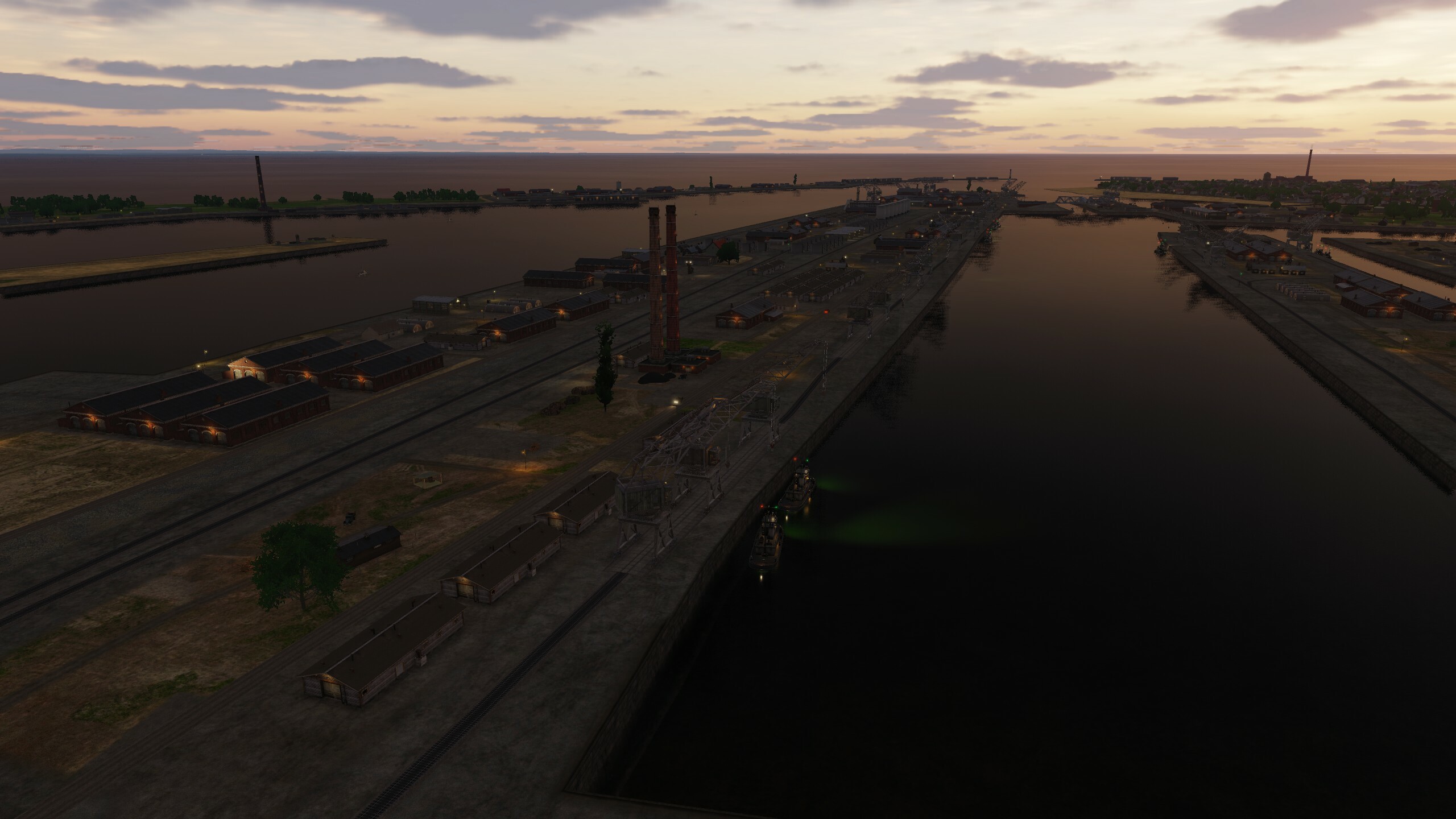
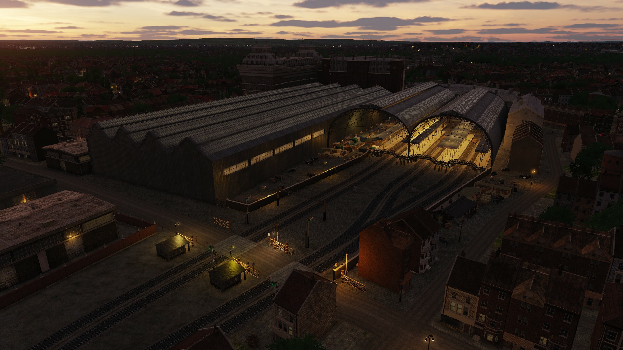
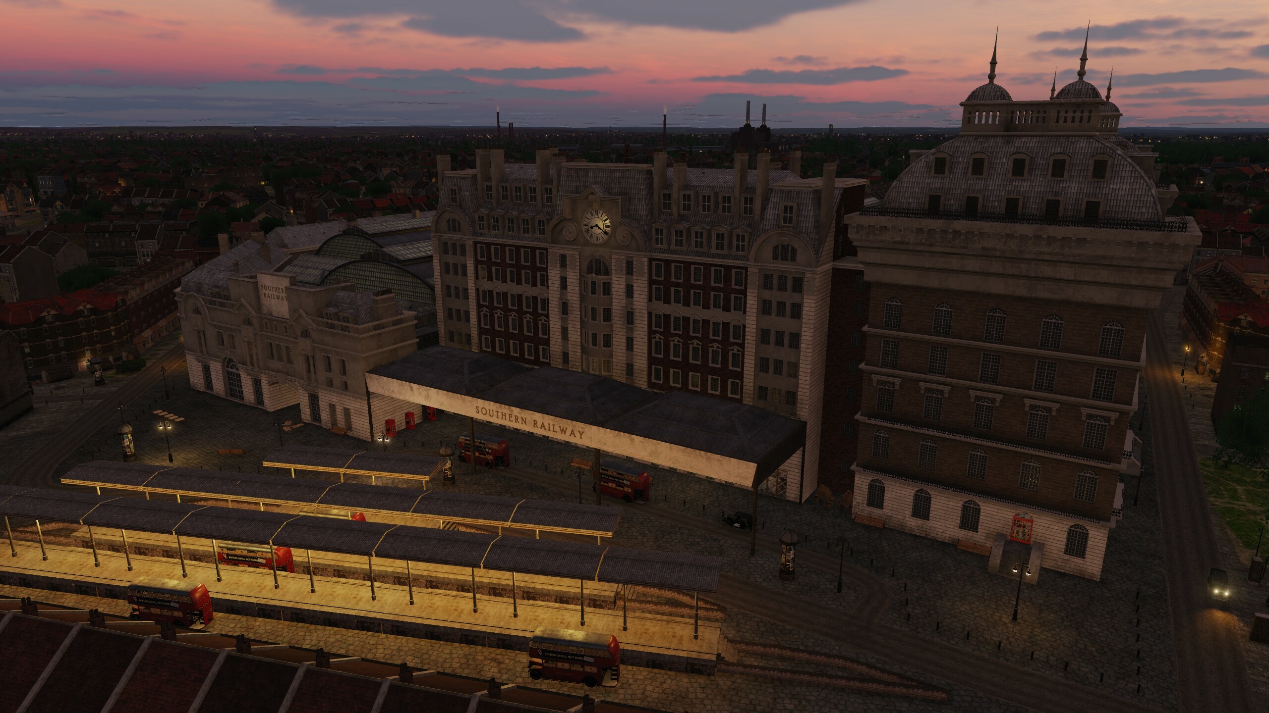
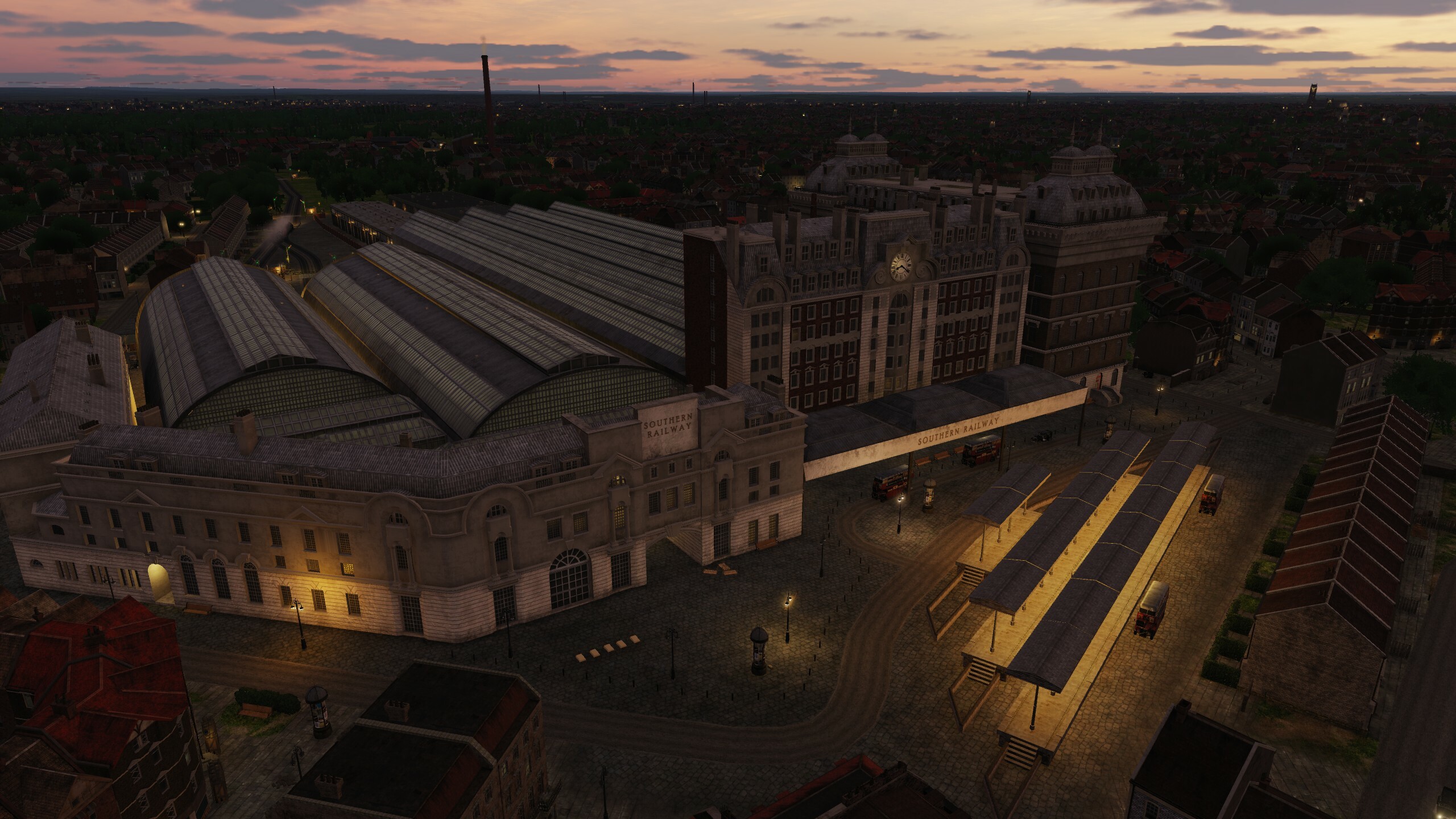
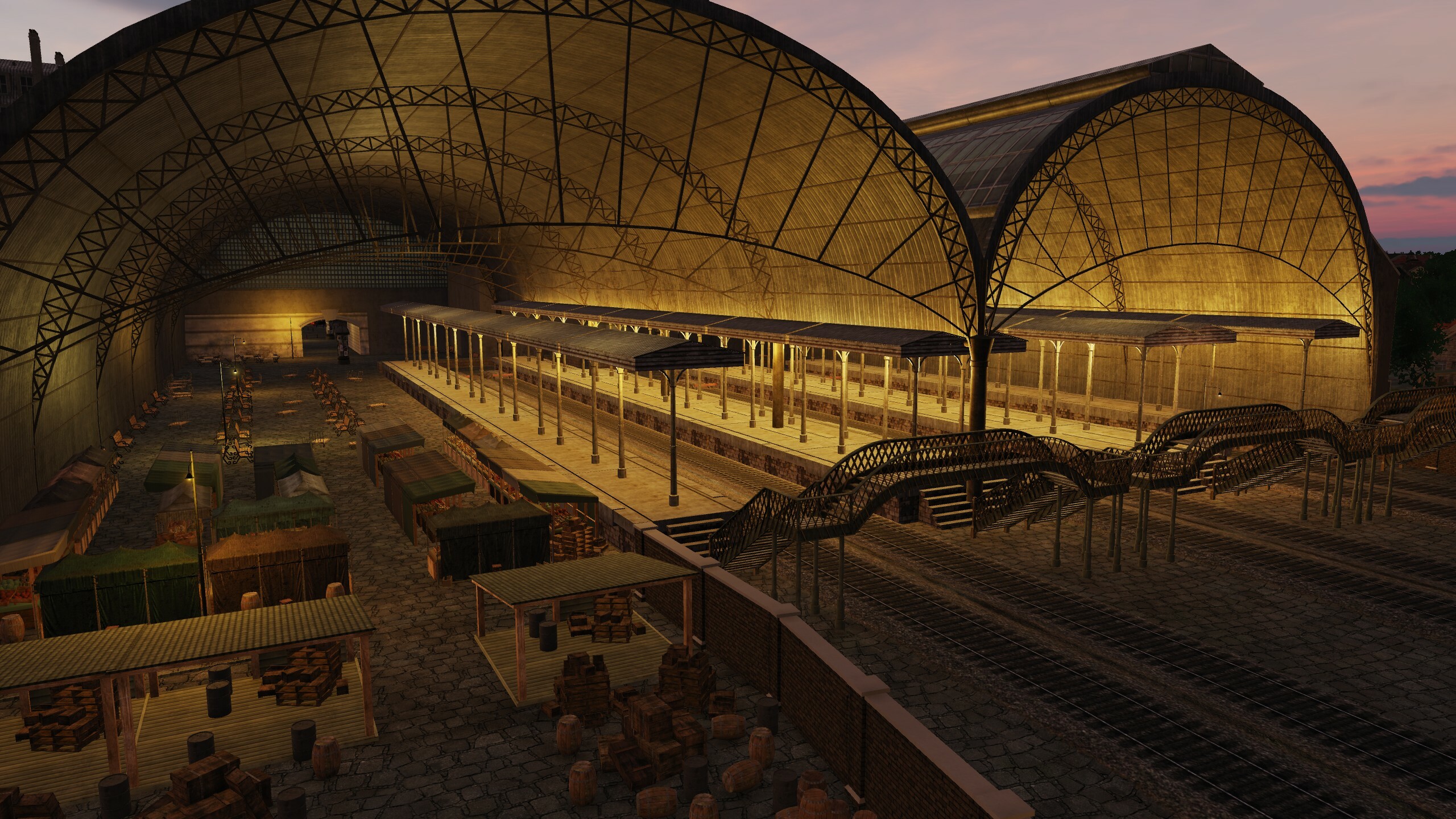
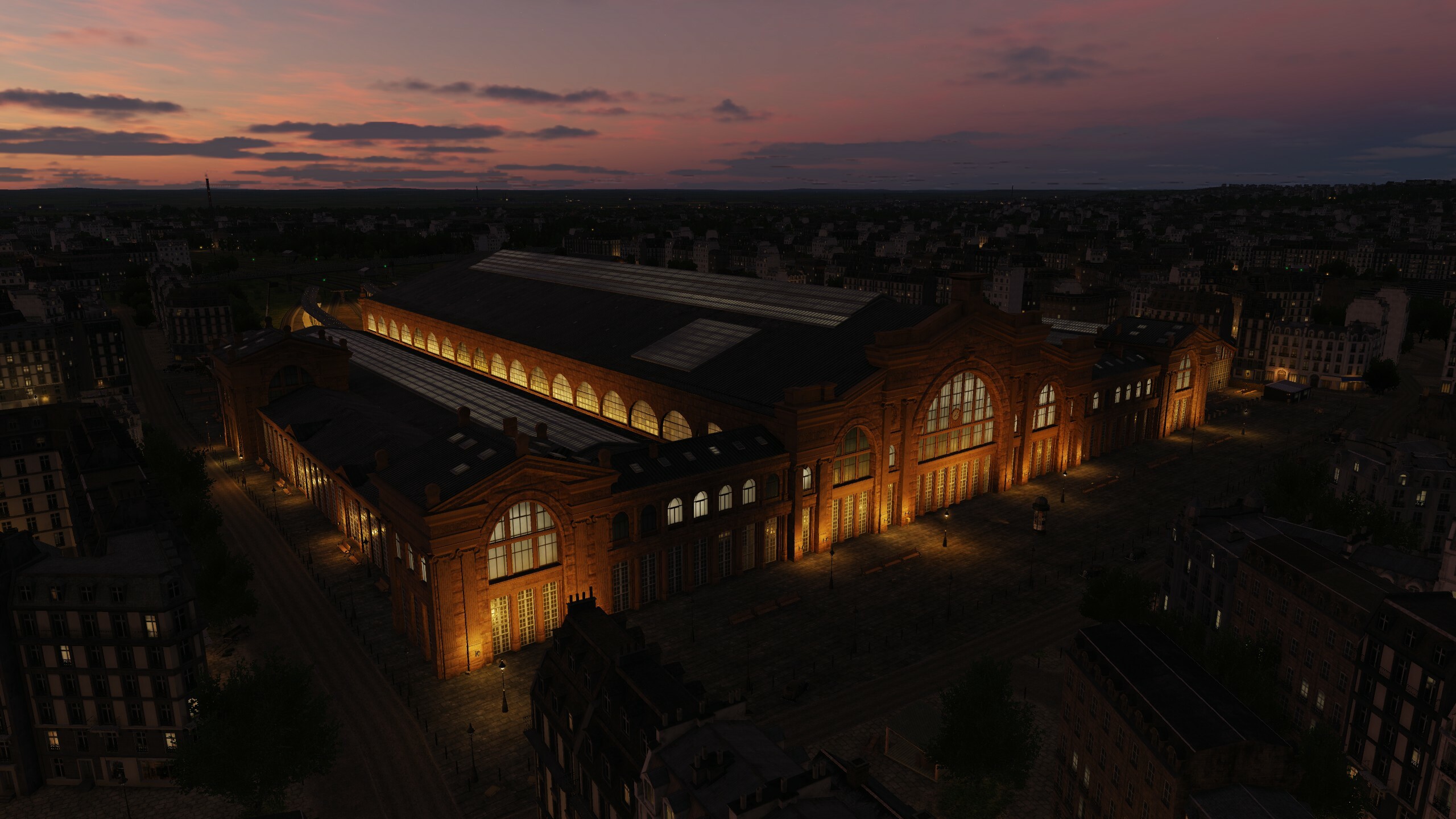
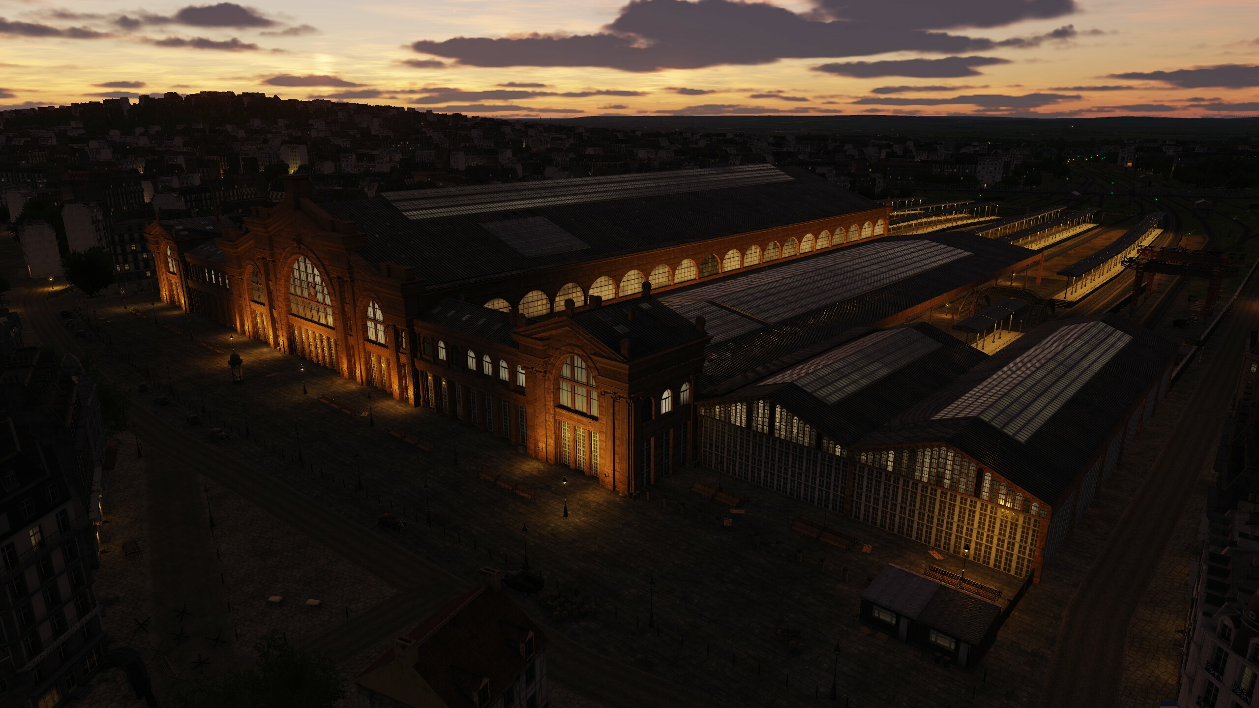
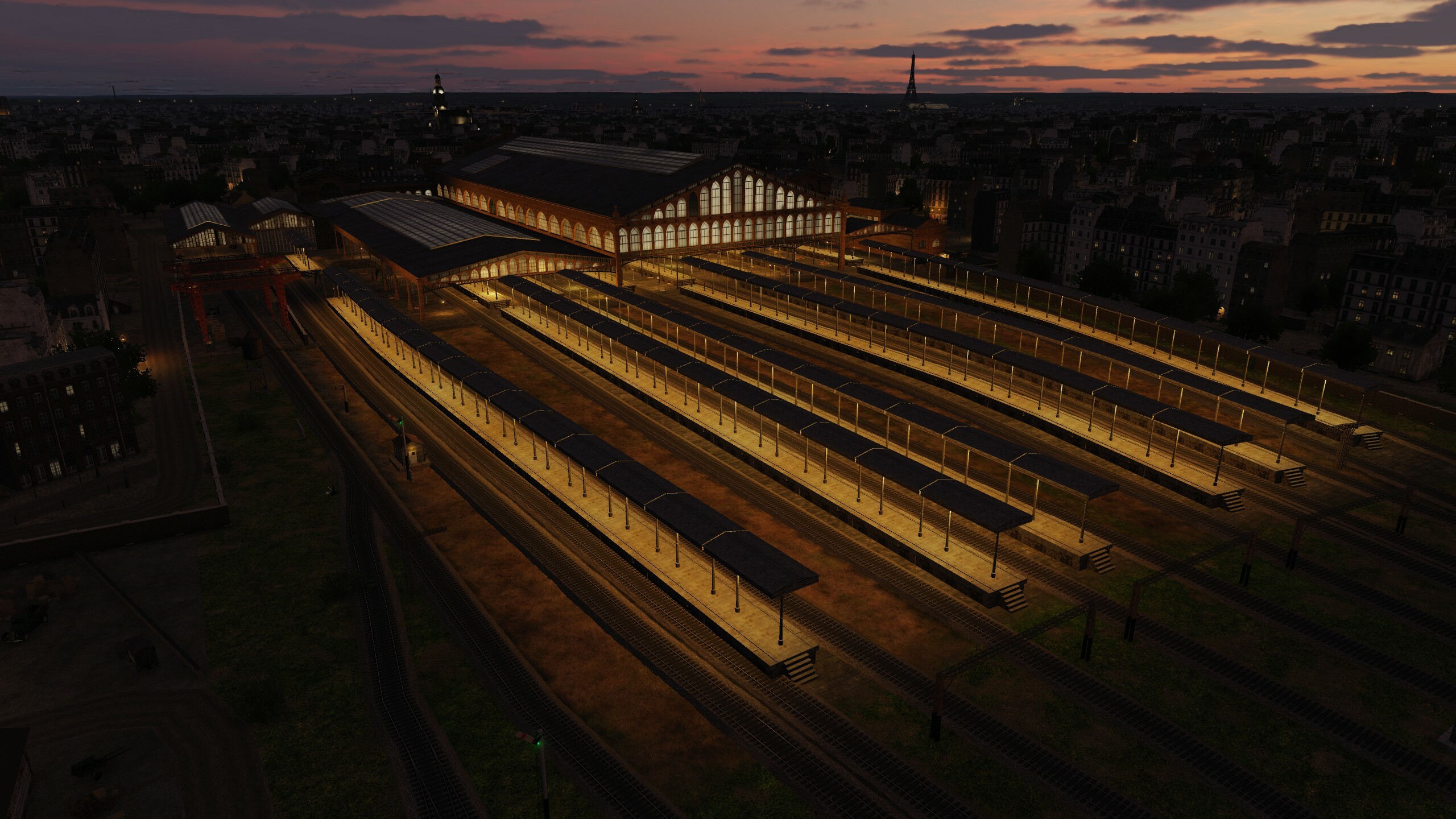
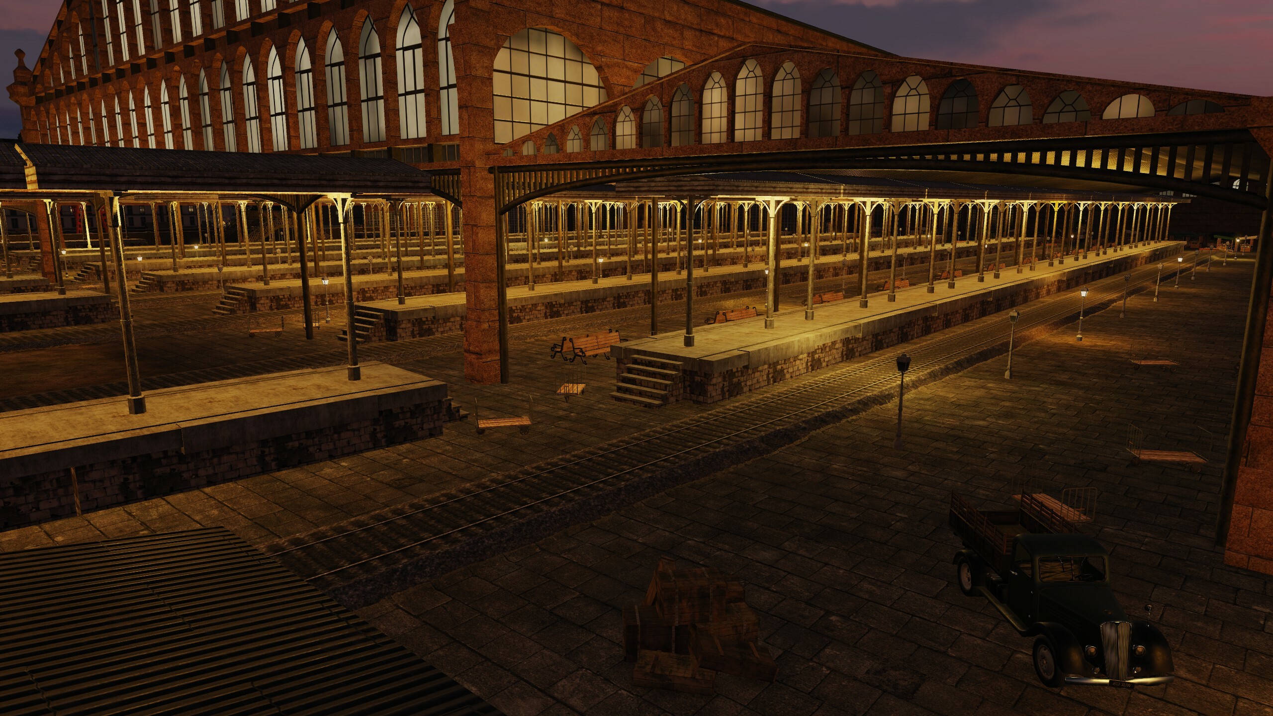
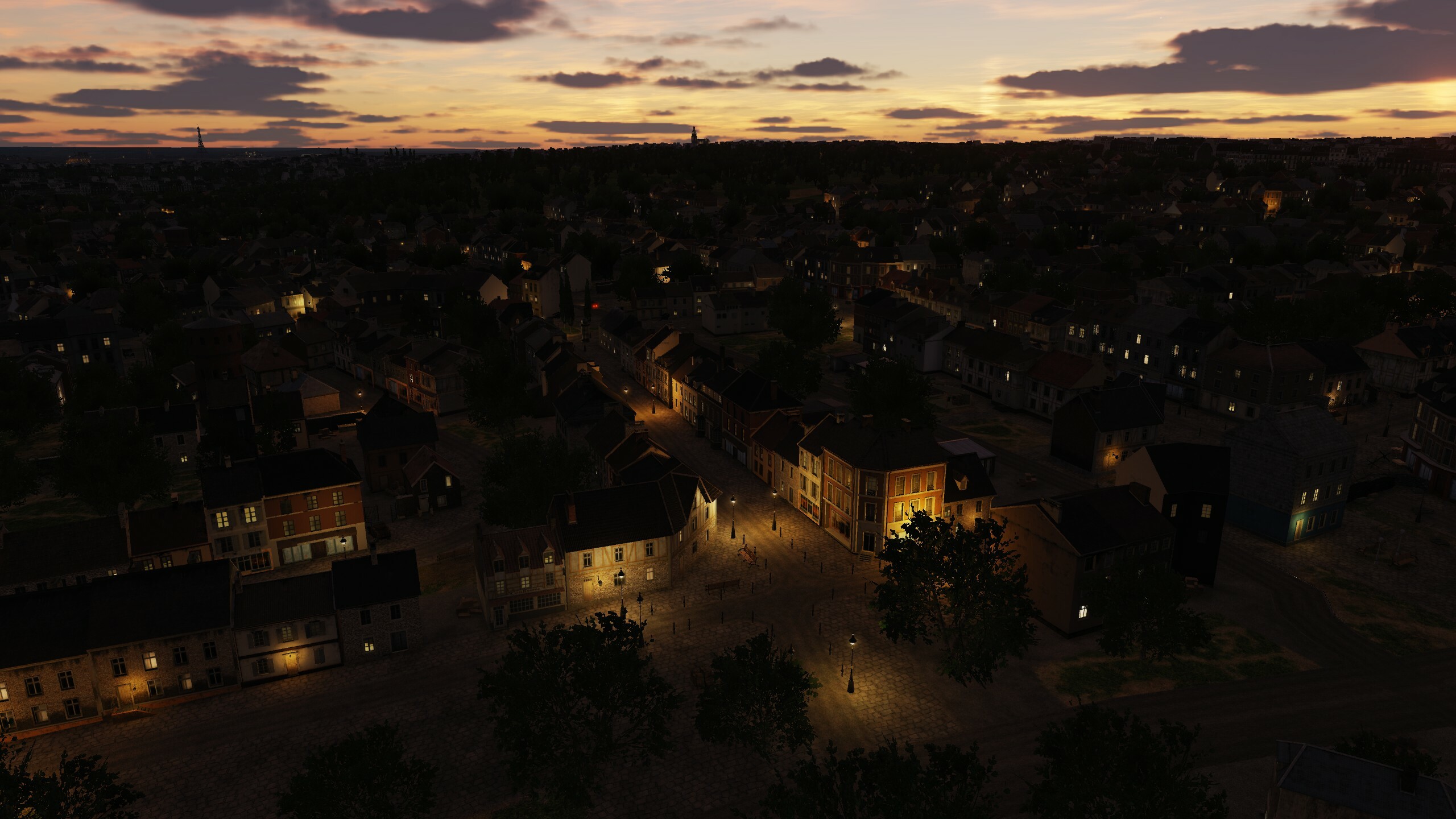
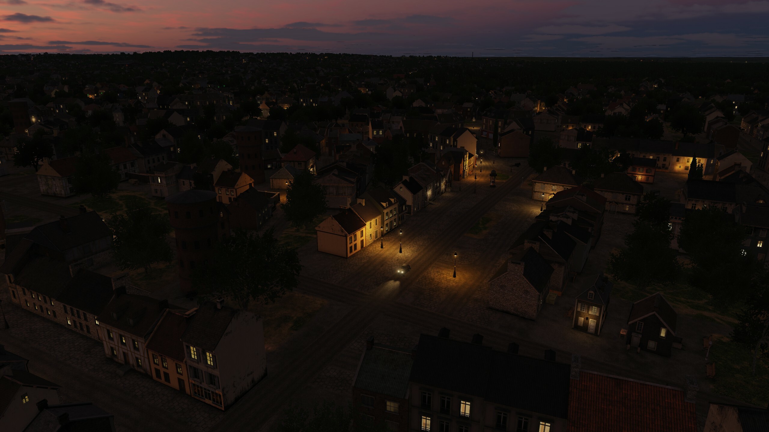
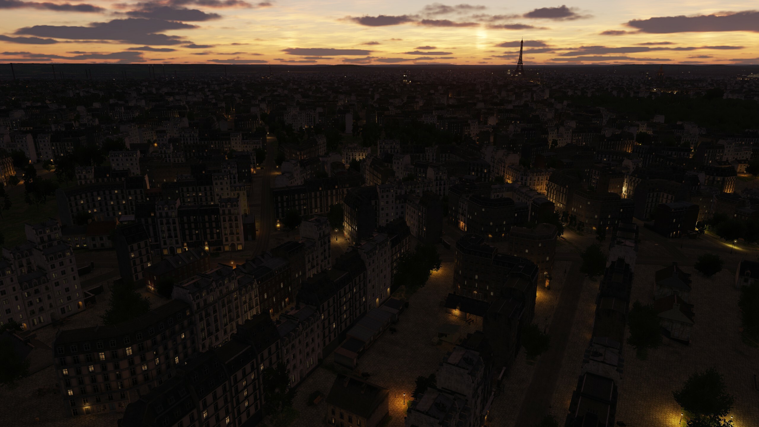
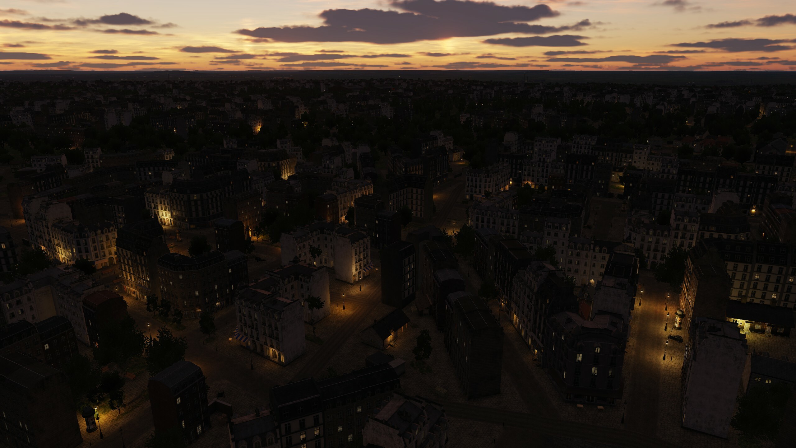
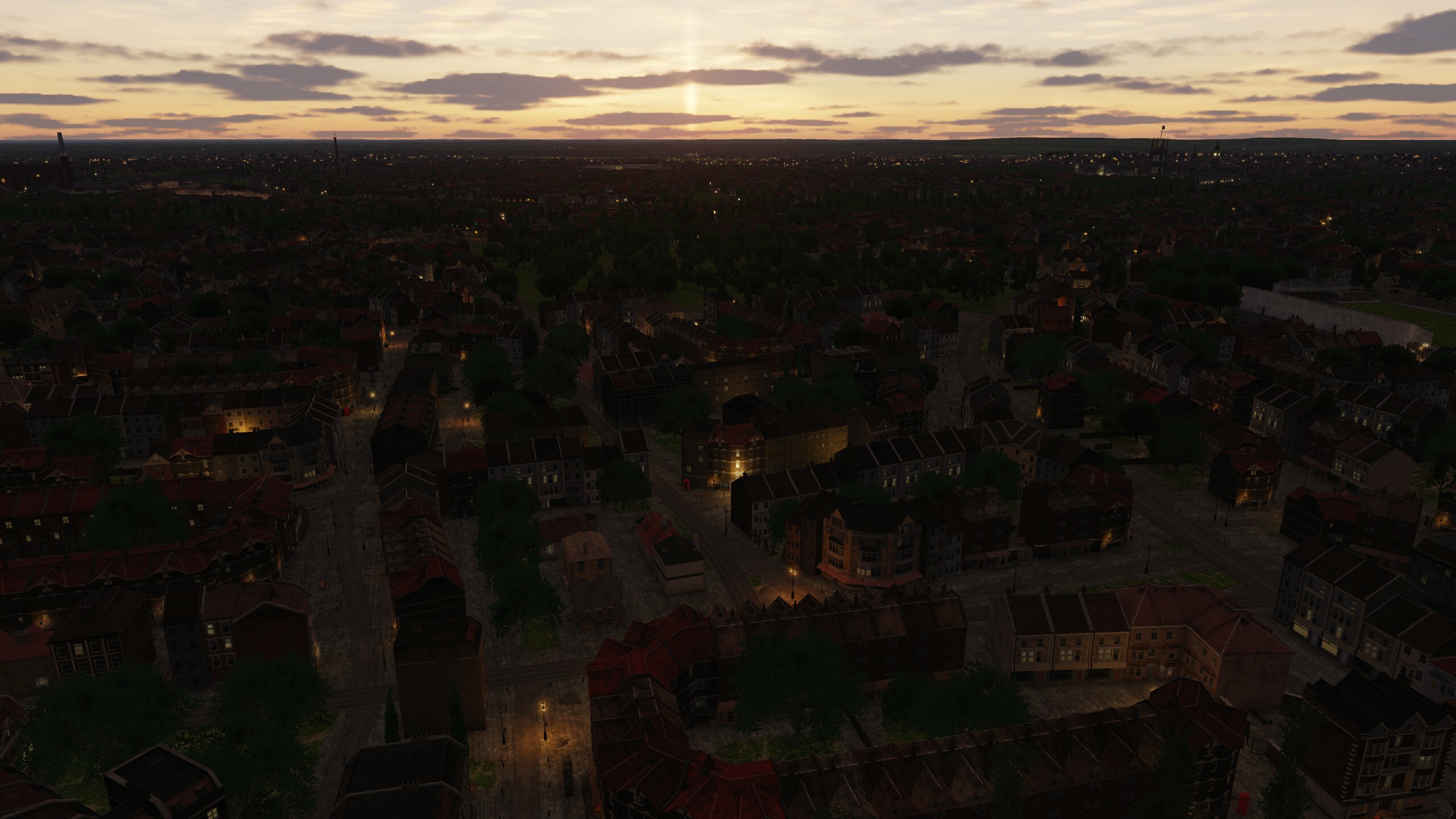
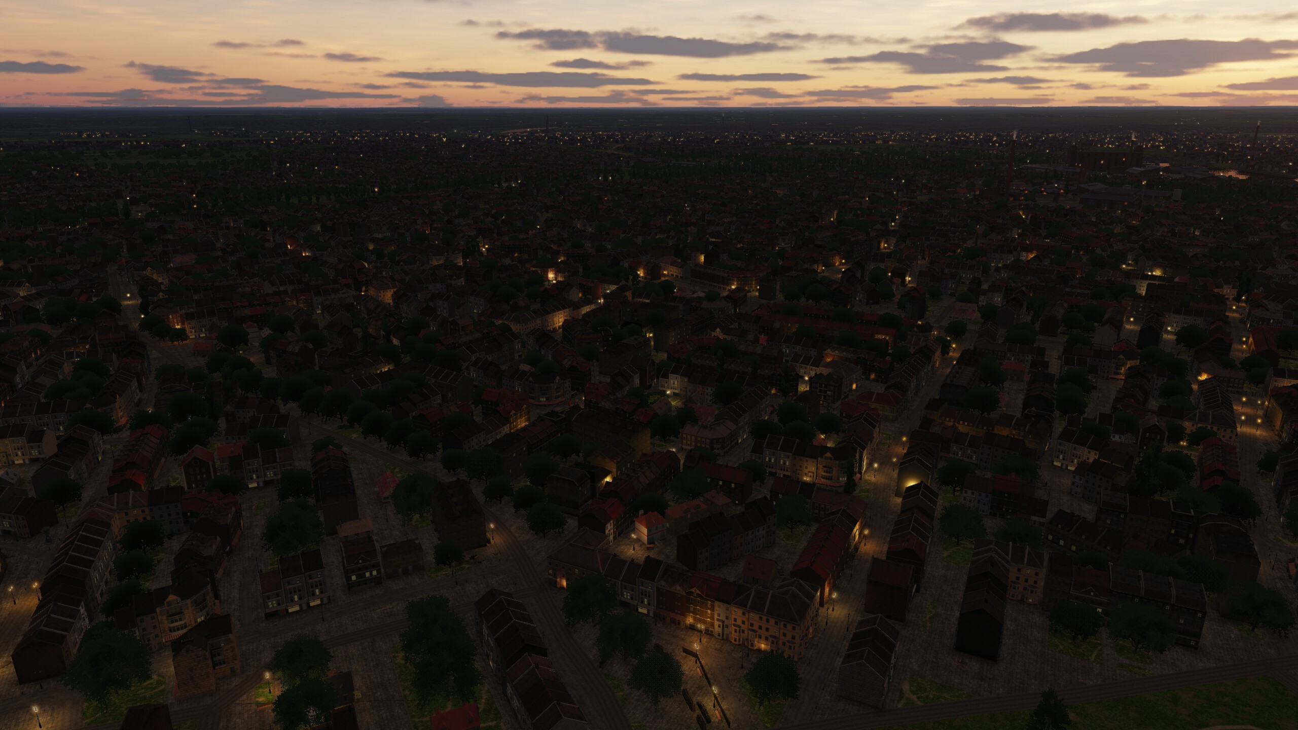
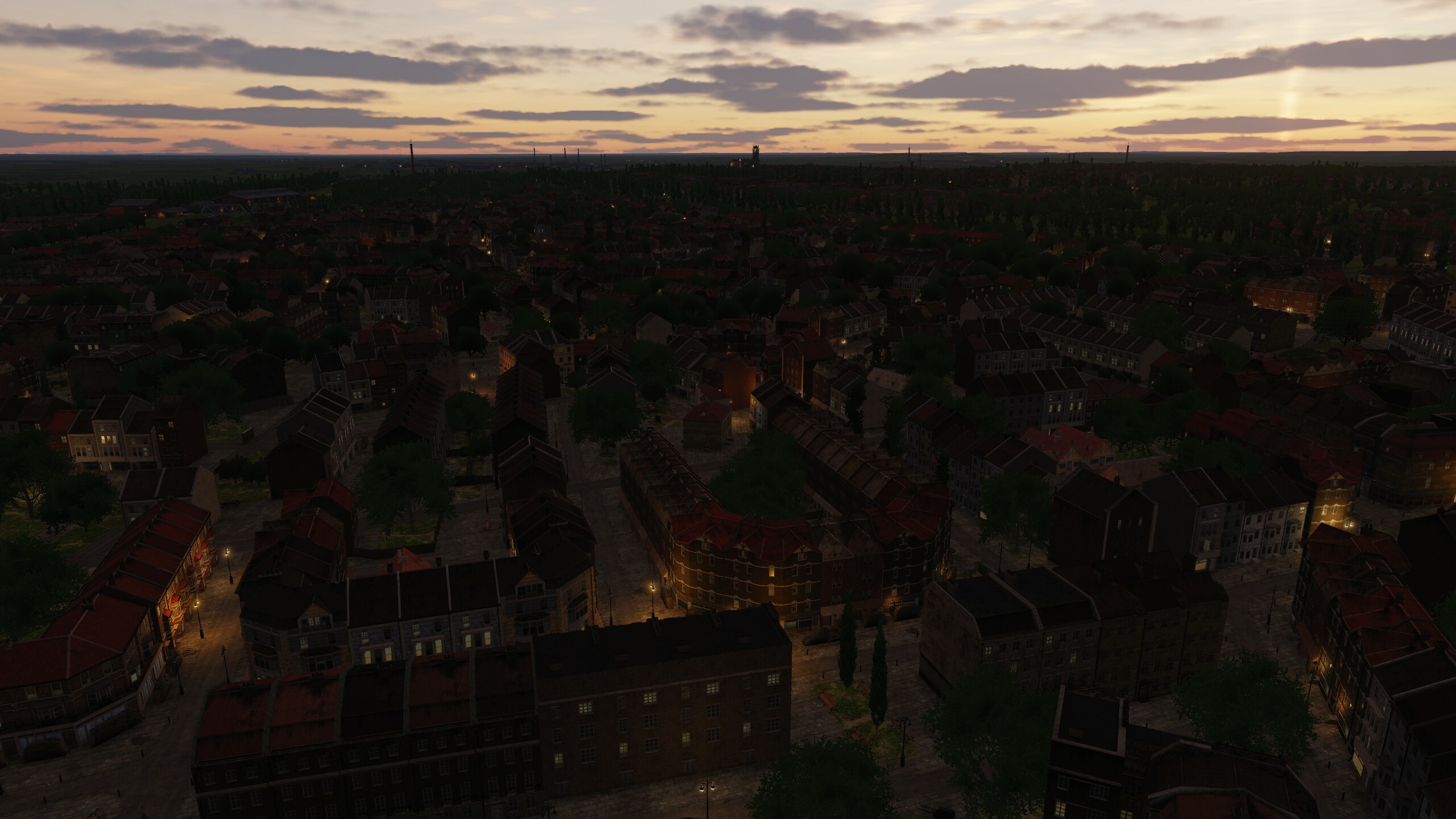
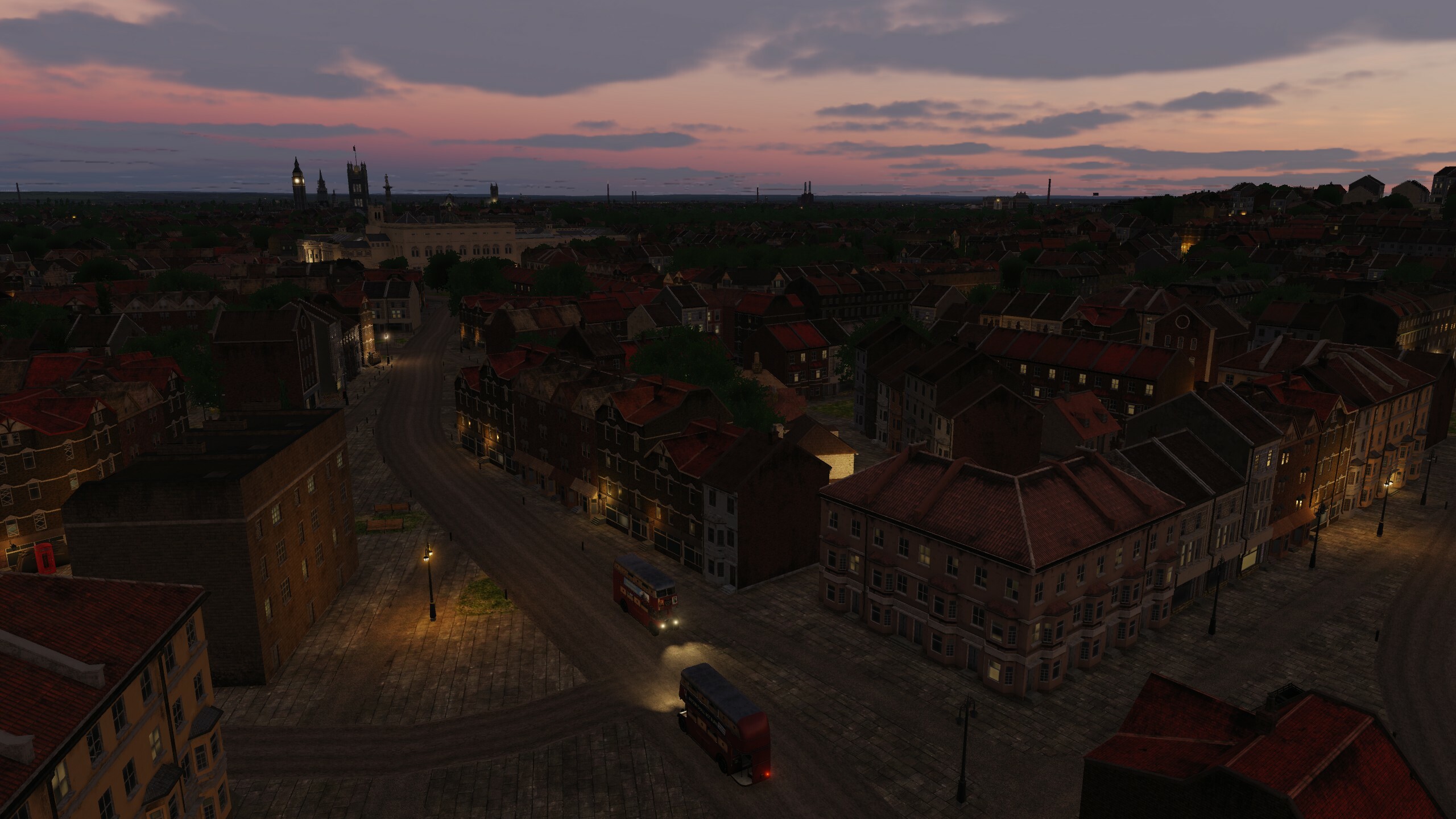
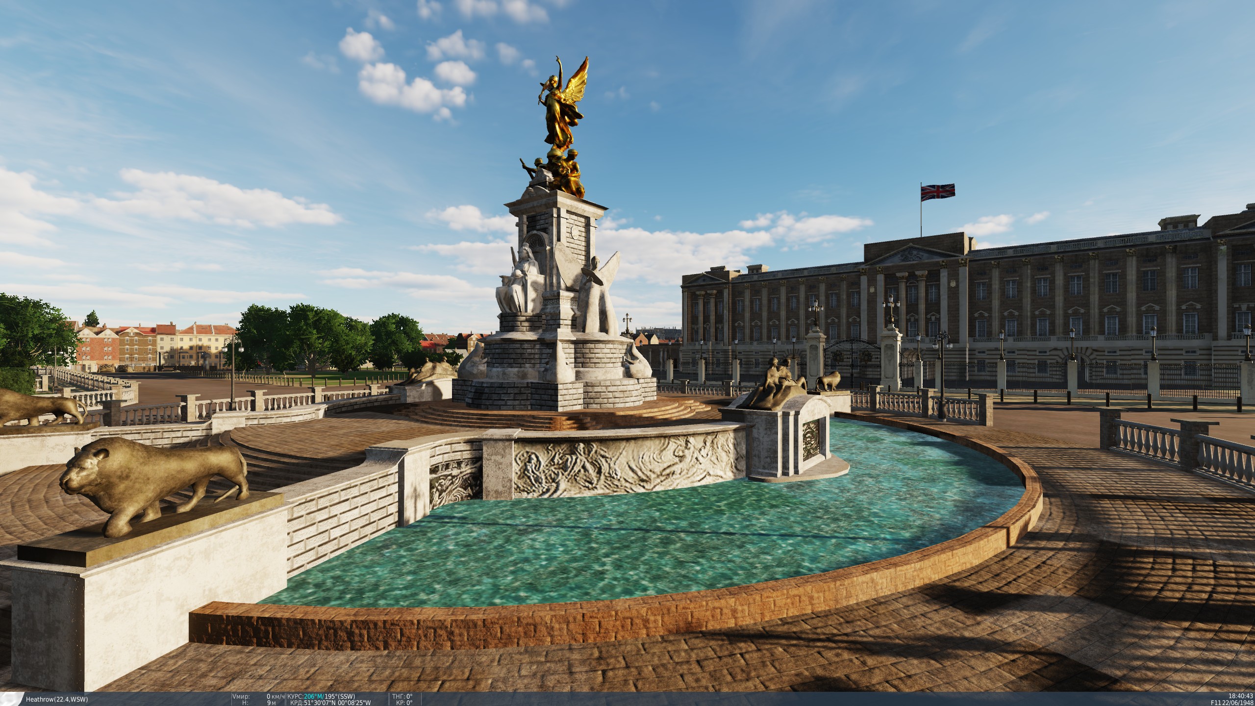
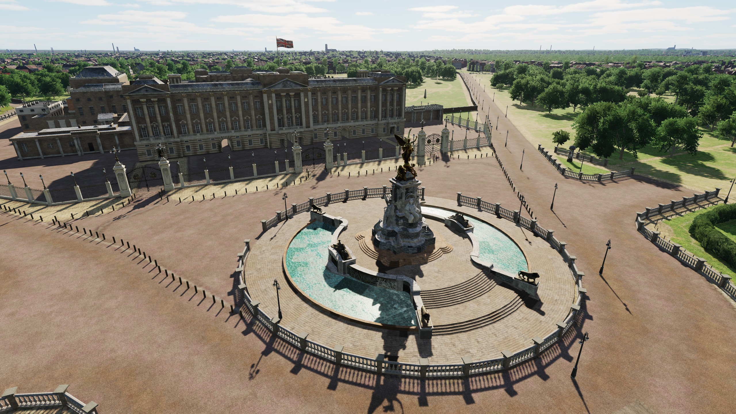
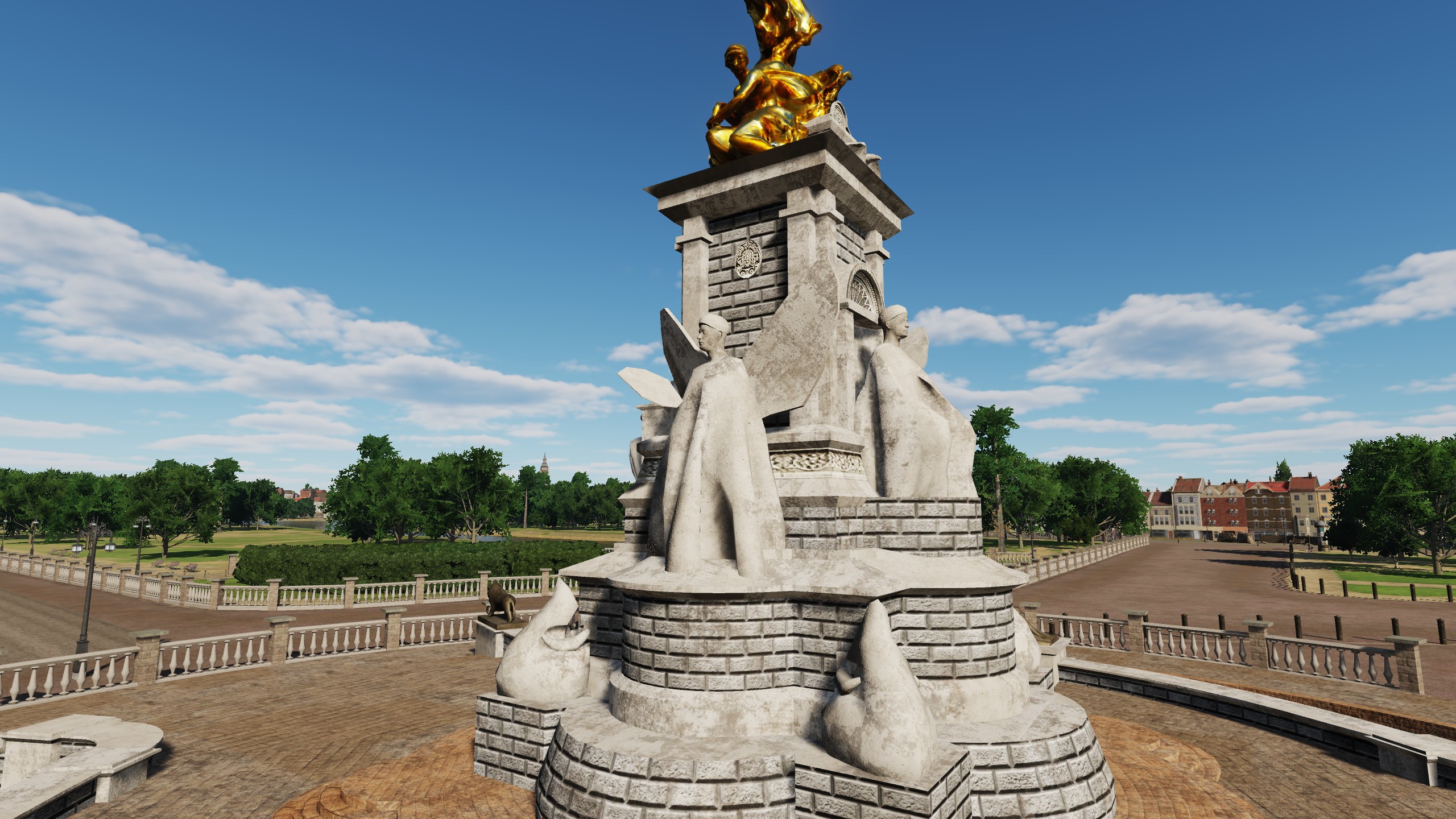
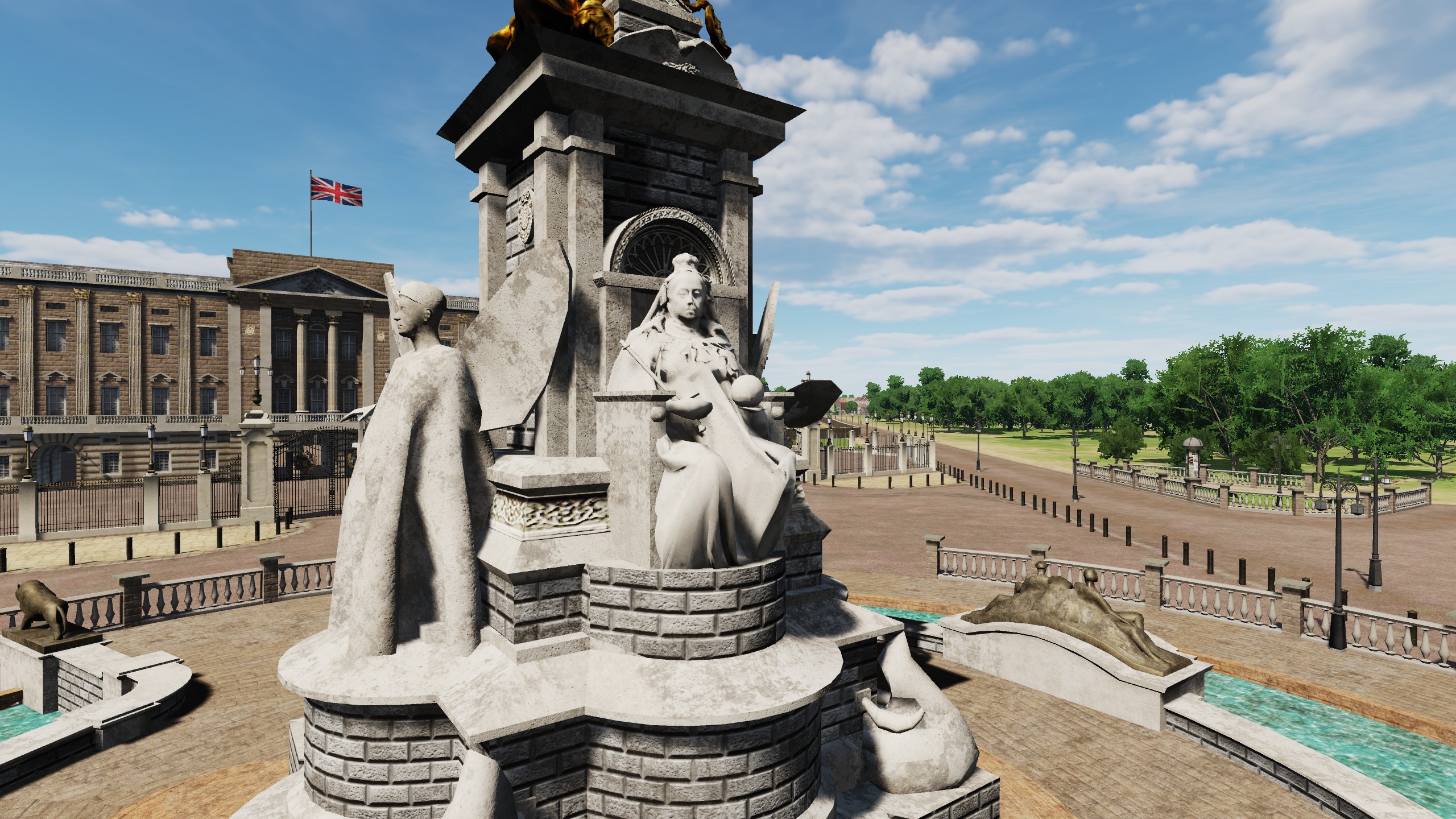
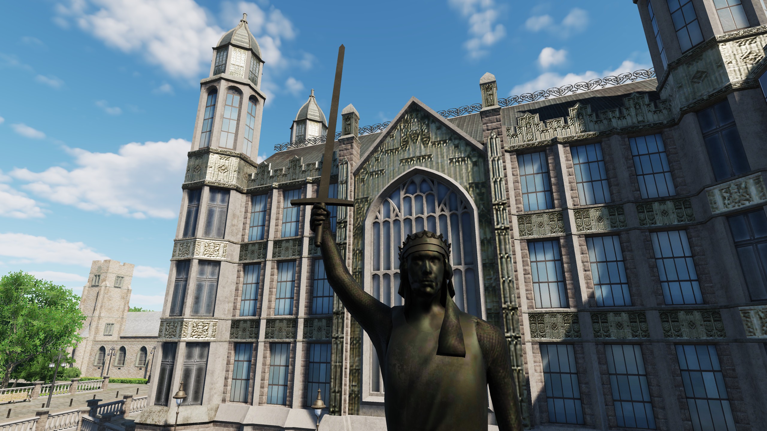
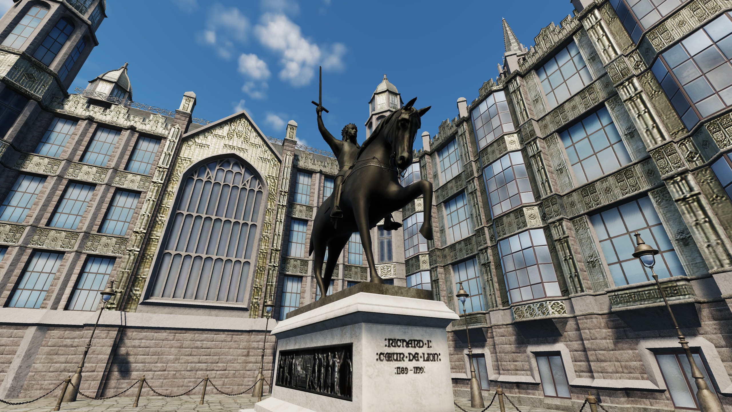
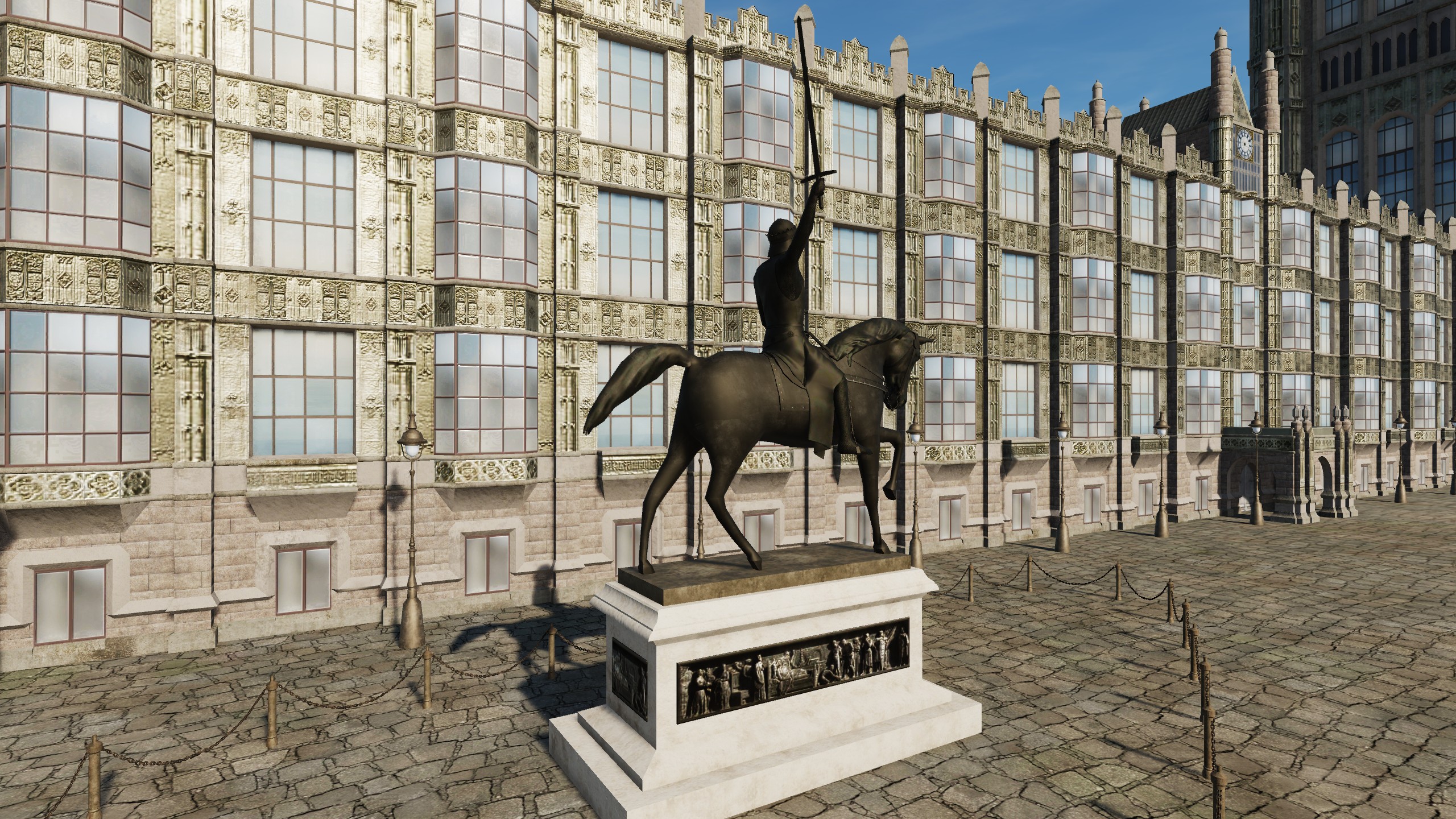
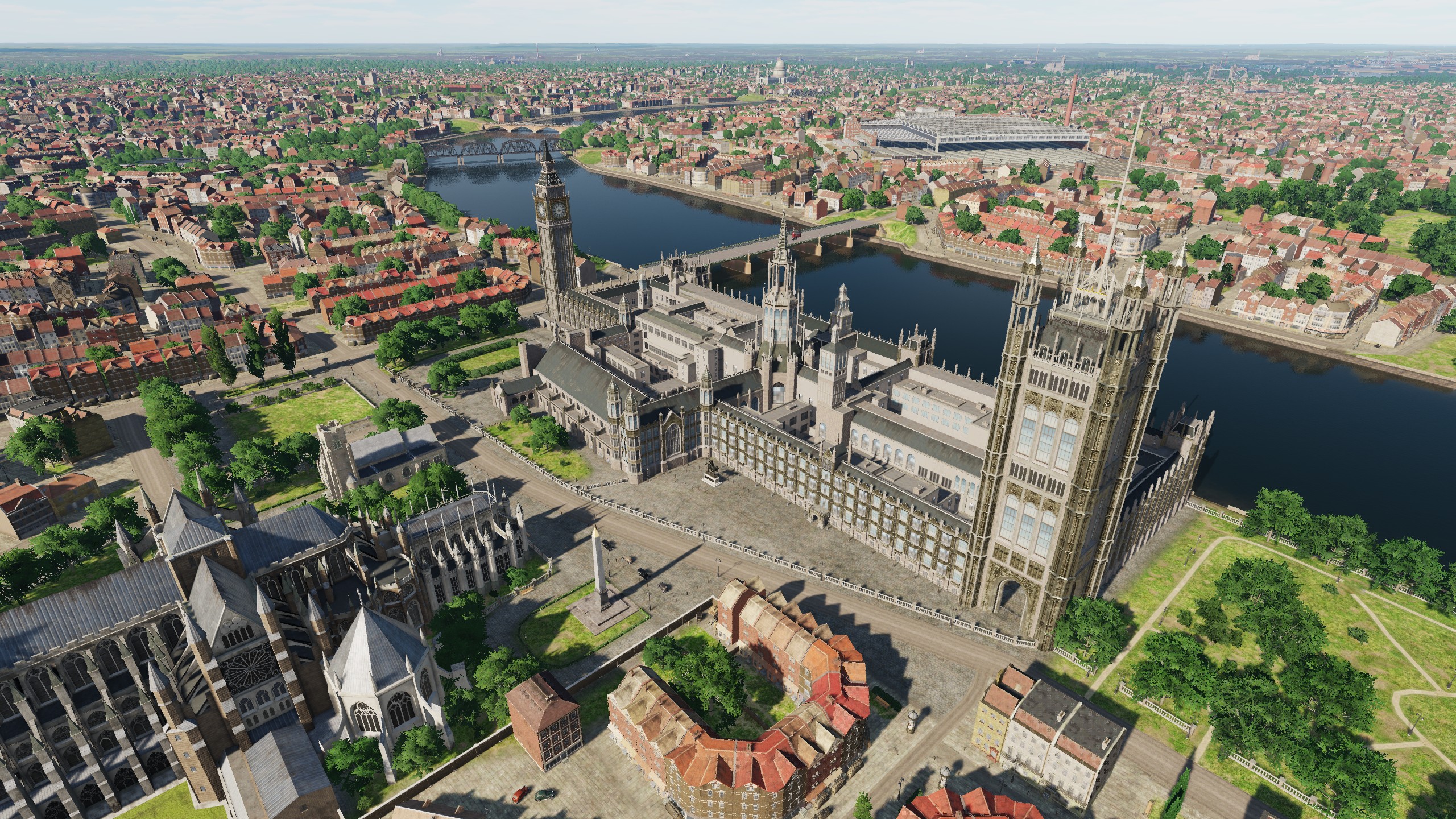
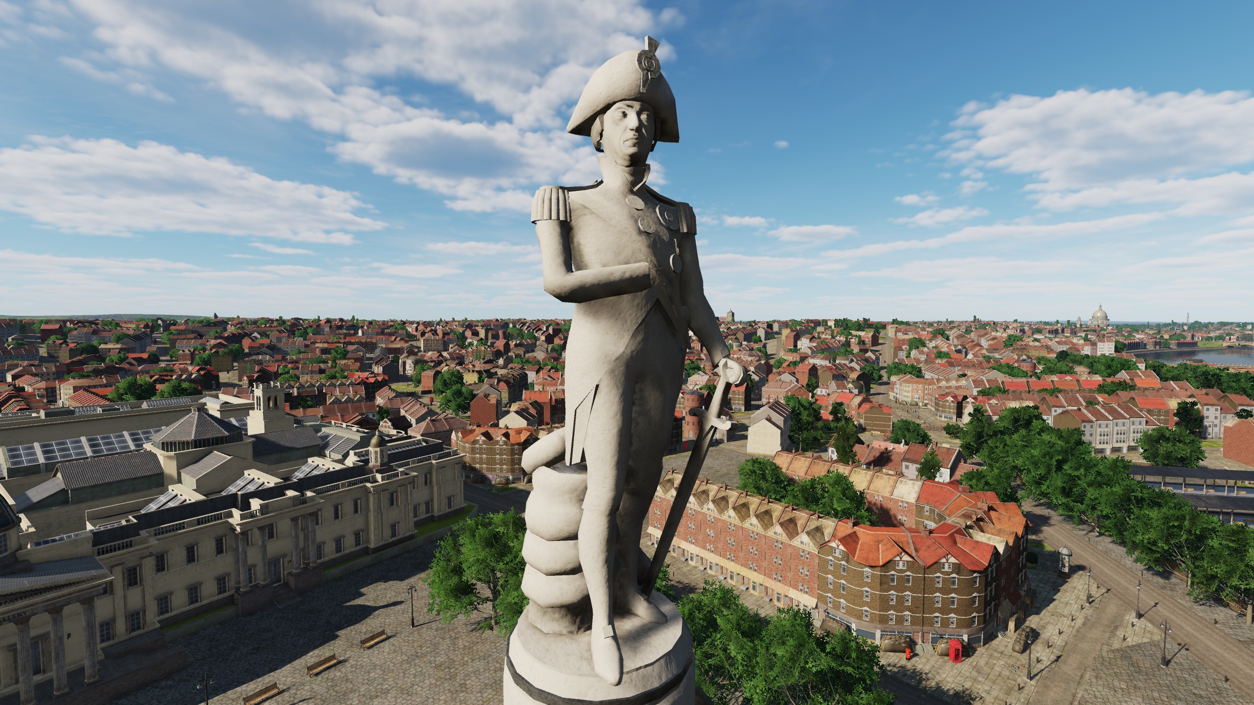
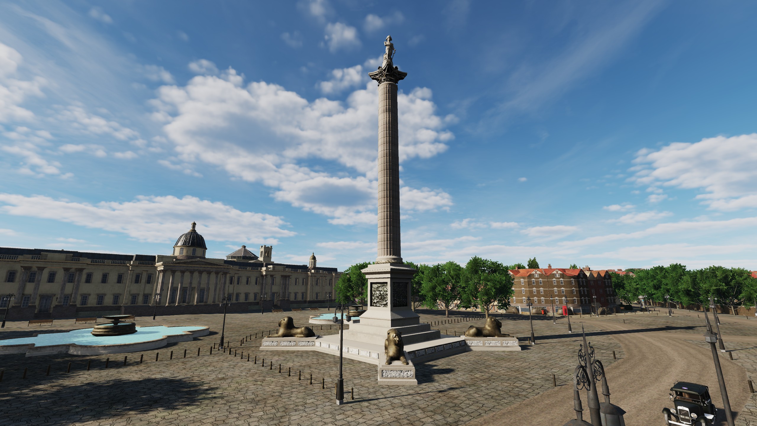
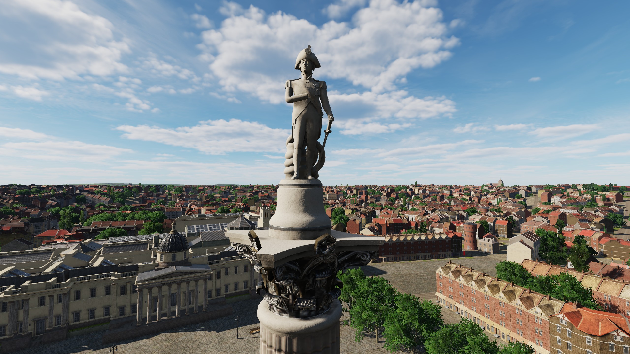
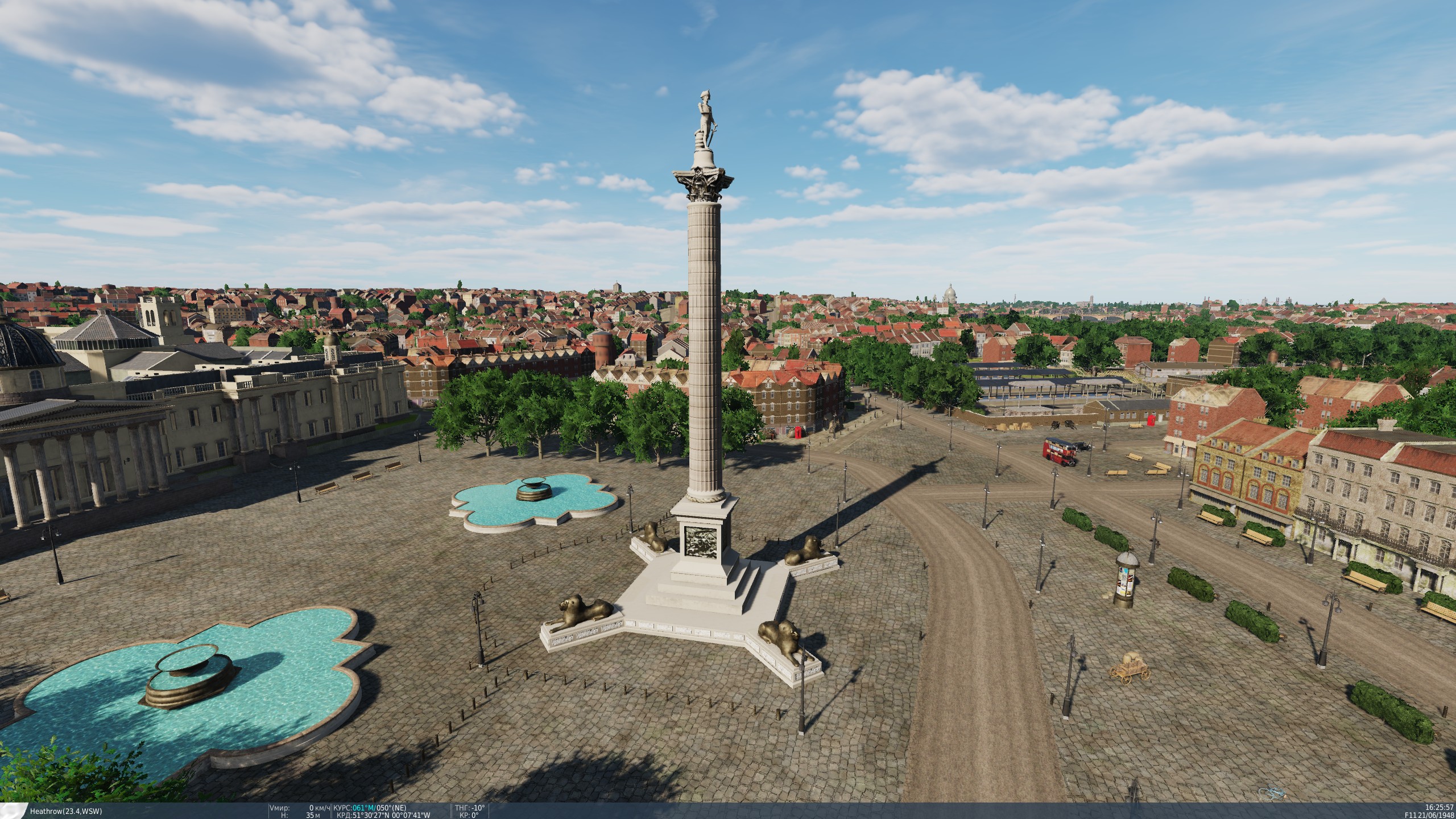
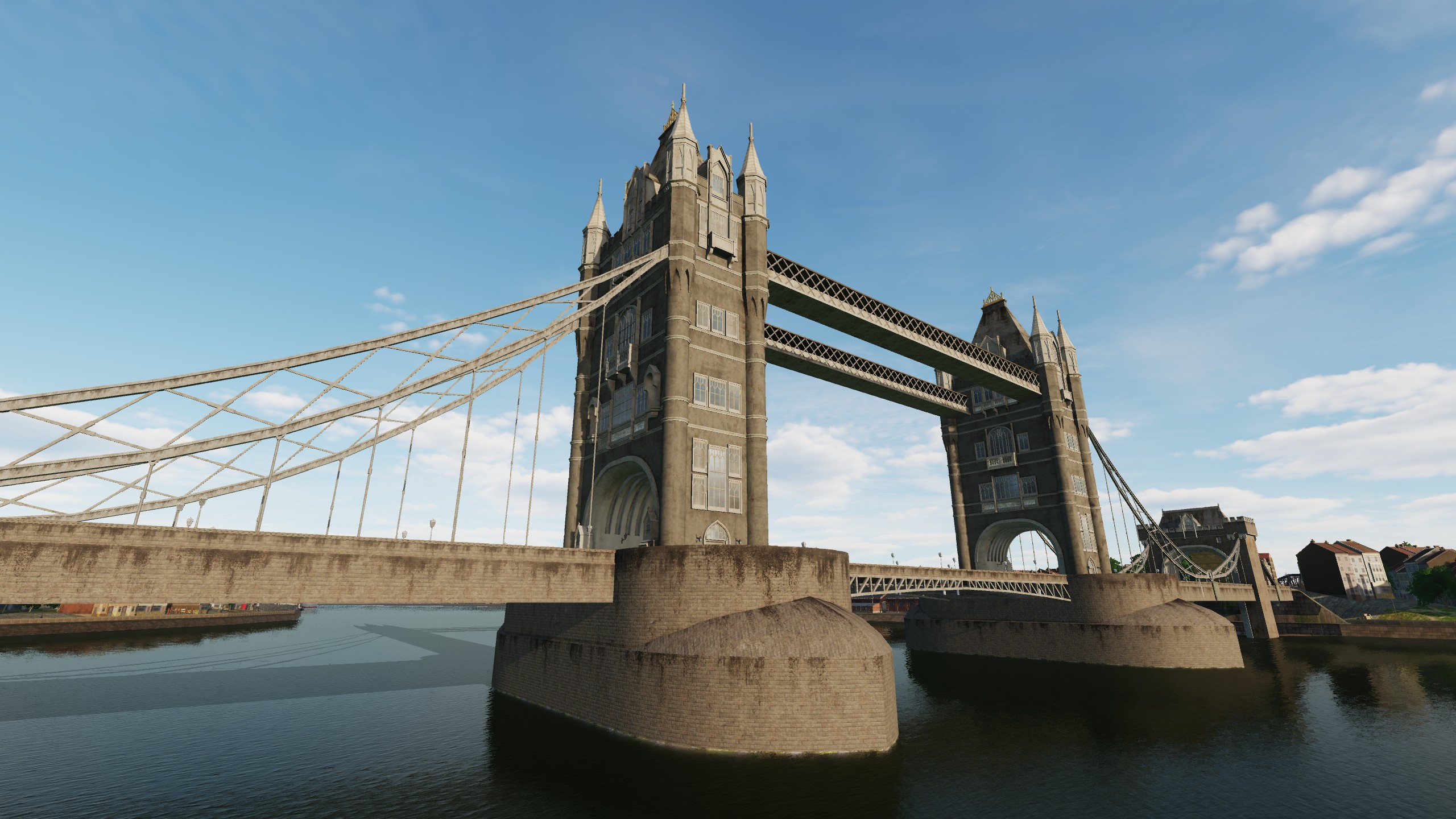
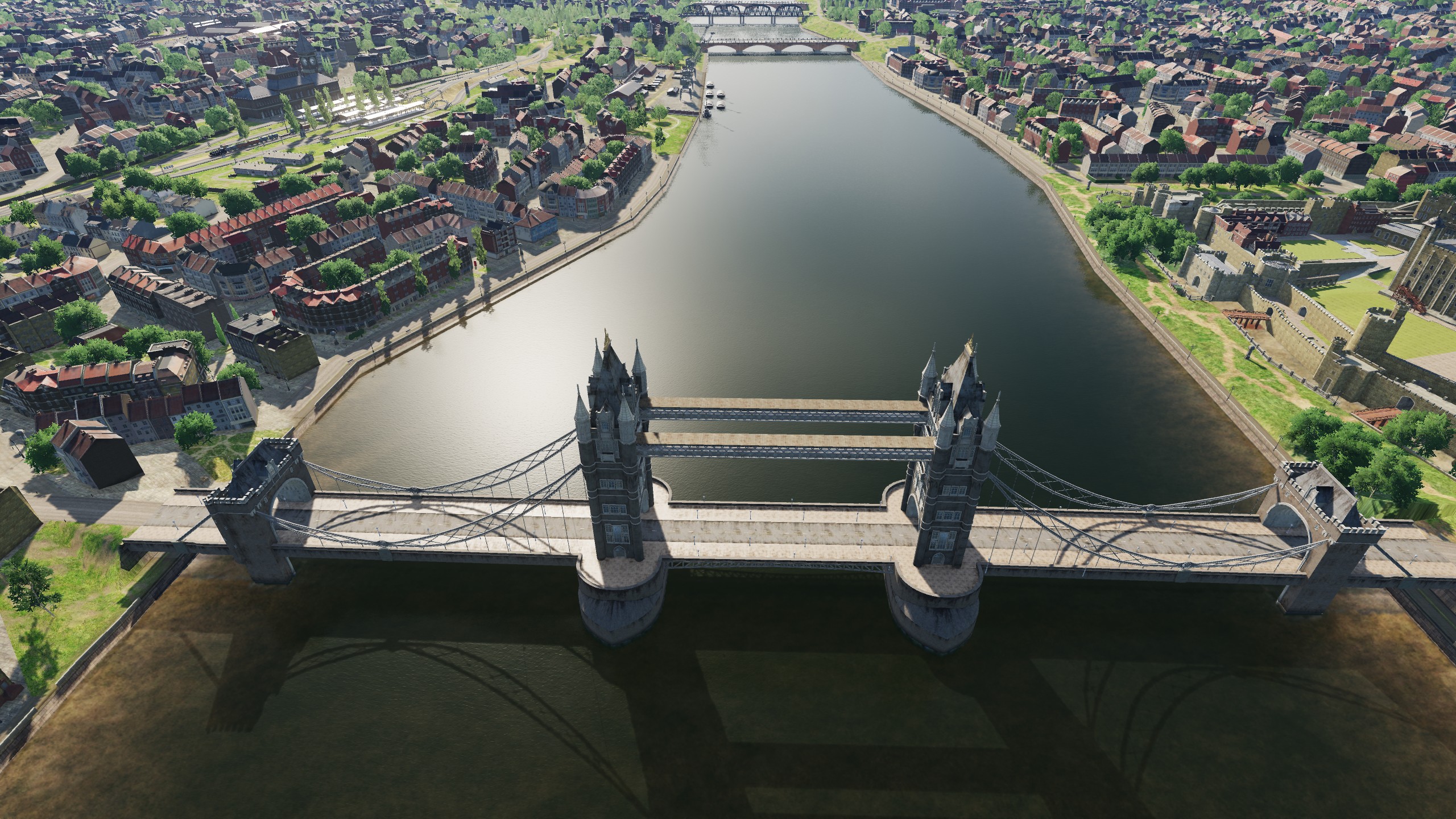
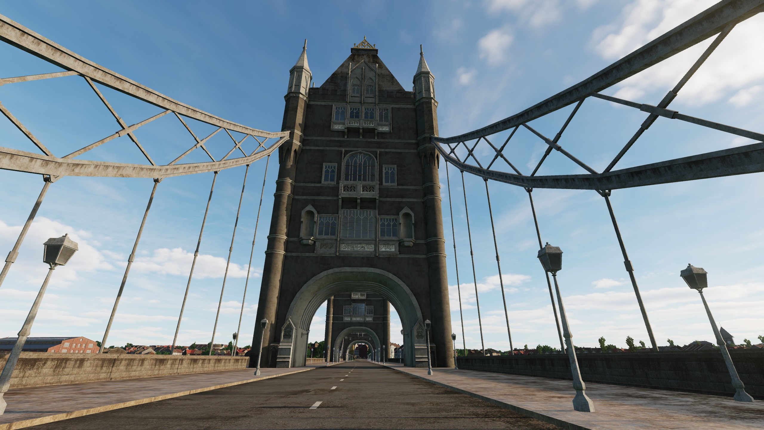
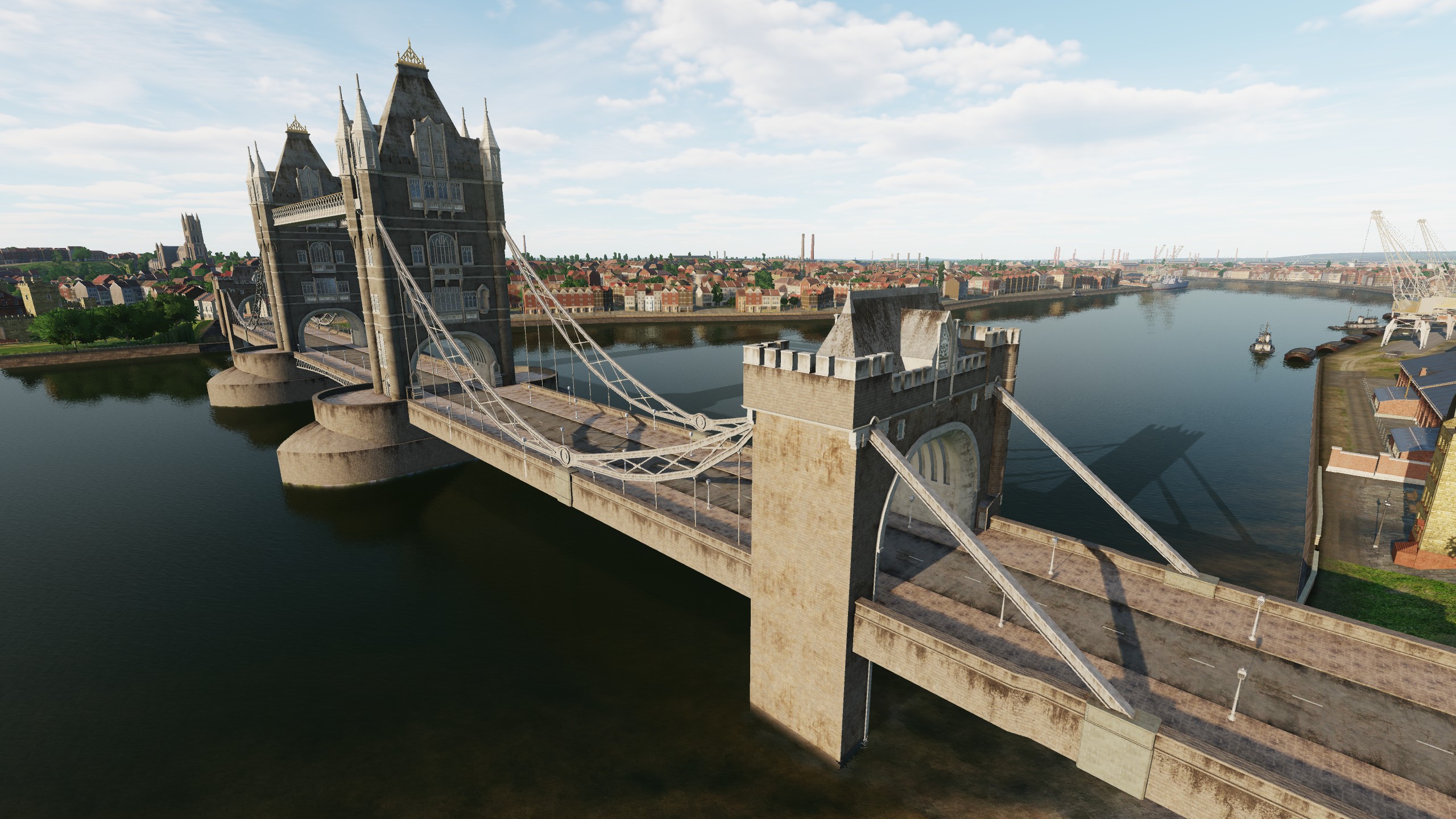
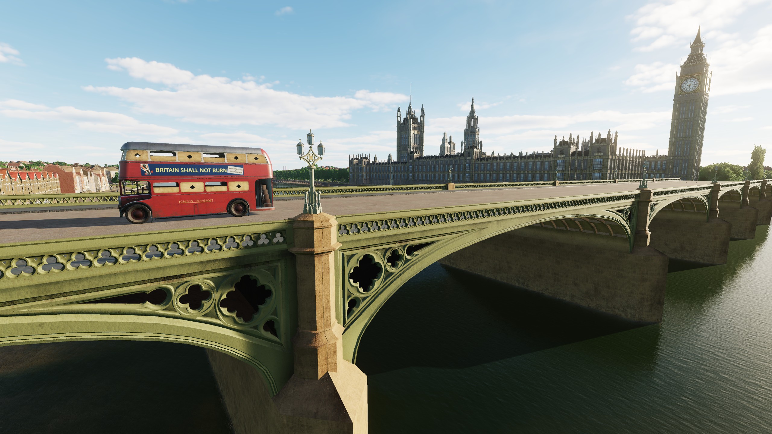
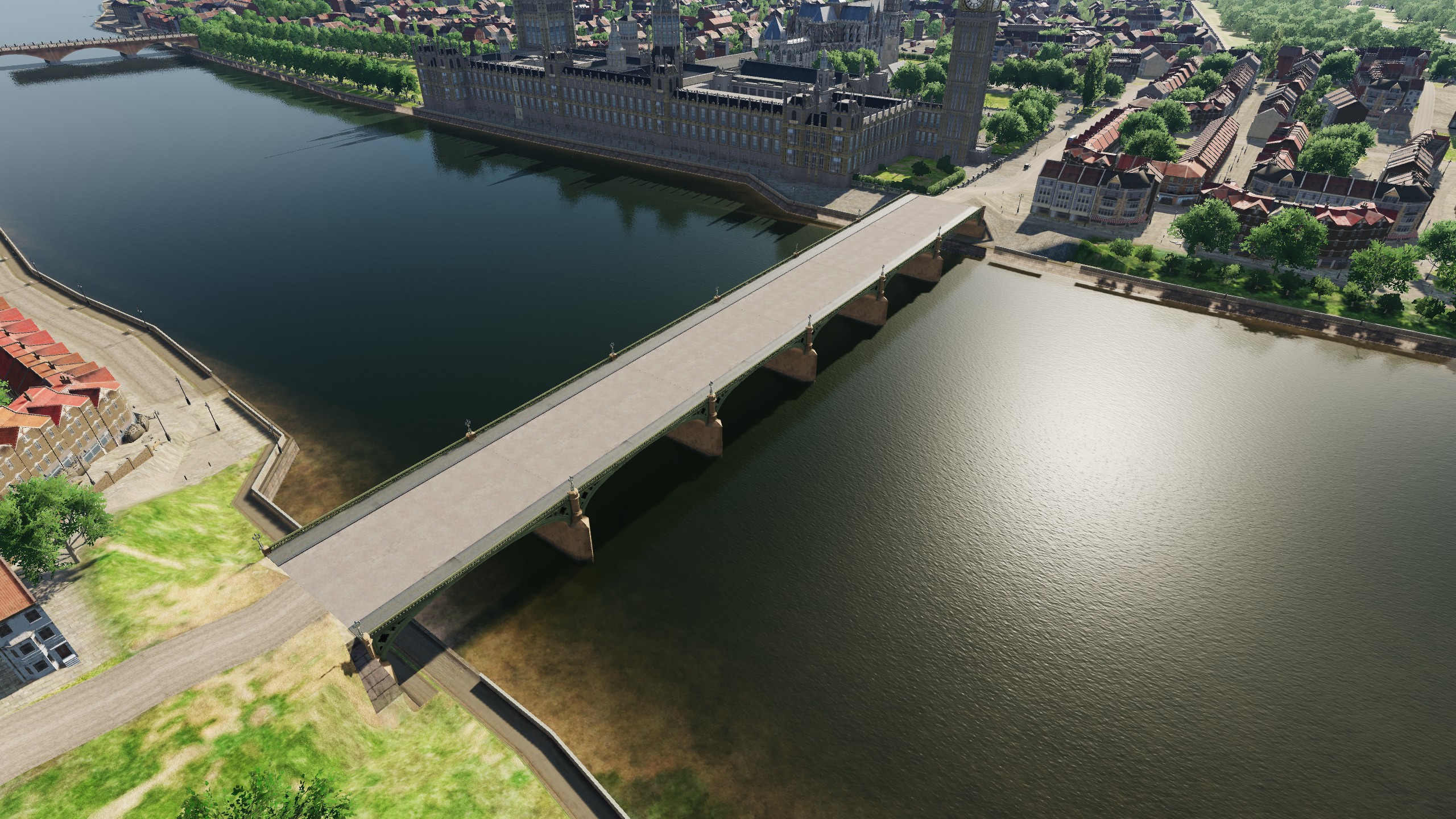
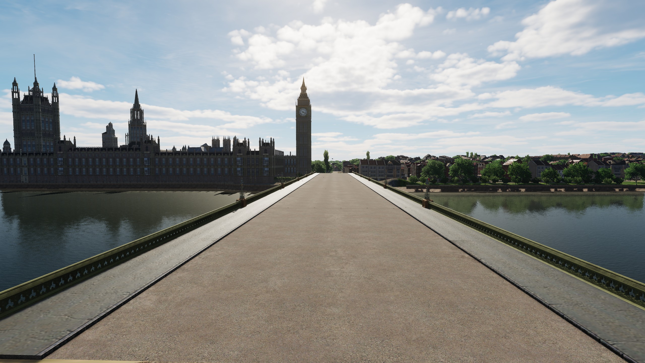
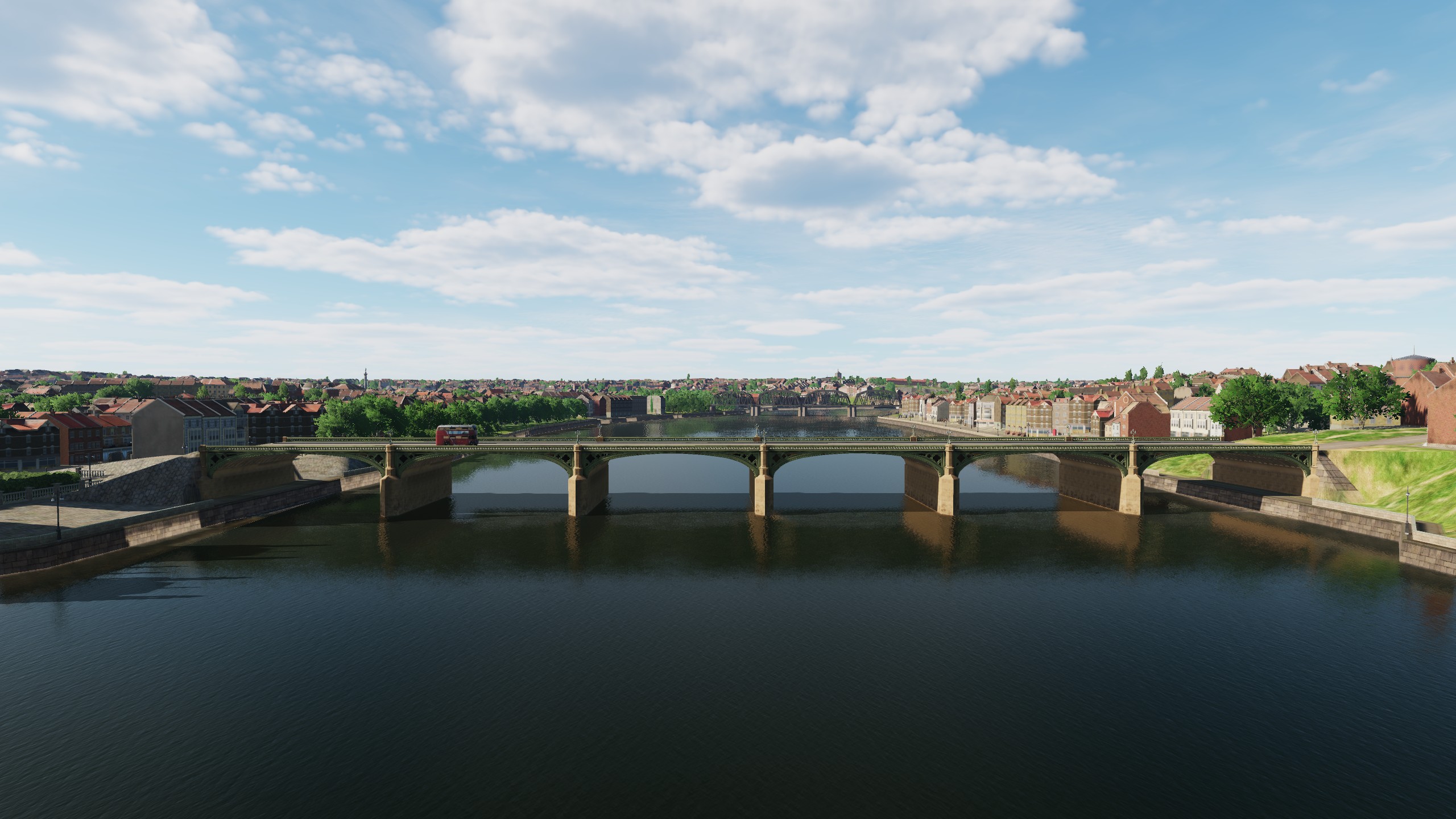
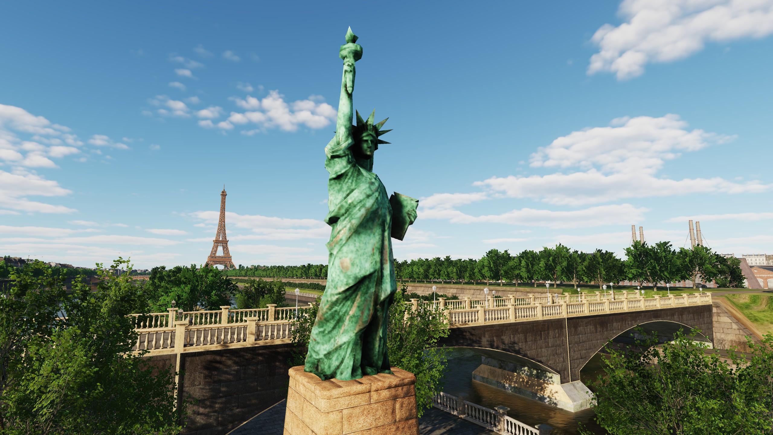
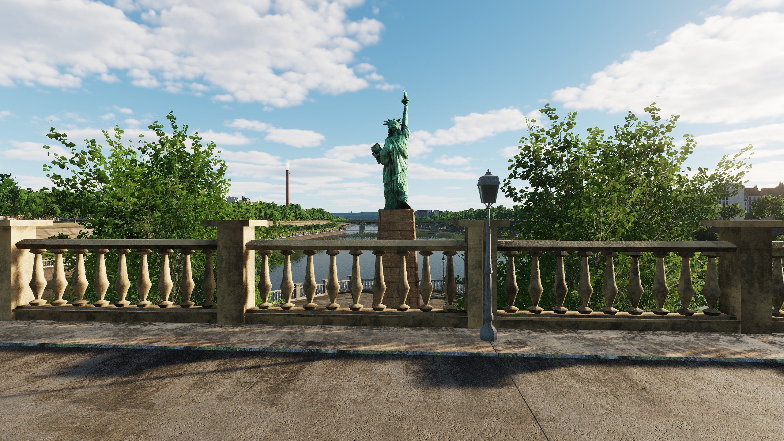
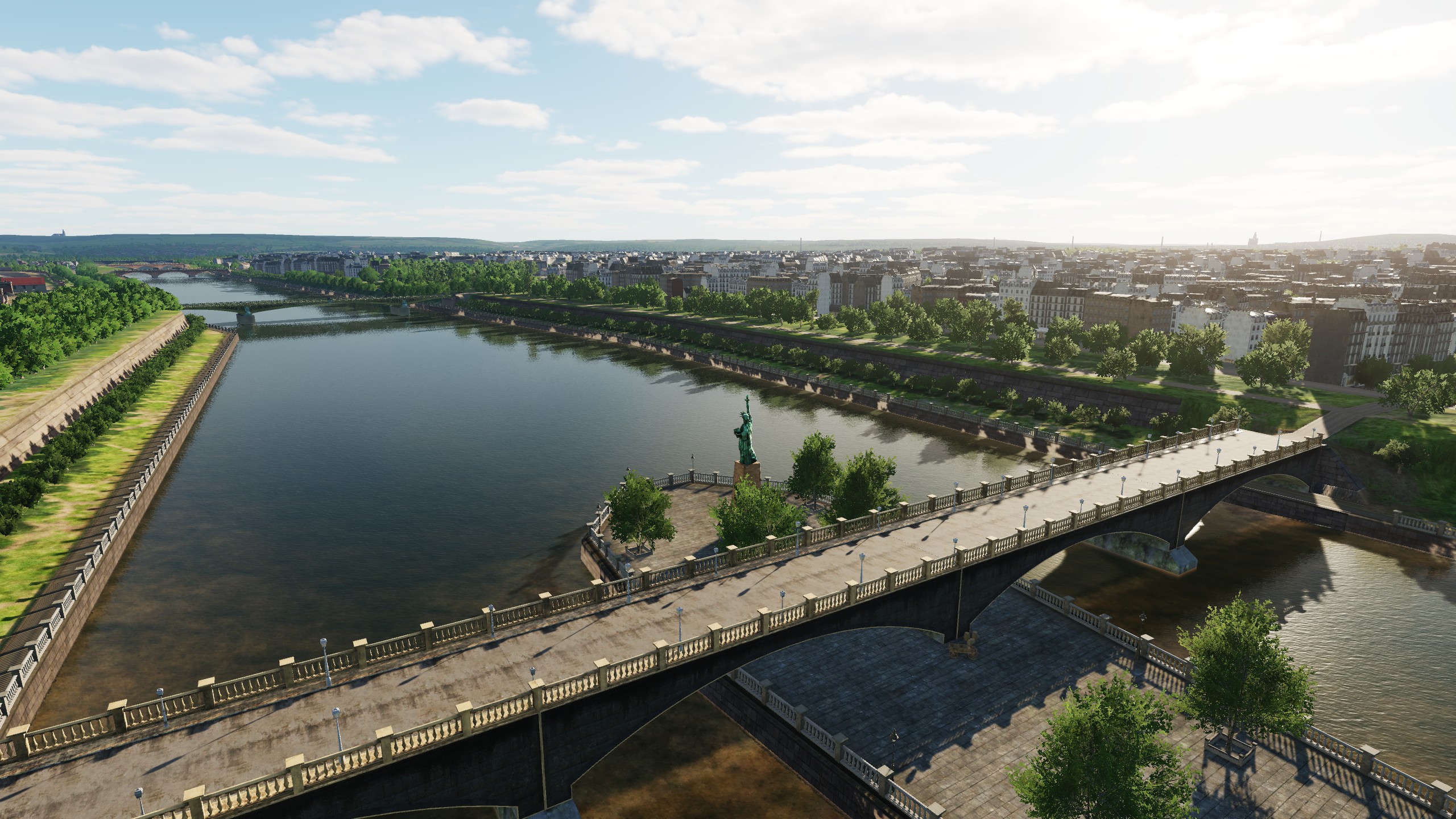
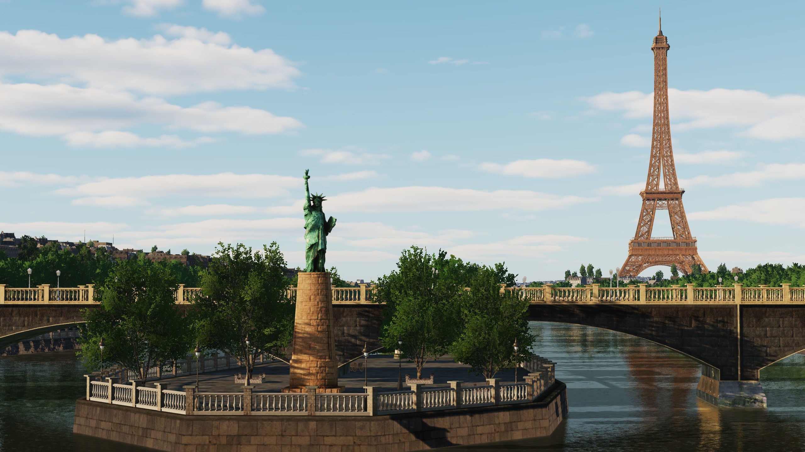
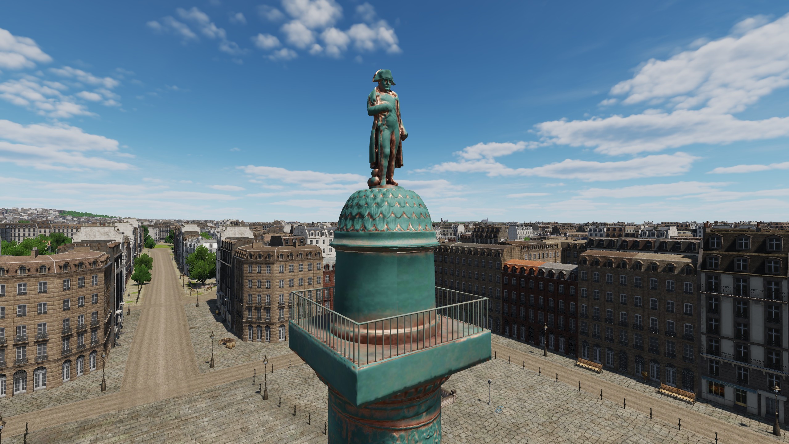
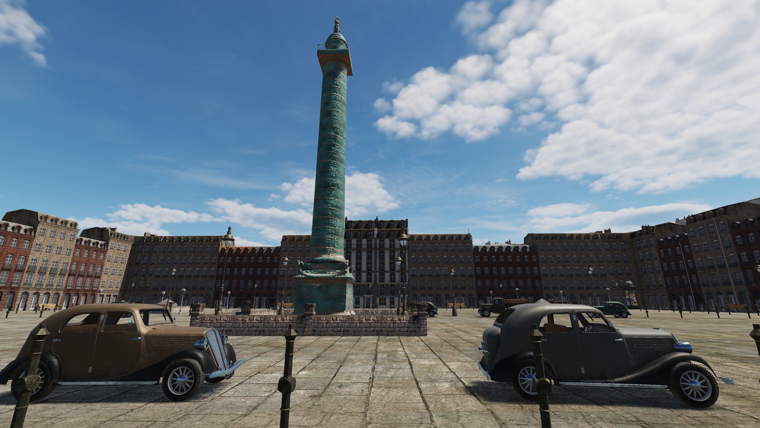
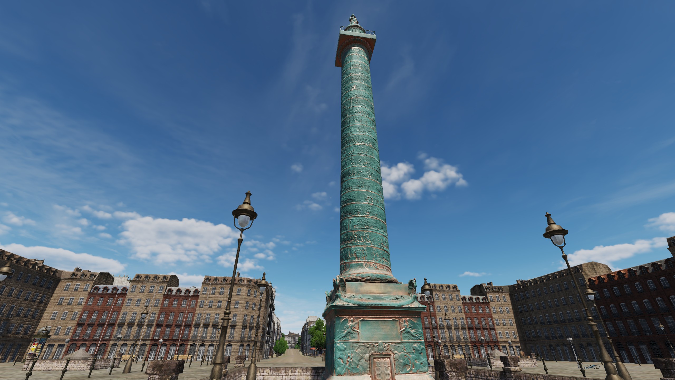
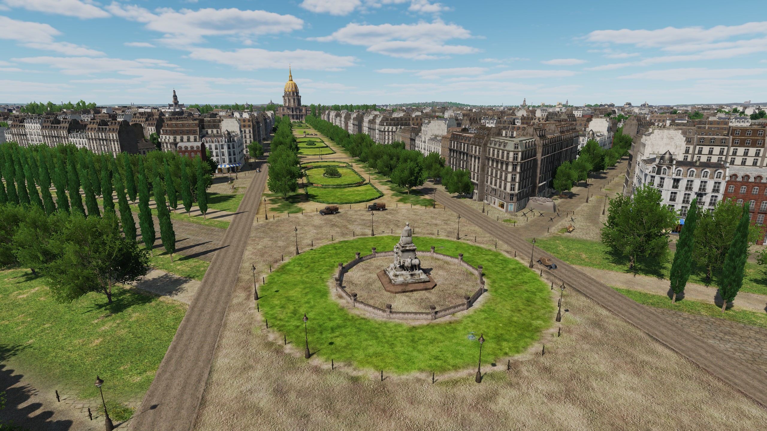
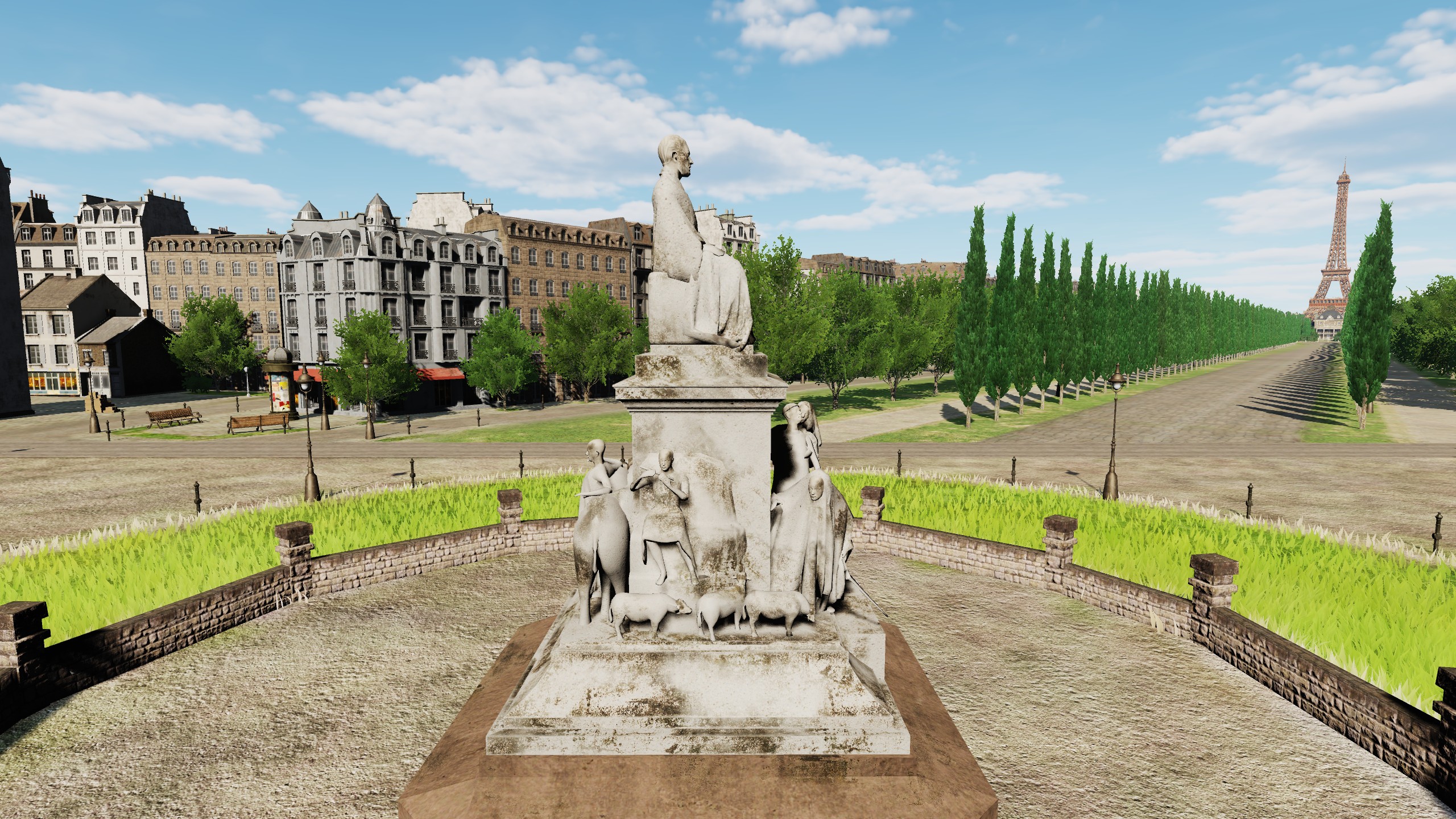
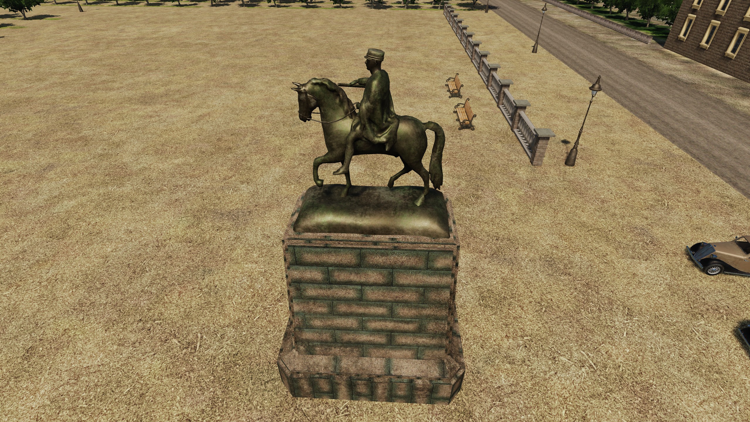
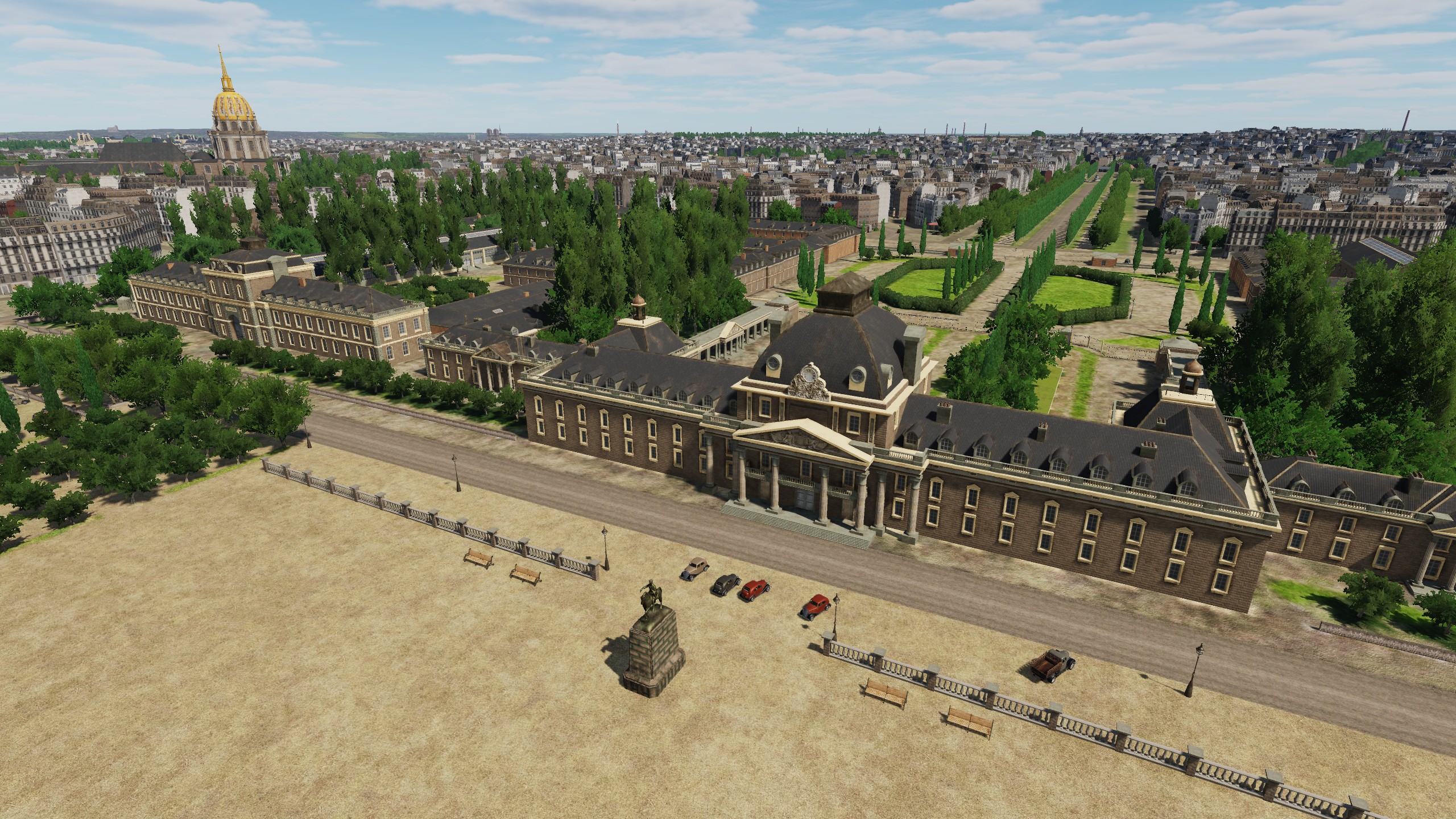
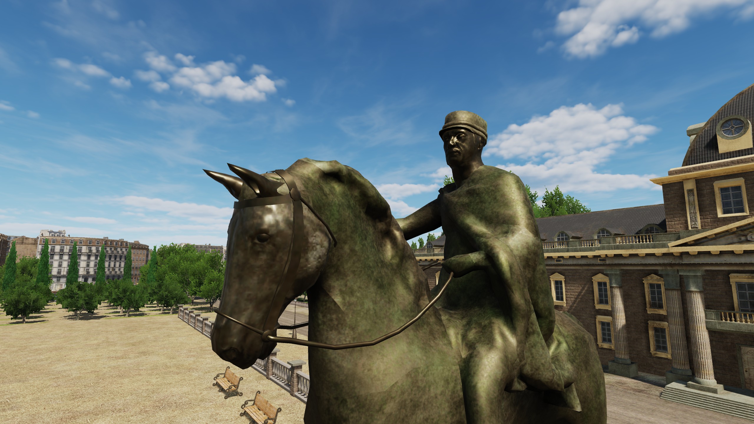
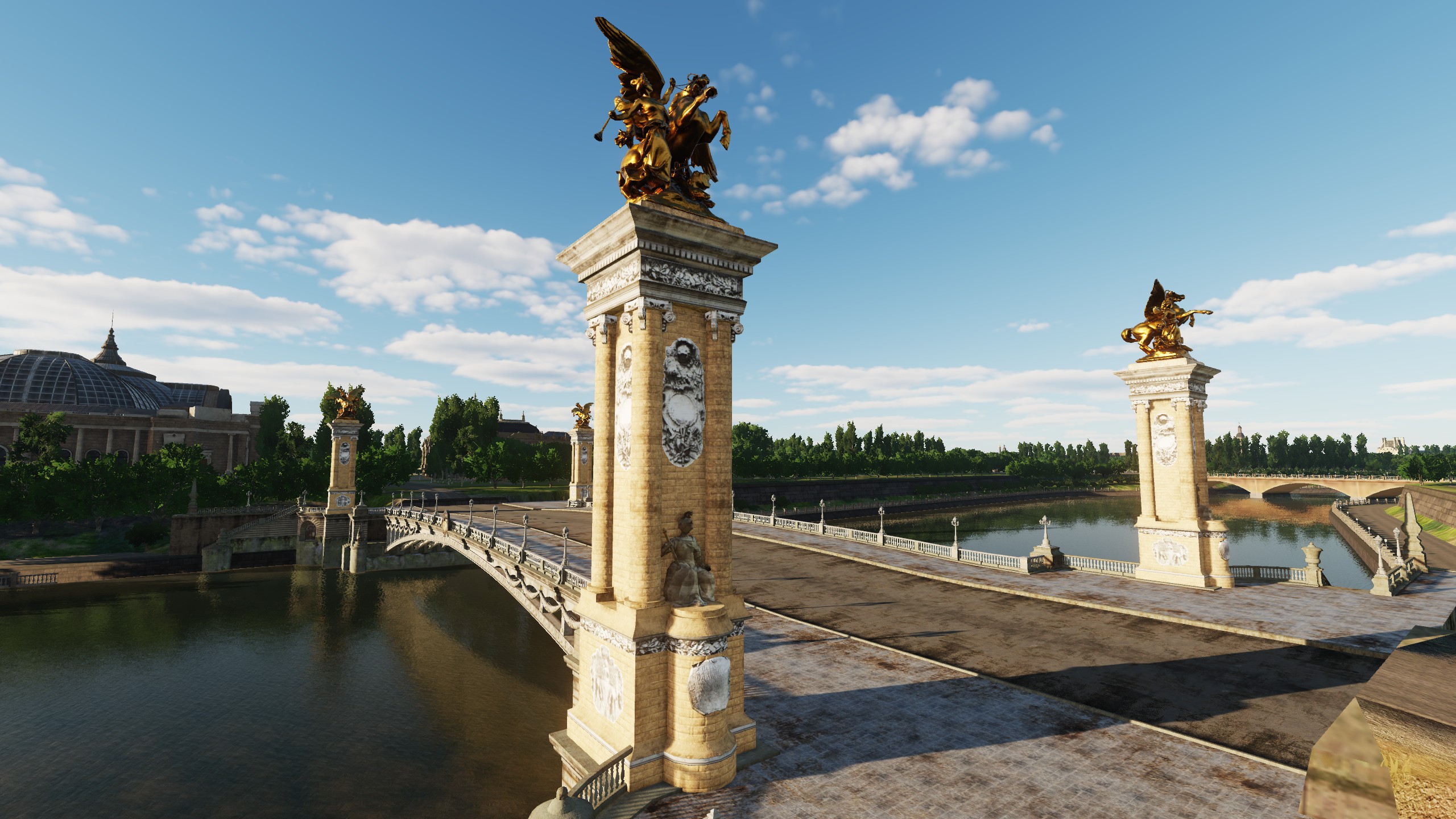
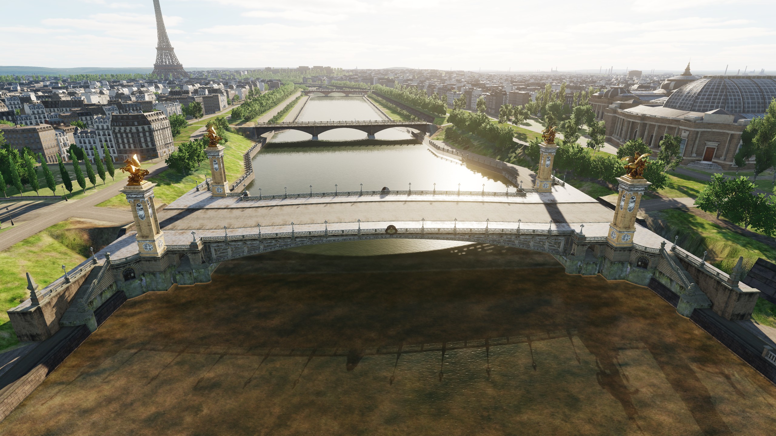
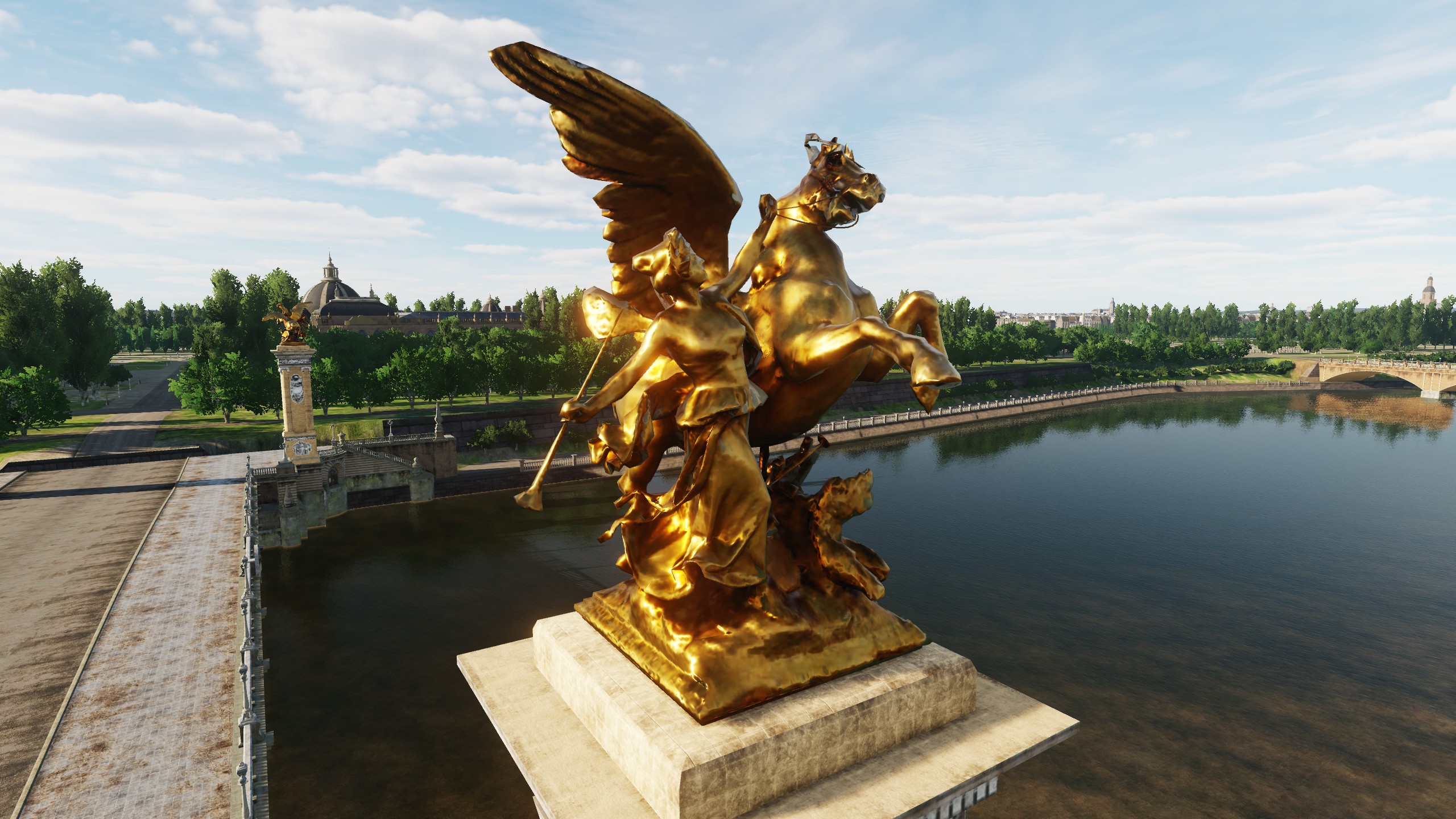
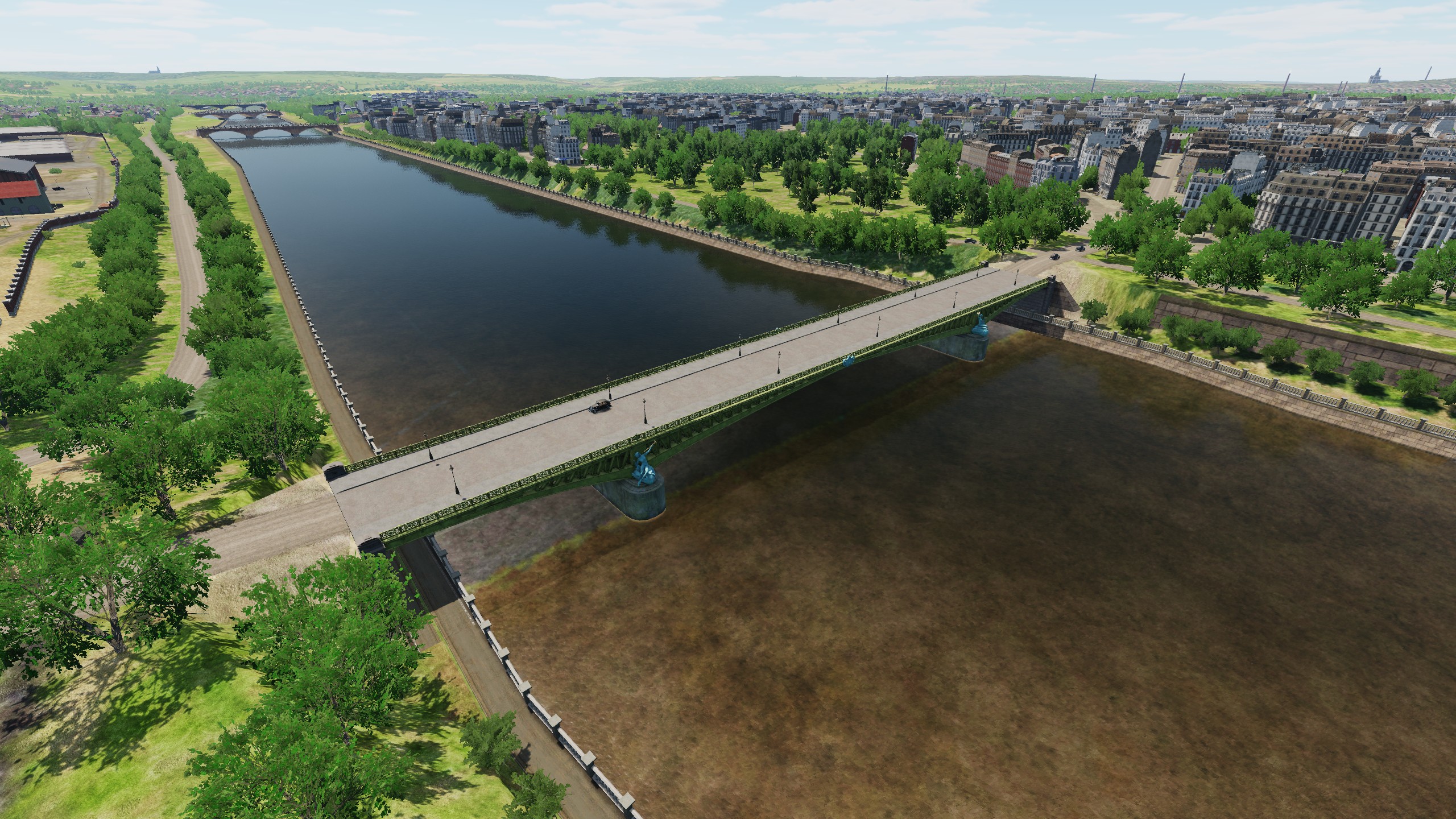
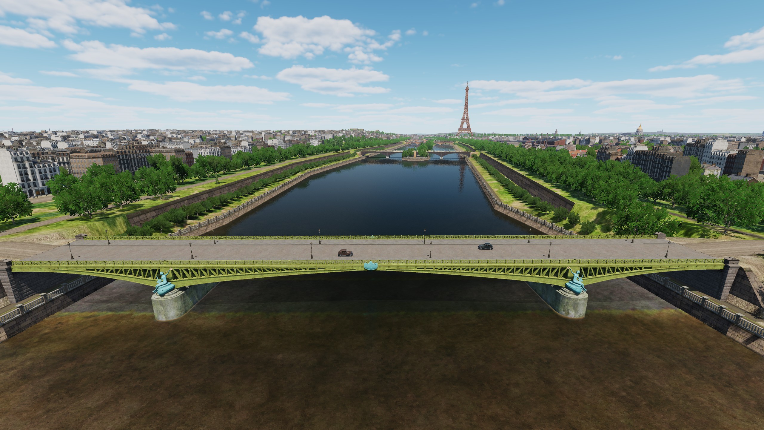
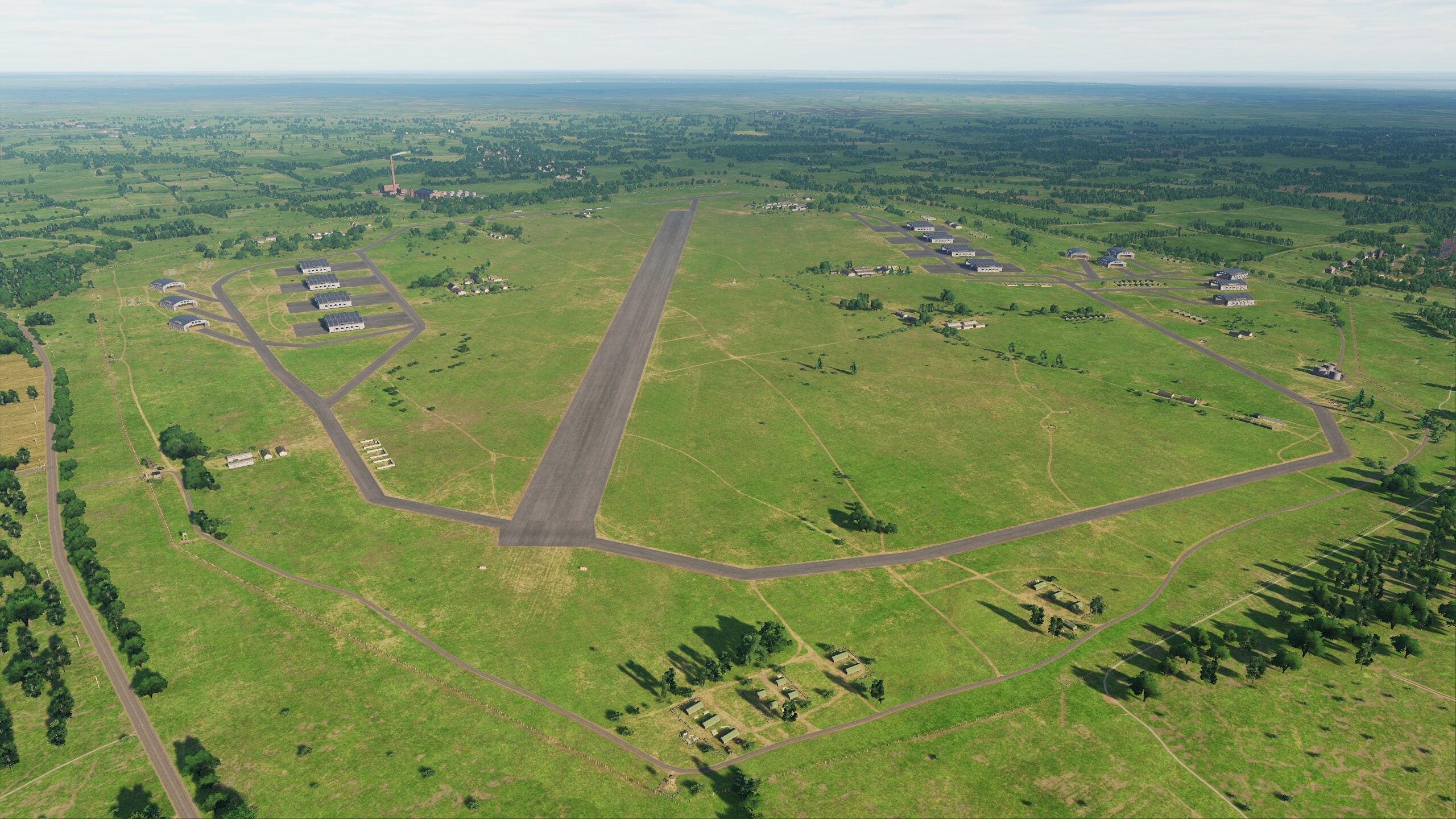
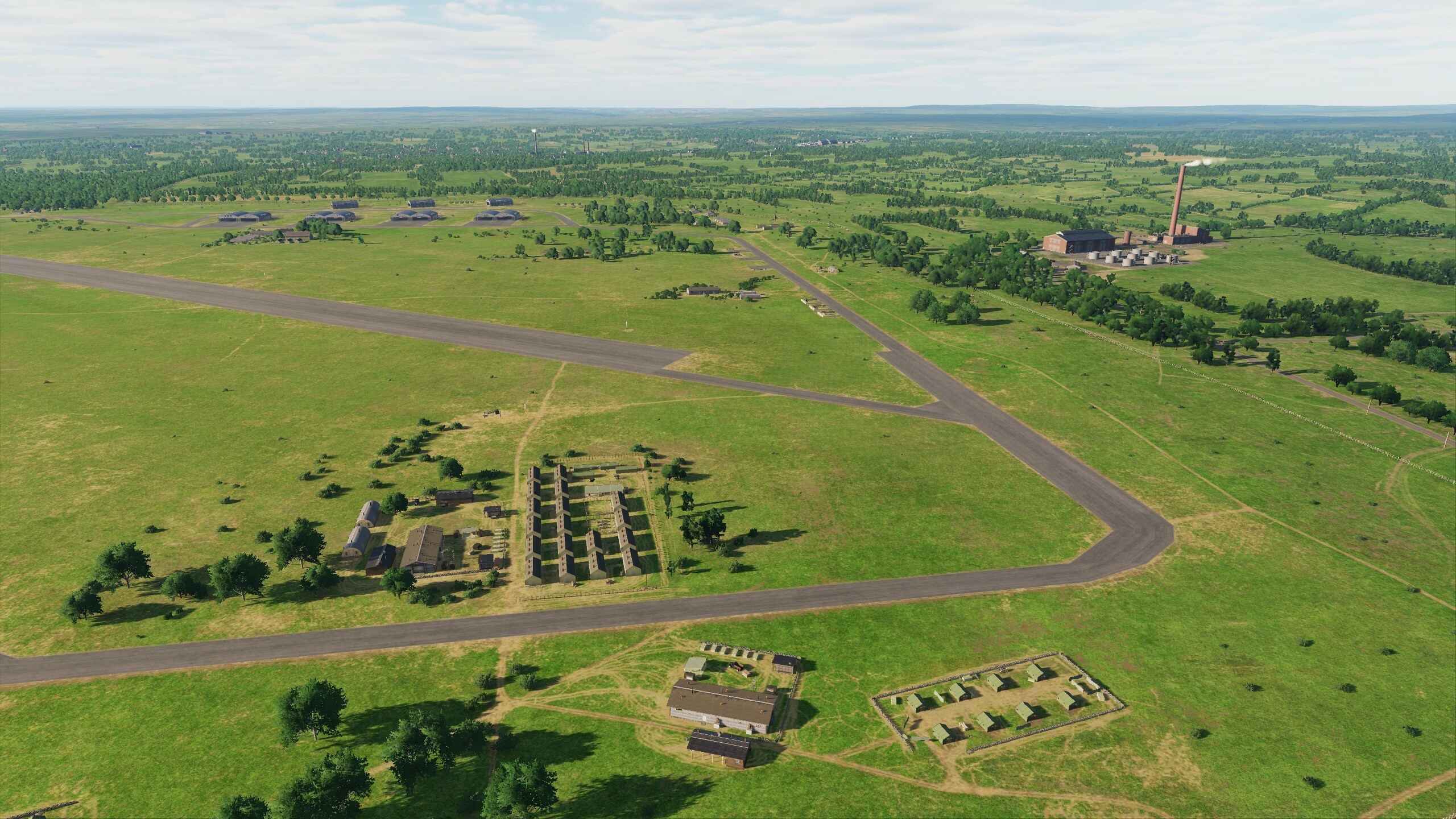
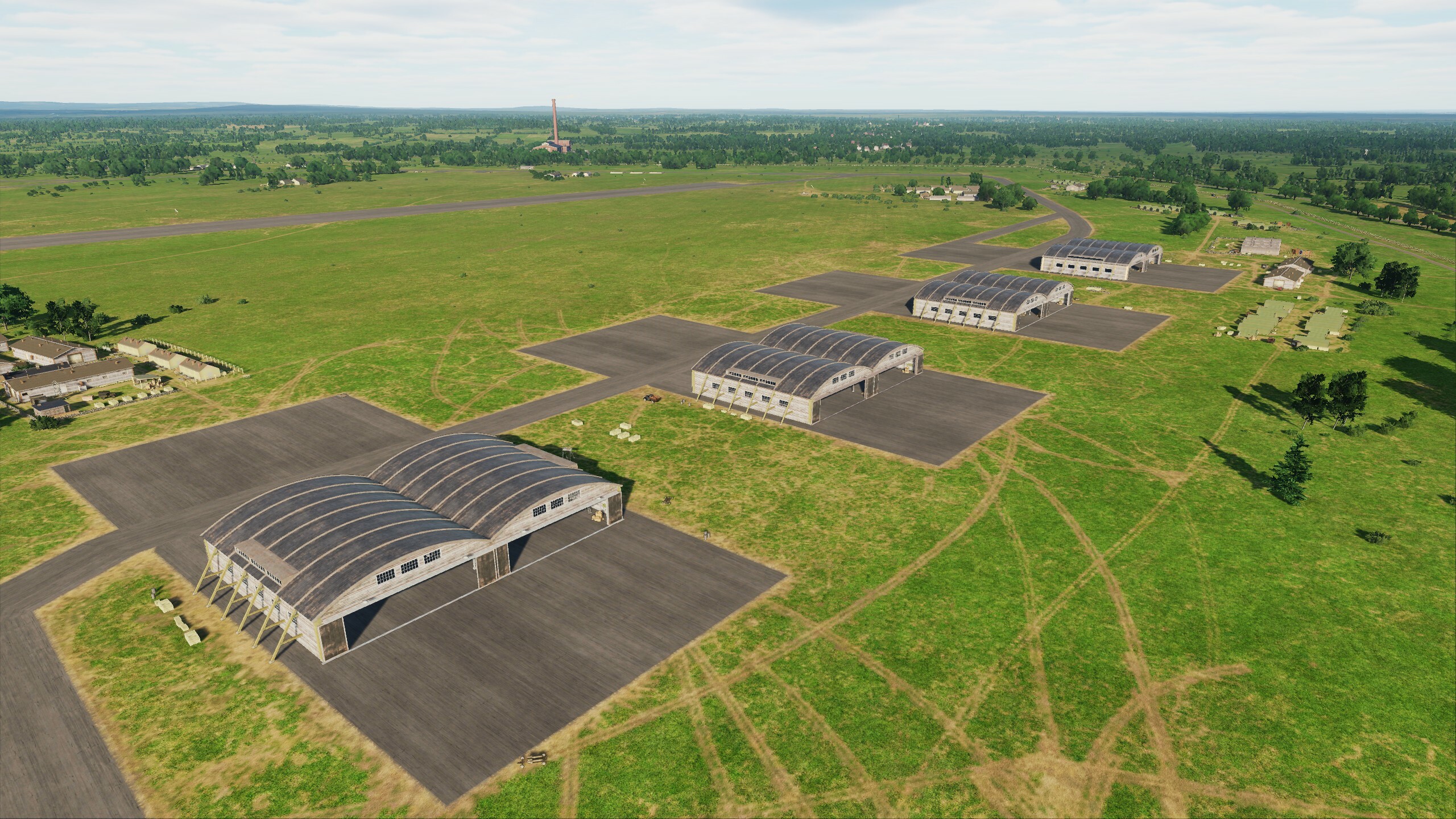
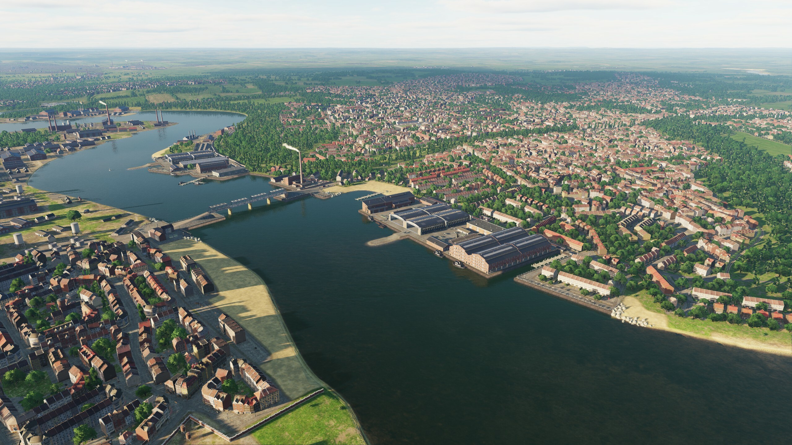
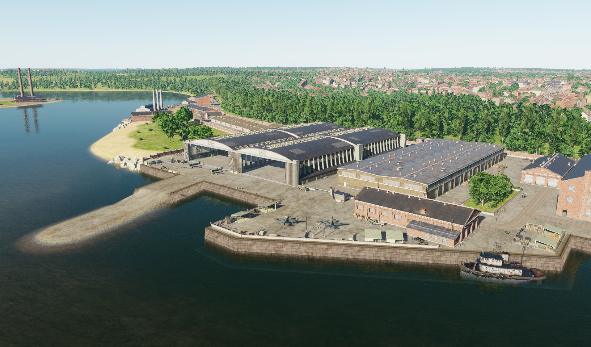
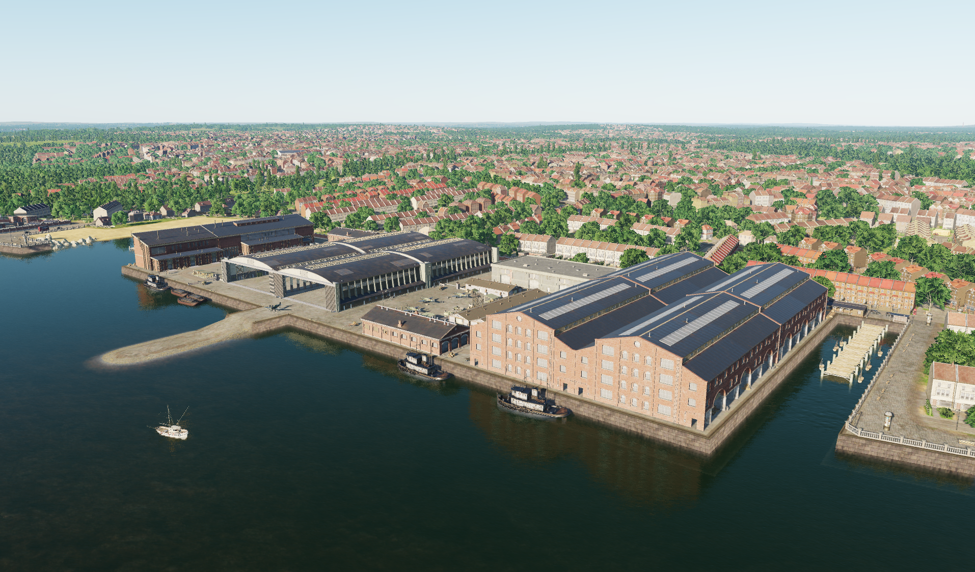
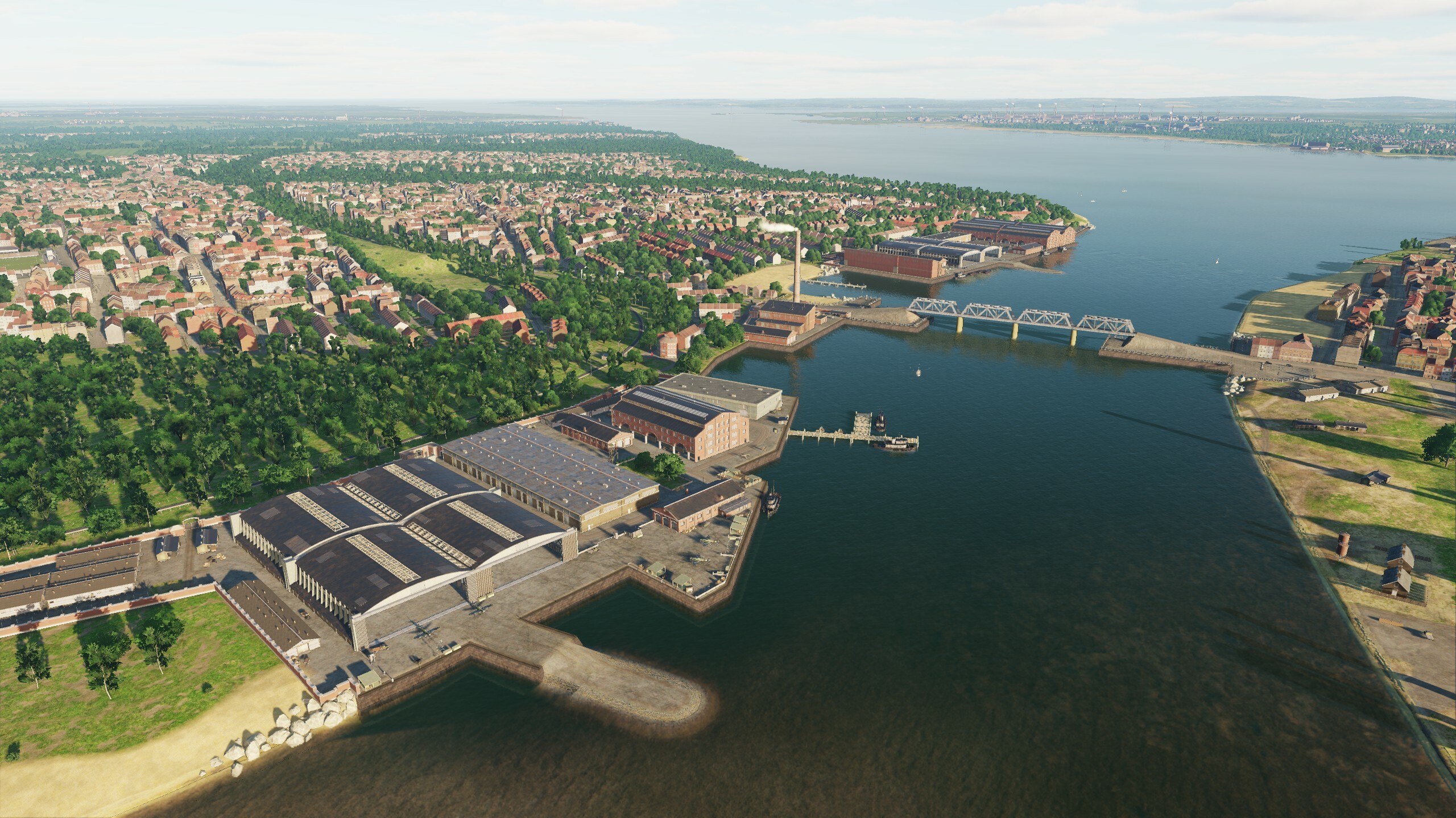
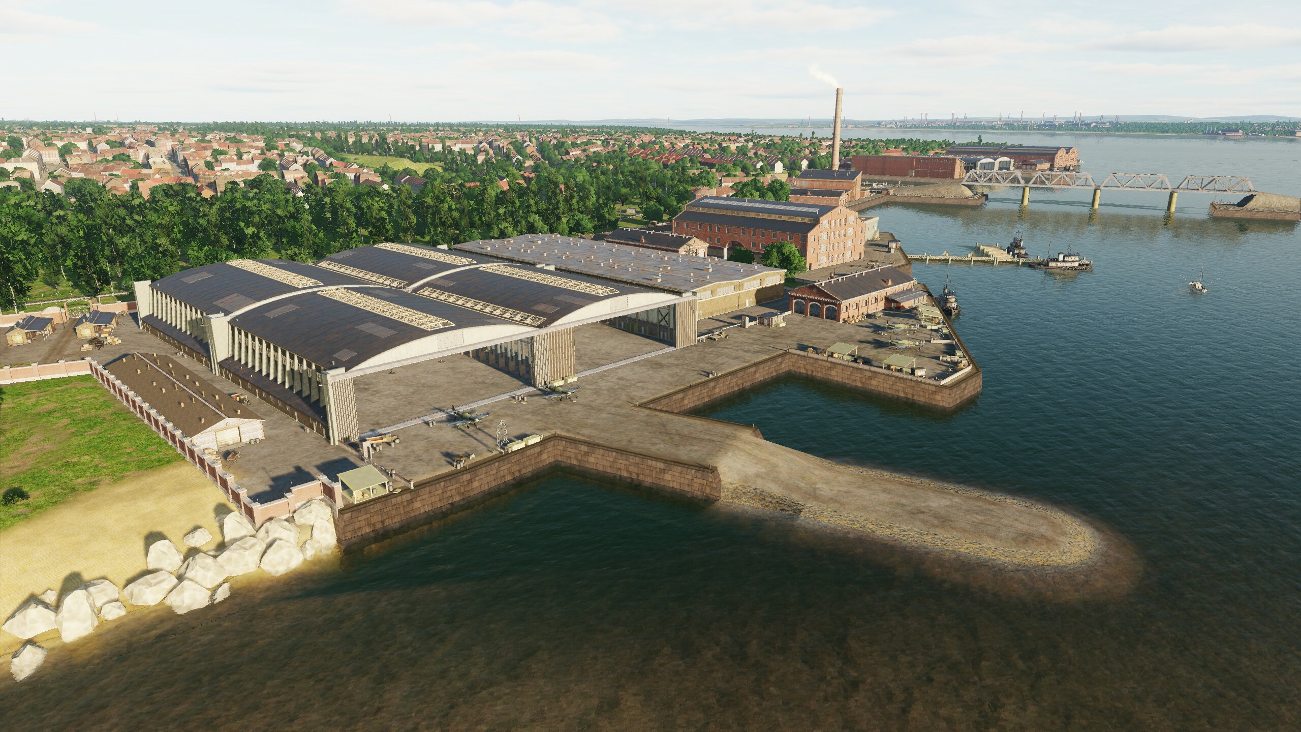
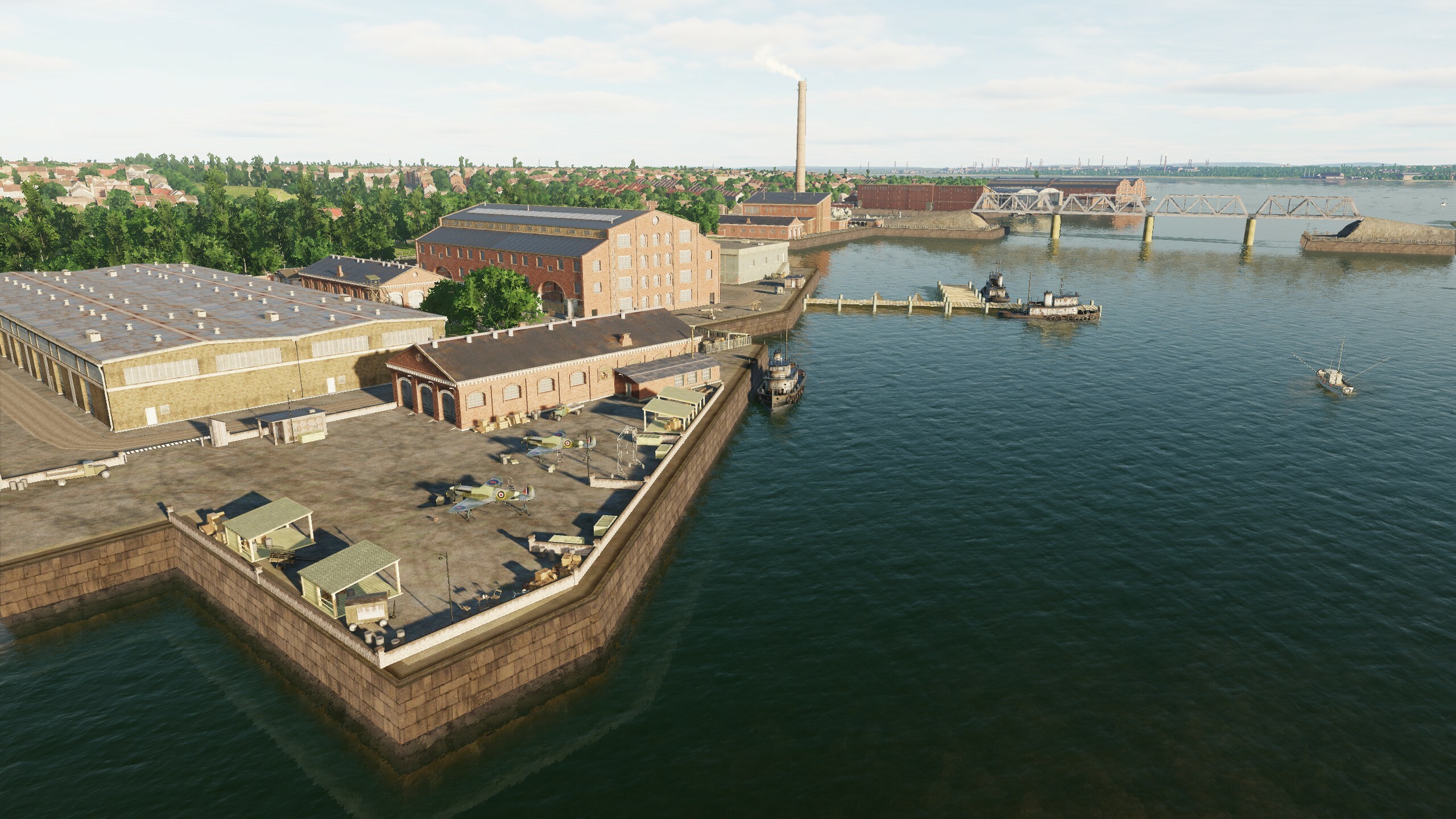
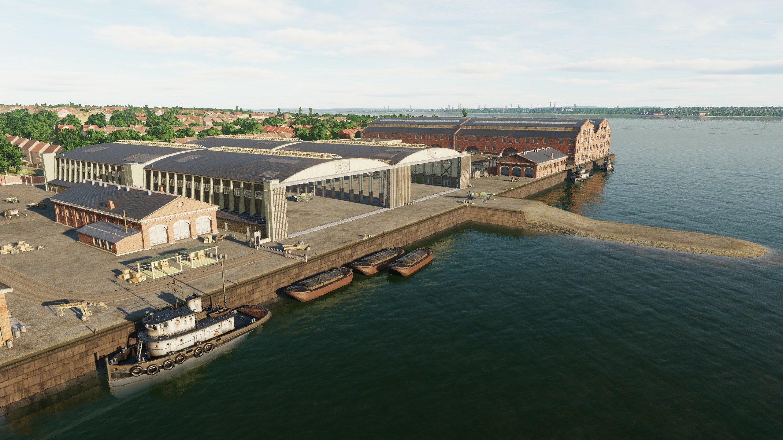
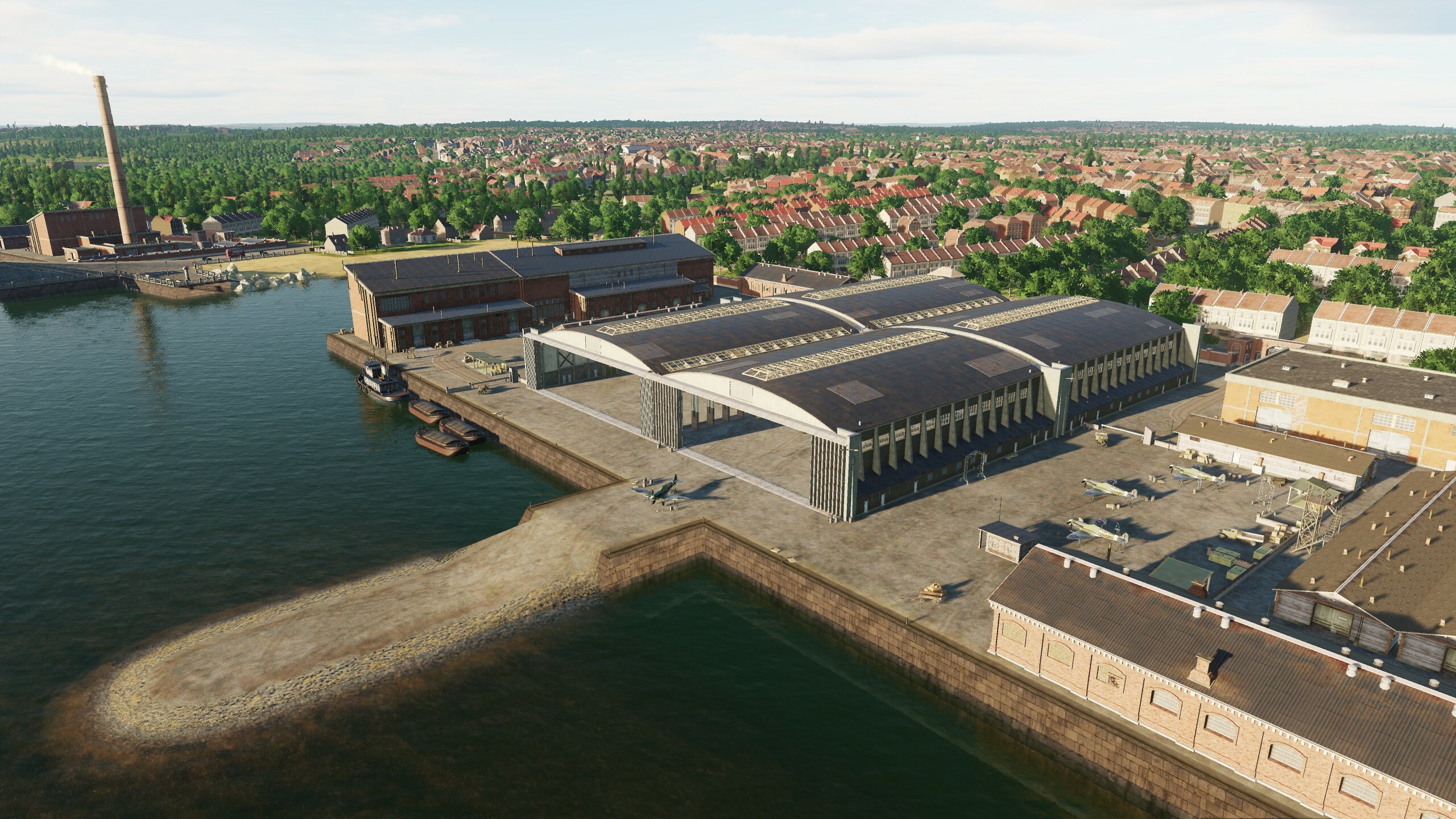
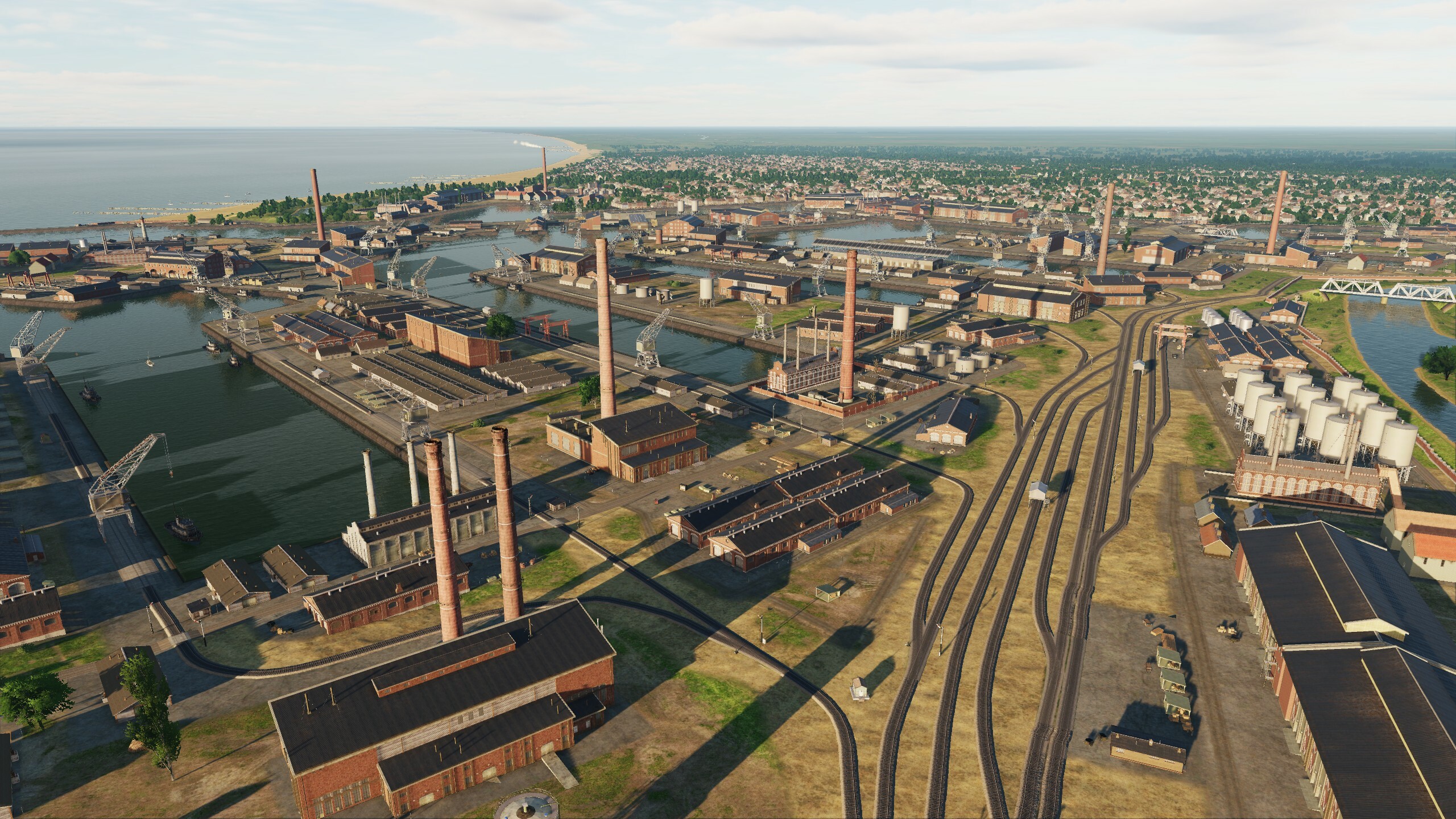
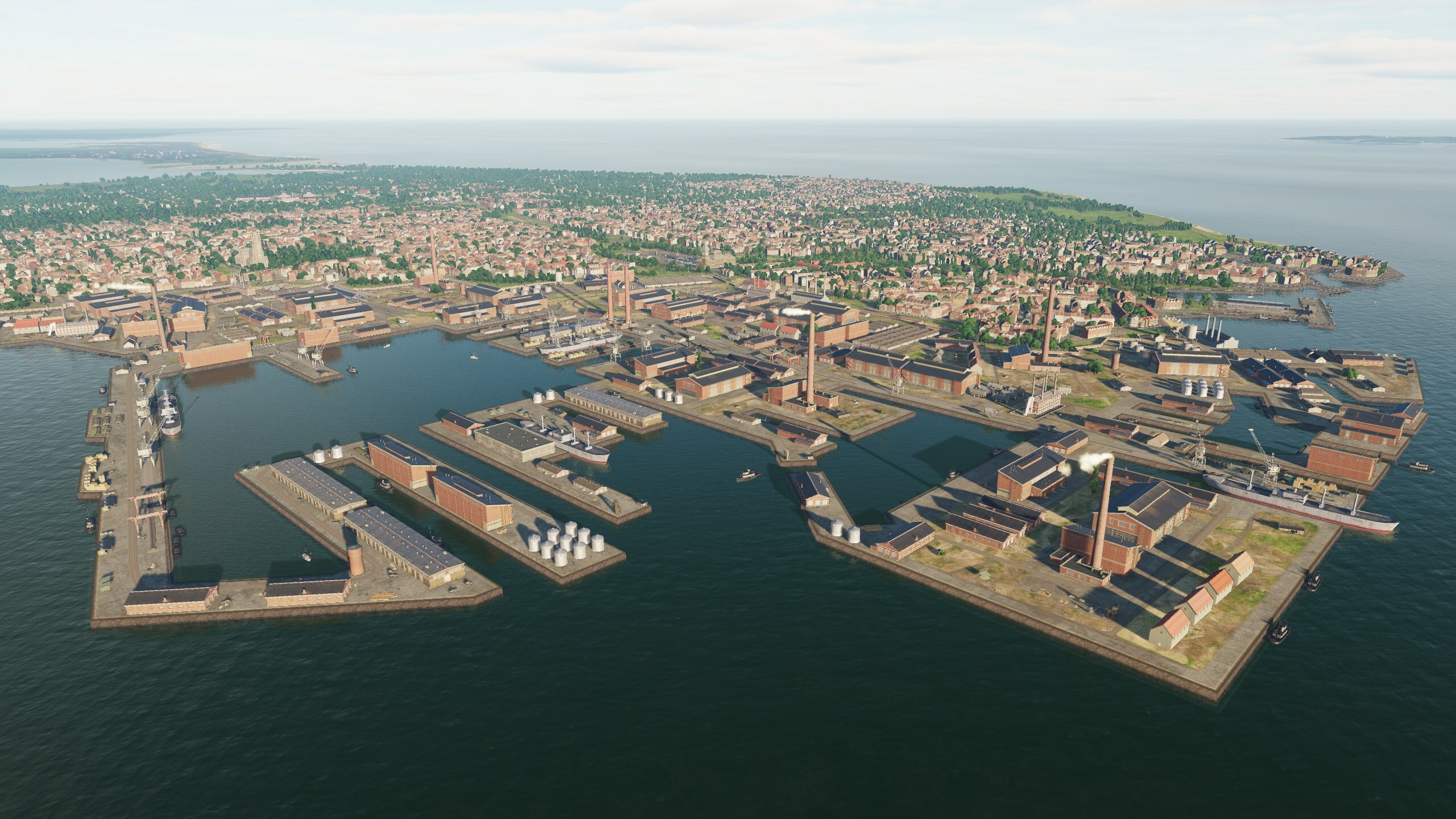
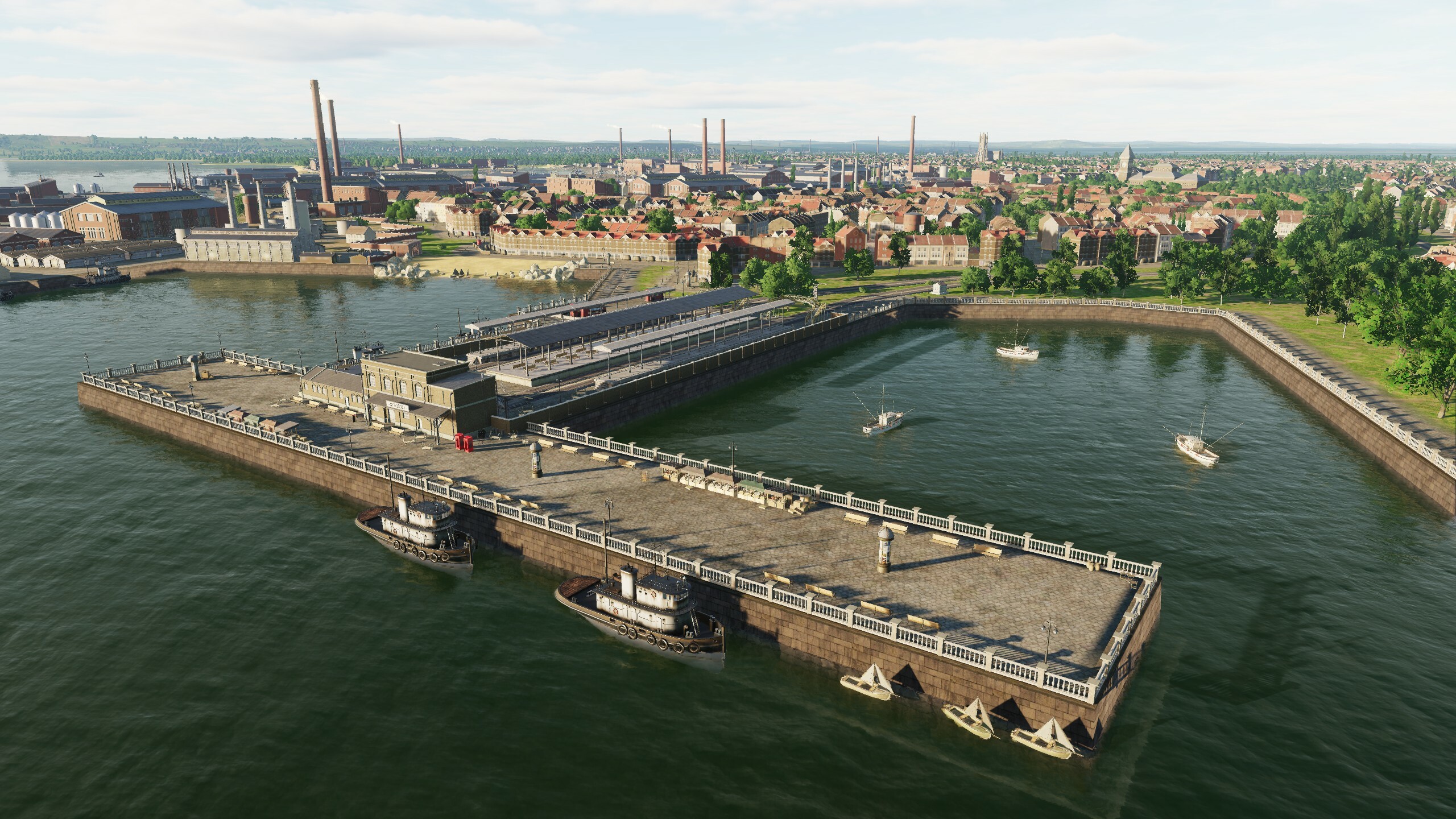
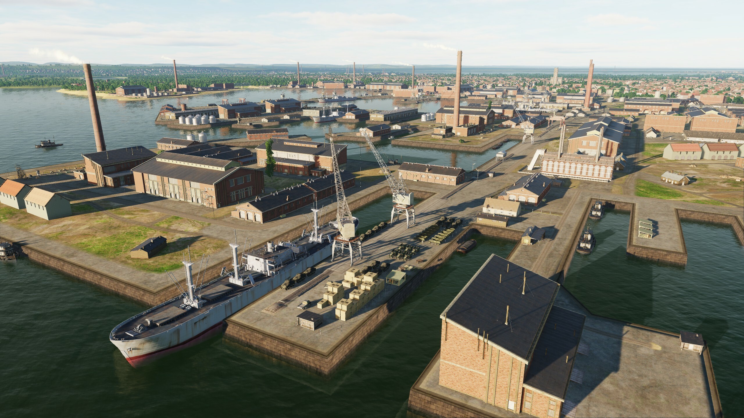
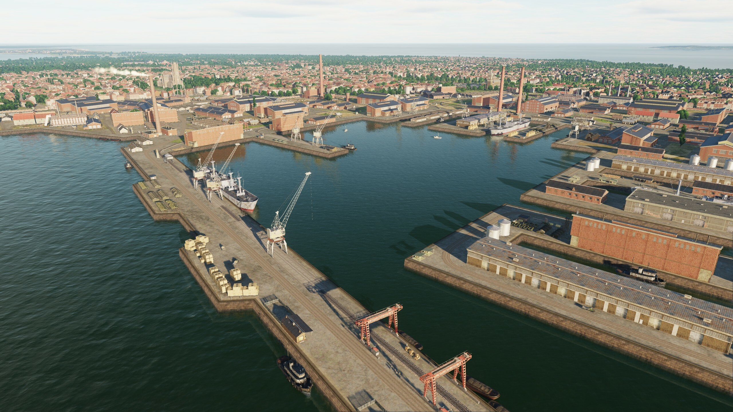
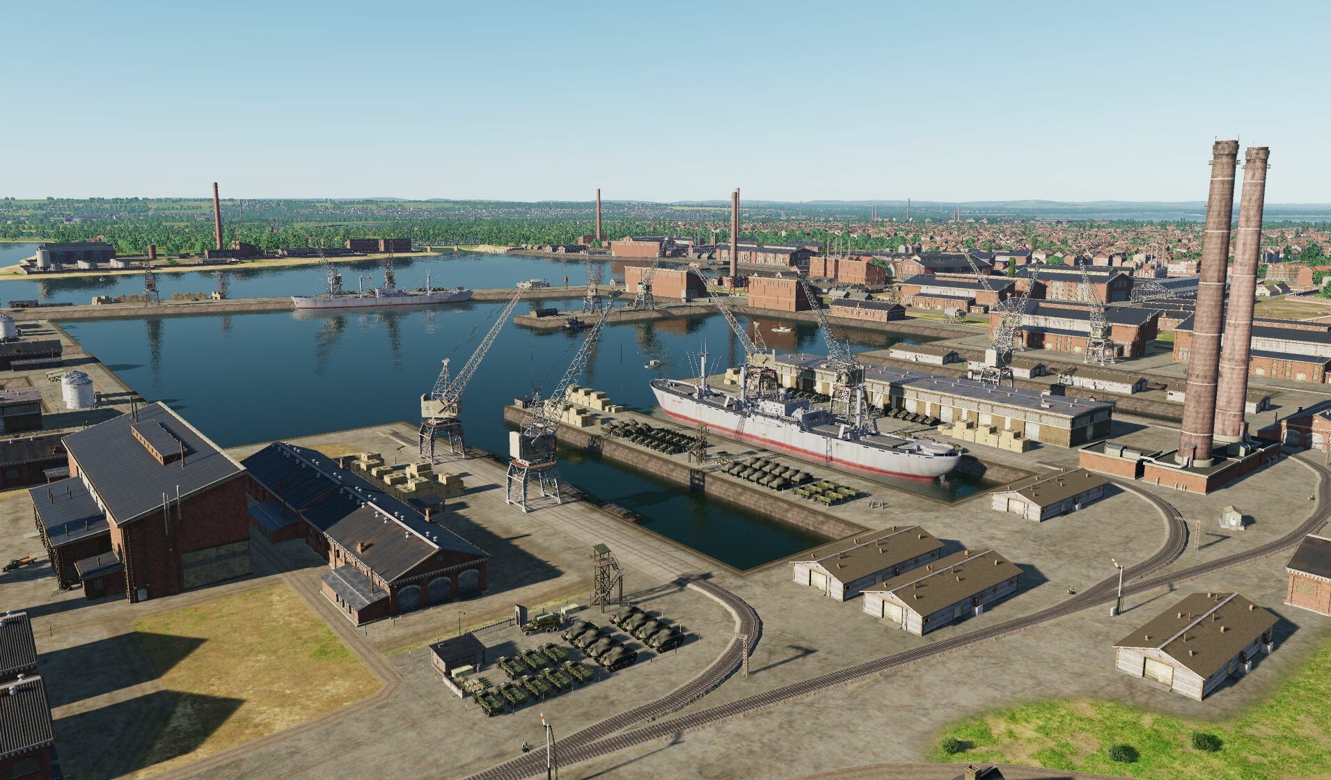
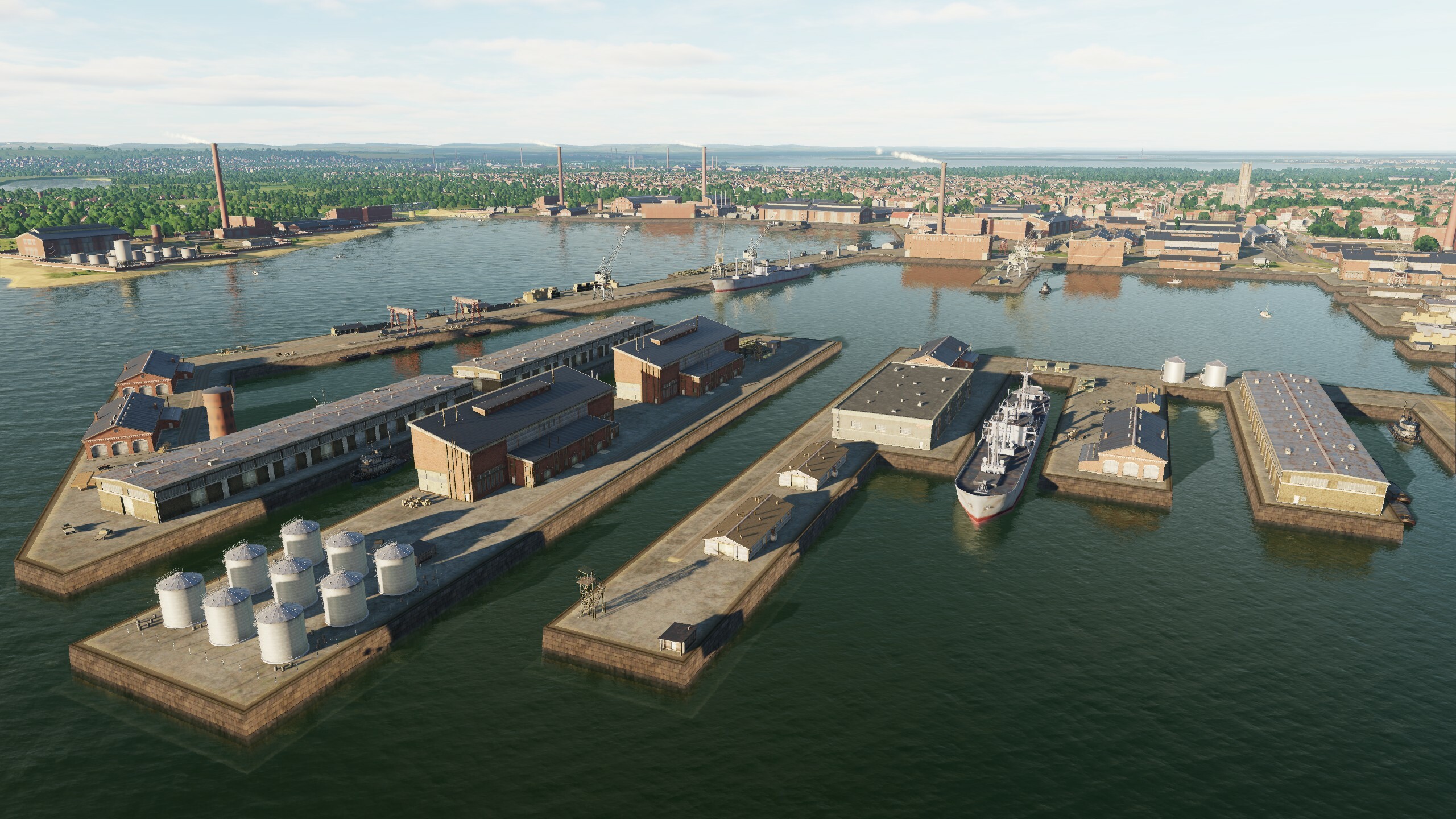
The upcoming enhancements to DCS: Normandy 2.0 includes the addition of new routes and objects as well as existing scene improvements. New additions include factories, the port of Le Trepor, fishing boats, underground tunnels in Paris, as well as new tram lines and wooden piers in London. Radar towers, ports and airfields are also being improved, while scenes and collisions too. The terrain and the lighting of objects has also seen impressive improvements. The changes aim to provide a better and more accurate experience. Stay tuned for the next Open Beta update.
MAESTR0 - 3rd Party Developers ha scritto:
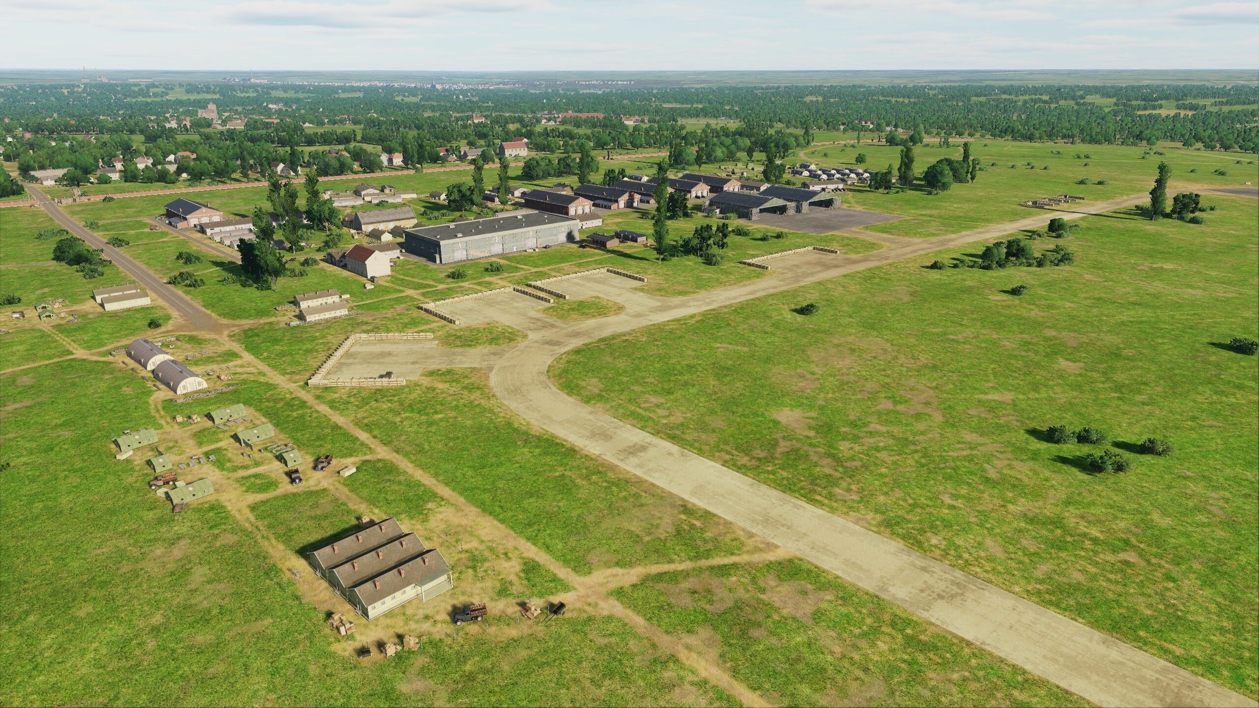
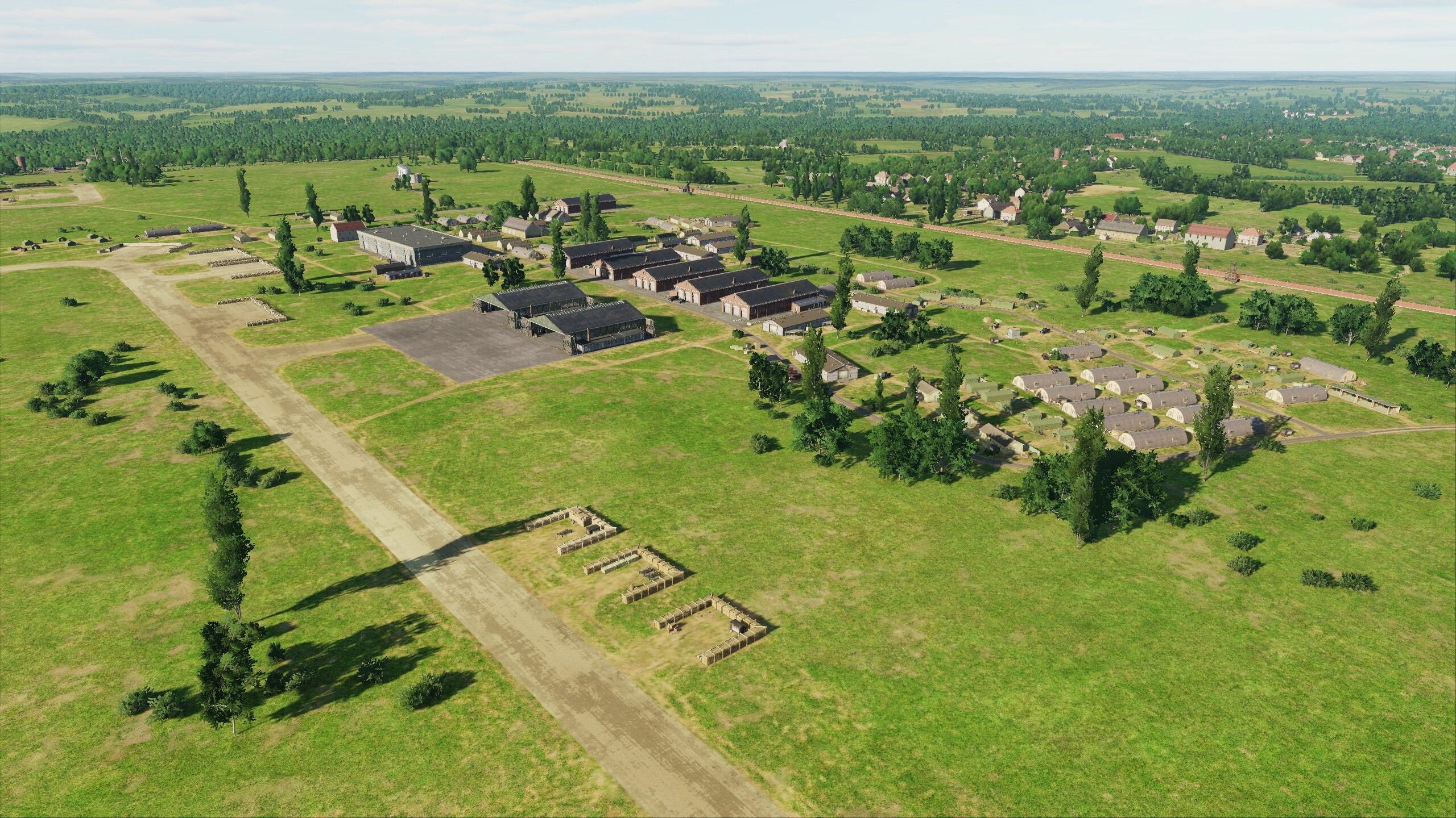
Normandy 2.0 Development Report
Since the launch of DCS: Normandy 2.0, Urgra Media has gathered feedback and in the next Open Beta update, you too can enjoy a wealth of new additions.
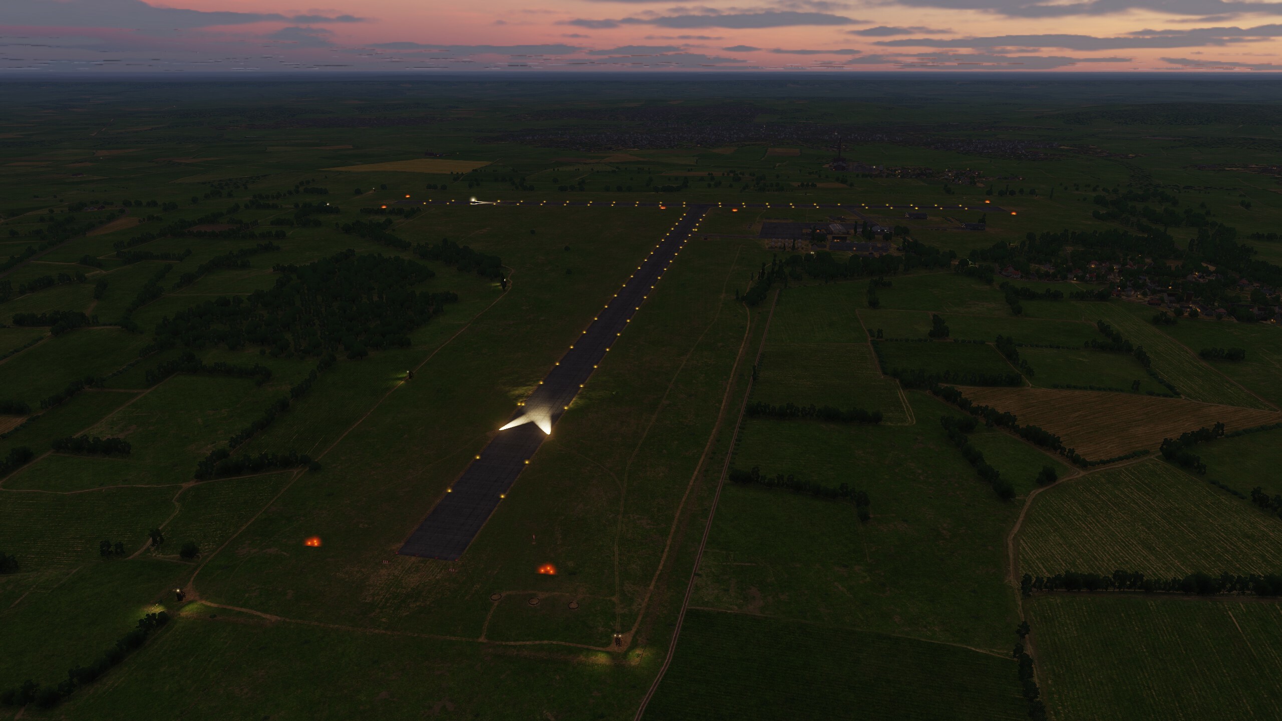
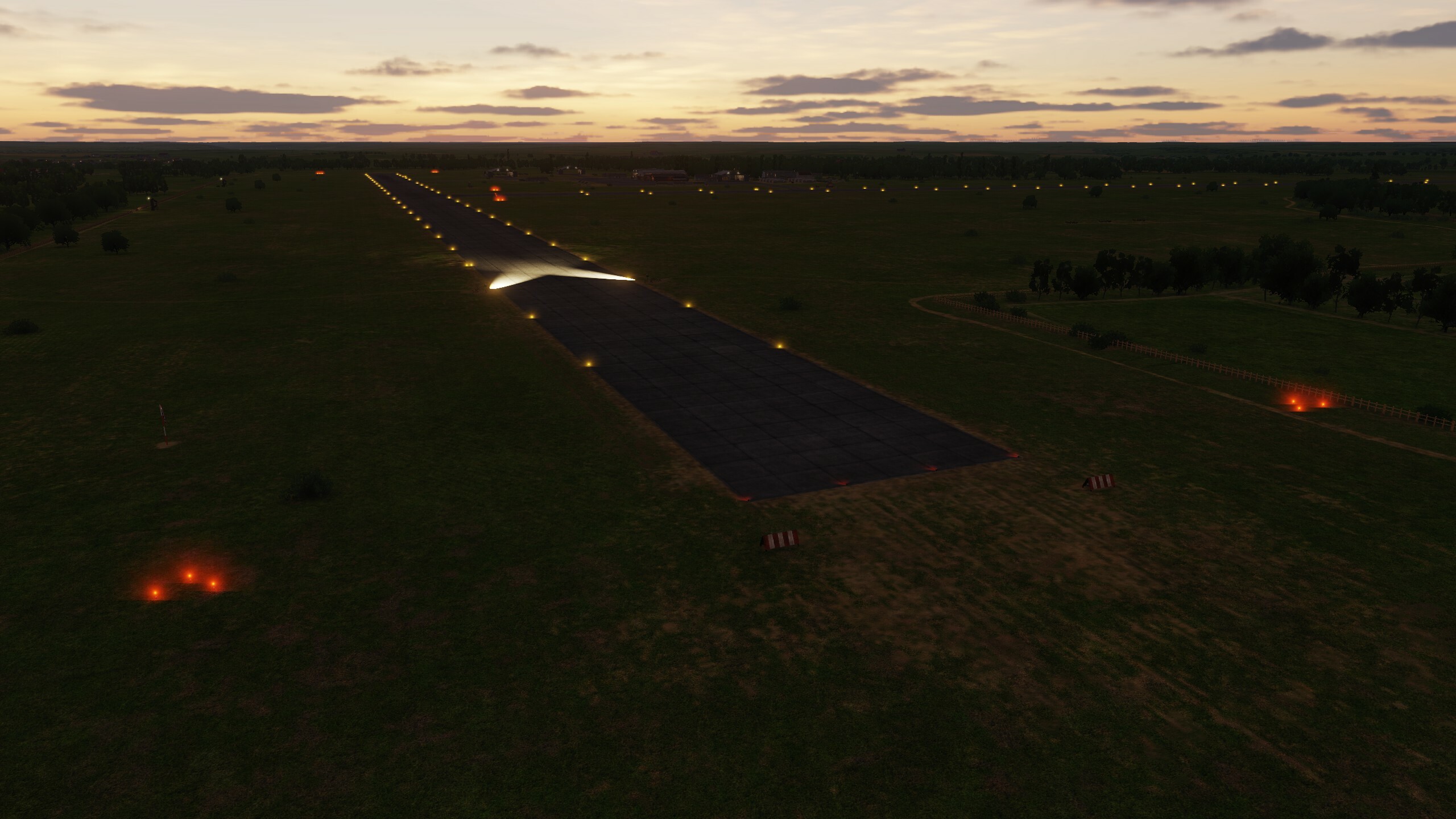
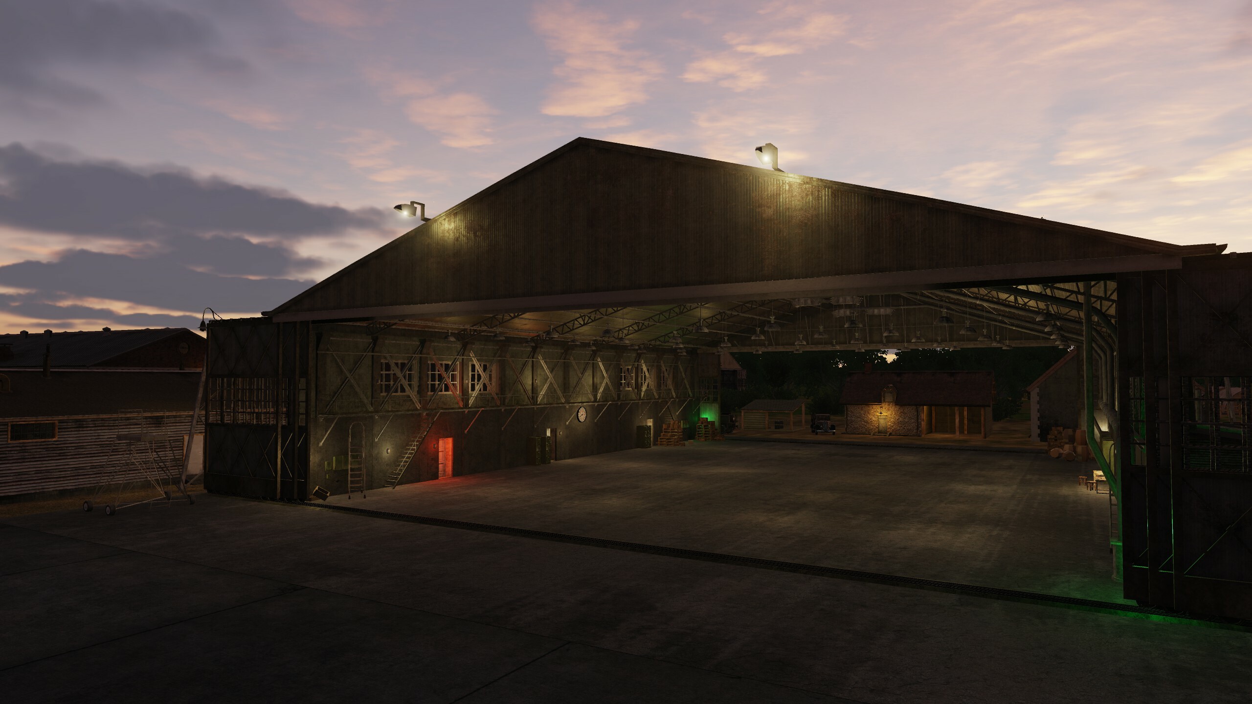
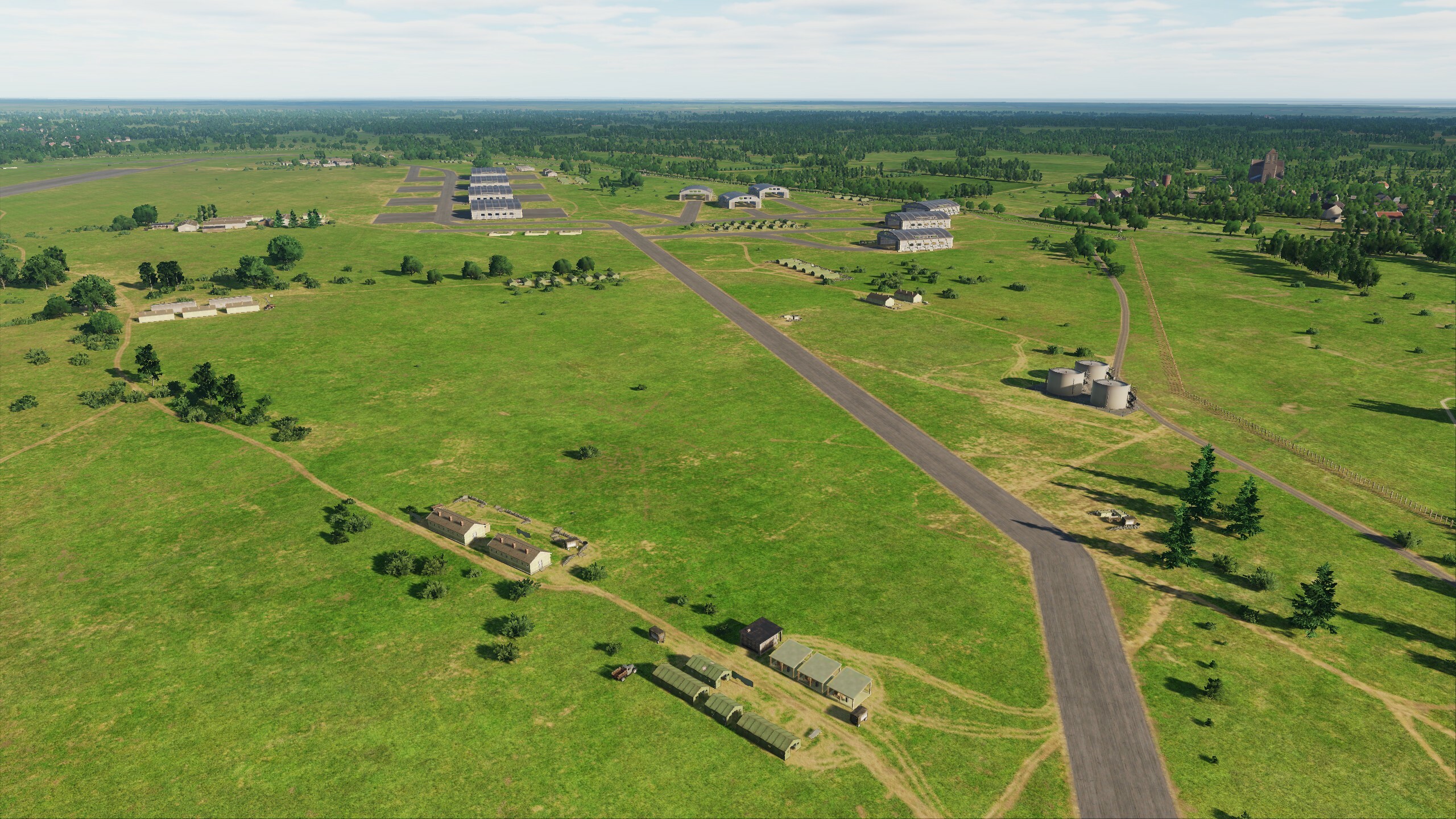
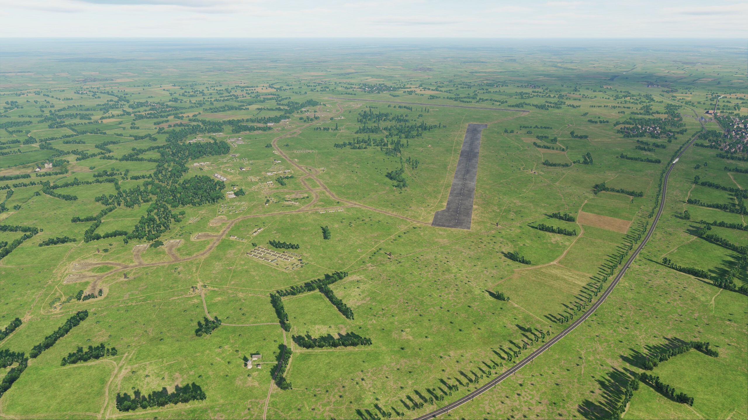
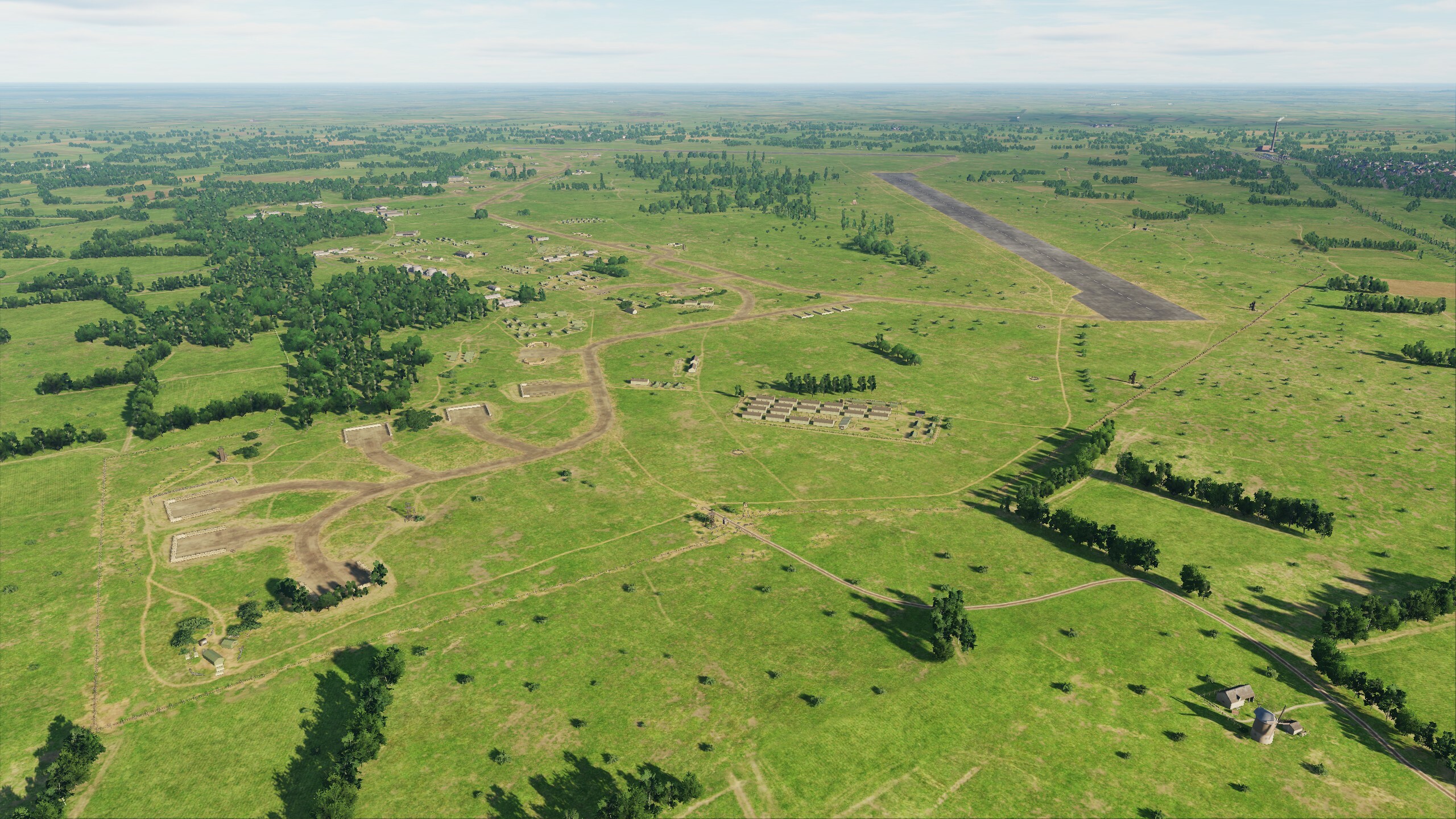
In June, we are planning a small update that includes improvements and fixes to airfields, objects, scenes and terrain, model optimization and much more. Let's look at the list and screenshots:
Updated list of changes:
- Added scene of Spitfires factories in Hampshire.
- Added scene with flags and warehouses from machinery at Heathrow Airfield.
- Added the port of Le Trepor.
- Added two fishing boats.
- Added fishing boat routes.
- Added underground tunnels in Paris.
- Added new tram routes in London.
- Added wooden piers.
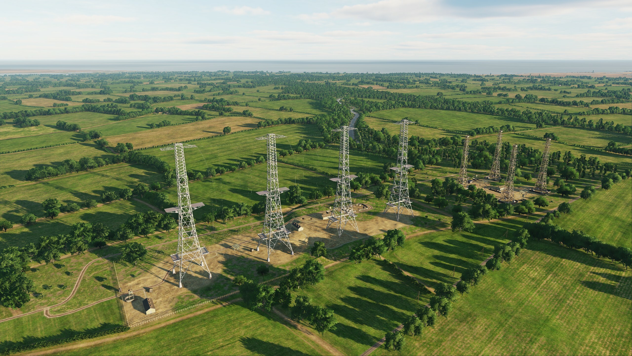
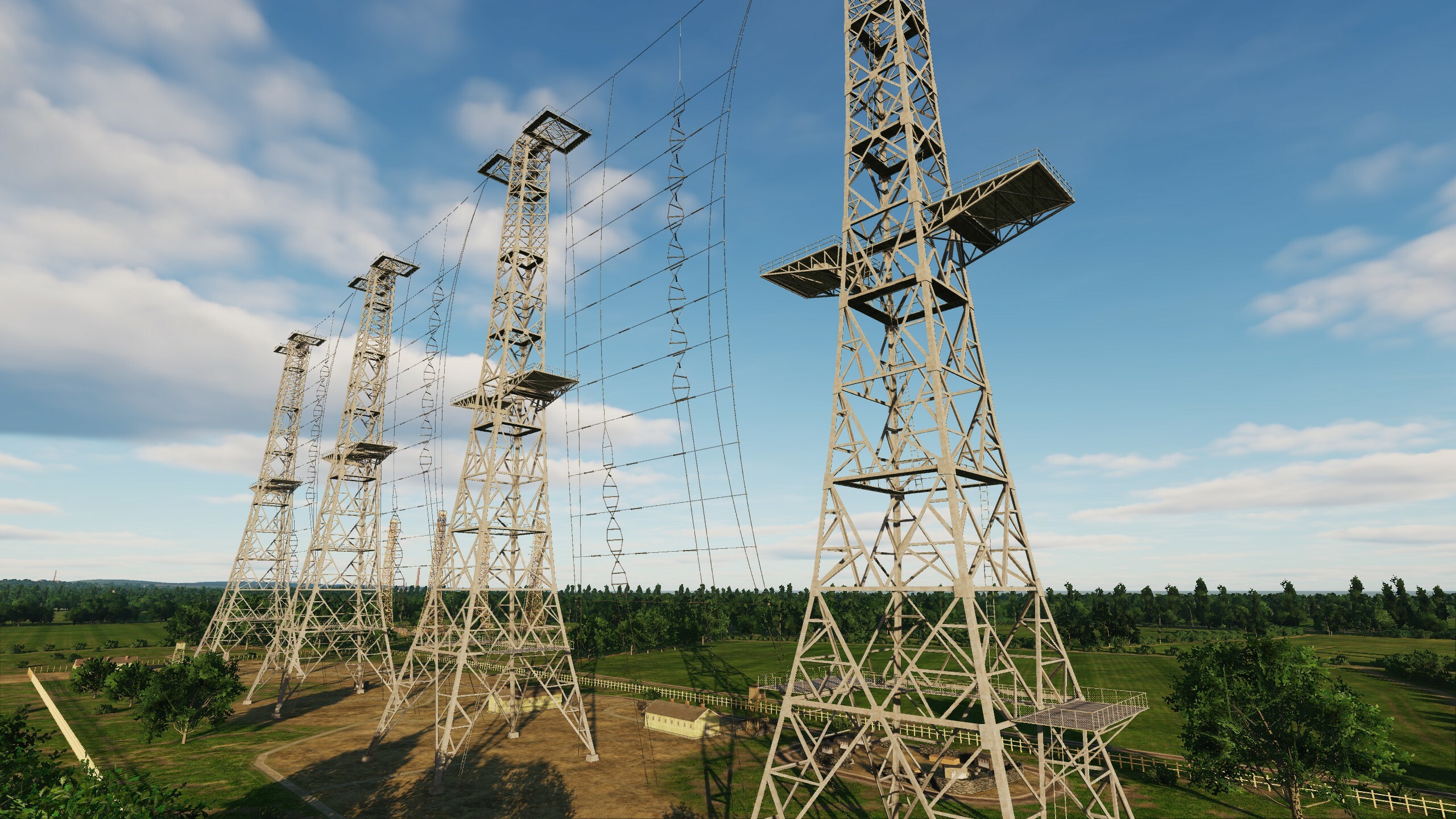
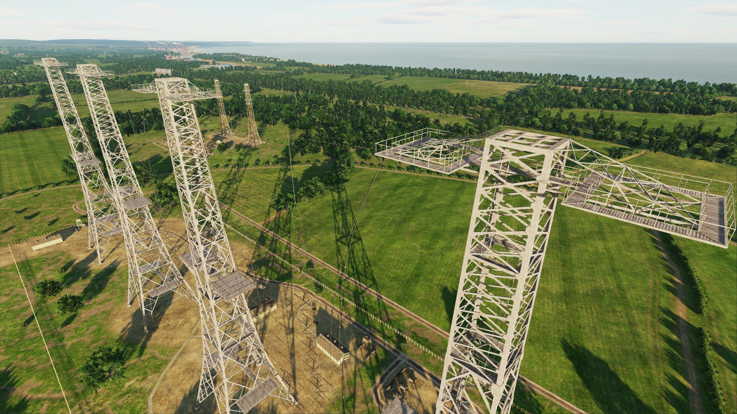
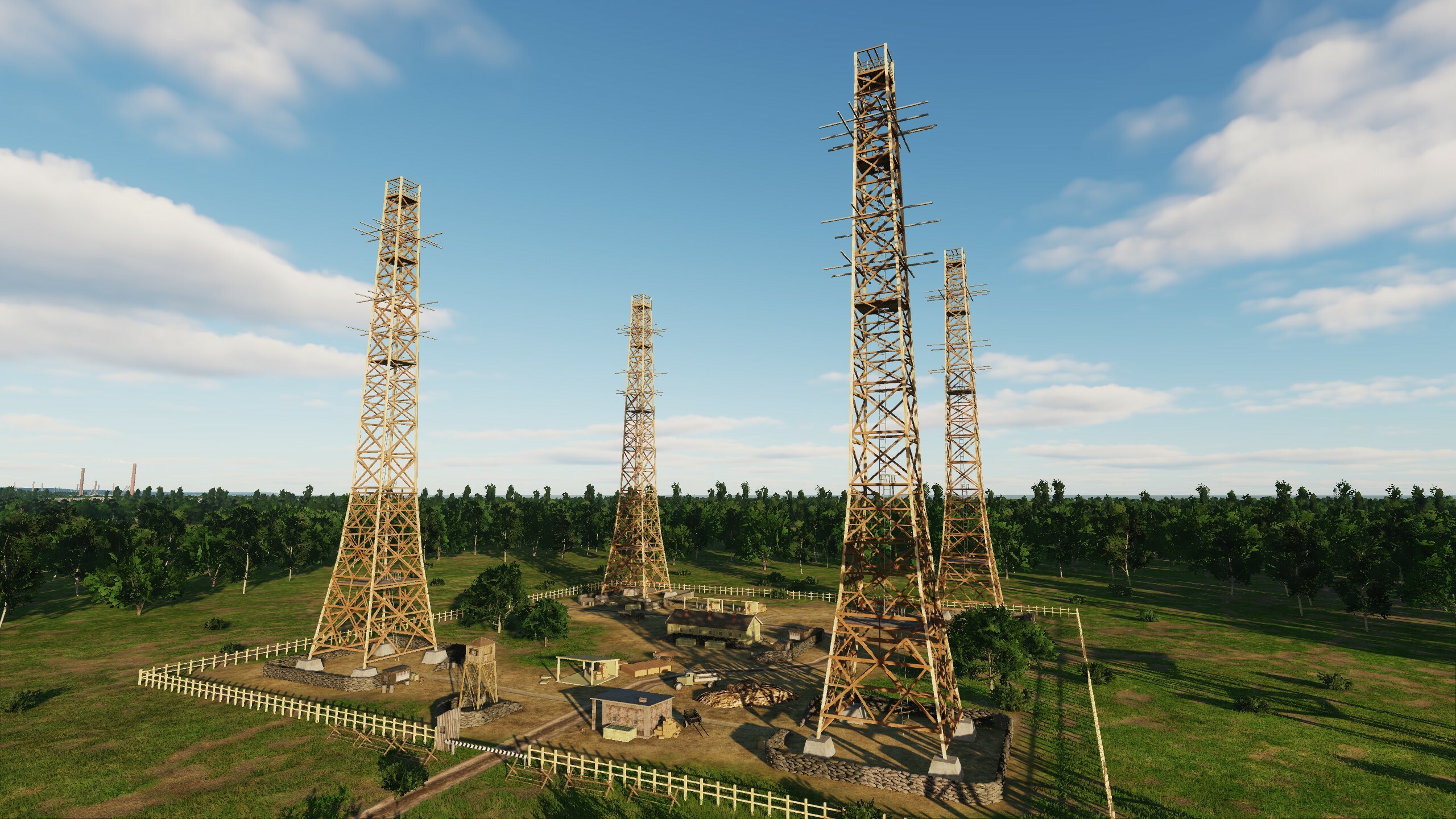
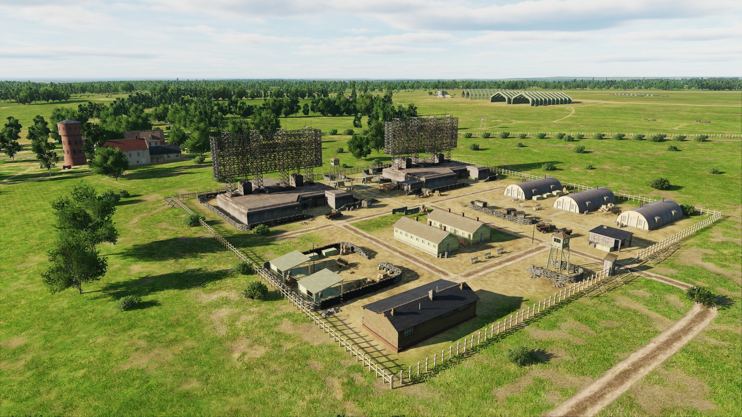
- Improved radar tower scenes in England and France.
- Improved port scenes for Portsmouth, Dunkirk, London.
- Improved traffic of trains and cars.
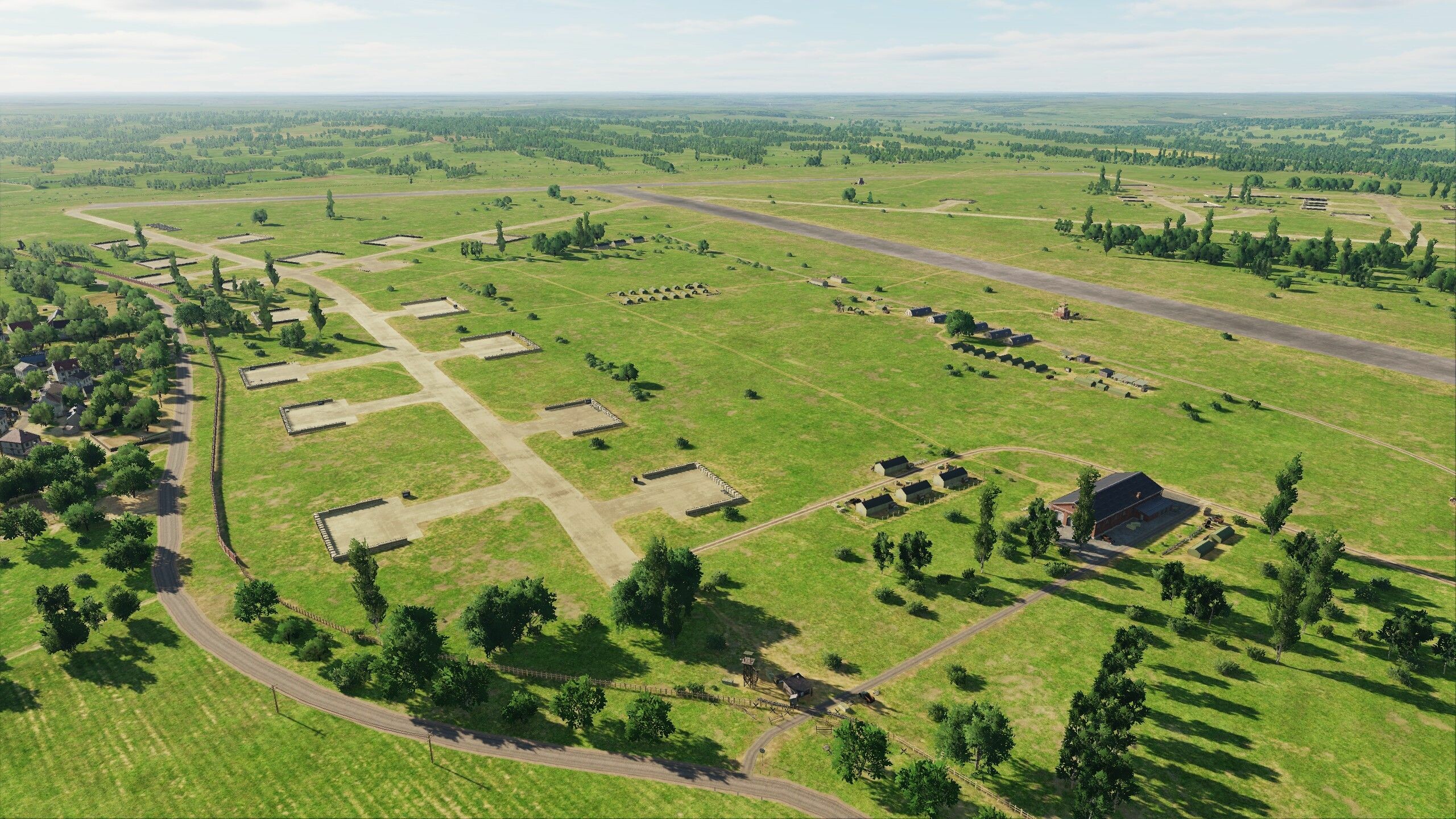
- Added earthworks at English airfields Kenley, Ford, Chailey, Needs Oar Point, West Malling, Gravesend.
- Improved scenes of Orly, Saint-Andre-de-lEure, Amiens-Glisy, Carpiquet, Gravesend, Kenley airfields.
- Improved tent and sandbag shelter scenes at Ford, Chailey, Gravesend, Kenley airfields.
- Improved settings of city objects' disconnect range.
- Improved life settings for objects.
- Improved cliffs on French coast.
- Improved lighting of objects (due to light cloaking during war, available when selecting mission time 1946).
- Increased texture resolution for minimum settings.
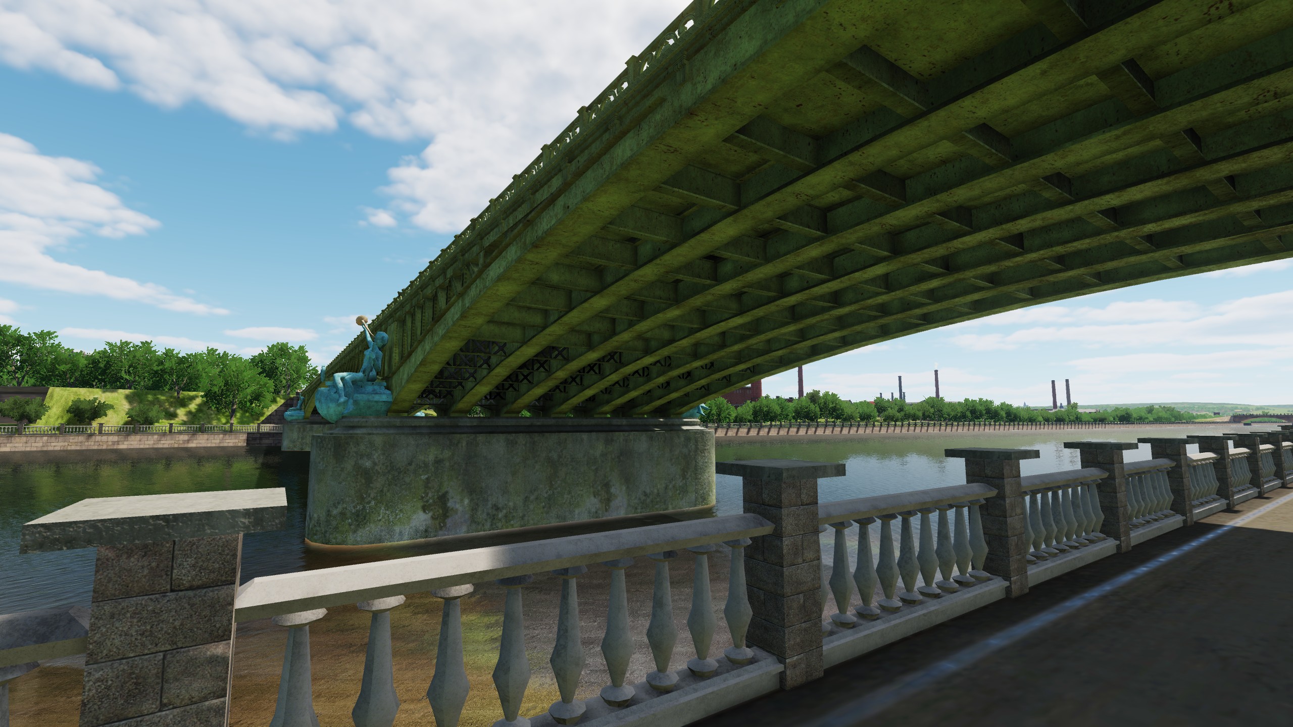
- Part of metal car bridges replaced by stone ones.
- Destruction models are optimized.
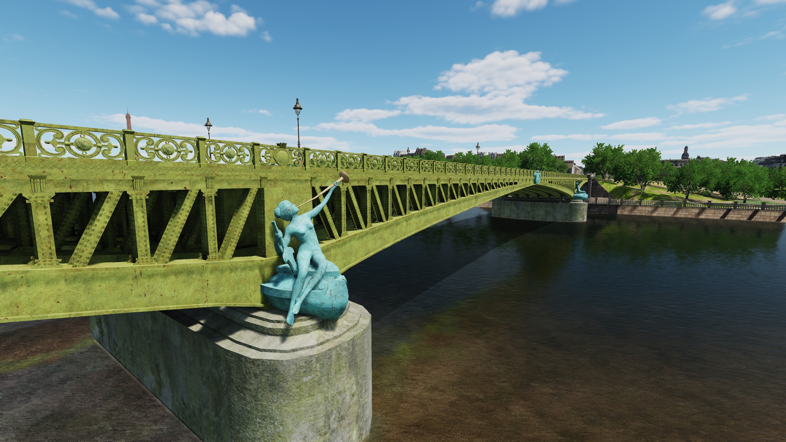
- Added steps on Tower Bridge, Mirabeau Bridge, Alexander III Bridge.
- Added oversized EDM flags.
- Fixed errors in the Chailey, Farnborough, Ford, Kenley, Beny-sur-Mer, Bazenville, Deux Jumeaux airfield scenes.
- Fixed errors in taxiways and car parks at Chailey, Farnborough, Ford, Kenley, Lymington, Orly, Villacoublay, Saint-Andre-de-lEure, Creil, Cormeilles-en-Vexin, Carpiquet, Sainte-Laurent-sur-Mer.
- Terrain errors on the French coast have been fixed.
- Leveled terrain in the ports of Portsmouth, Dunkirk, London, Boulogne-sur-Mer.
- Fixed errors in land textures near the Isle of Wight and on the coast of the landing zone.
- Corrected collisions in Louvre Museum arches, military school in Paris, Luxembourg Palace, Tower, Victoria Station, Liverpool Street Station, Kensington Palace, Buckingham Palace.
- Fixed errors at Cumberland and Newhaven Forts.
- Fixed the hands on the clocks at Victoria Station, Big Ben and model churches.
Graphics - ED Team ha scritto:
Sinai Early Access
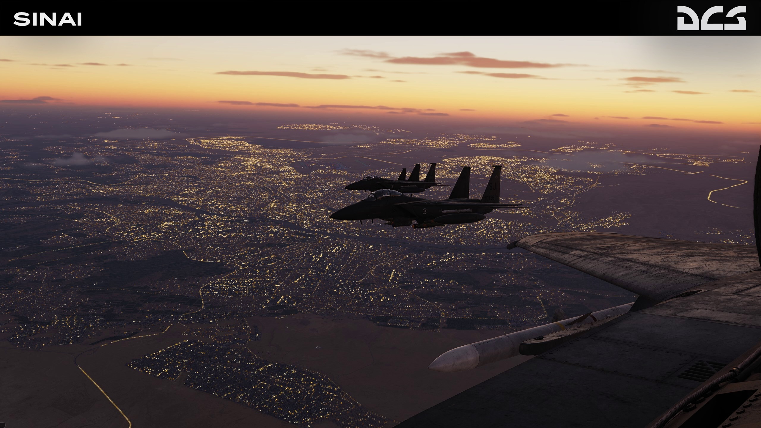
We are excited to launch the Sinai map with a 20% early access discount, a stunning terrain expansion for DCS. With this historical region as its backdrop, this map offers an incredibly diverse and challenging battlefield for you to explore and dominate. Watch the video!
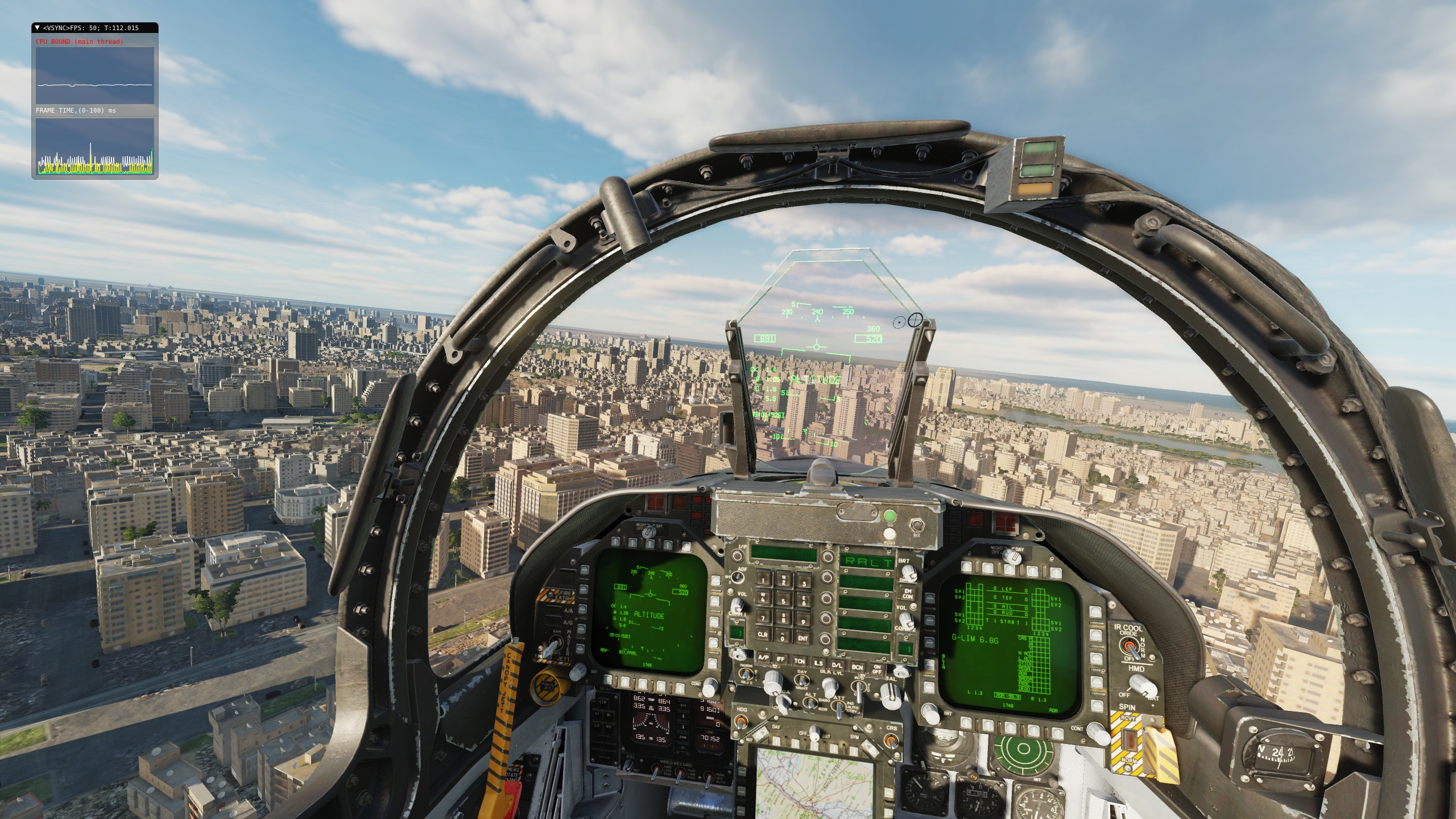
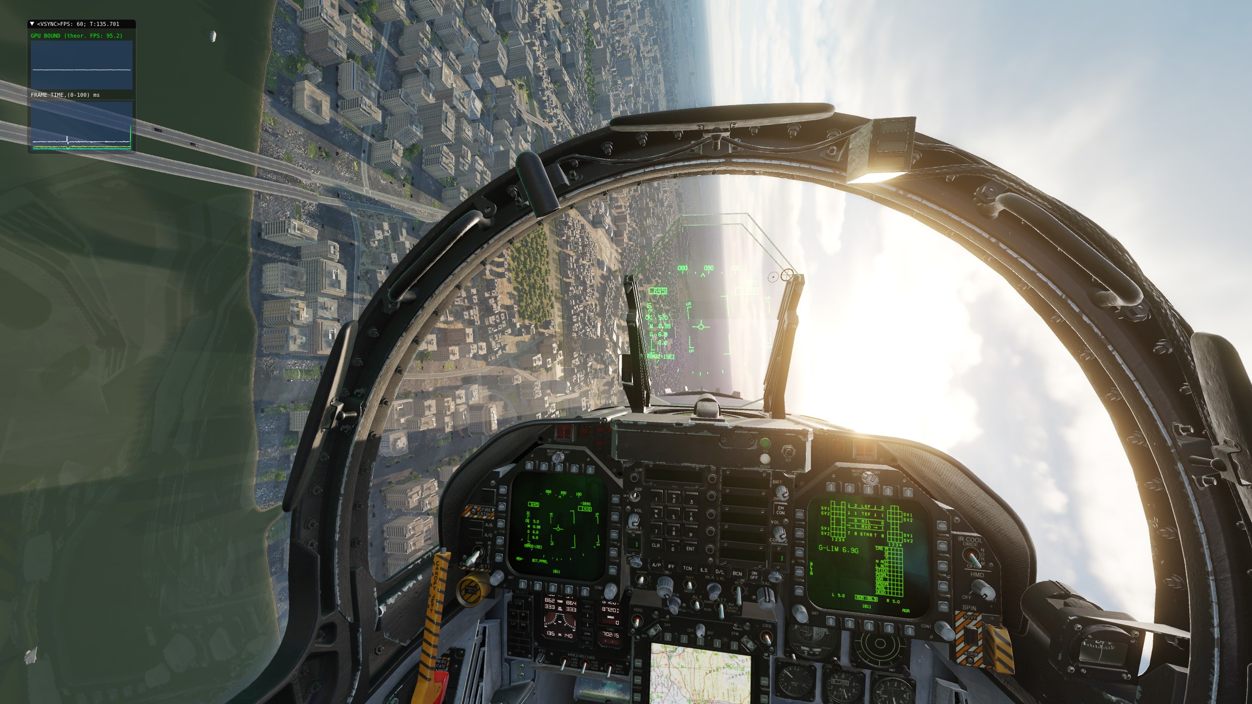
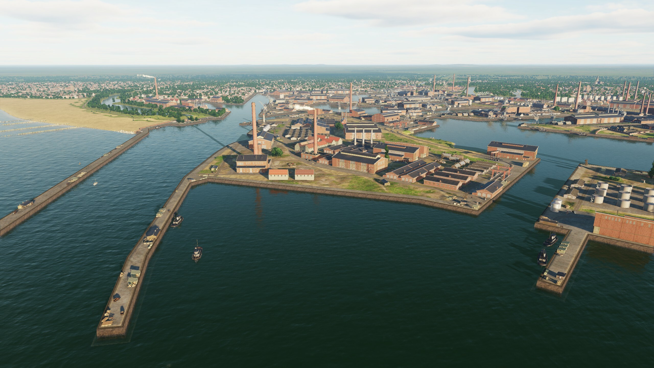
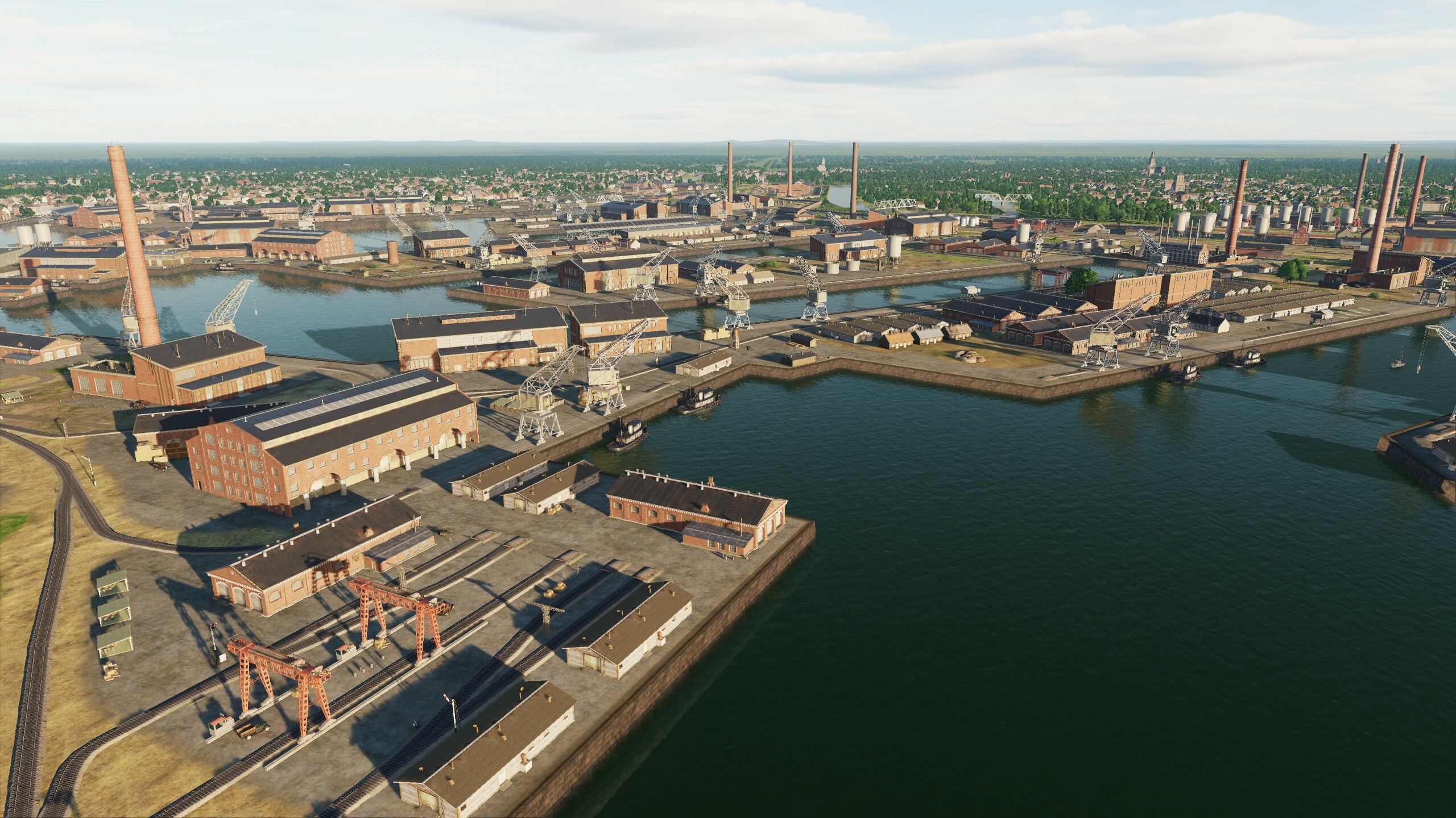
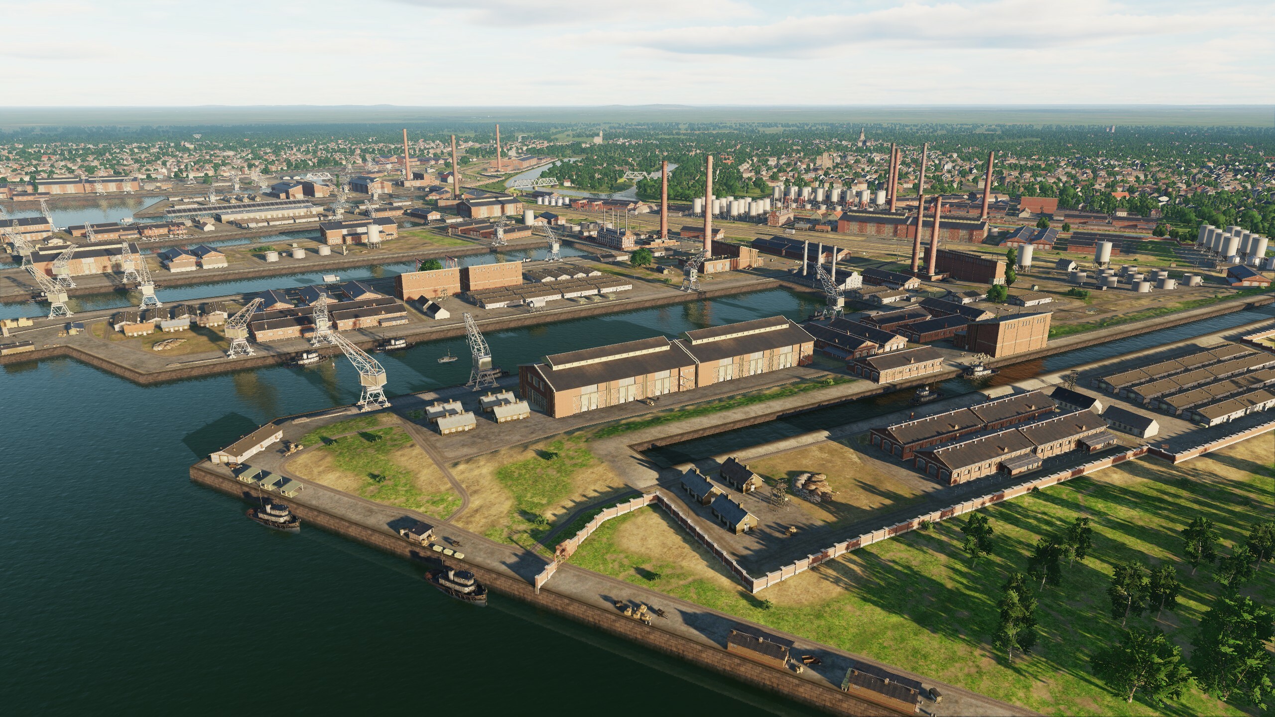
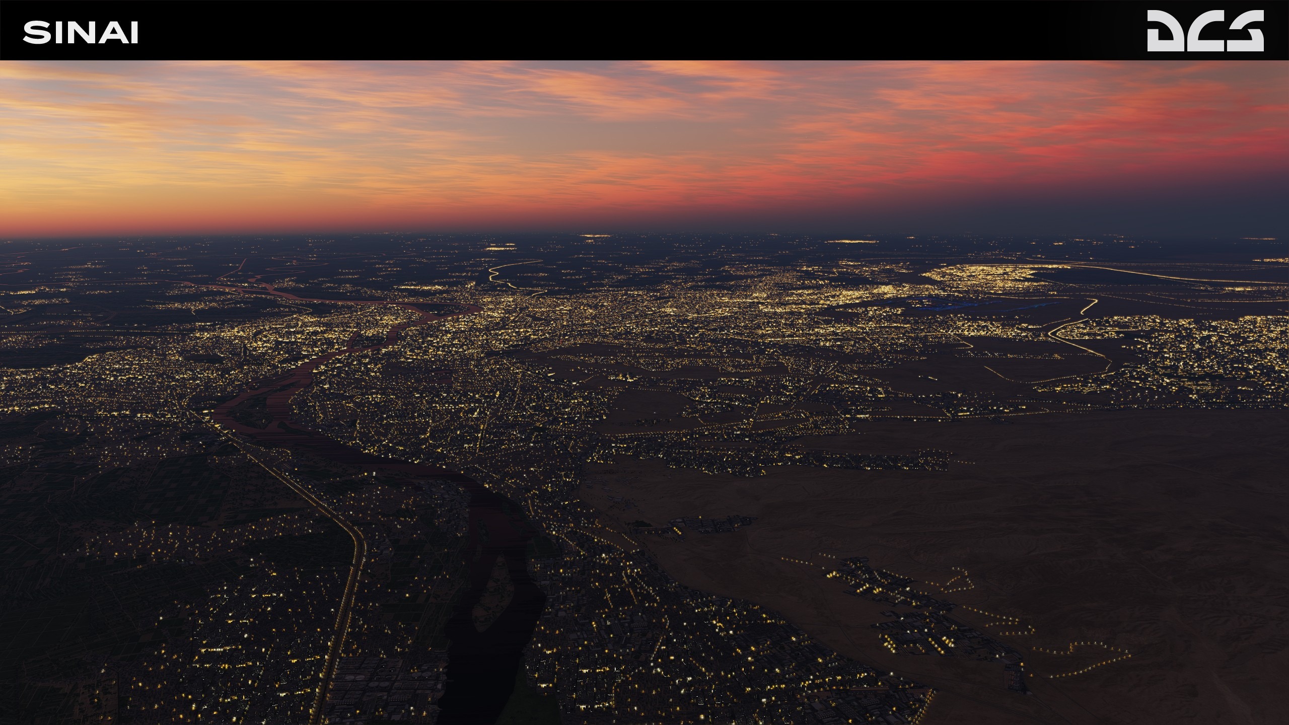
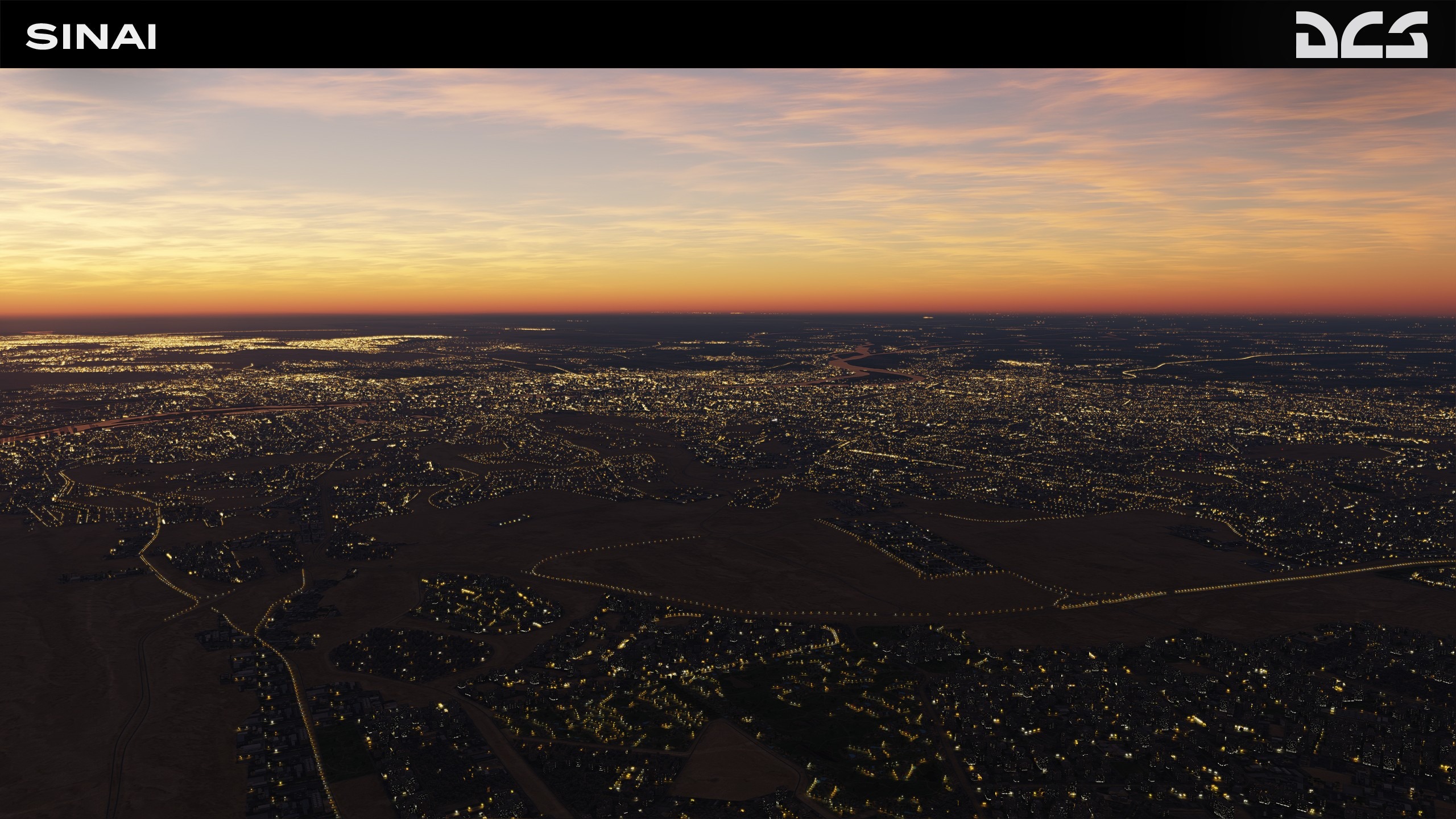
The DCS: Sinai map spans from eastern Egypt to southern Israel. It is a strategic location rich in resources, nature, religion and history. The map includes deserts, fertile farm lands, oases and coastlines. The Suez Canal waterway connects the Mediterranean Sea to the Red Sea and provides a shorter route between Europe and Asia. This has made it politically significant to regional security and stability.
This new map territory includes the entire Sinai Peninsula, eastern Egypt, the Nile Delta, southern Israel, western Jordan and Saudi Arabia. It also includes the Gaza Strip and the West Bank. The total size of the map is 1500 x 1000 km, and the detailed section is 700 x 700 km. This is the first phase of this map and later phases will add additional detail, airfields, and other map content.
In modern times, it is associated with the Arab-Israeli wars, during which it repeatedly became the subject of disputes. This includes the Suez Crisis of 1956, the Six Day War of 1967, and the Yom Kippur War of 1973. We truly hope you enjoy this fantastic addition.
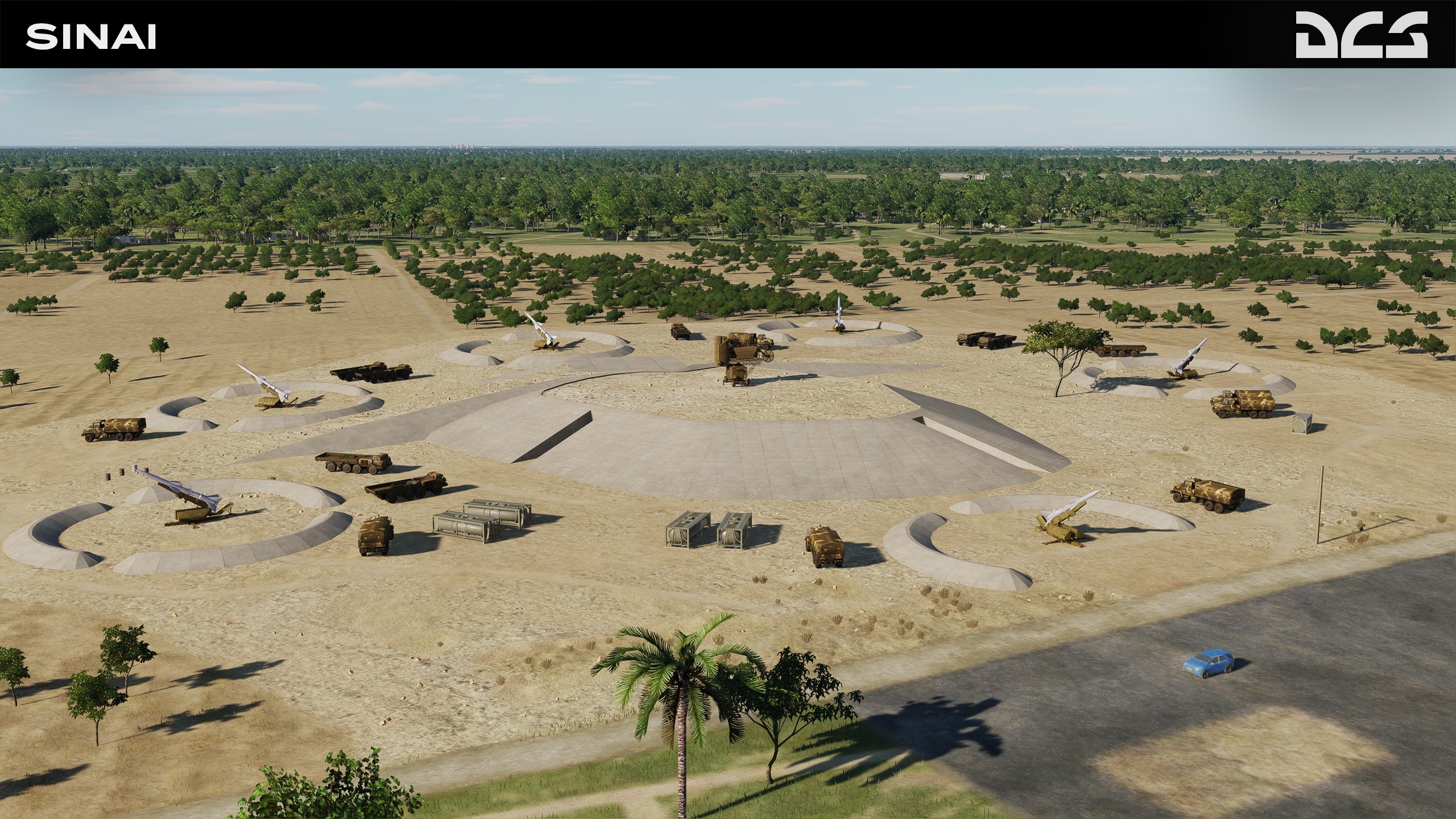
The map contains many military bases and strategic seaports, emplacements for air defense systems, and helipads. This will allow you to create interesting missions in both the air and on the ground. A large number of military facilities and bases will help to reenact the Arab-Israeli wars, as well as modern missions and campaigns based on fictional scenarios.
Key Features:
- 20 Egyptian airfields and 9 Israeli airfields. Airfields are accurately modeled and include lighting, approach lights, PAPI, TACAN, and VOR systems.
- City lighting using Eagle Dynamics Graphics Engine (EDGE).
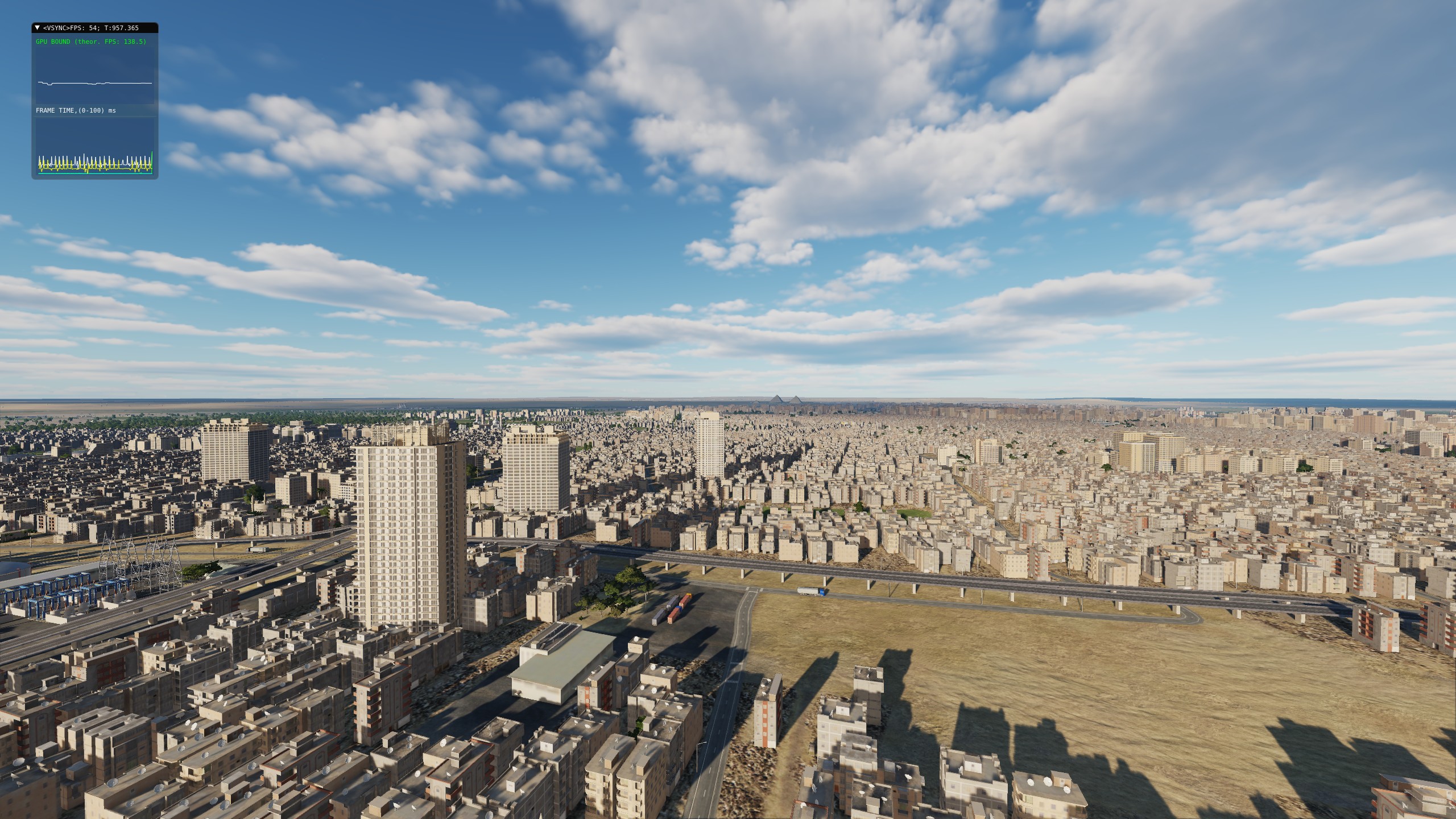
- Major cities like Cairo, Ismail, Alexandria, Suez, Port Said, and Tel Aviv.
- Close to 100 unique objects; airfield facilities and monuments including the famous Giza pyramids. All objects and assets are divided into territories.
- The coastline of the Suez Canal, the Gulf of Suez, and the Gulf of Aqaba
- Implementation of new procedural generation technology of land textures and normal map textures for mountains.
- Improved height maps that result in an accurate surface mesh.
- Unique tree models.
We believe that the DCS: Sinai map will enhance your gameplay experience and attract new pilots to the world of DCS. Whether you are an experienced flight simmer or a newcomer, the DCS: Sinai map offers endless opportunities for thrilling missions and challenges.
MAESTR0 - 3rd Party Developers ha scritto:
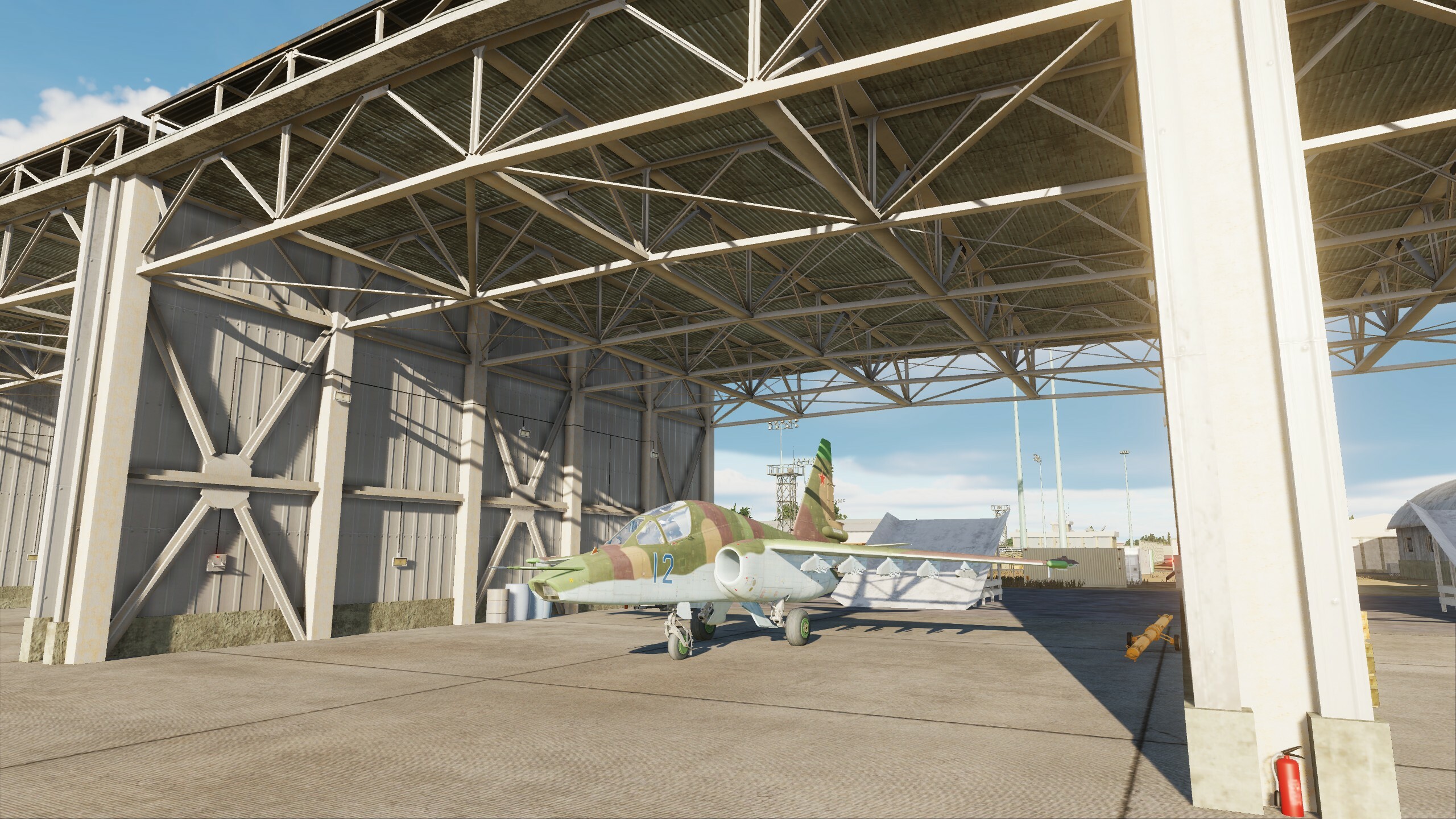
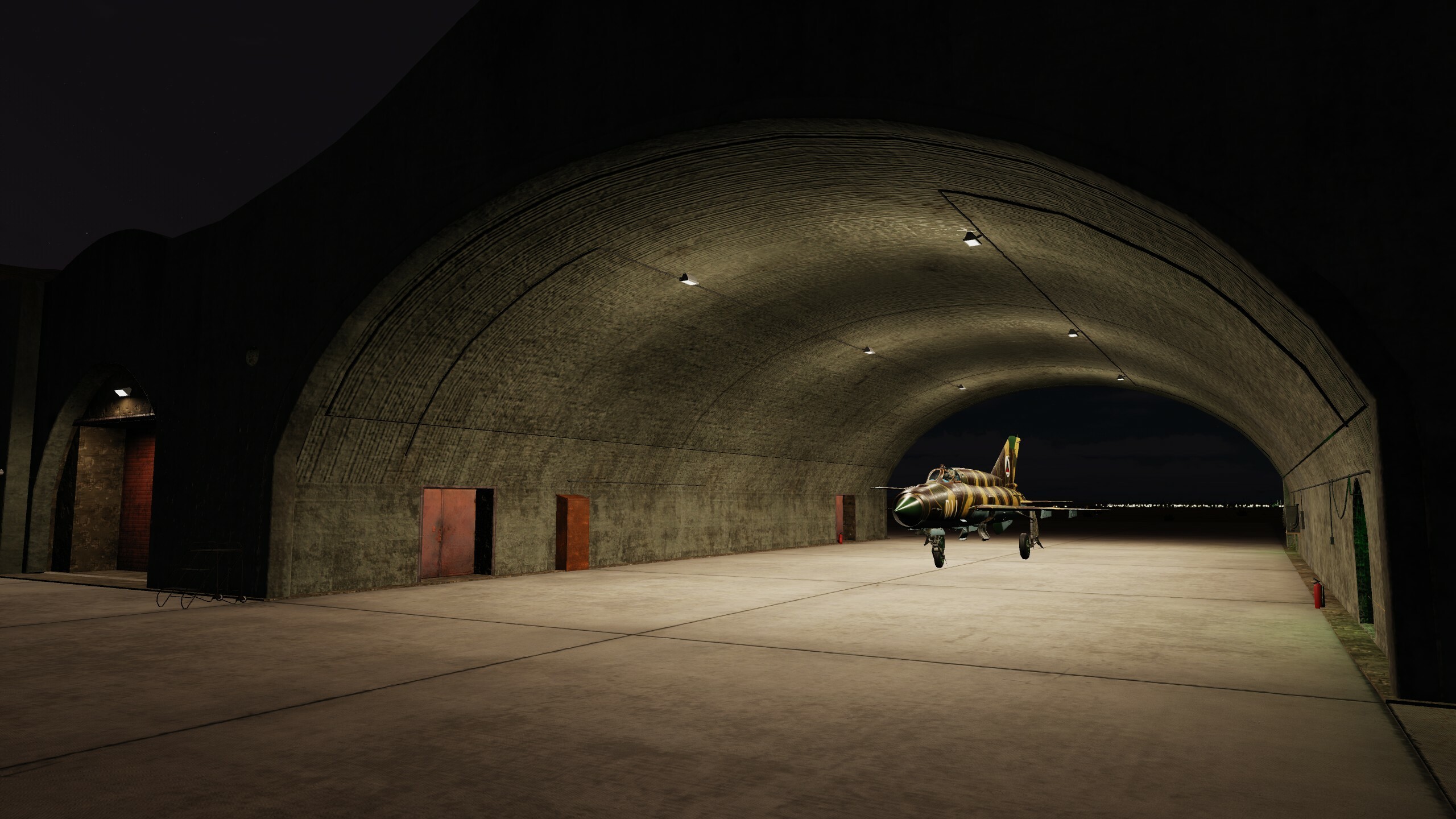
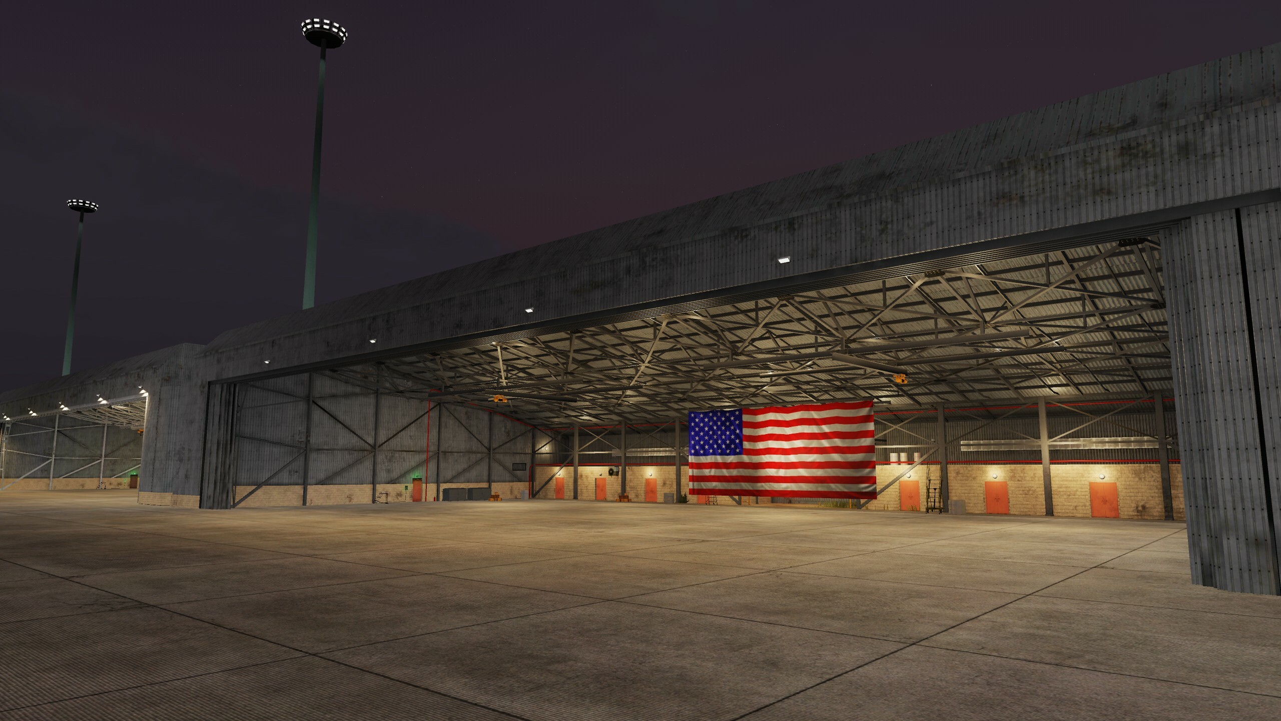
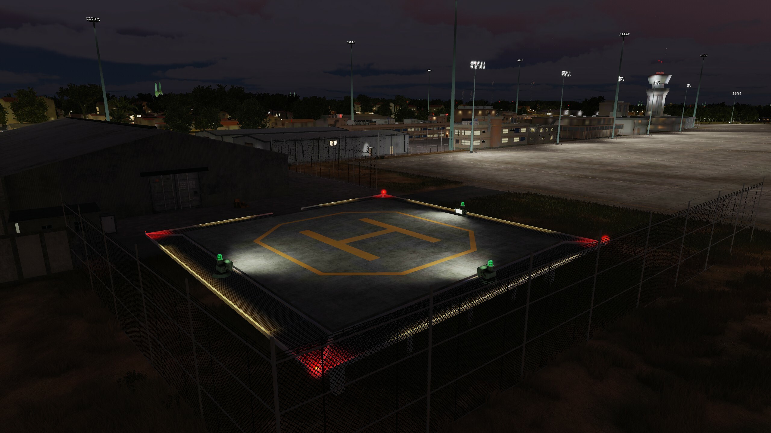
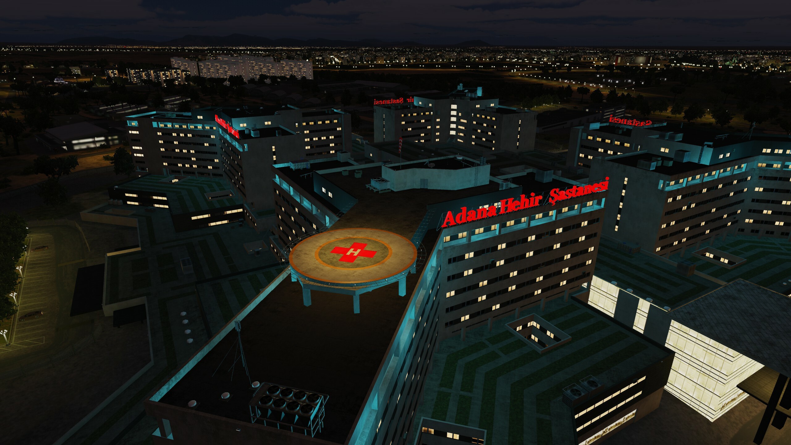
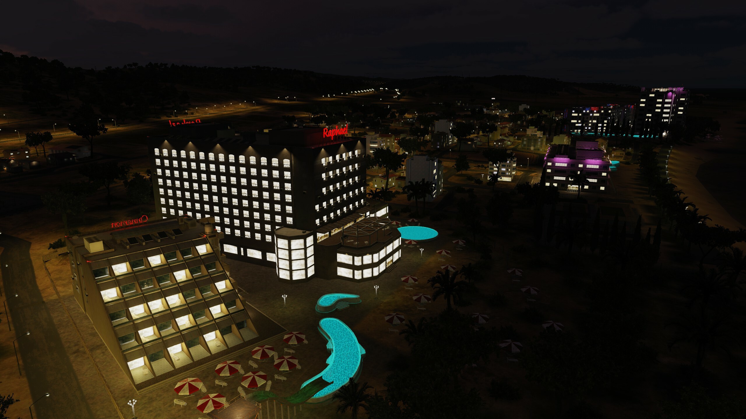
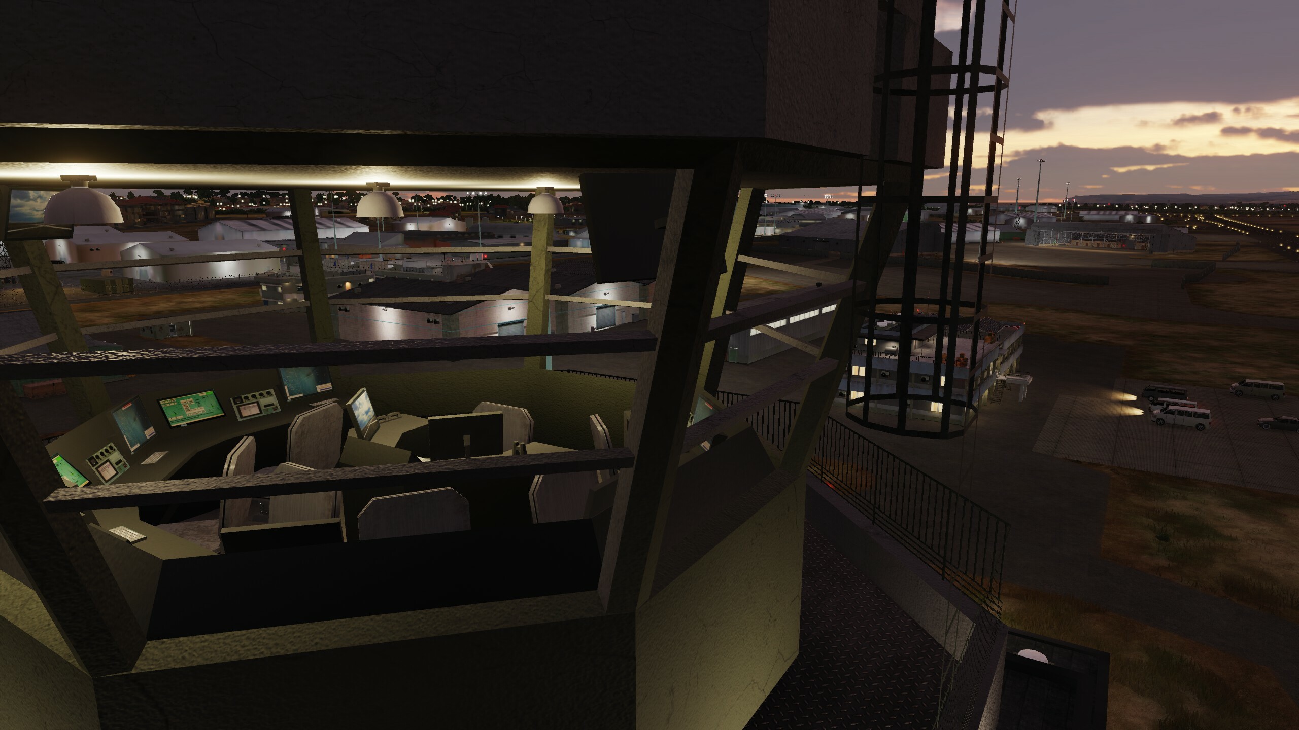
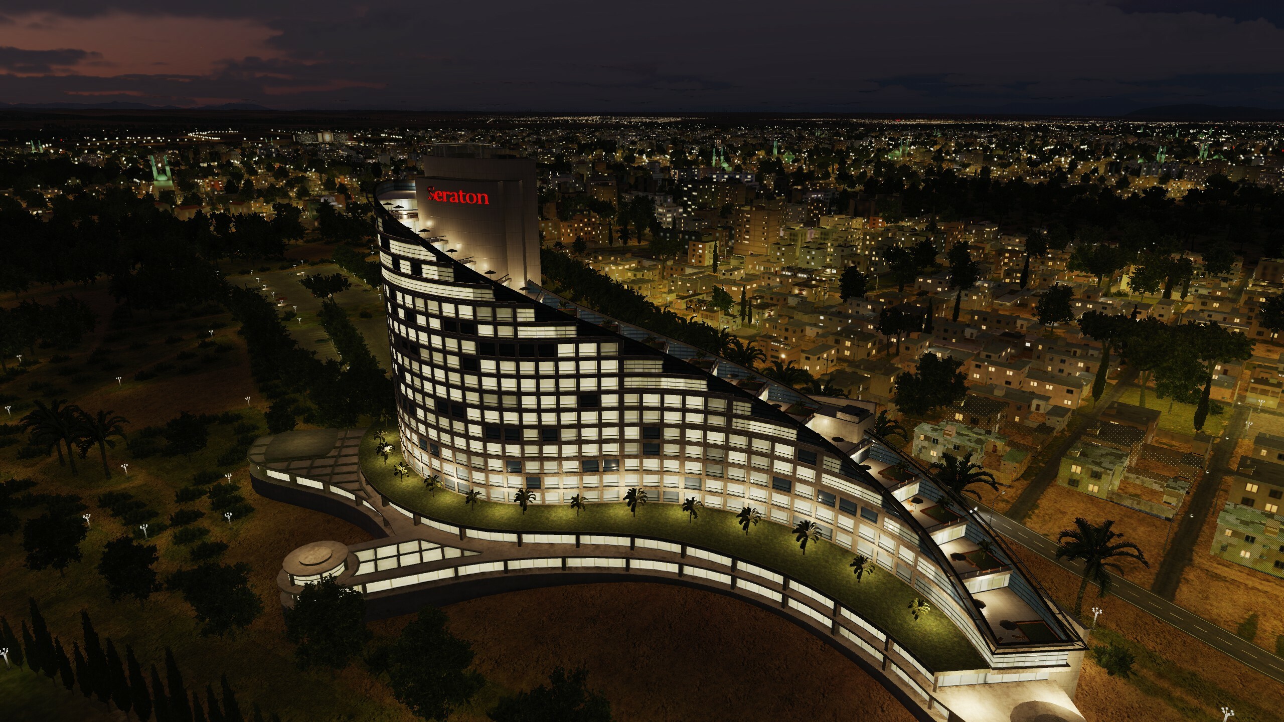
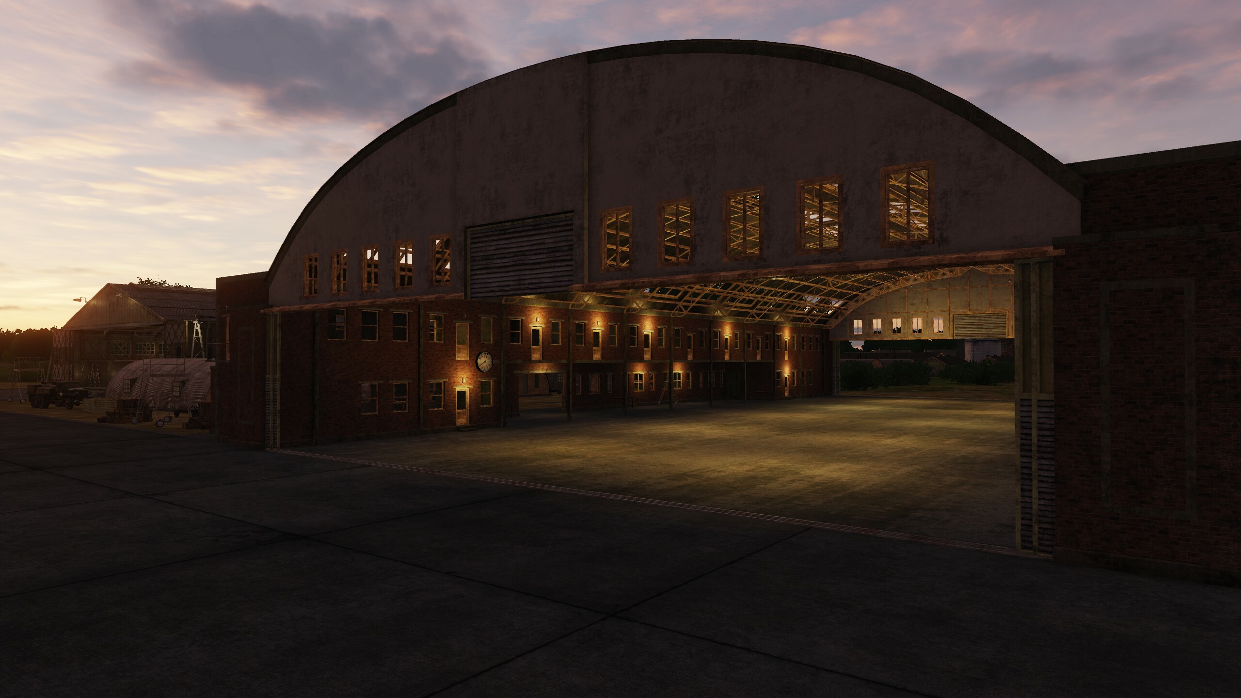
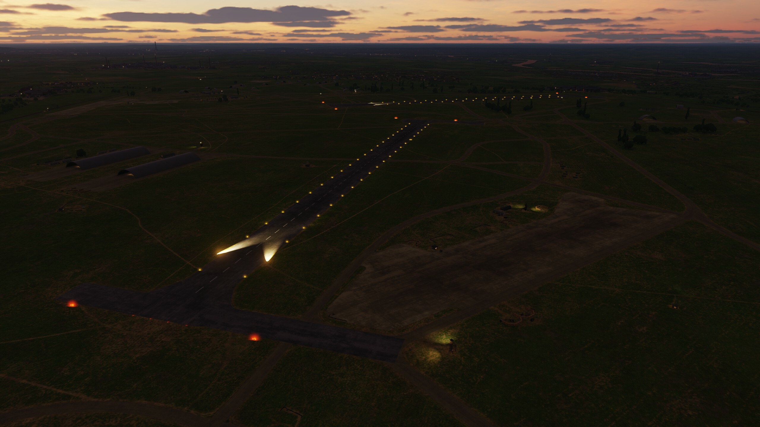
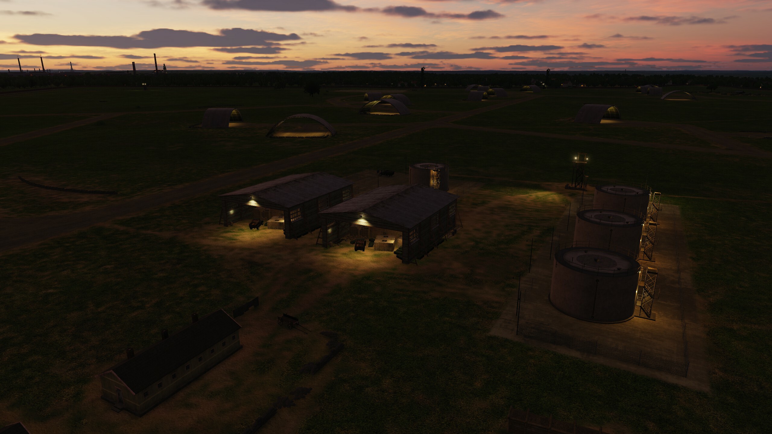
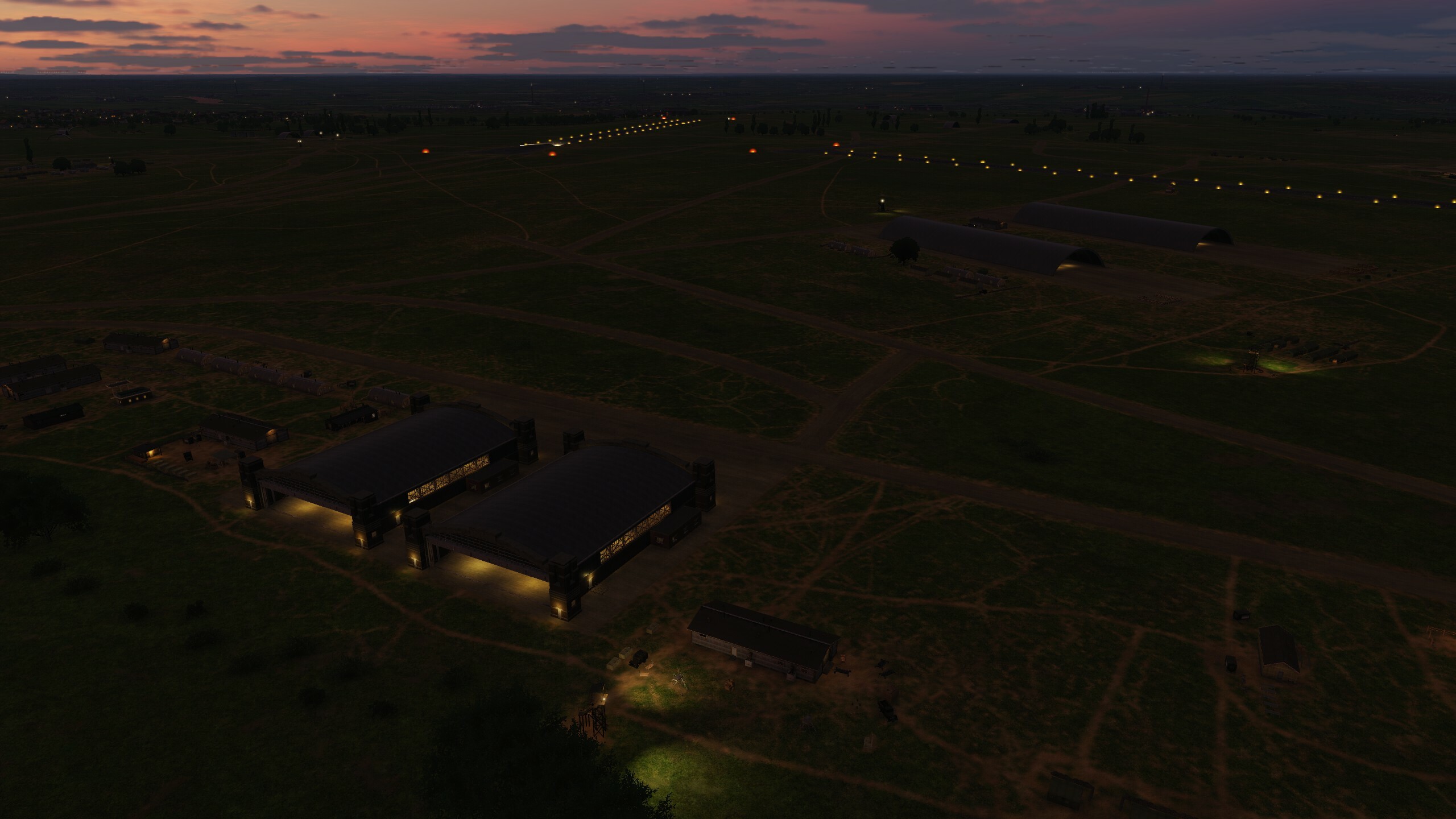
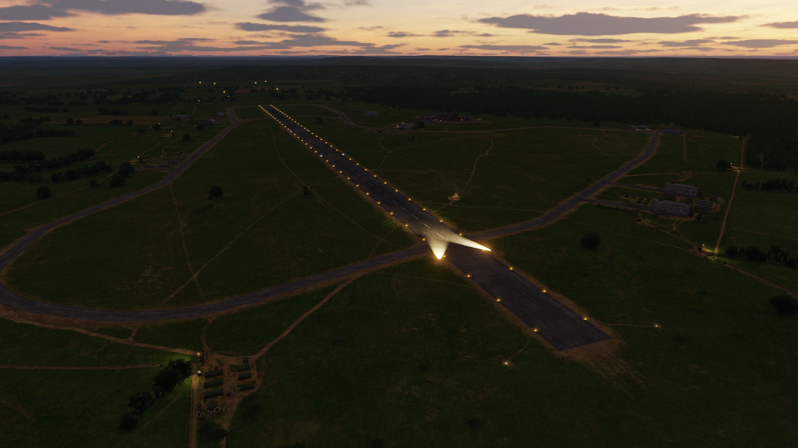
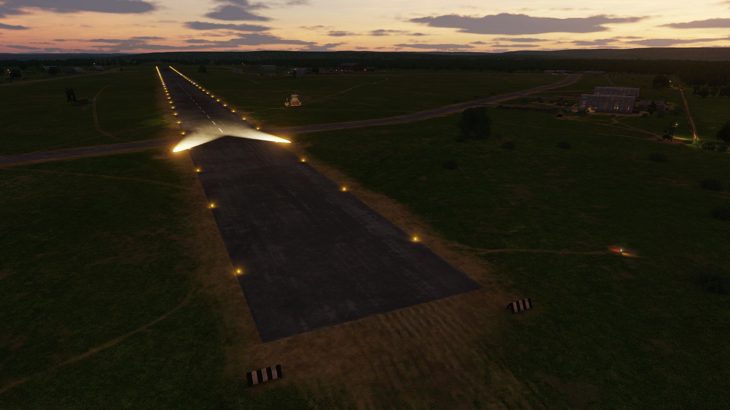
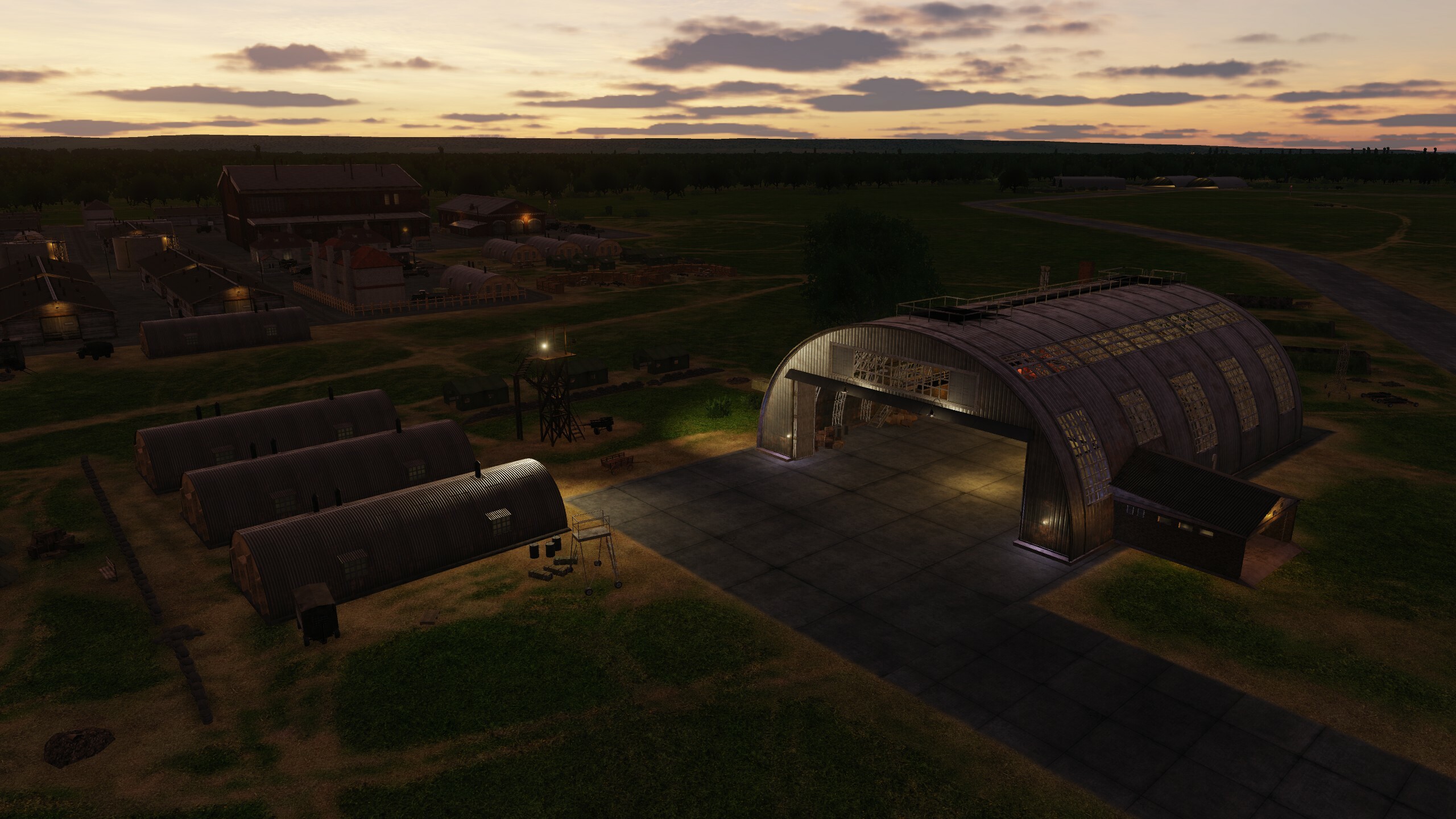
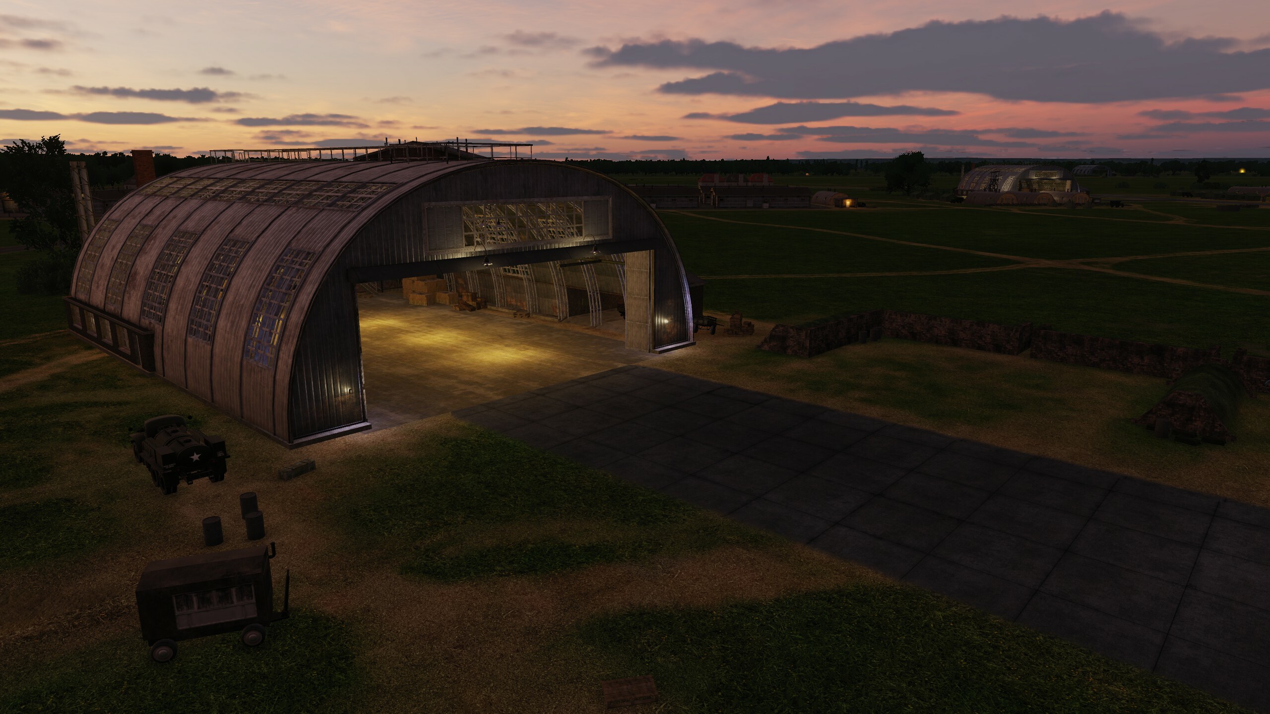
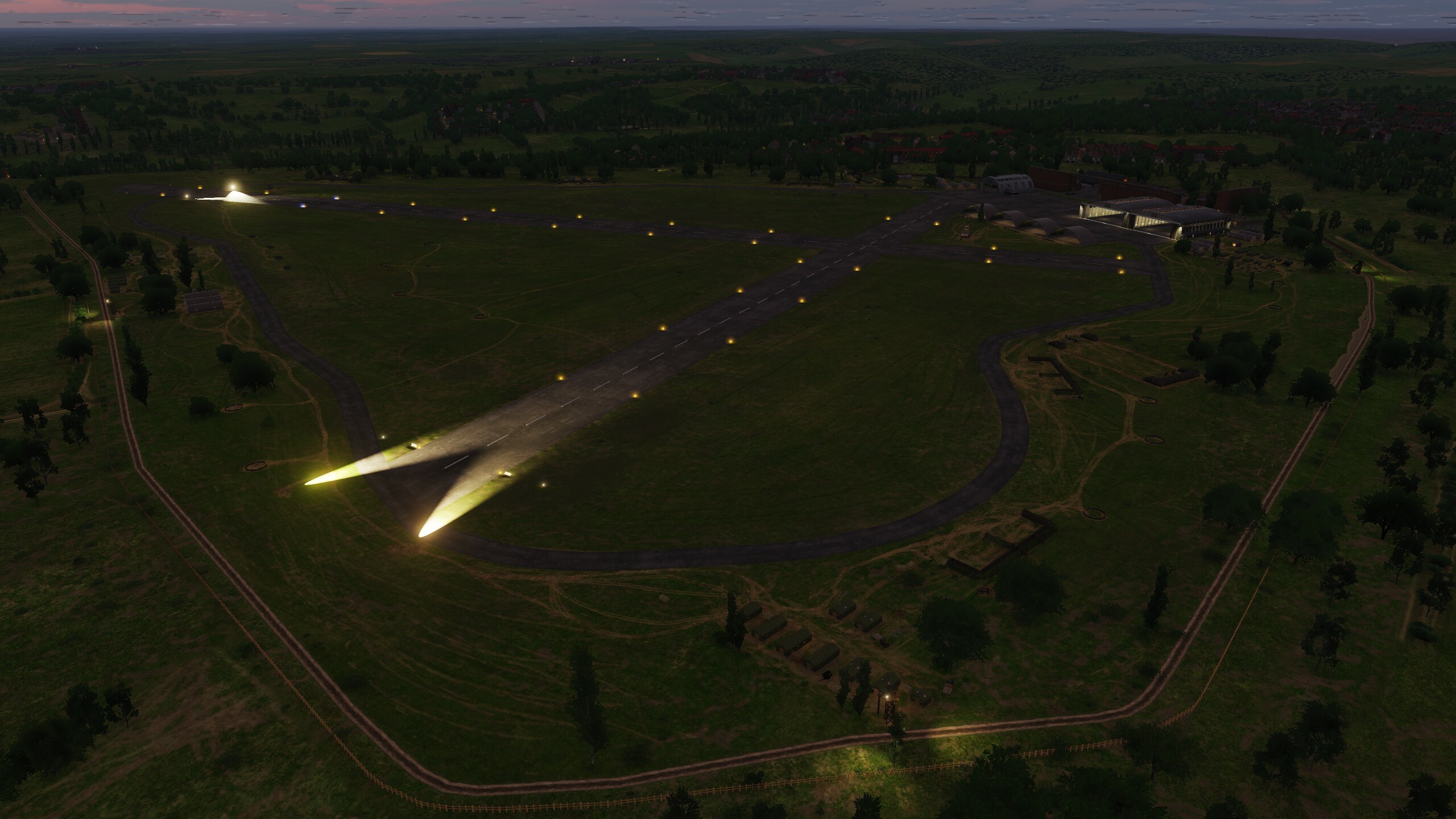
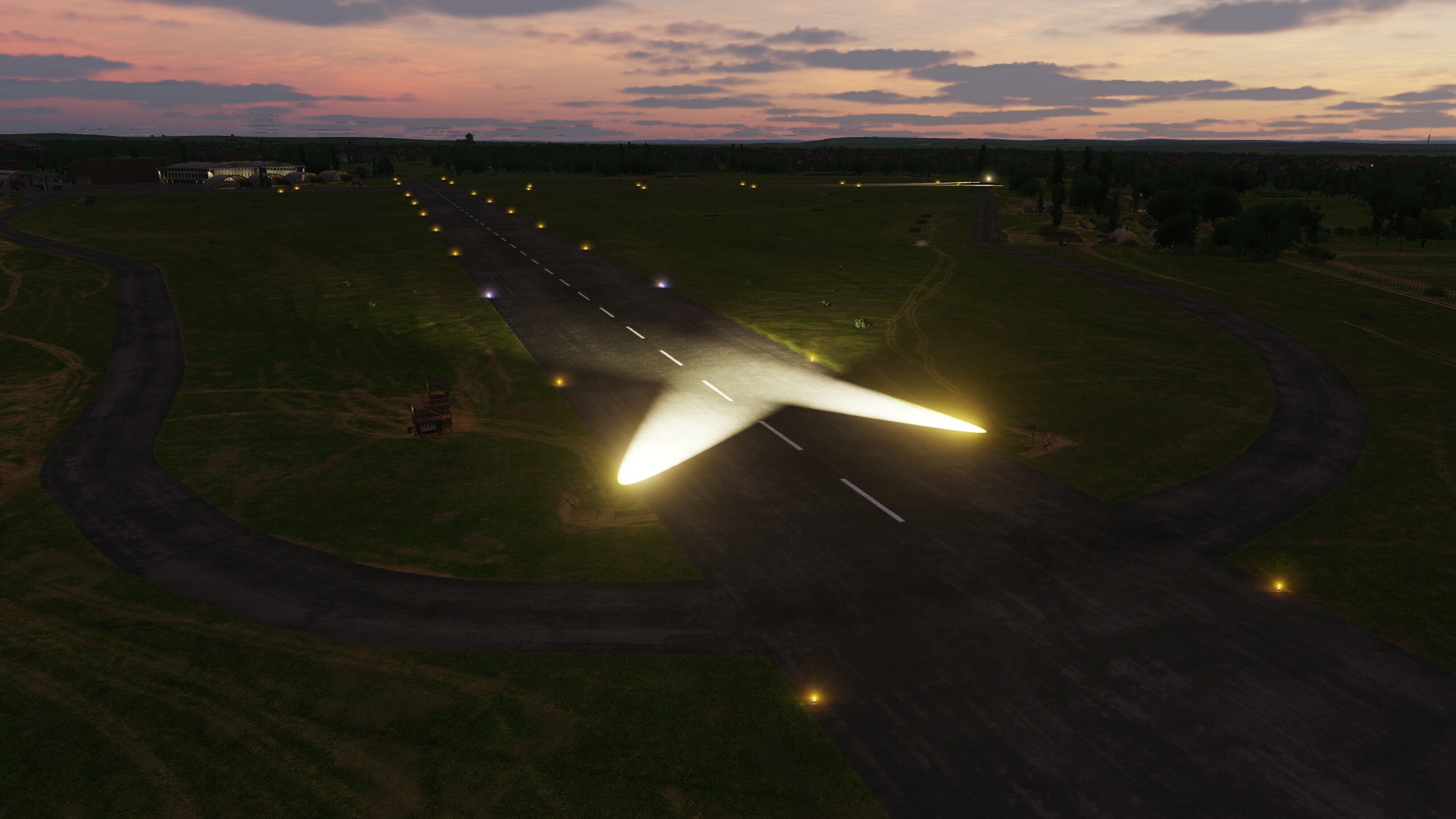
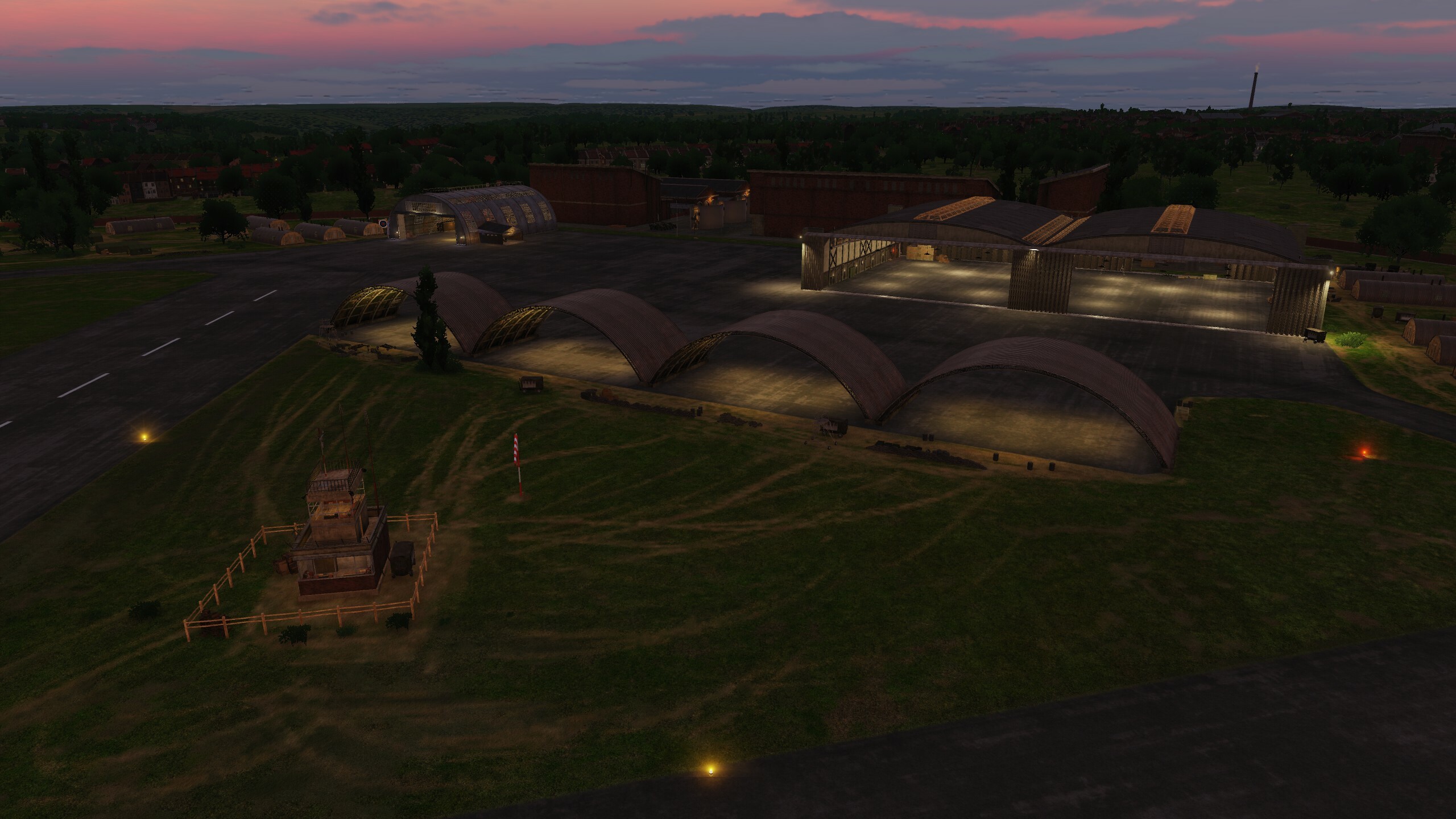
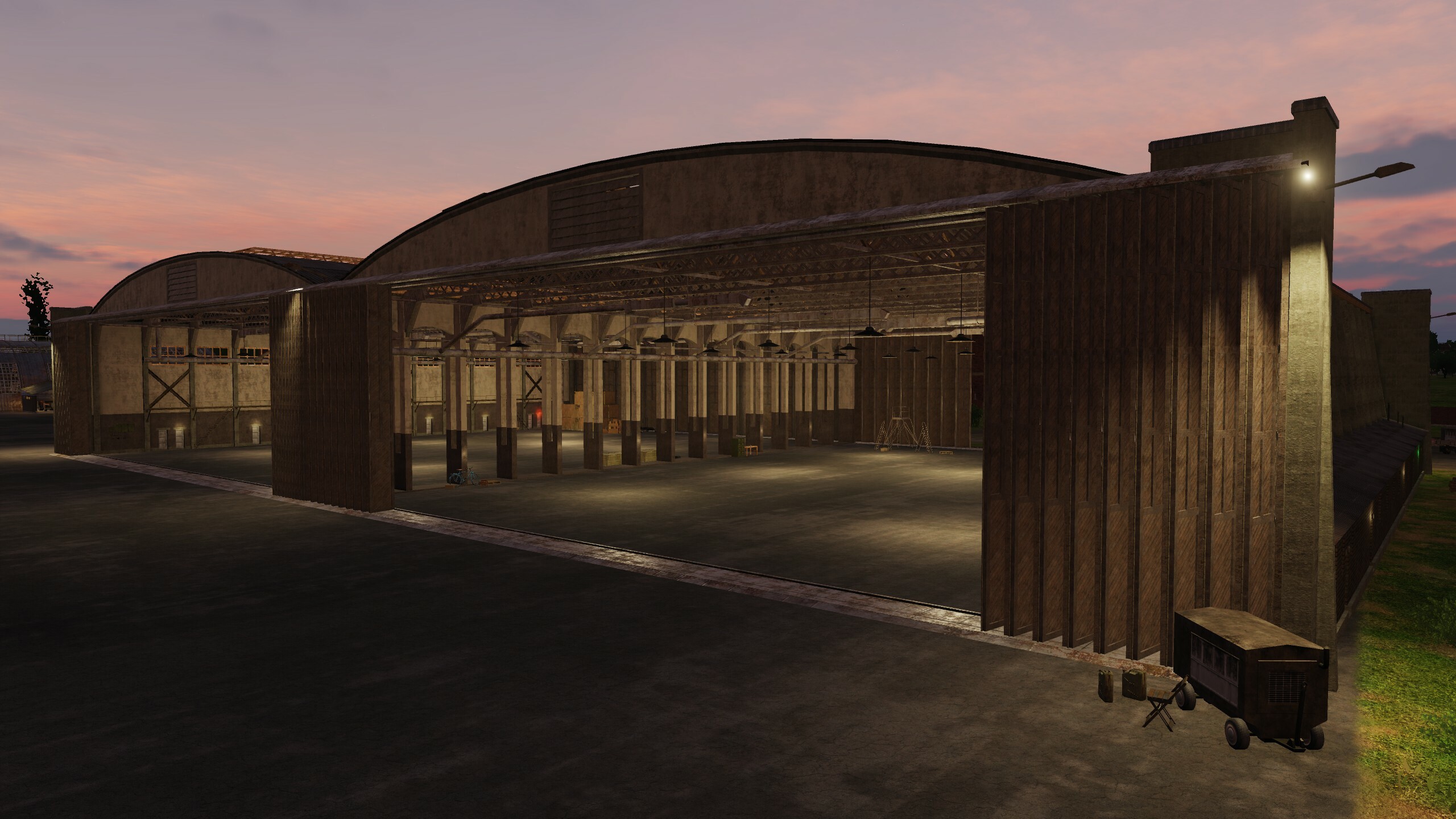
DCS: Syria update 2023
For a long time we did not get in touch, but all this time the work did not stop. Improving, optimizing, adding, introducing something new - everything we worked on was connected with these words. Today we will show new night lighting and some hangars.
The update includes many minor improvements - we made sure that the map is relevant and fresh.
So what's most interesting:
- New lighting technology added.
- Added right-hand traffic in Cyprus. Map description updated.
- Added kneeboard (yeah, this fix has long been waiting in the wings)
- Mission generator updated. Added helicopter landing sites on GUI map. Optimized trees in forest. Simplified trees collimages.
- Optimized and improved building models. Added objects at road and railroad crossings.
- Two types of gas stations have been added. Two types of road-side cafes added.
- Improved cars. Added right-hand drive vehicles. Improved city and field assets. Improved road and railroad assemblies.