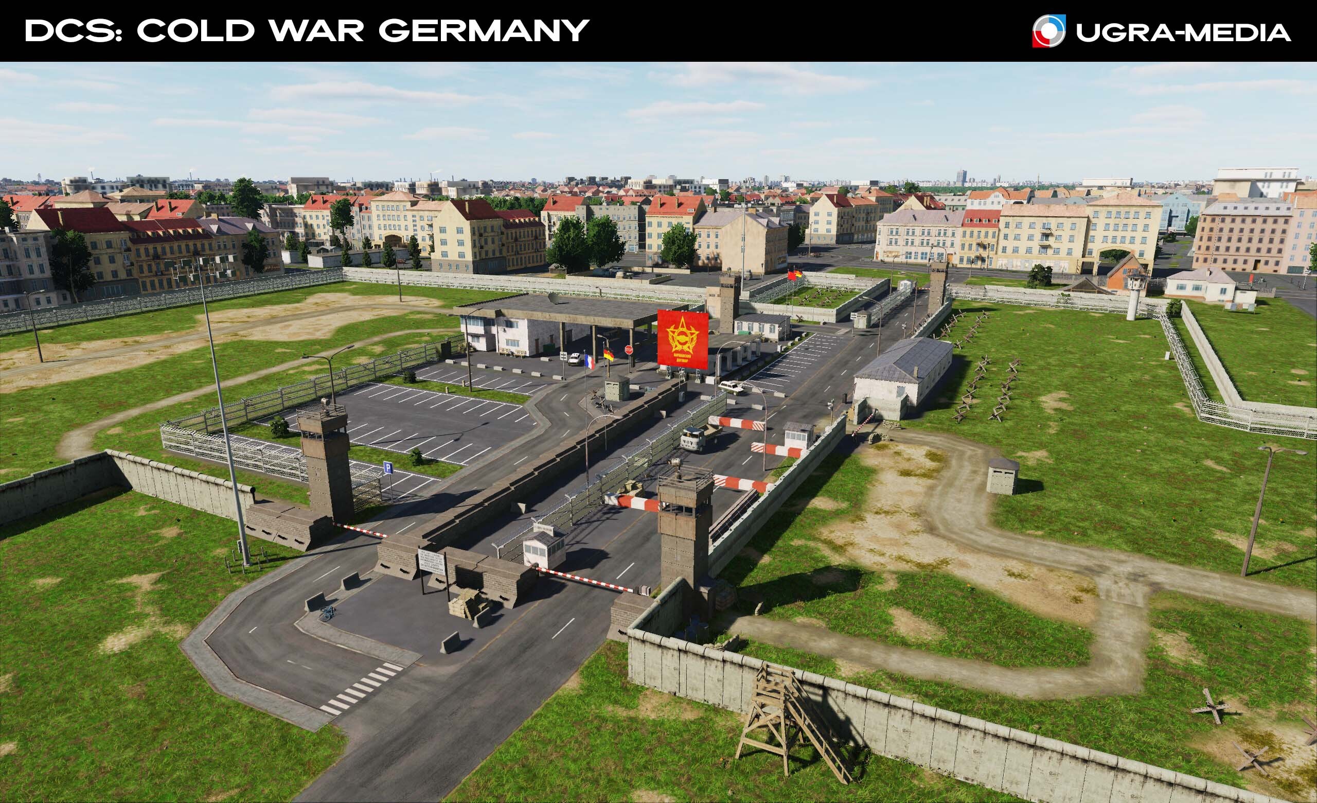
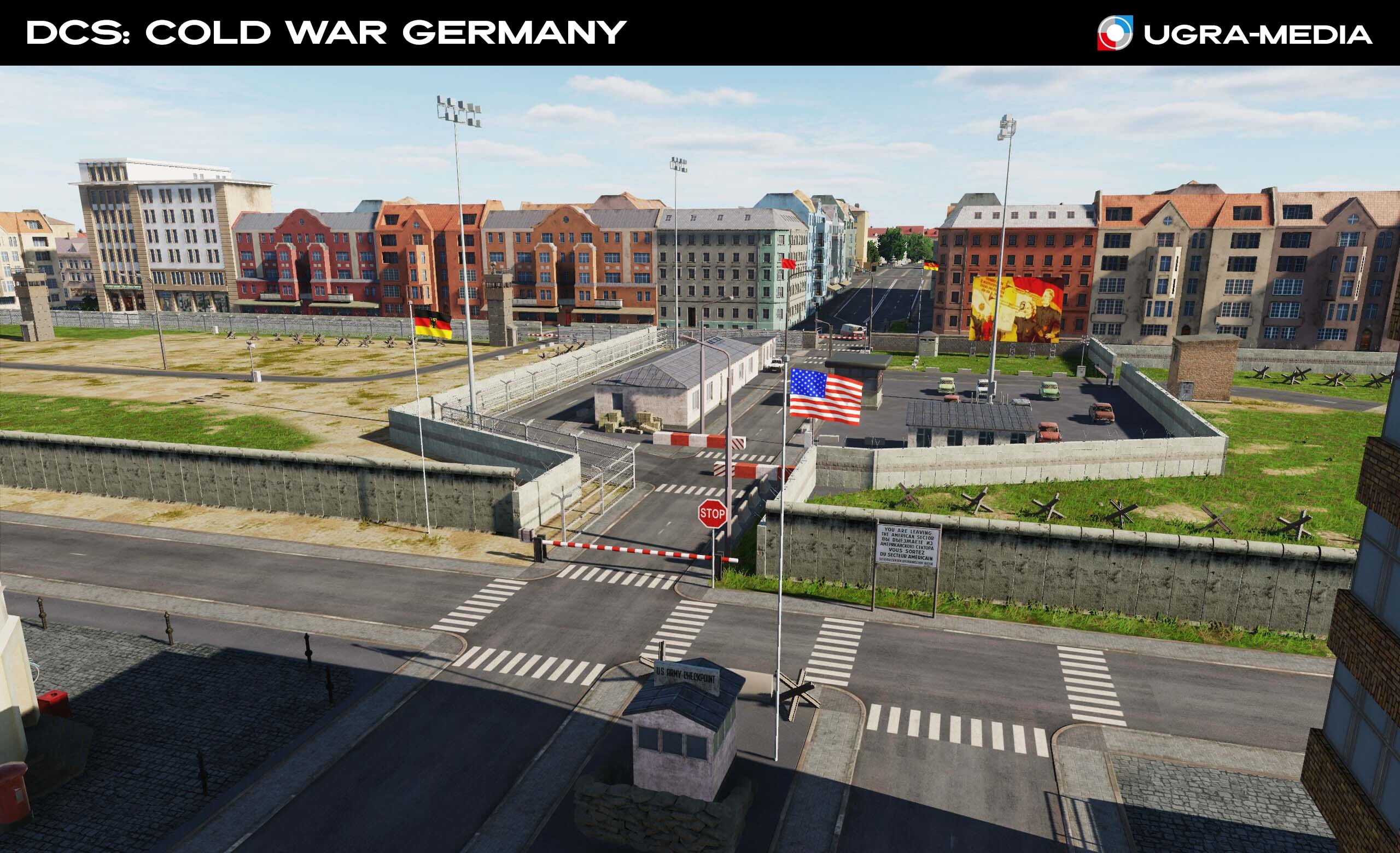
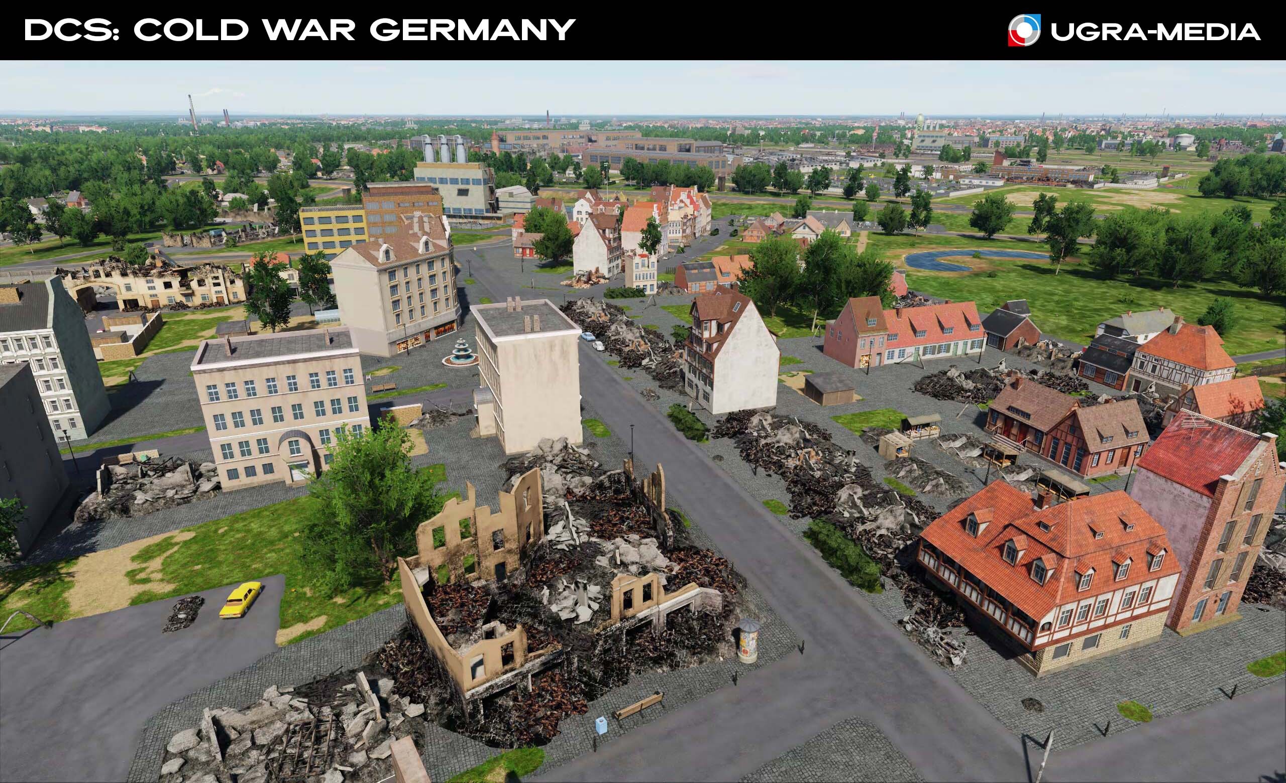
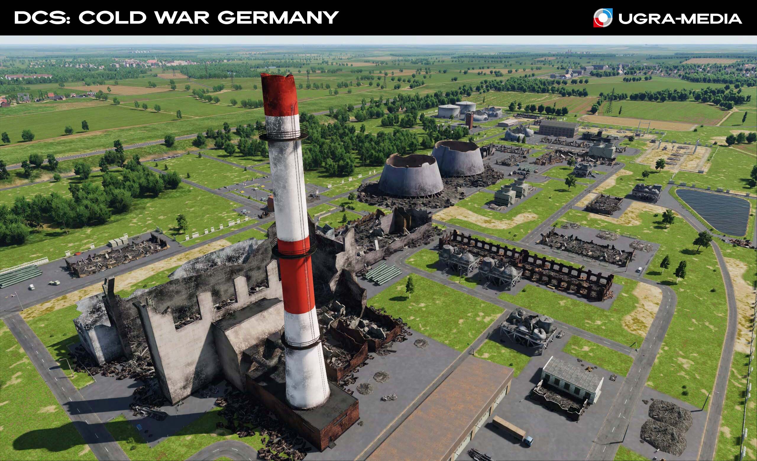
What's been done?
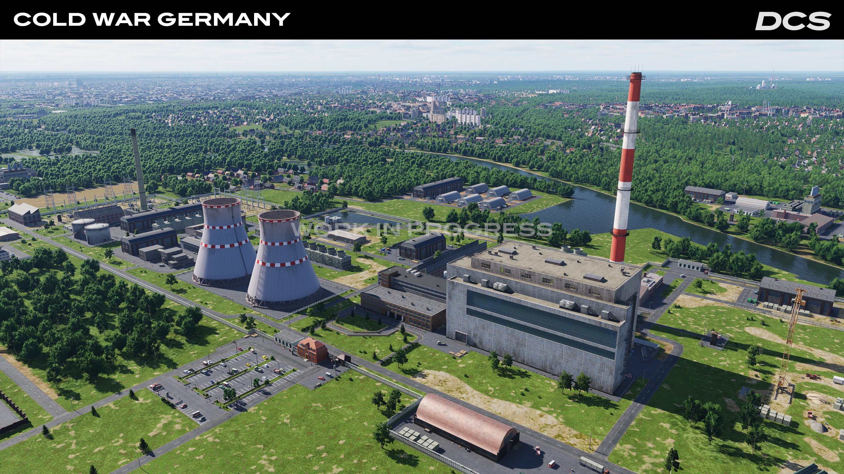
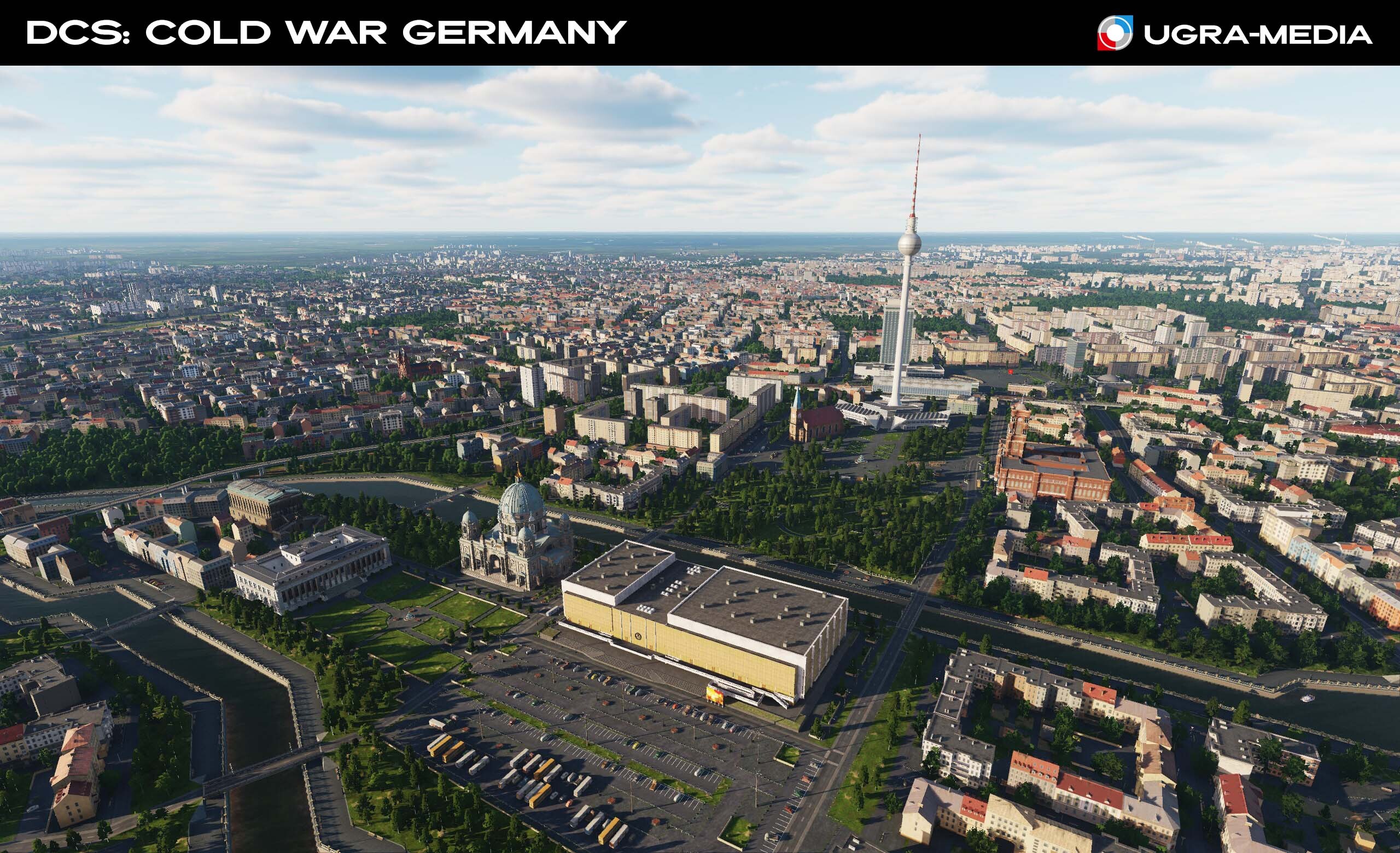
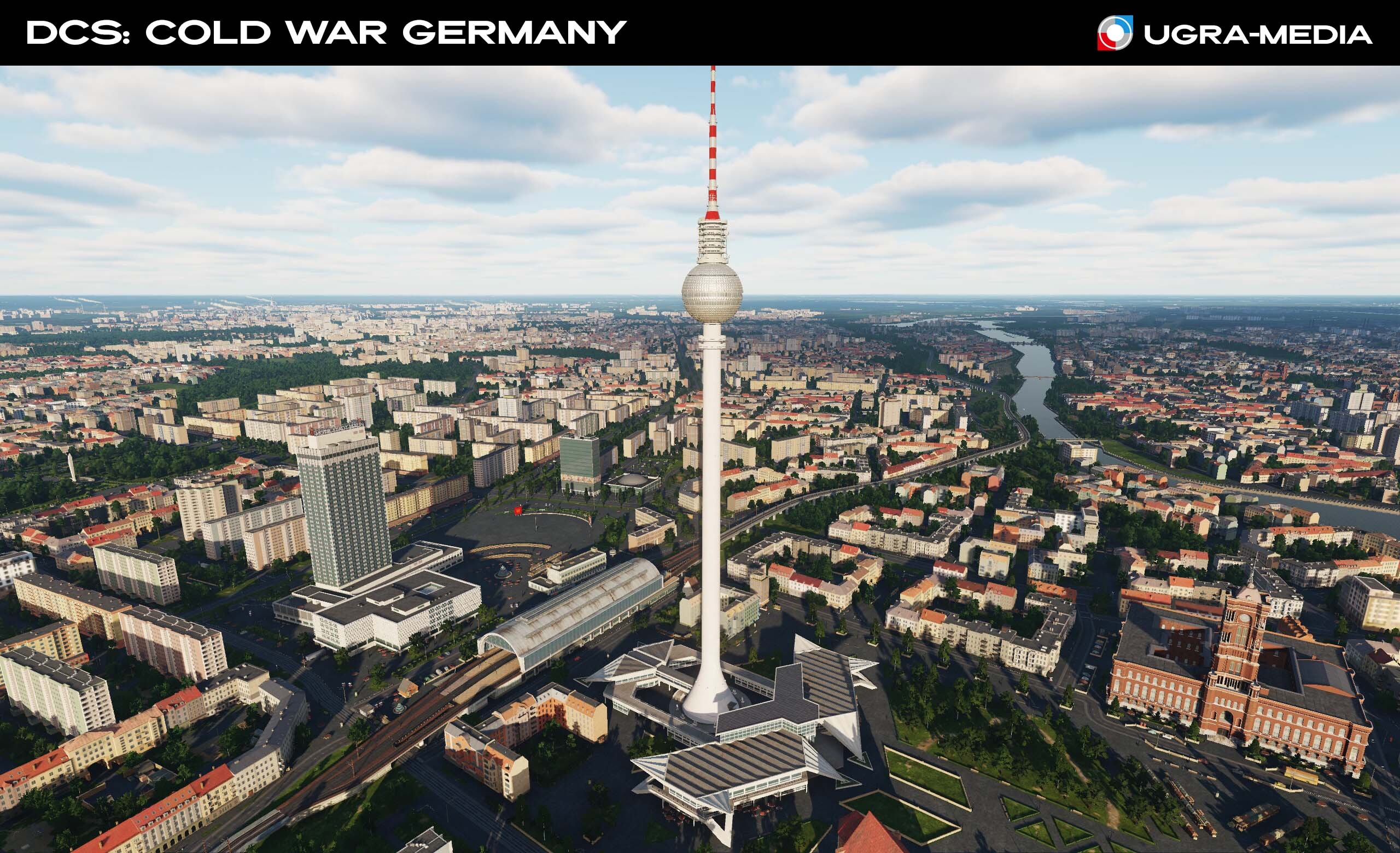
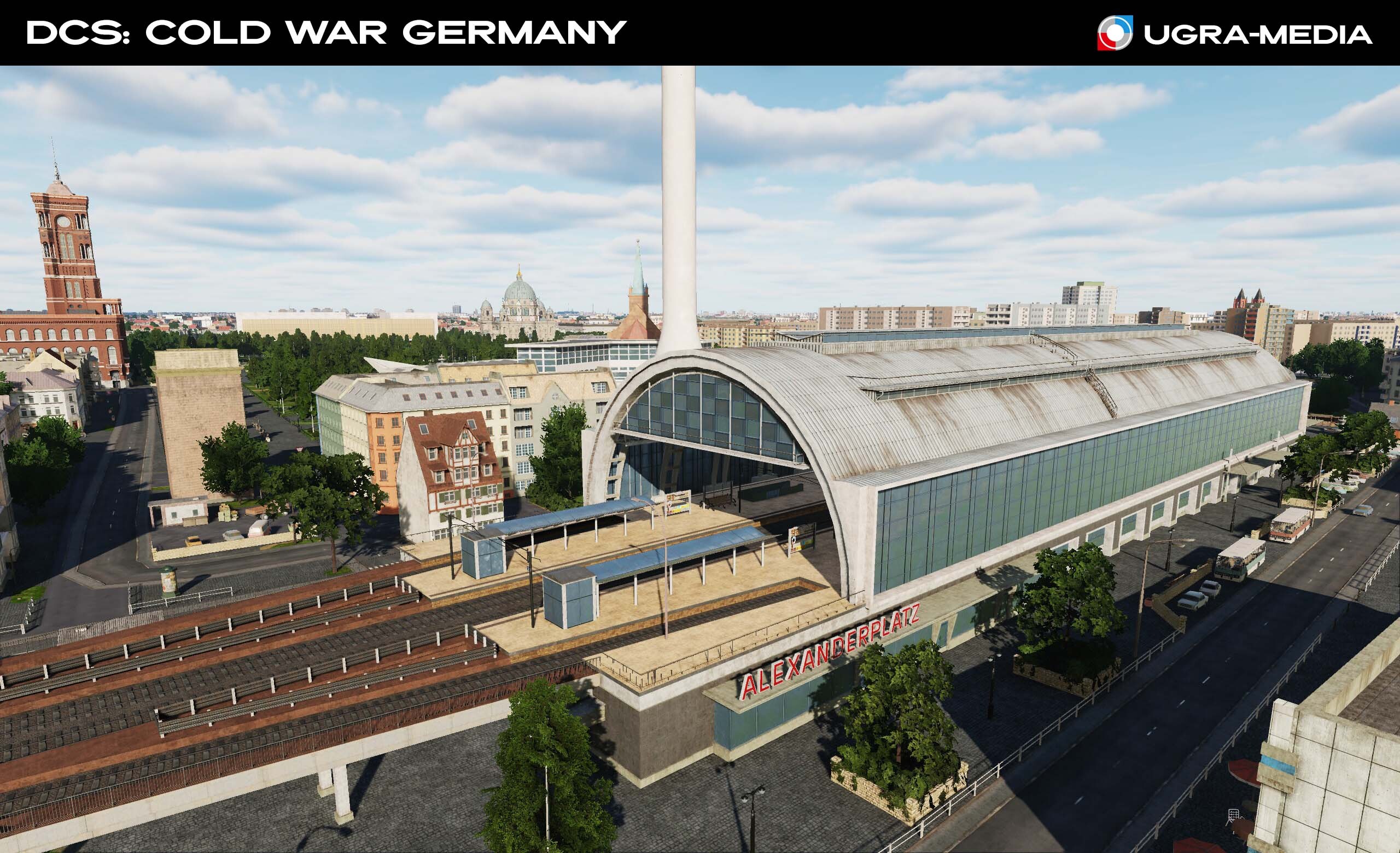
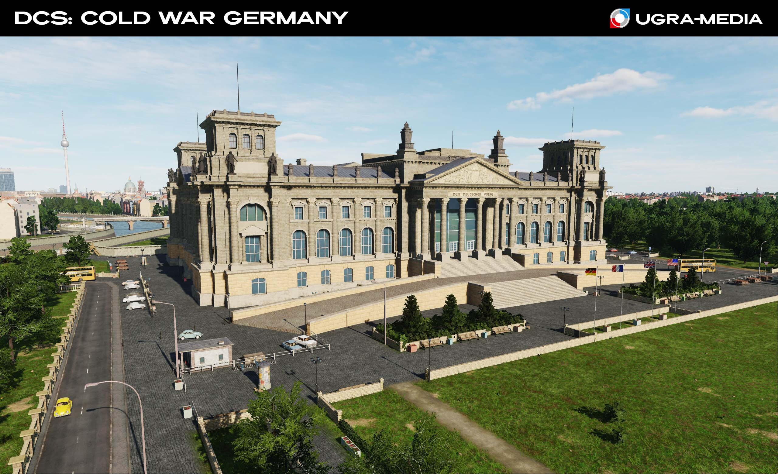
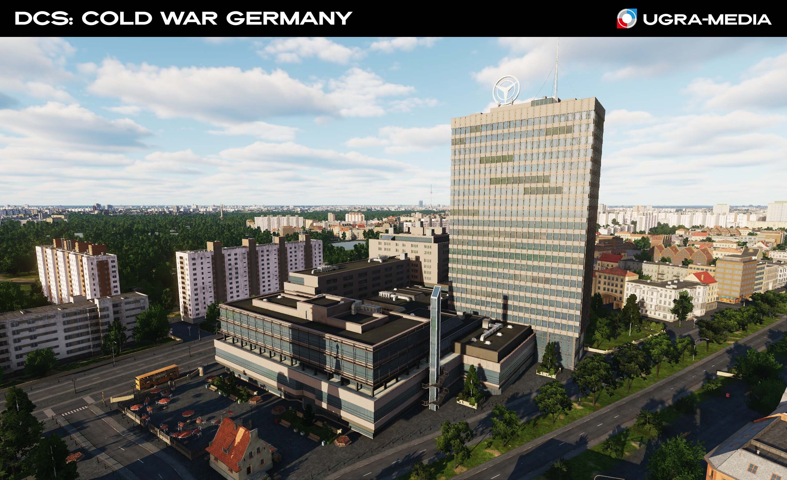
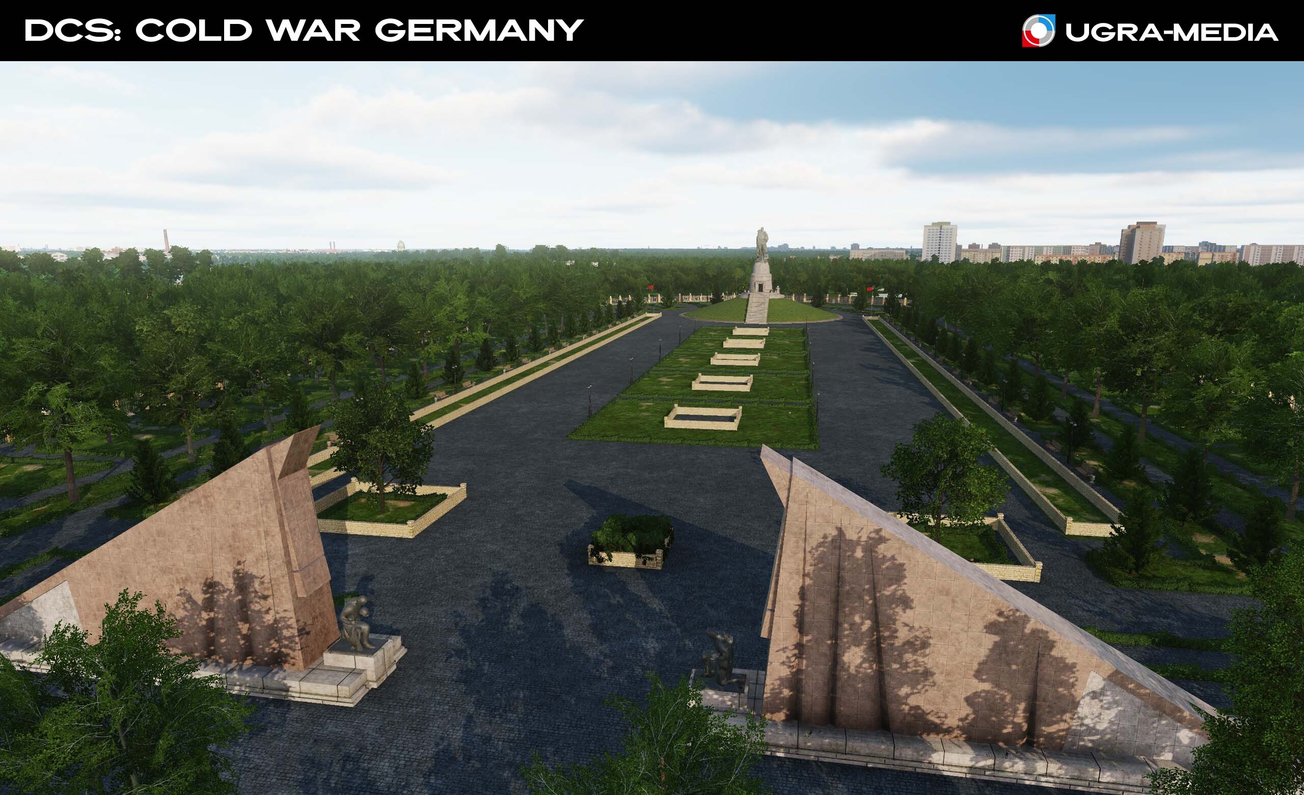
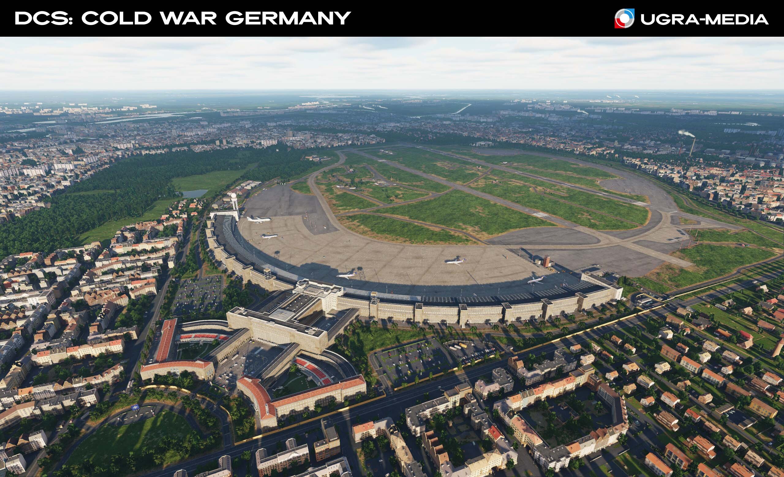
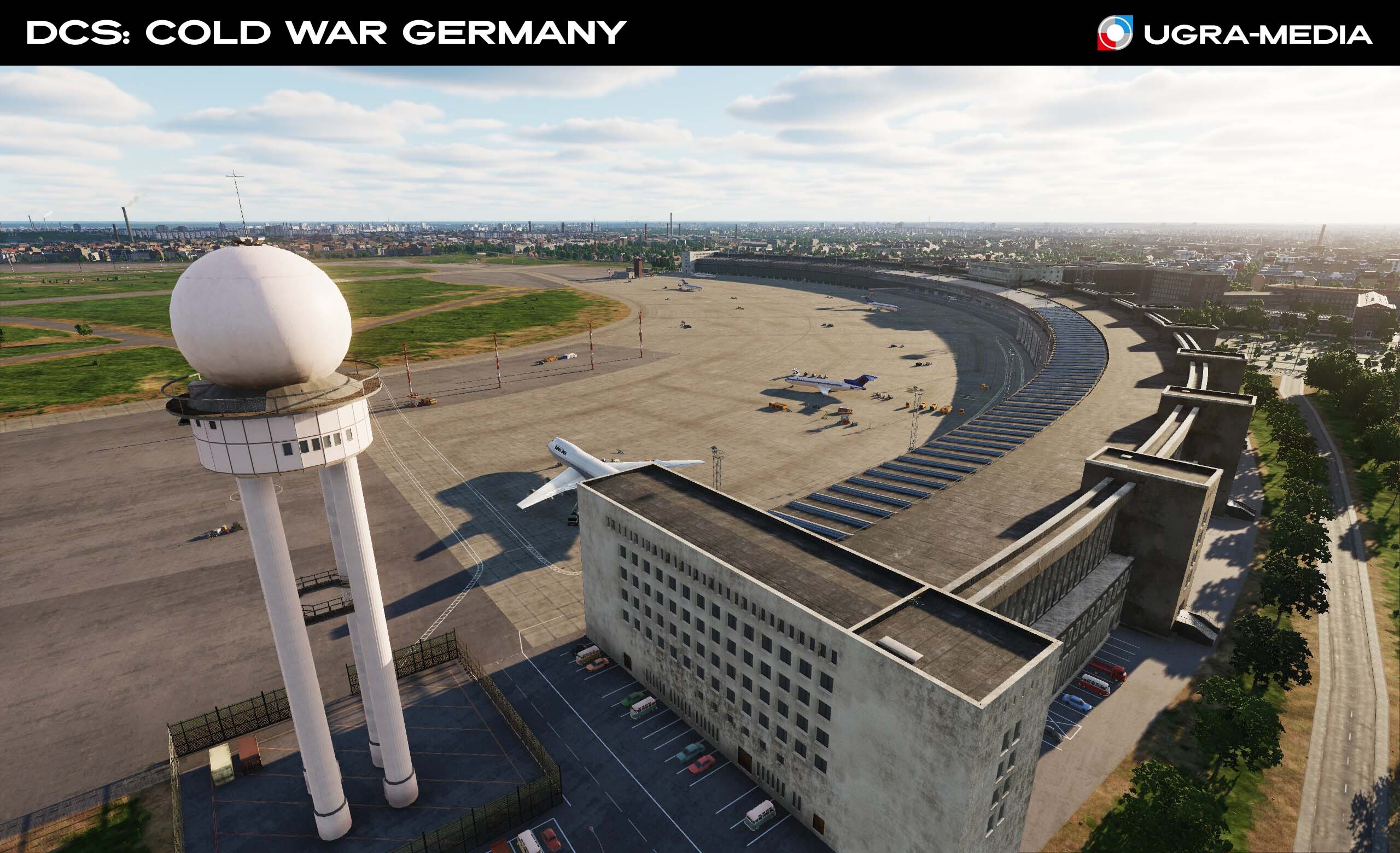
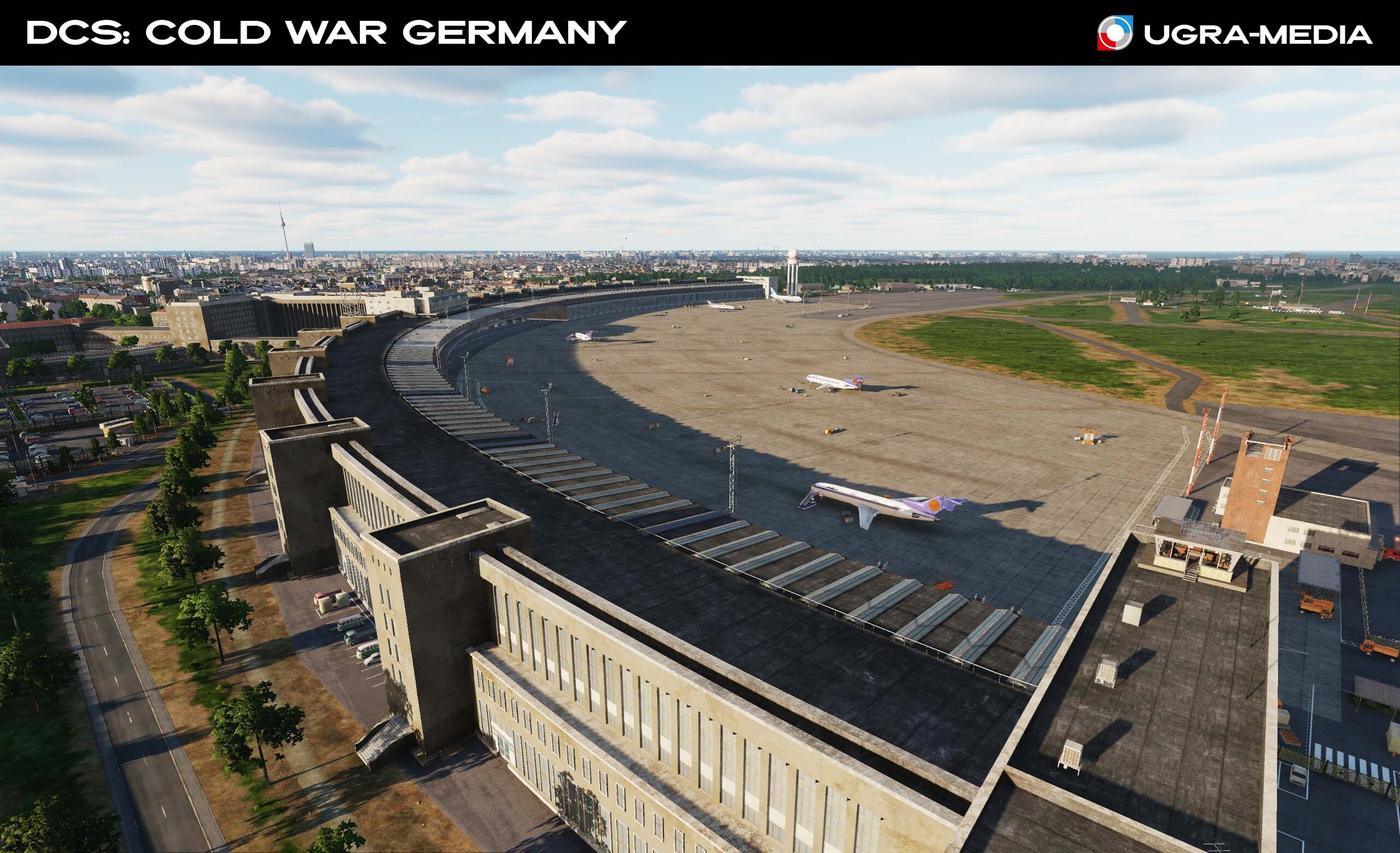
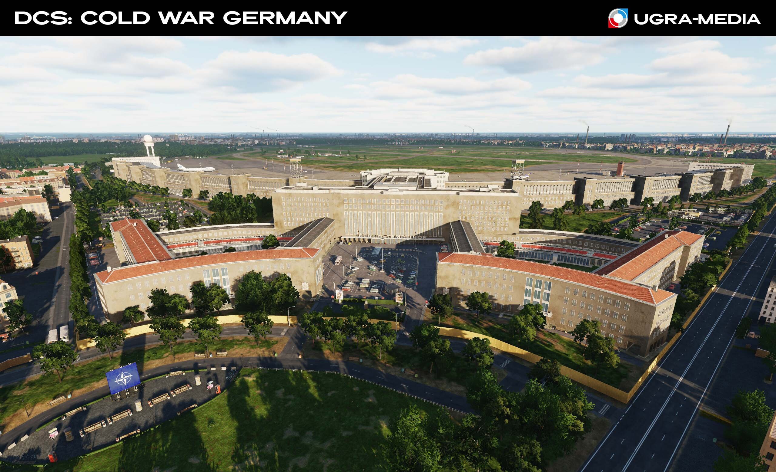
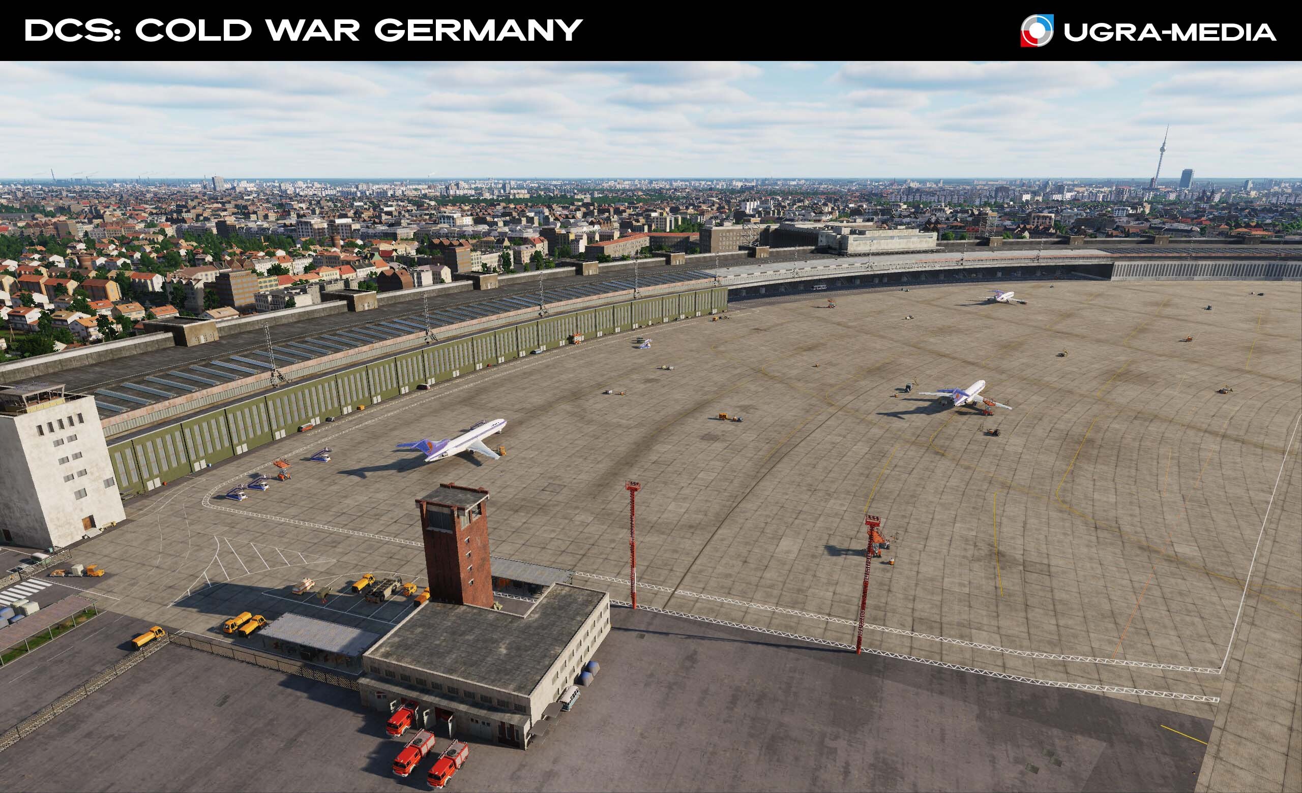
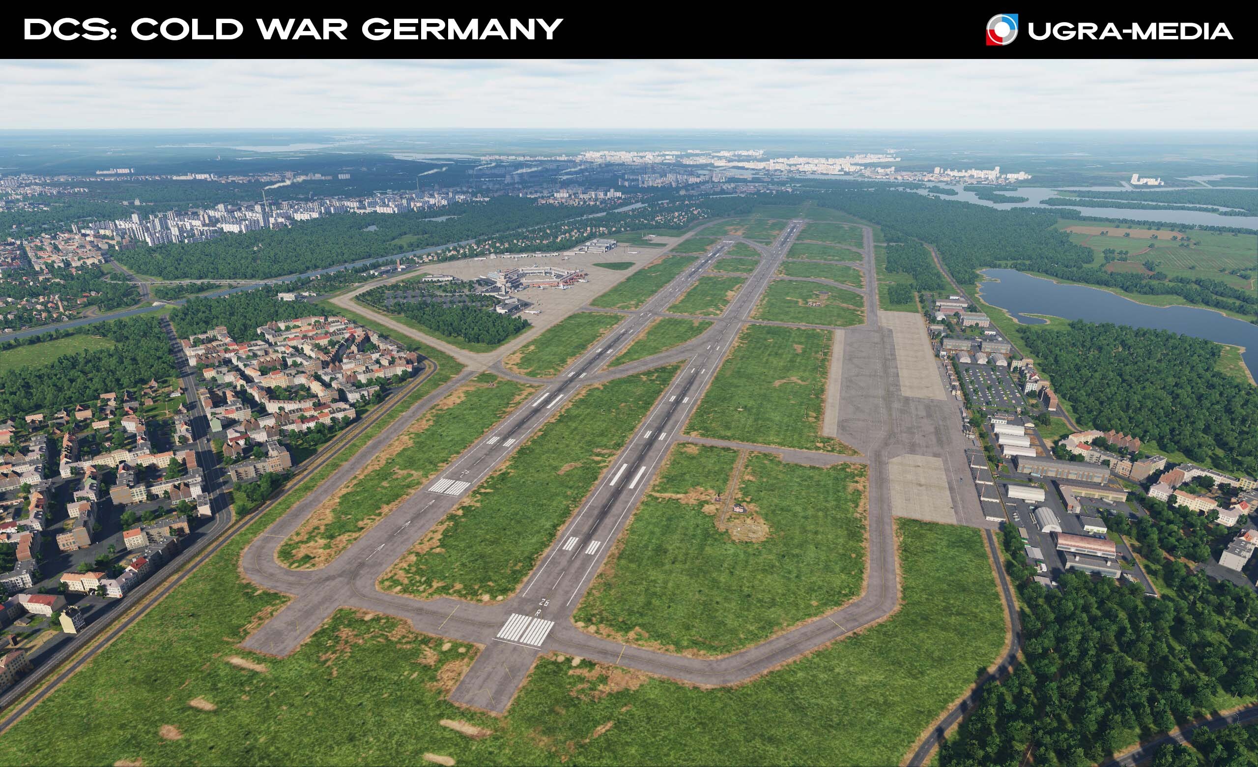
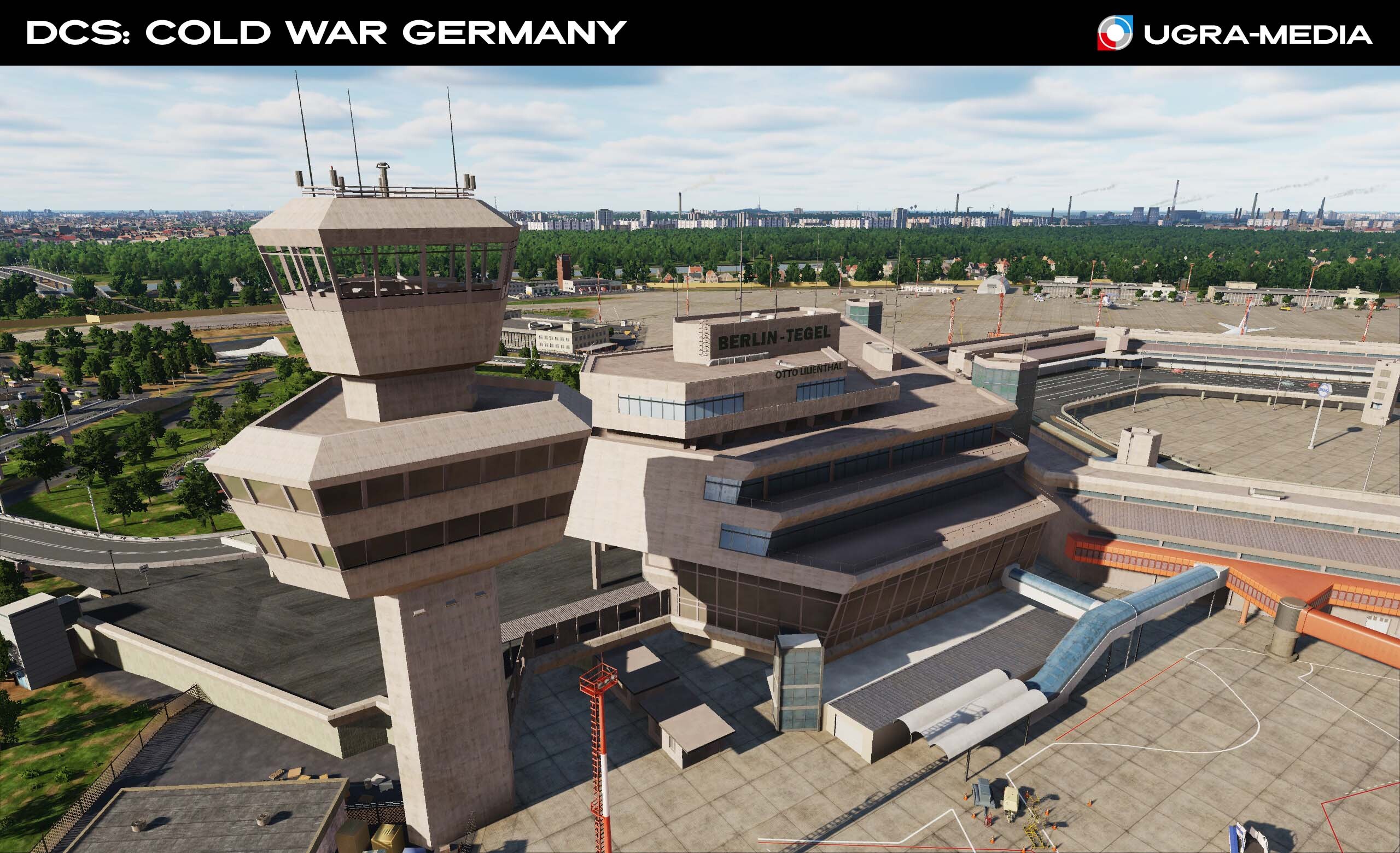
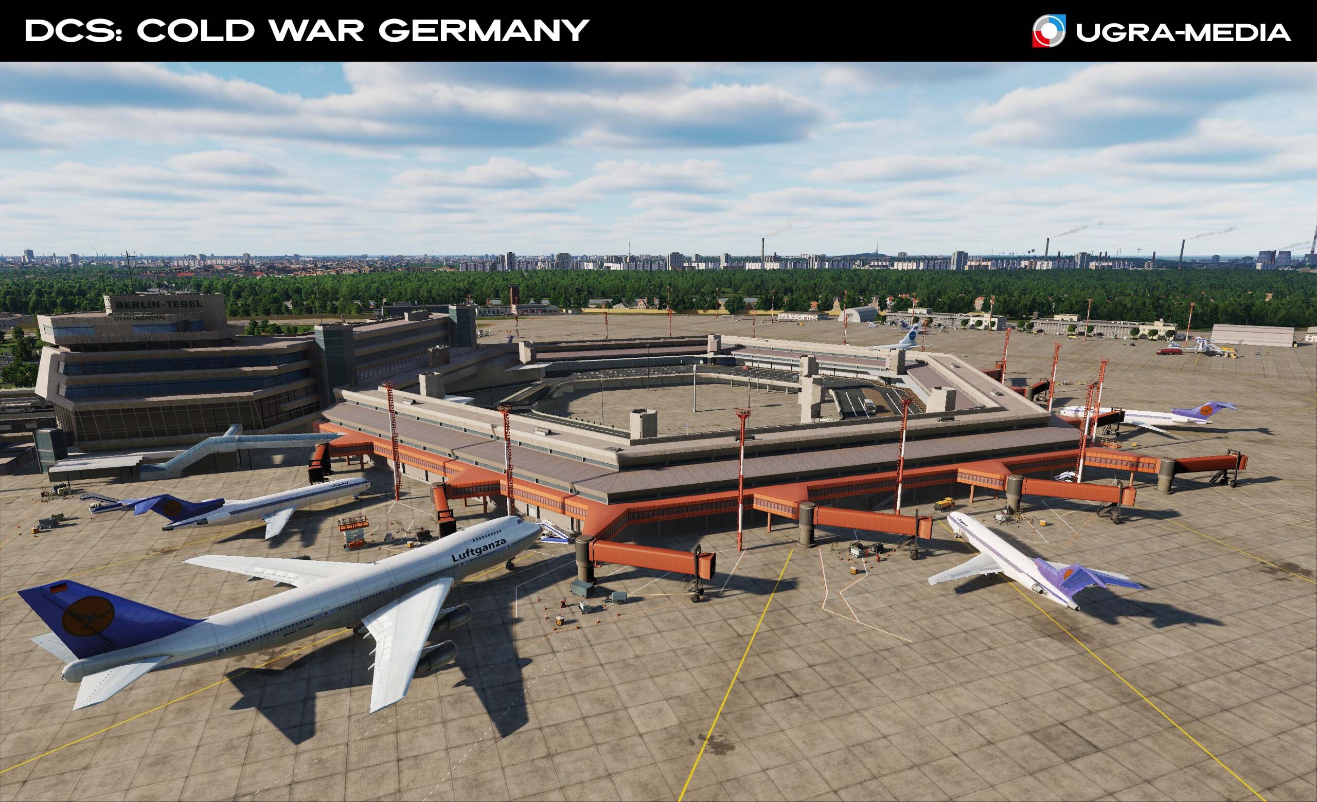
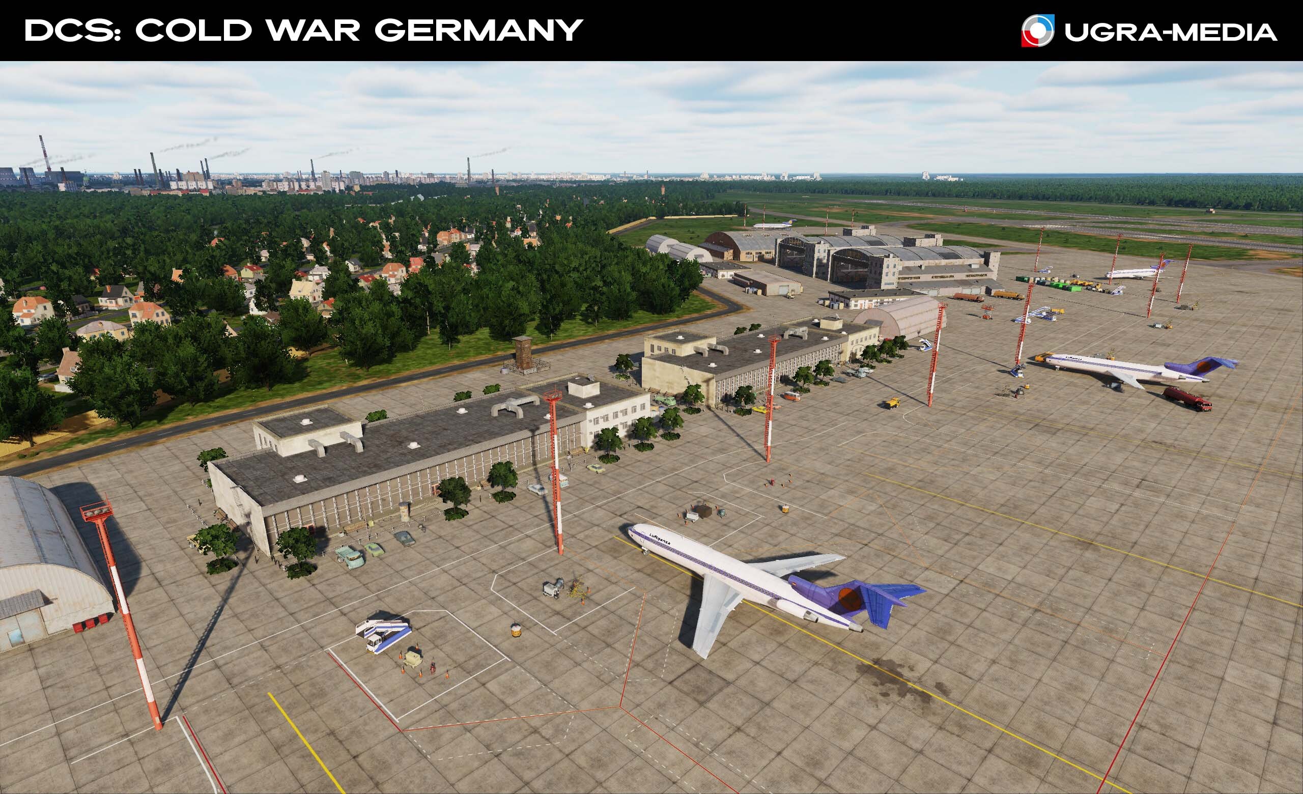
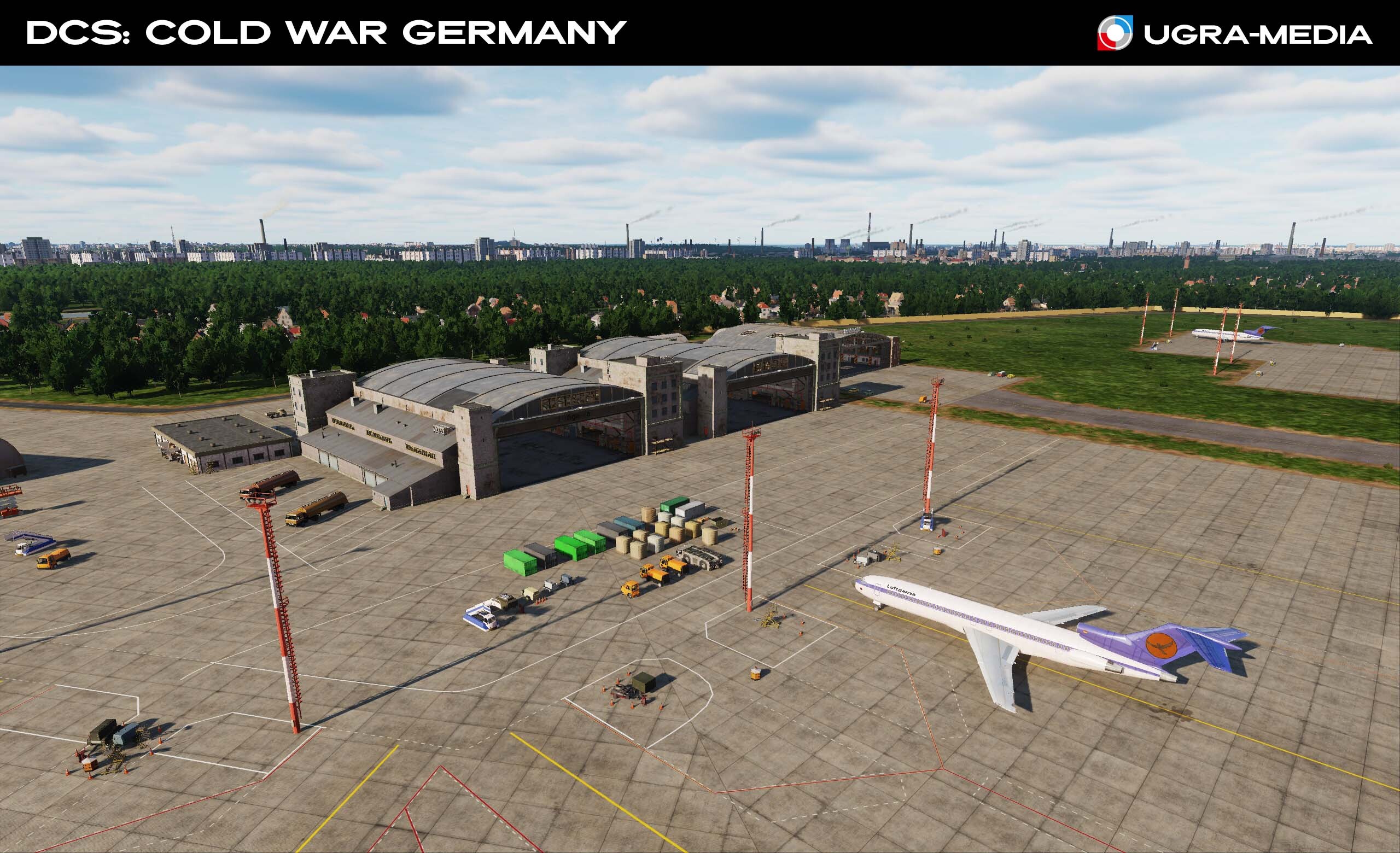
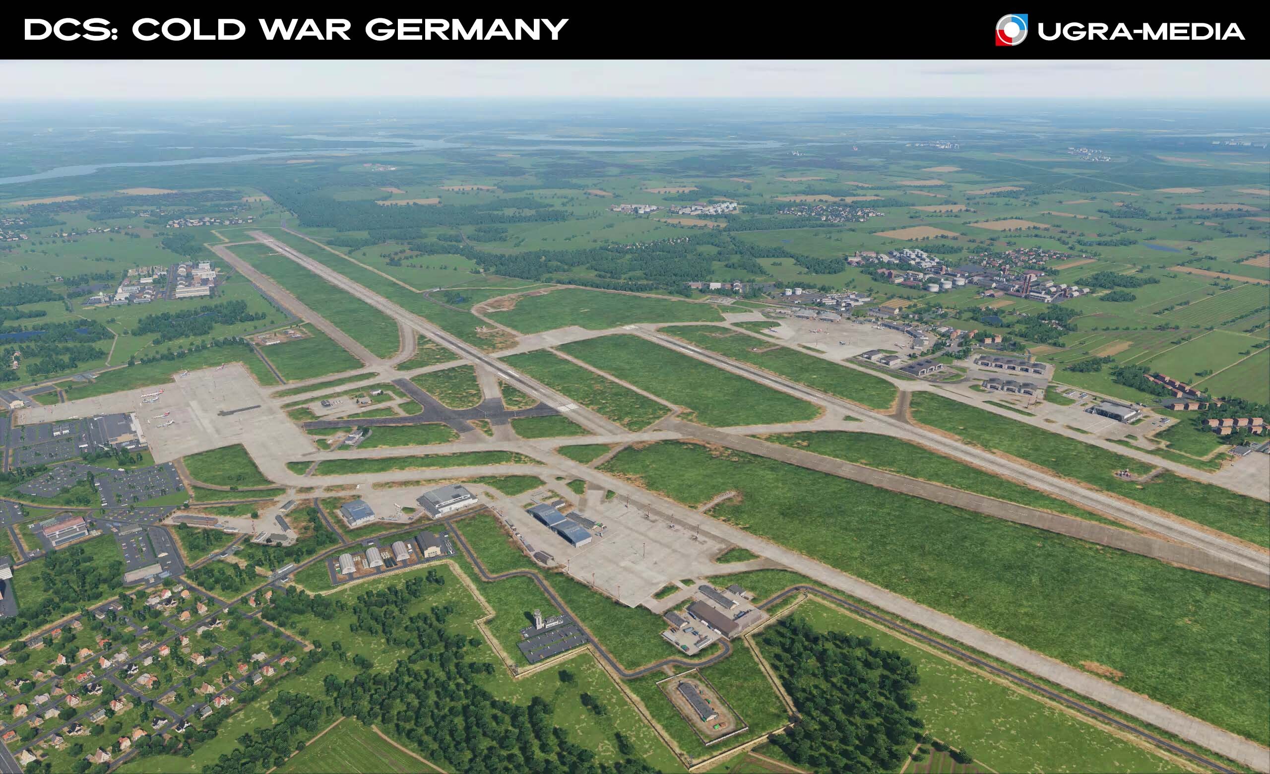
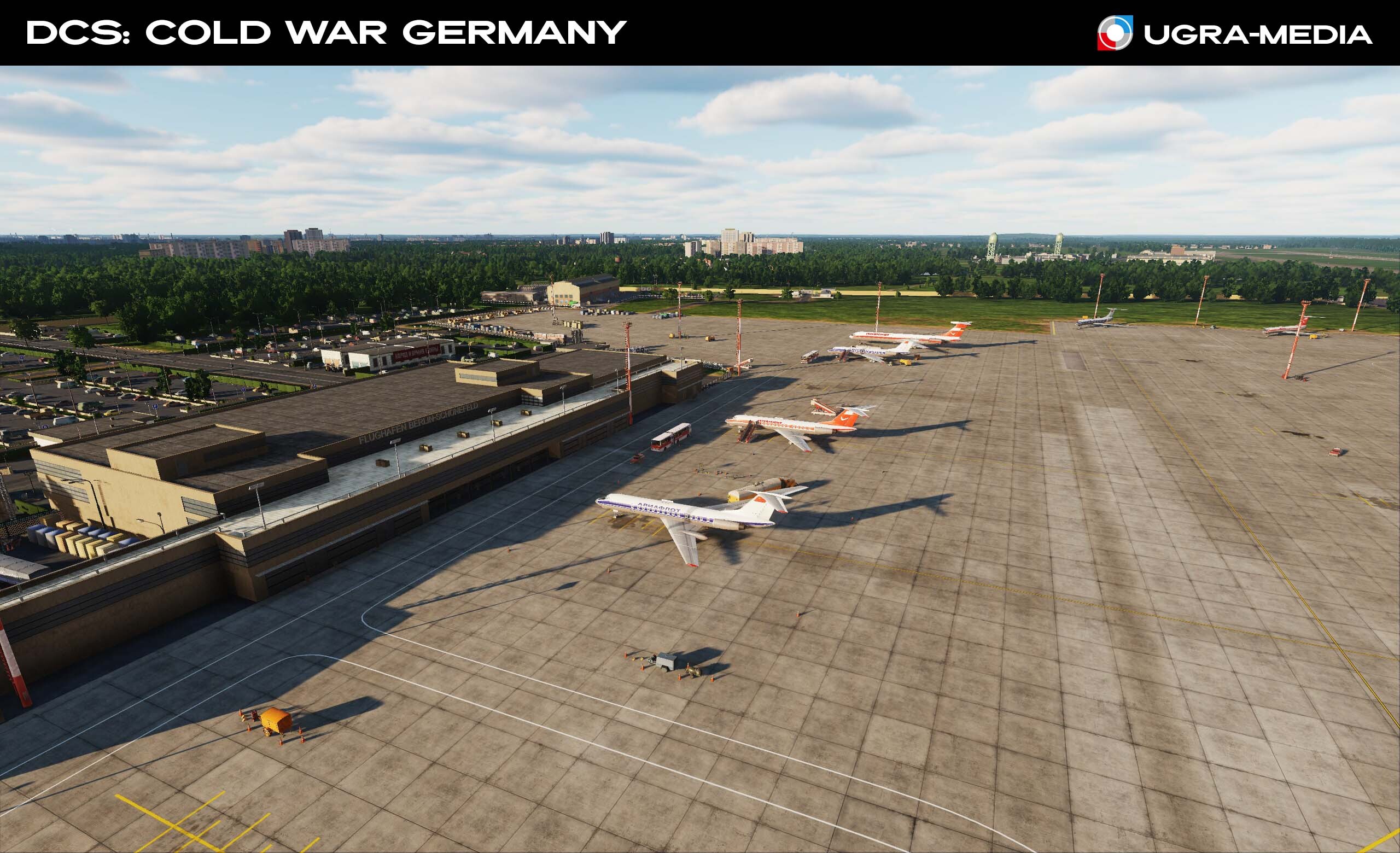
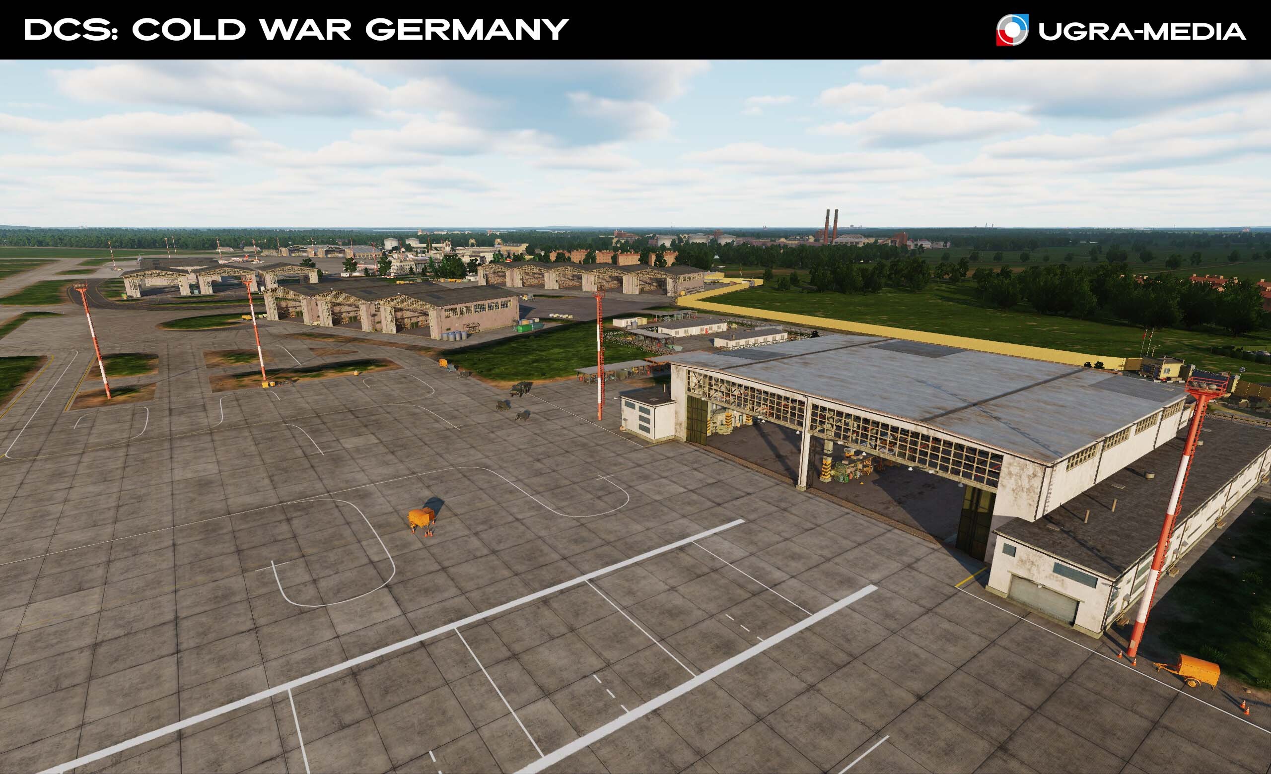
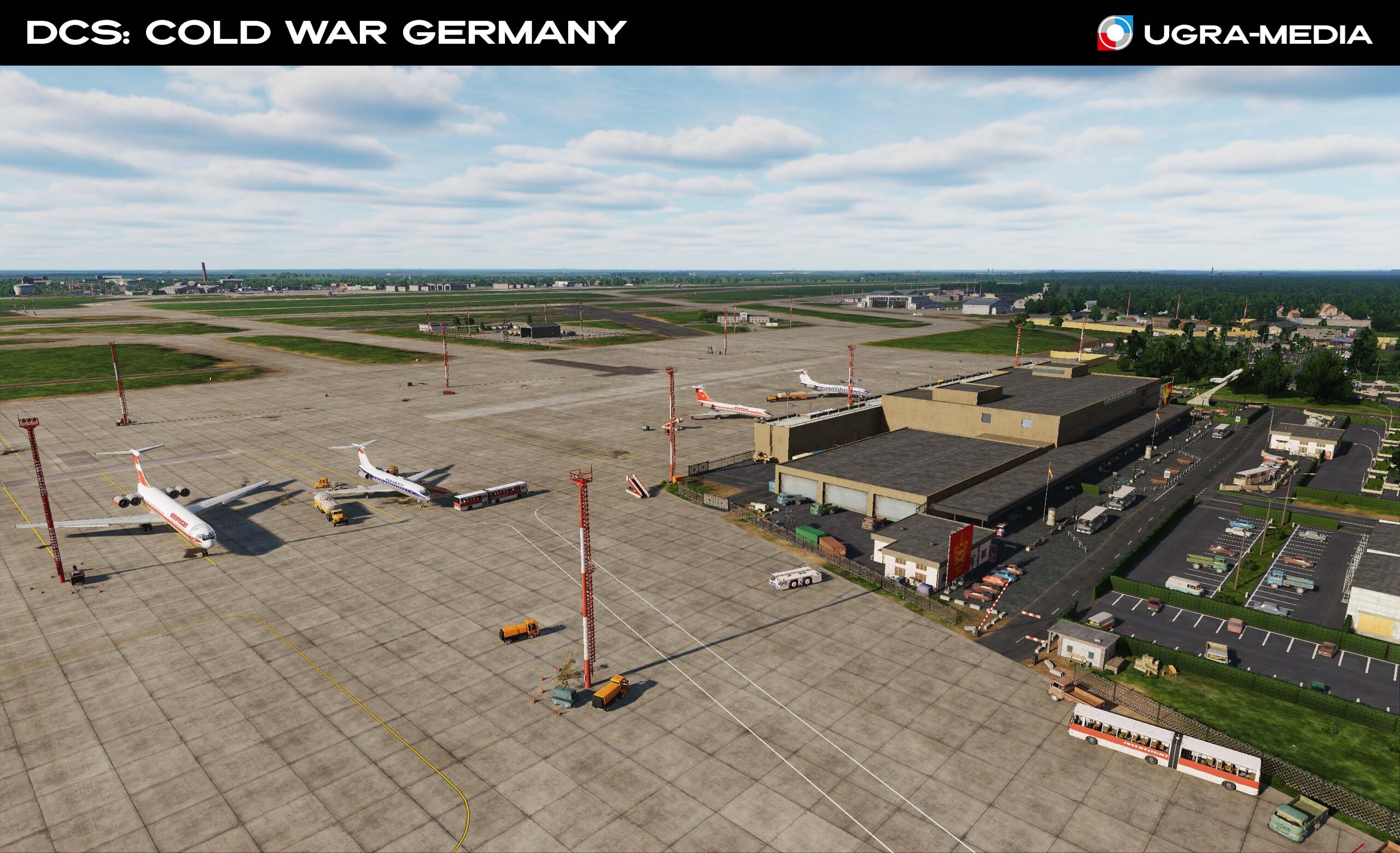
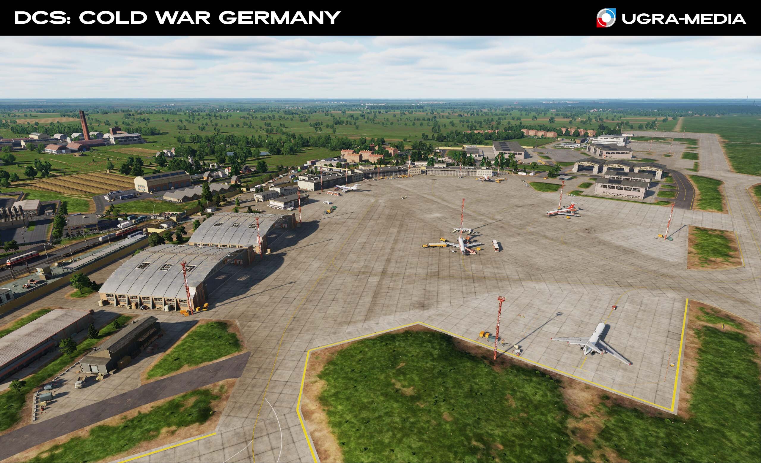
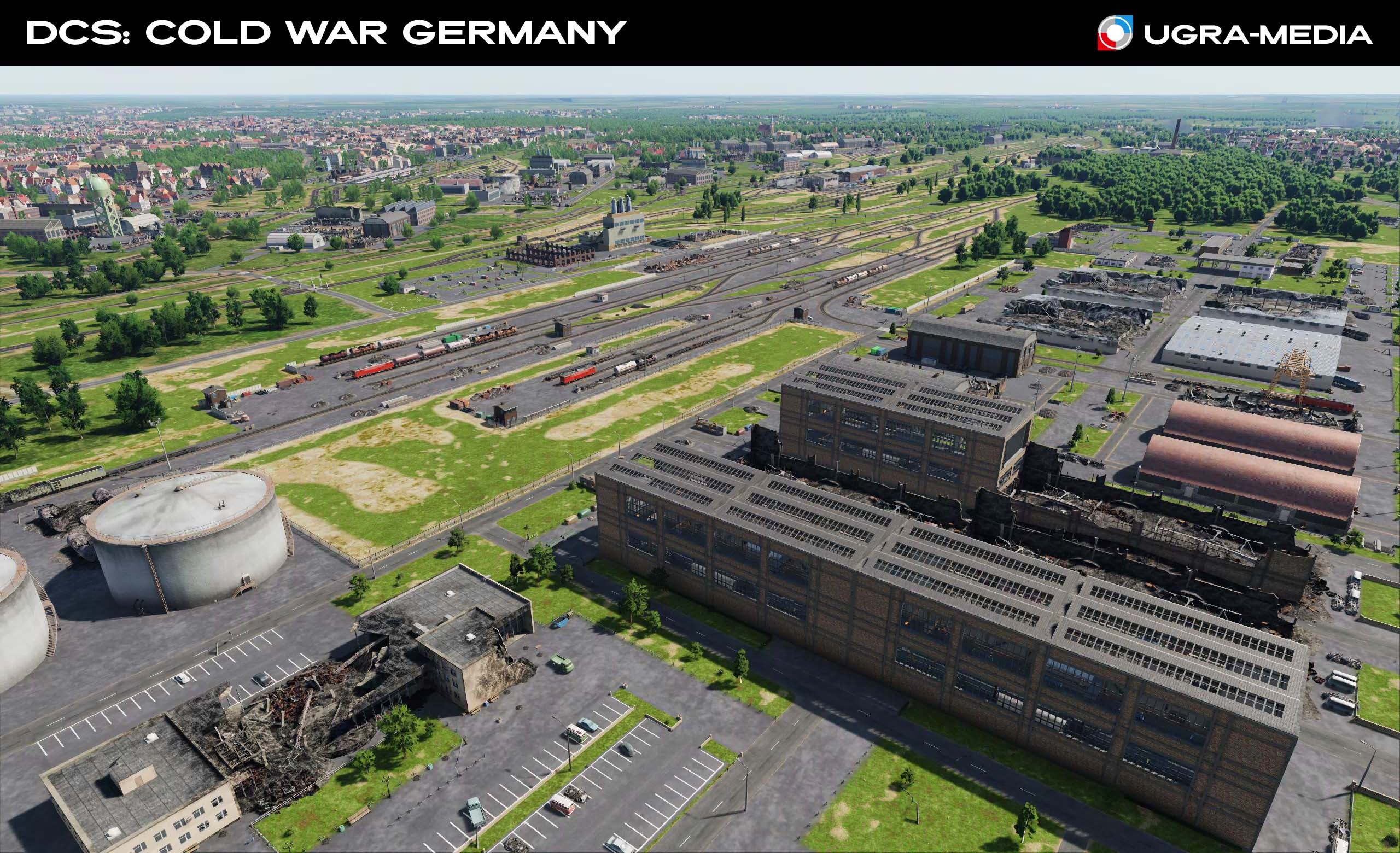
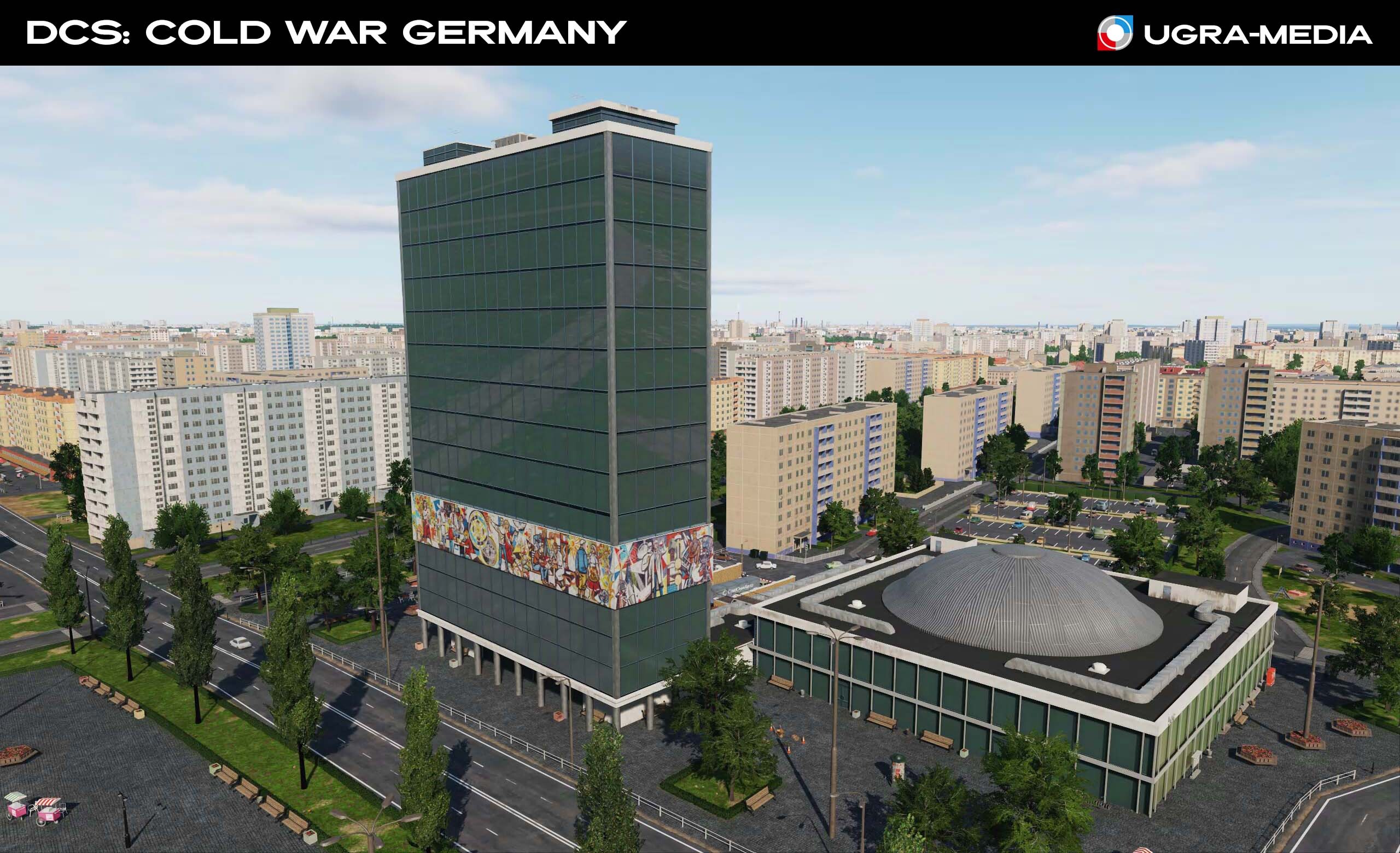
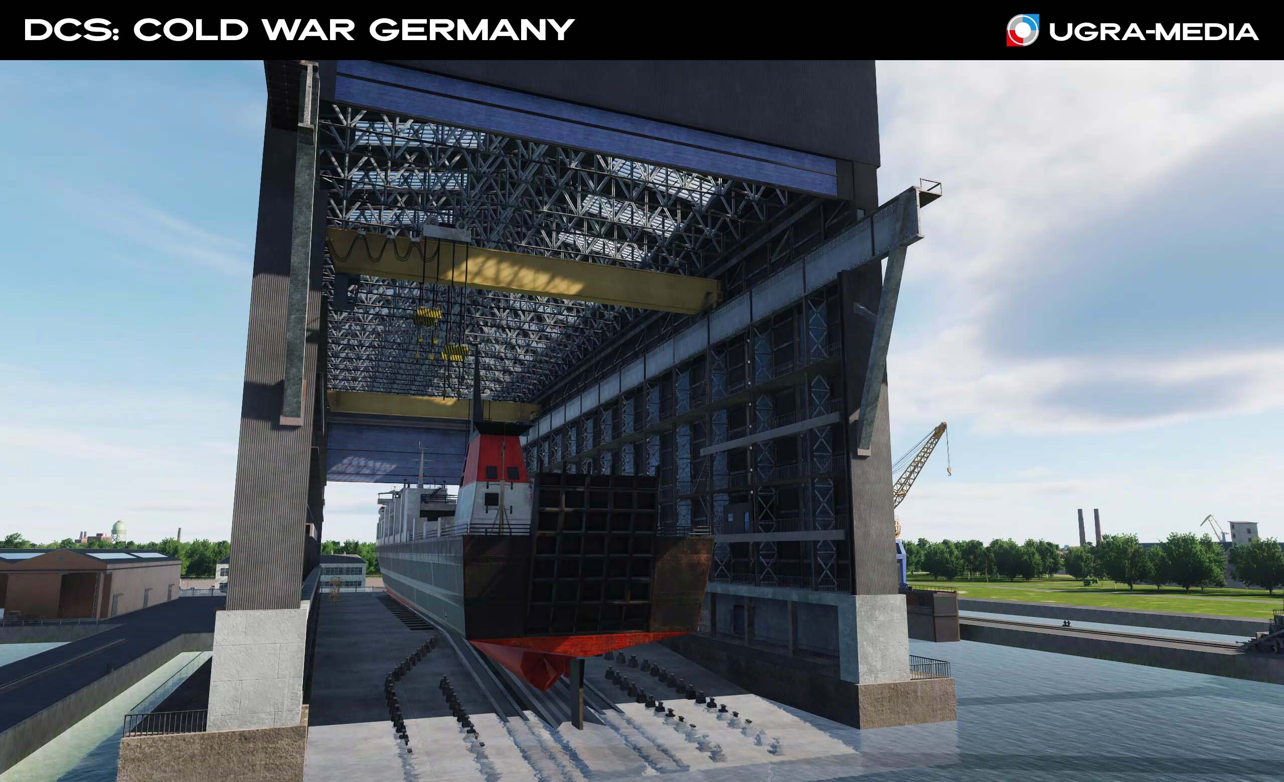
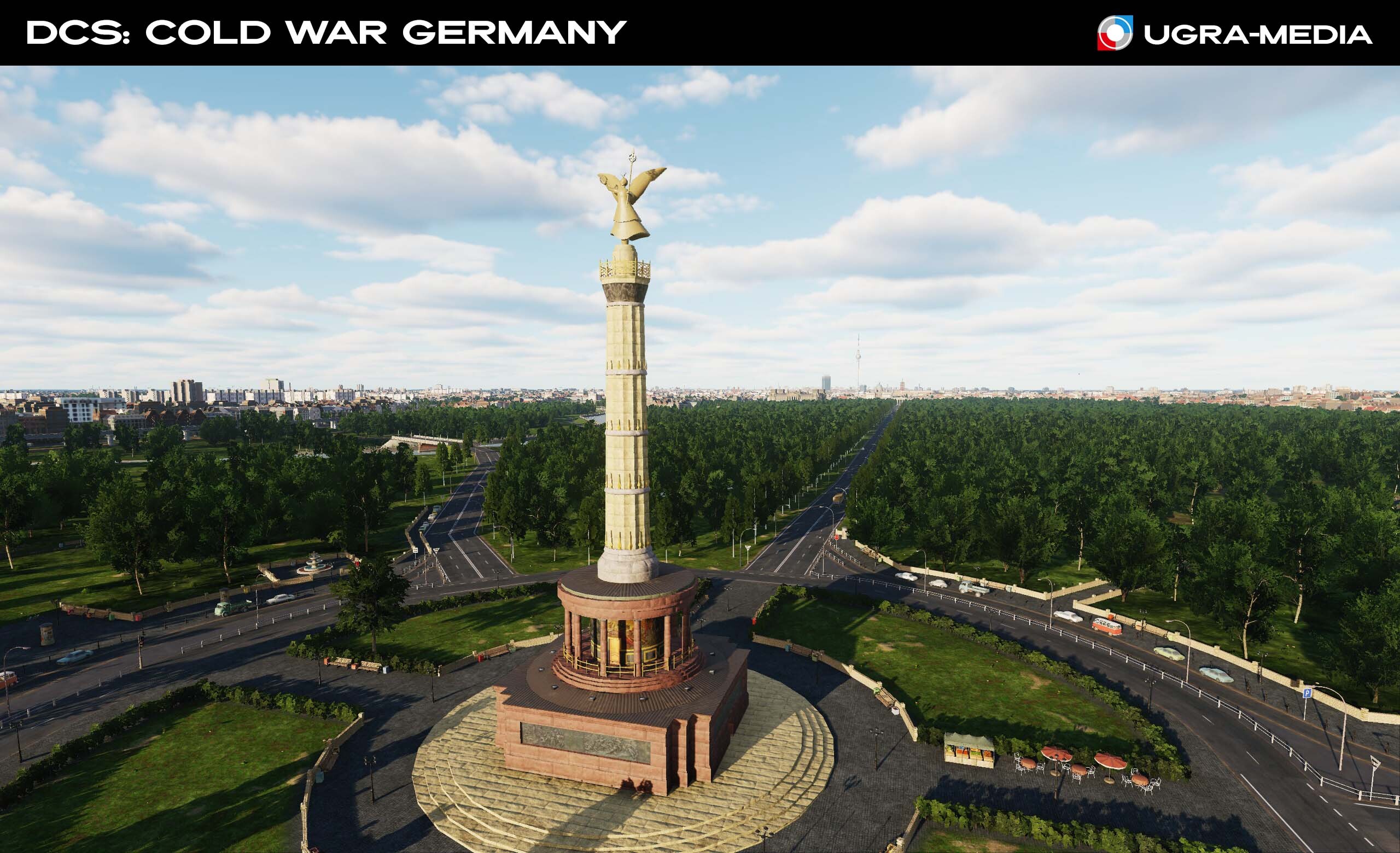
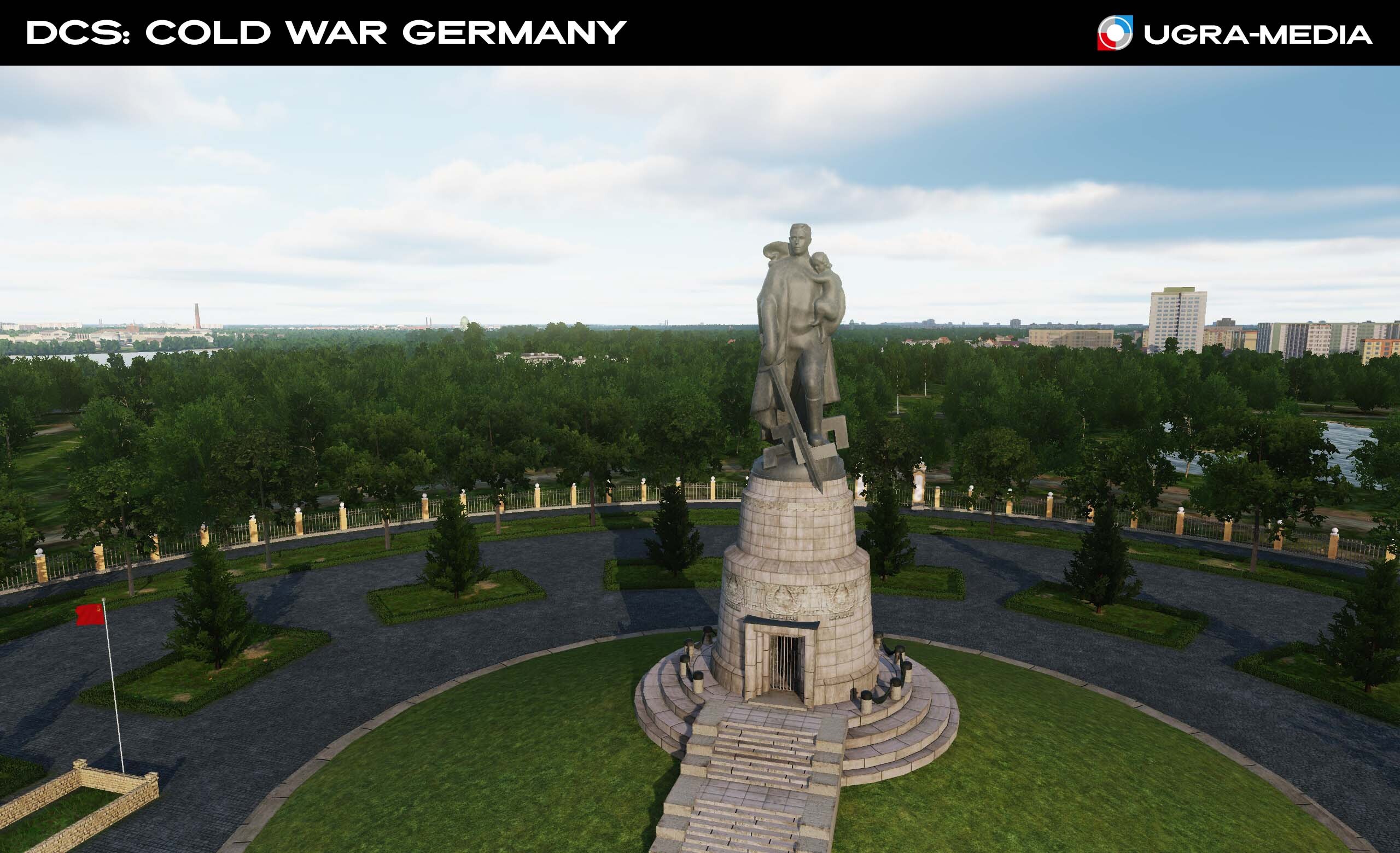
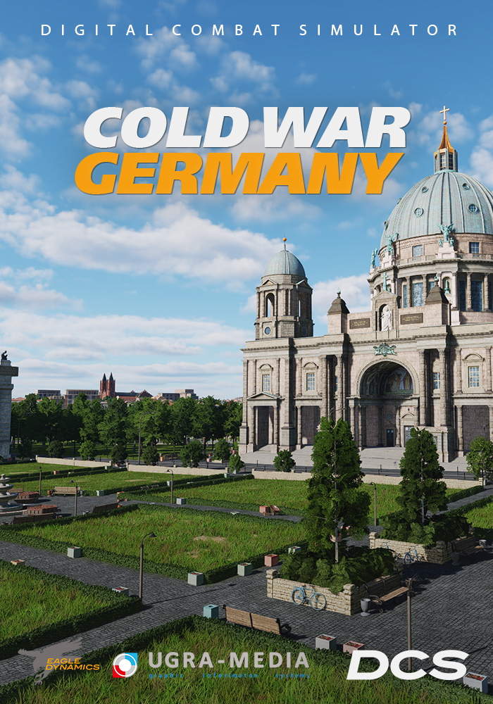
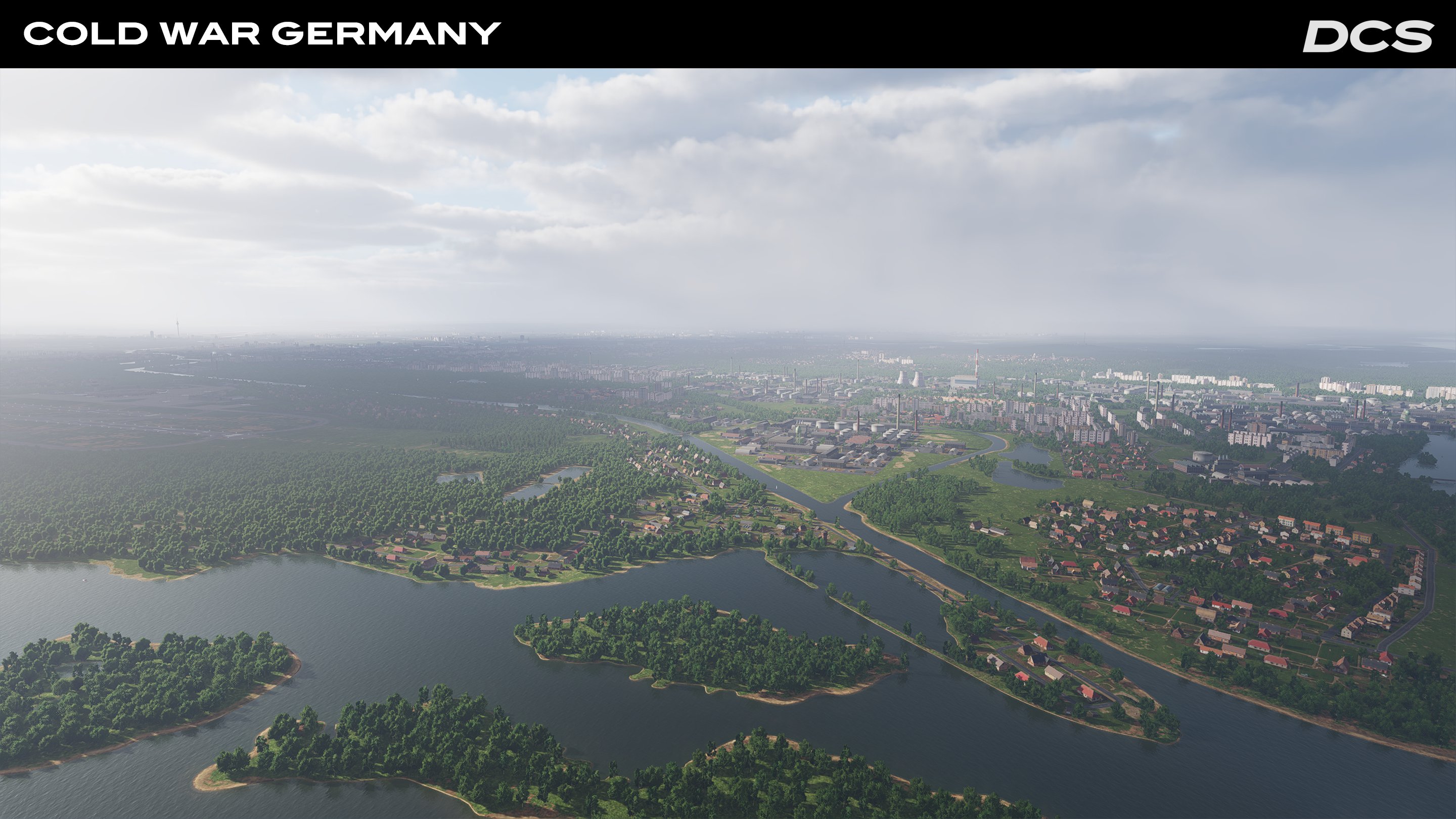
Our partners Ugra-Media have been working hard on the DCS Cold War Germany map lately. Based on community feedback, the map border has been slightly tweaked, and new locations added. This includes new cities and border checkpoints, key Cold War locations, detailed road and rail networks, historically accurate airfields and improved environments. During internal playtests, the Ugra team checked the navaids and airfields, ensuring that each airbase was ready to receive historically accurate aircraft. Extensive rendering optimizations have been made to ensure consistent performance in large missions.
What's working now and next steps?
Ugra is currently focused on testing and preparing the map for release. This includes checking airfields, roads and terrain, and translating names into different languages. In the meantime, the colour palettes are being fine-tuned for time of day and all weather conditions. Additionally, Following initial Community feedback, Ugra has significantly improved the map, adding more air defense sites, new locations, original objects, and POIs such as quarries in Leipzig. Looking beyond this early access release, further testing and performance optimisation for high object density areas will be the focus to ensure stable frame rates in both single-player and multiplayer scenarios.
Significant milestones and moments to share
One of the milestones worth highlighting to recreate the diversity of Cold War-era missions is the near completion of historical airfields with accurate taxiways and ground structures. Ugra-Media has used historical sources, and where information was lacking, they have also relied on the memories of the people who served at those air bases to add authenticity and detail. Due to the exceptionally high degree of object detail, quantity and diversity, Ugra has been very careful about memory limitations, requiring constant vigilance to stay within the limits of DCS. Overall, these developments bring them closer to presenting an exceptional map that depicts Germany in the 1980s.
“We appreciate your patience and look forward to sharing more milestones. Stay tuned for the release, coming this April!”
No other location better exemplified the Cold War between NATO and Warsaw Pact forces than the “Iron Curtain” separating East and West Germany in the 1980s. Massive forces were arrayed on both sides of this heavily fortified frontier that witnessed so much for so many years. Ugra-Media has recreated this pivotal “what if” scenario with a level of excellence and detail far greater than ever before.
This 980x800 km map includes the varied terrain of the rolling hills of southern Germany, the flat northern European plains that served as the corridor to countless historical battles, and the coastlines of the Baltic Sea. The low-level terrain detail makes this map a must have for attack aircraft and helicopter pilots who just love flying at tree-top height.
Early Access Launch
Phase 1 will include 59 military airbases, 4 heliports, 27 general aviation airstrips, 40 pre‑placed SAM sites, and summer textures.
Early Access Development
Phase 2 will add 10 additional airbases along with spring and autumn textures.
Phase 3 will add 51 more airbases, winter textures, and the Cold War Assets Pack.
For a closer look at Ugra’s developmental efforts, check out their Cold War Germany FAQ
Pricing
$55.99 USD at Early Access release (live today).
$69.99 USD following the release of Phase 3. Purchase now and save.
Install & Performance Checklist
Drive space: 205 GB total (Phase 1 download ≈ 110 GB).
Recommended: 32 GB of system RAM and 8 GB of graphics card VRAM.
Map Highlights
Buildings come with destruction states.
All East German bases feature authentic RSBN navigation beacons.
Densely placed ground objects throughout the map, but important areas are left open for mission builder object placement for costume scenarios.
Detailed SAM and AAA sites are scattered throughout the map and co-located with many airfields that can be populated with your air defenses of choice.
Why Fly It Now?
Whether you’re loitering over the “Fulda Gap” in an A-10, punching through clouds in a Fulcrum, or stalking tanks in a Hind, the DCS: Cold War Germany map offers a new and exciting canvas to experience your DCS aircraft.
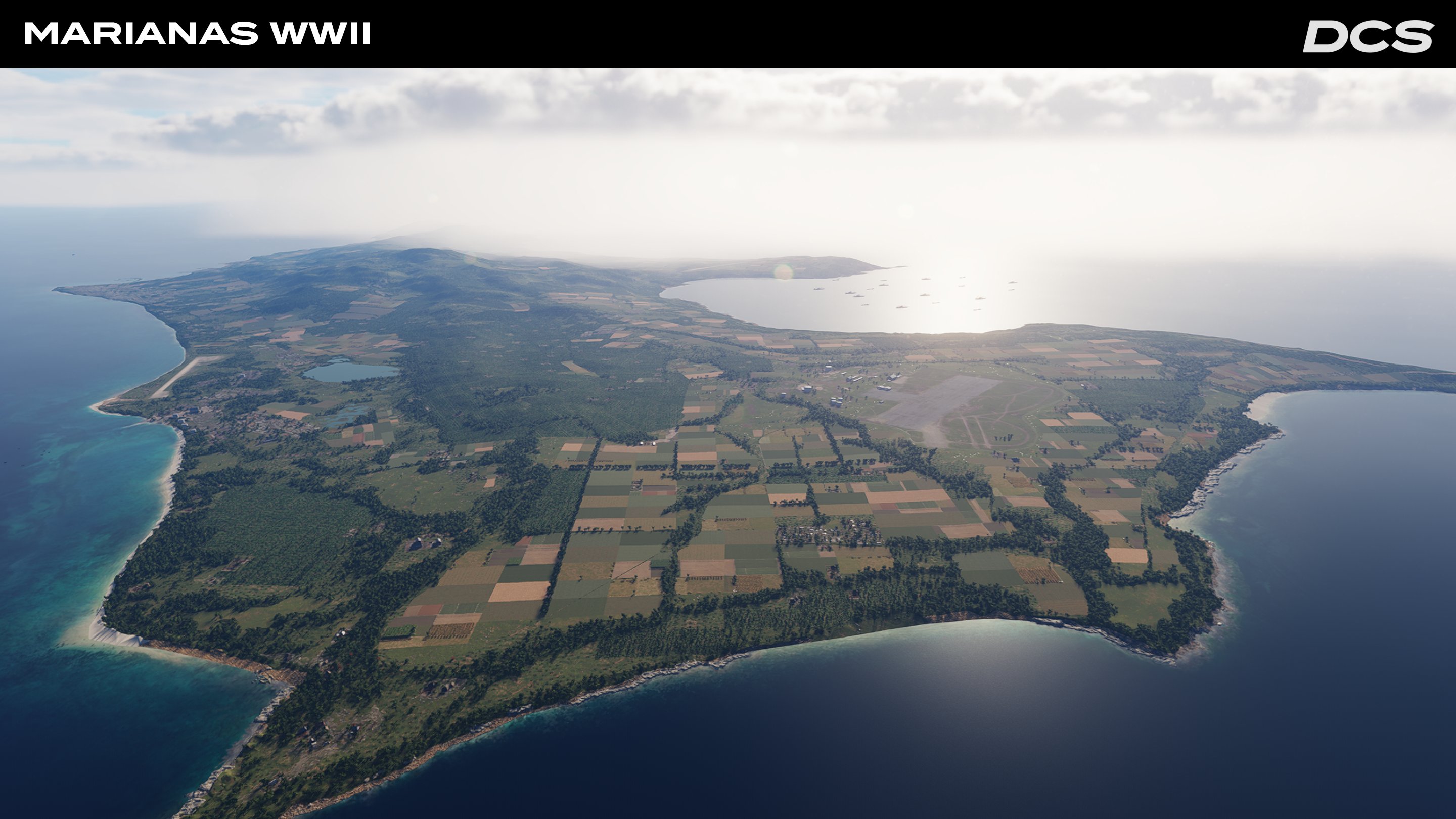
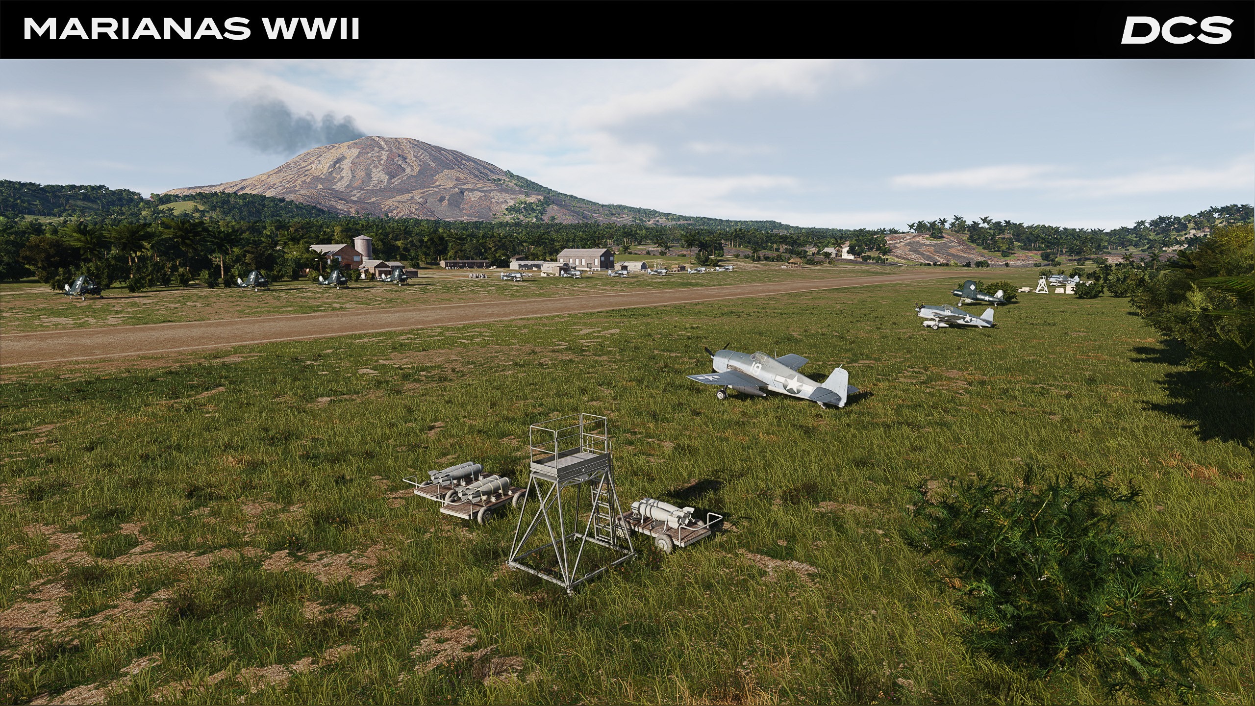
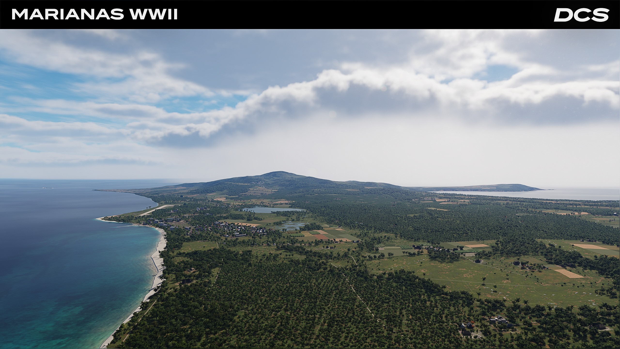
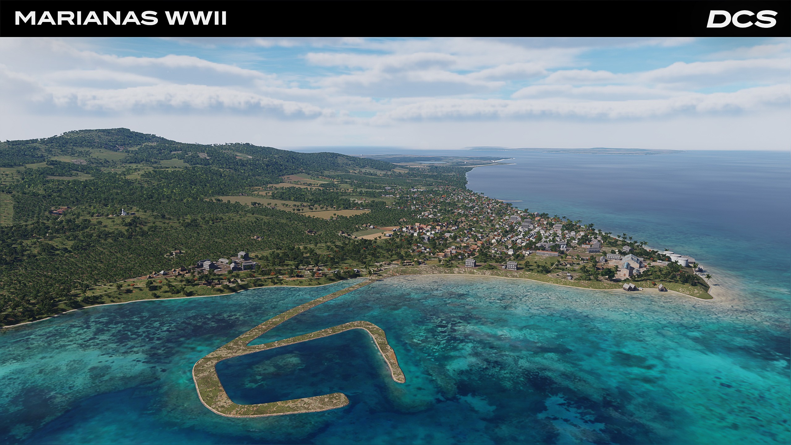
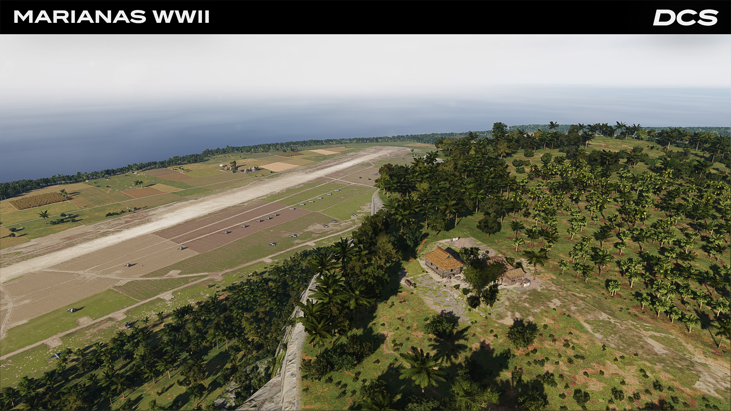
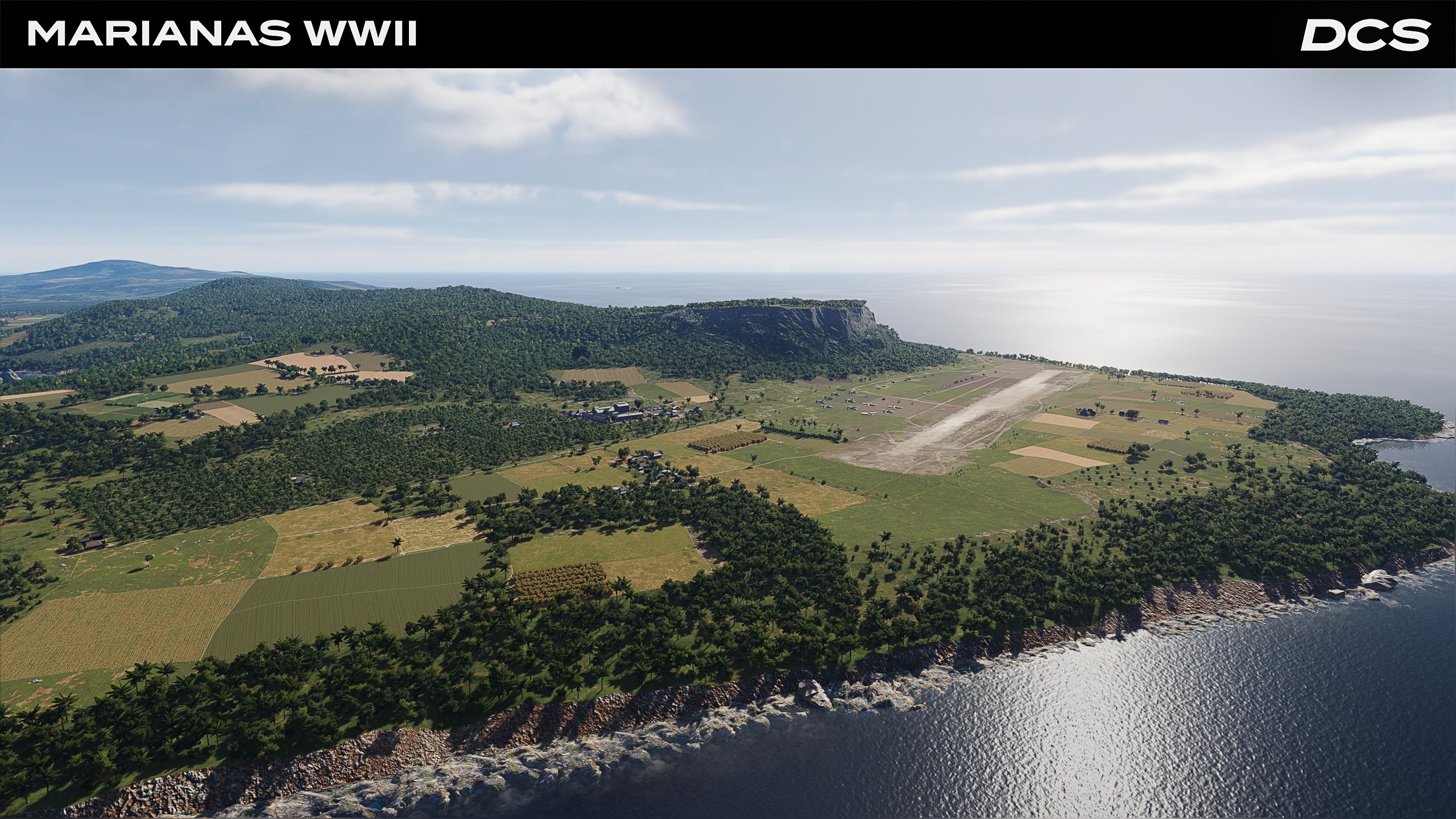
Marianas 1944 and the smell of the Pacific blue is on the horizon! After months of meticulous island-hopping, our World-War-II rendition of the Mariana Islands has reached release-candidate status. 1944 Saipan, Tinian, Guam, and their sister islands now bristle with crushed-coral runways, Quonset camps, and shipwreck-strewn lagoons, ready for your Corsairs! We are progressing steadily and looking forward to releasing this free module very soon.
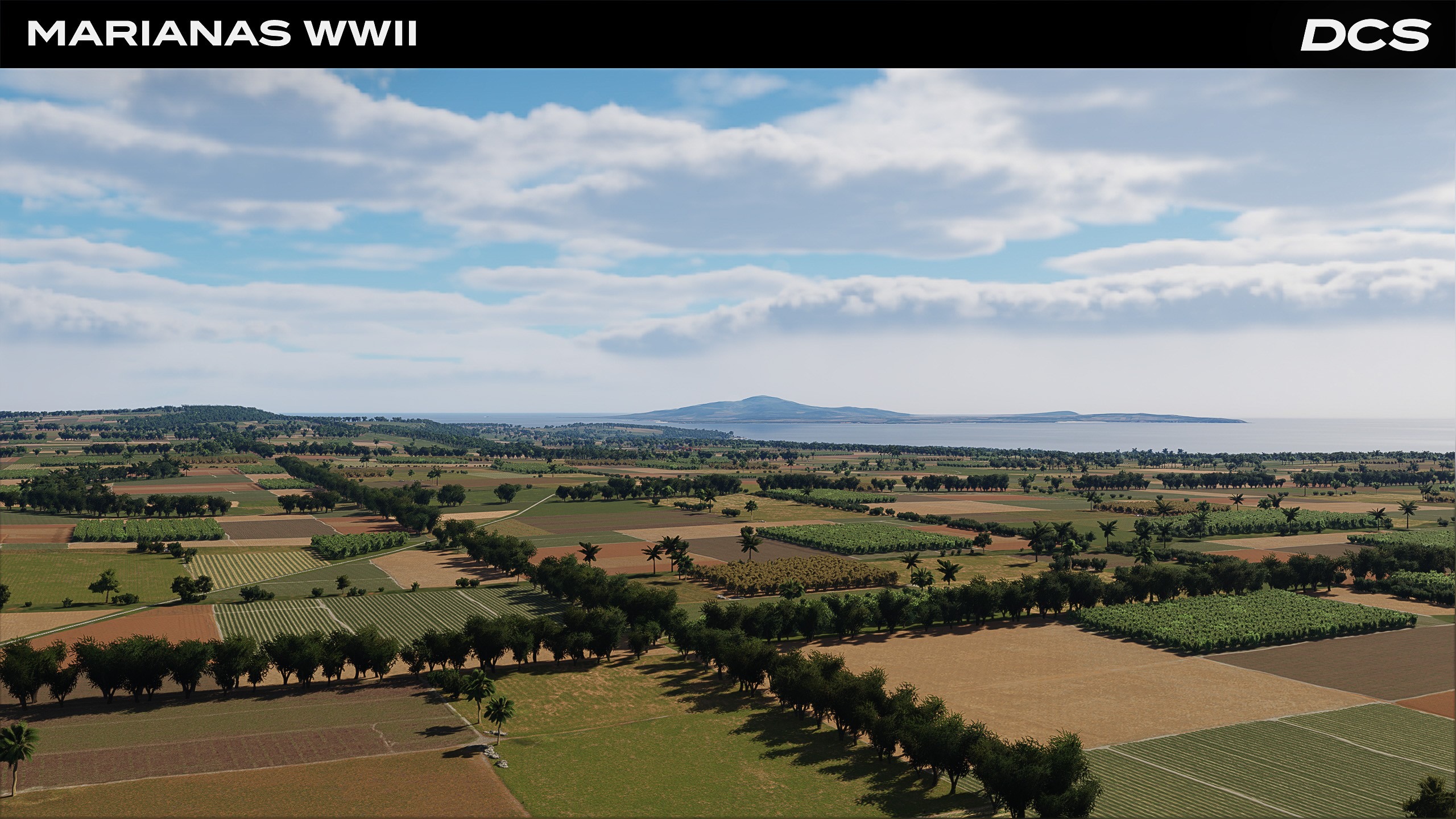
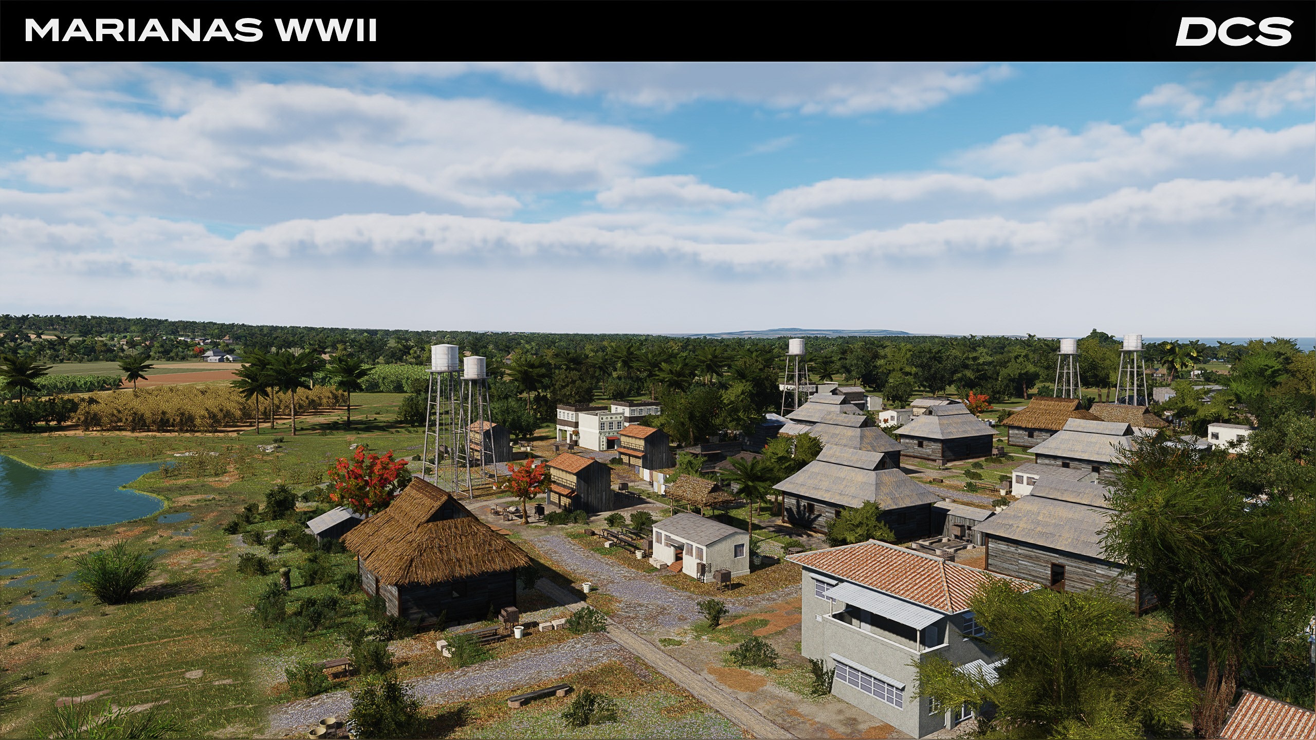
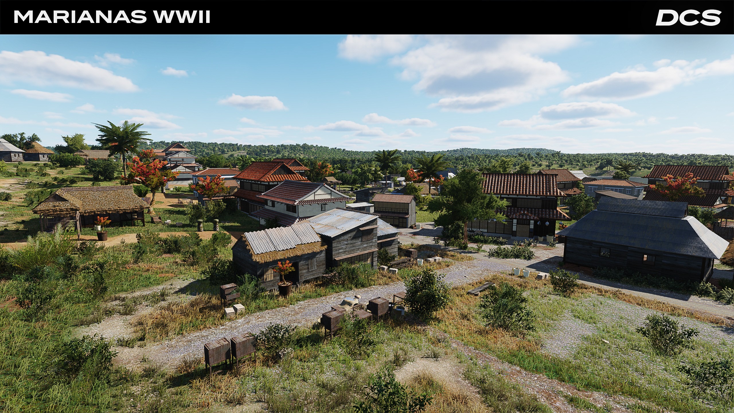
Over the past quarter, we finalized the core terrain mesh, completed eleven wartime airfields based on survey data, and replaced modern infrastructure with heritage structures, including barracks, cane presses, and Shinto shrines. Vegetation density was recalibrated to 1940s agricultural patterns, and new shader compiling has shaved nearly 20% off GPU load in over-island dogfights. The free Marianas 1944 map is now feature-complete and internal testing is nearing completion.
Currently, our artists are fine-tuning areas such as Ushi Point on Tinian and the Orote Peninsula based on 1944 field recordings, images, and footage. We are also working on mission content.
Looking ahead, our next milestone is to lock the build and provide a release candidate to our internal and Closed Beta testers. We will then conduct large-scale multiplayer stress tests and deliver the map into Early Access. Stay tuned!
DCS: Kola – One Year of Development - A Year of Crafting the Battlefield
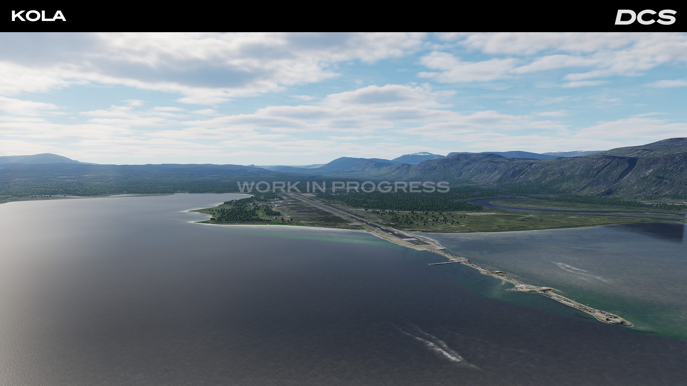
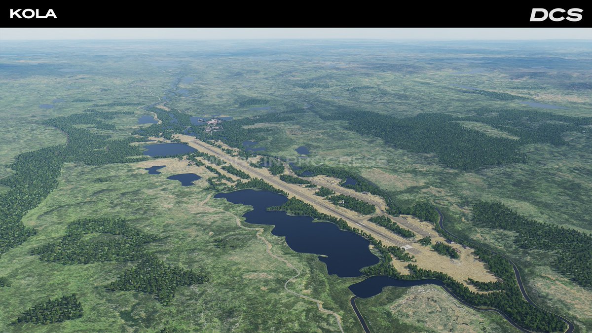
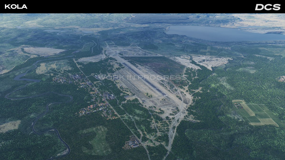
One year on, the DCS: Kola map continues to expand as a dynamic and strategically significant theatre within DCS. Developed by Orbx, a leading scenery developer, this map spans over 1.35 million square kilometers of Arctic and sub-Arctic terrain covering northern Norway, Sweden, Finland, and Russia’s Murmansk and Karelia regions.
Since release, the map has received substantial improvements; adding new airfields, infrastructure, visual improvements, and performance enhancements that have shaped it into the detailed and responsive environment it is today. Built for large-scale operations, the map blends complex infrastructure with fjords, tundra, forests, and mountainous zones layered with historical and modern-day military relevance. With more than 20 functional airfields, detailed ports, and key industrial zones already in place, Kola supports a wide variety of tactical scenarios.
End of Early Access – 22 July 2025
The Kola map will exit Early Access on 22 July 2025. This marks the formal end of the initial launch phase, but not the end of development. Orbx remains committed to ongoing improvements, with new content and technical updates already planned.
“The development of the Kola map is not ending with Early Access. We are committed to adding content and updating the map in line with the platform technical innovations. Orbx started to work on the map over three years ago and this has been a great project for us. We have learned much about DCS and will use that knowledge together with our passion for creating terrain and sceneries to enhance this map even further.”
— Anna Cicognani, CEO, Orbx
What’s Been Delivered
1.35 million km² of land and sea coverage
20+ airfields with surrounding infrastructure and navigation
Custom ports, radar sites, urban centres, and military facilities
Free and payware missions available via Orbx and ED stores
Significant VRAM and performance optimisations
Scheduled New Content for June 2025 Release:
Kilpyavr (XLMW)
Luostari (XLML)
Koshka Yavr (XLMY)
Kalevala (ULPK)
Poduzhemye (XLPU)
Afrikanda (XLMF)
Coming Over the Next 3-6 Months:
Airfields & surrounding infrastructure
ESPG, ESNG, ENKA, ENVR, and EFRU
Enhanced ground textures for low-level flight
Continued VRAM and rendering performance updates
Why Kola Matters
The Kola region has long served as a critical military frontier — home to Russia’s Northern Fleet and dense Cold War-era infrastructure, now bordering NATO-aligned airspace. Its geographic and strategic role continues to evolve, making it a compelling setting for both historical and modern scenarios.
Marianas WWII
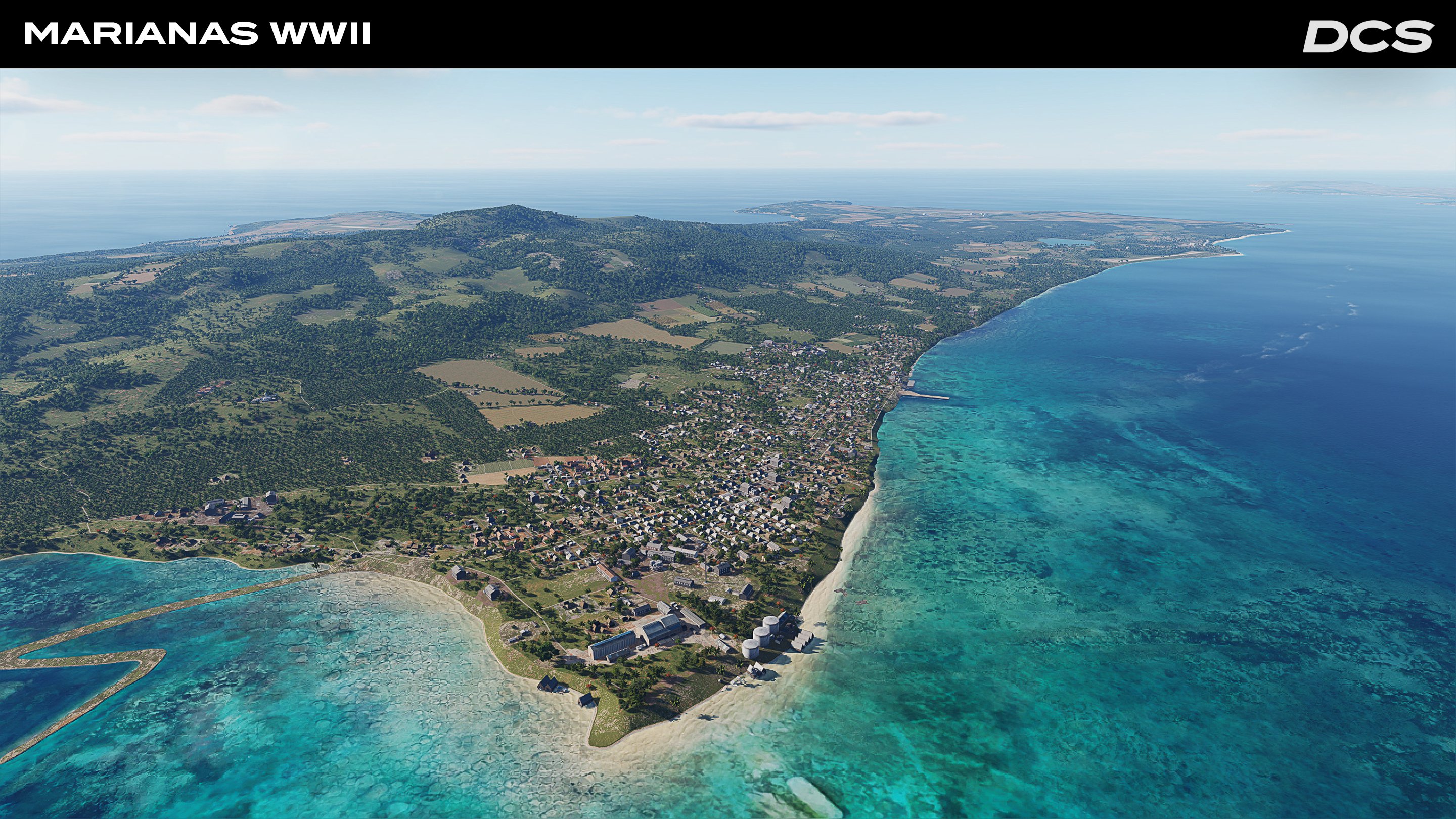
A free map of the Mariana islands that includes Guam, Saipan, Tinian, Rota, and Pagan. Based on period maps and photos of the islands in the summer of 1944, they are characterized by hastily bulldozed runways, cane fields, volcanic ridges and villages under Imperial Japanese control.
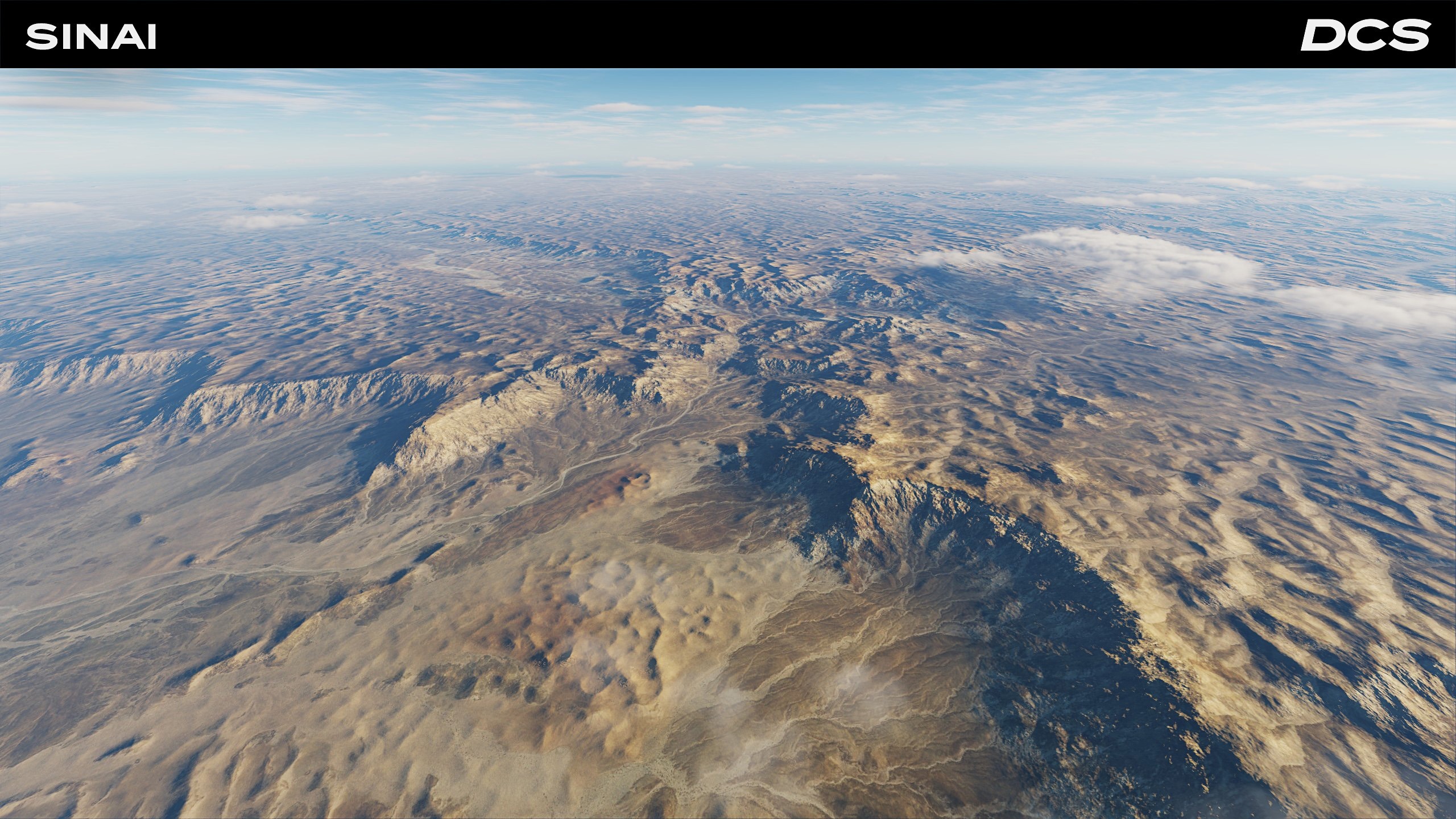
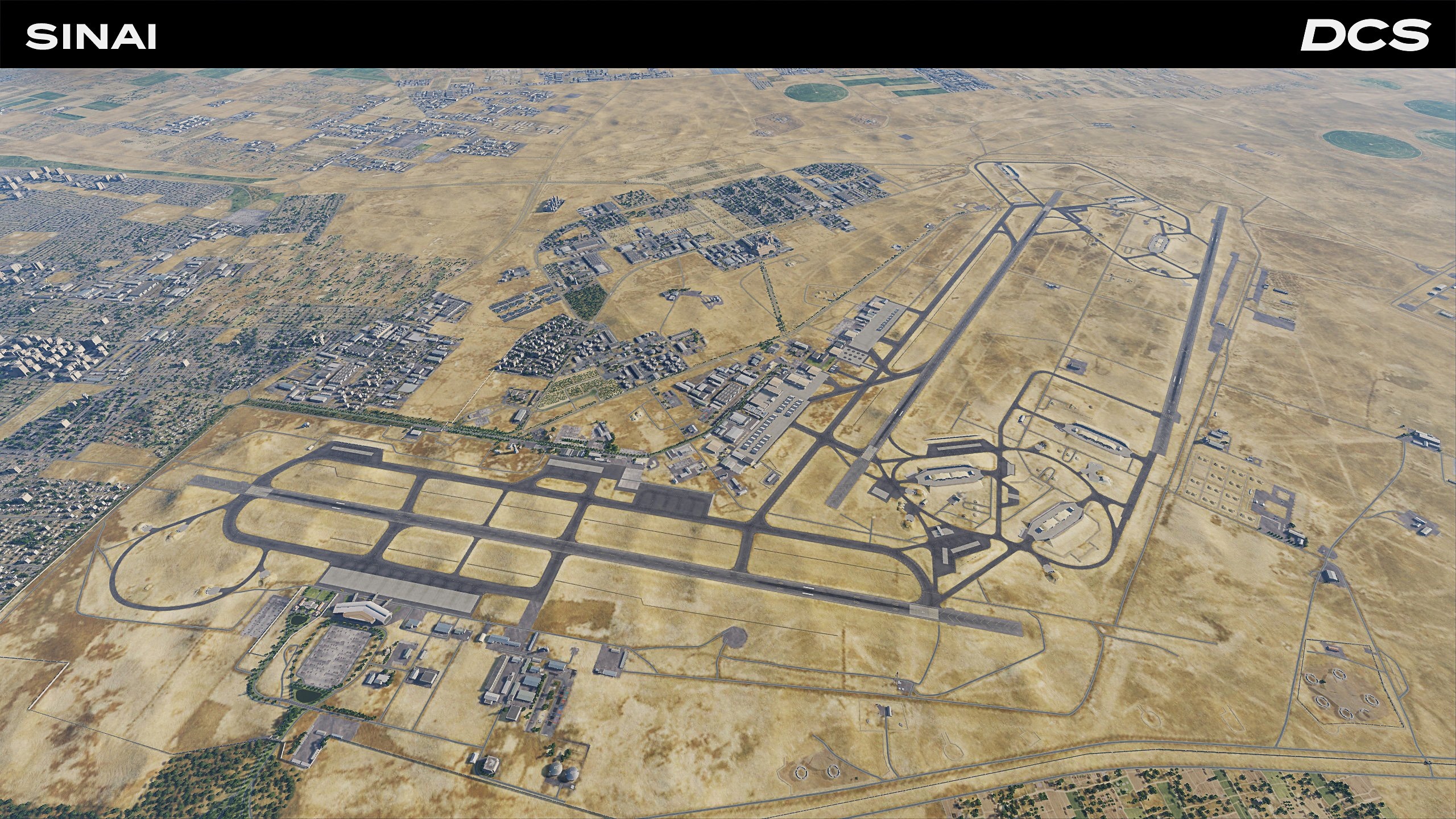
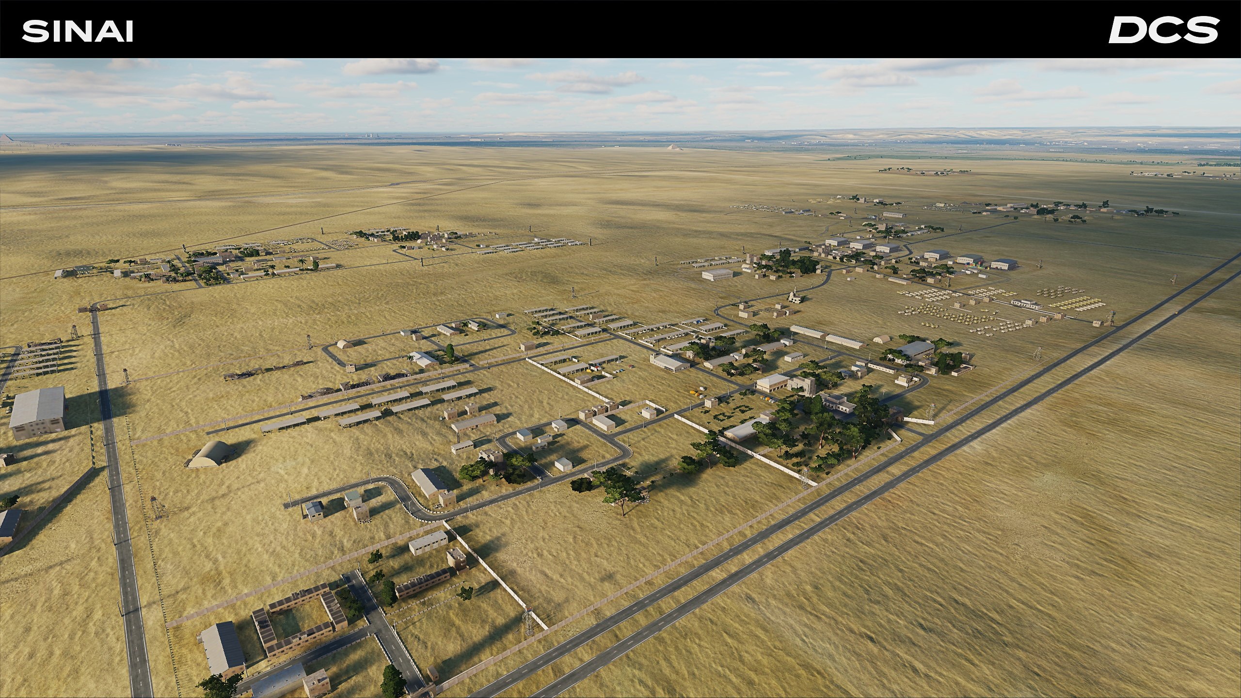
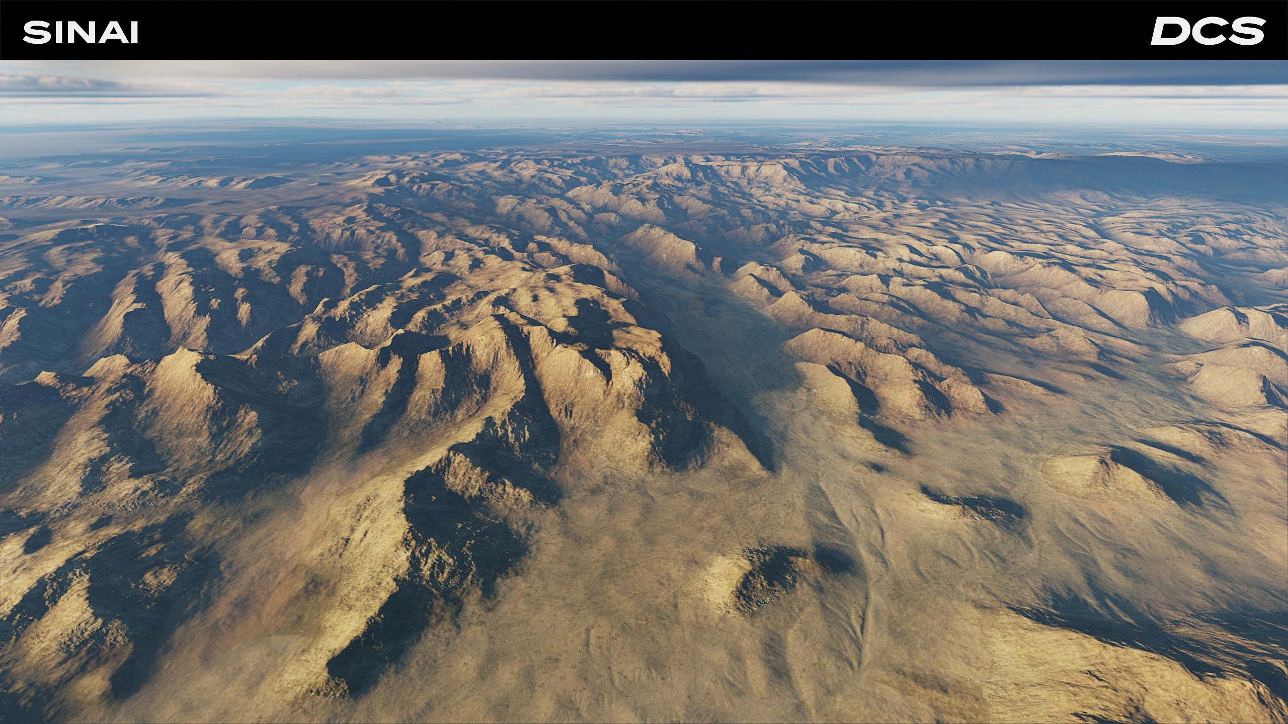
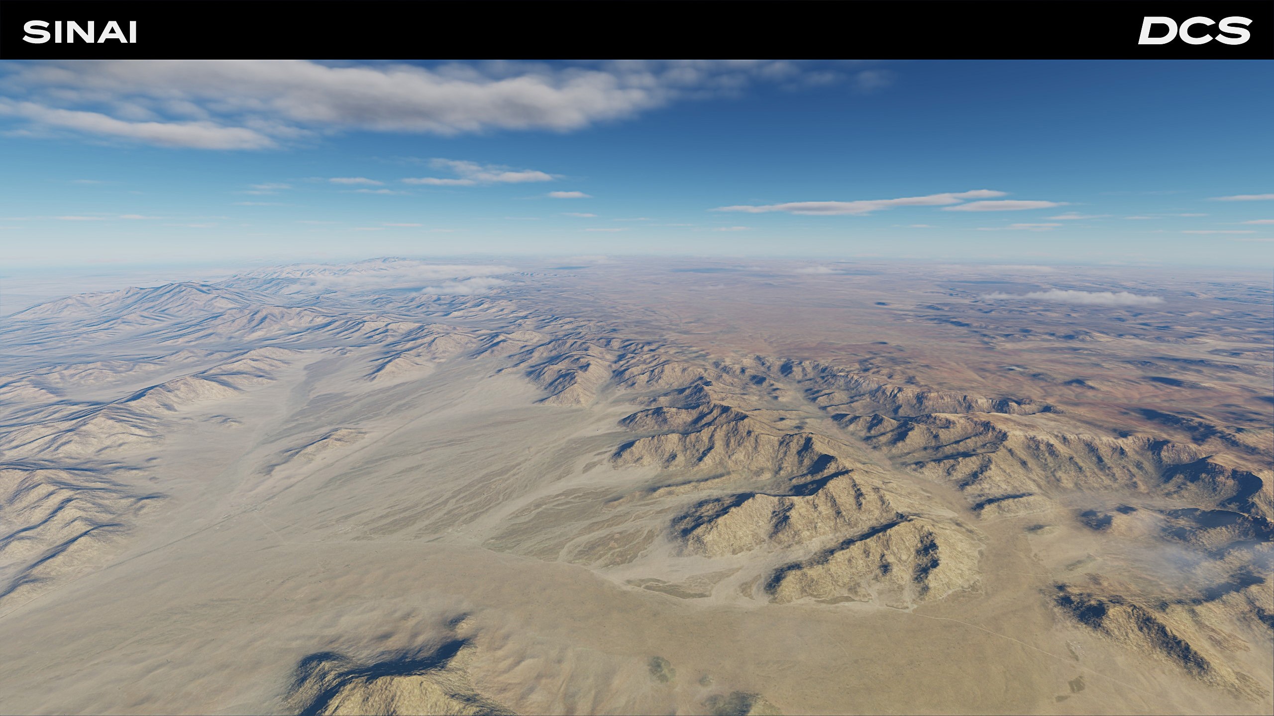
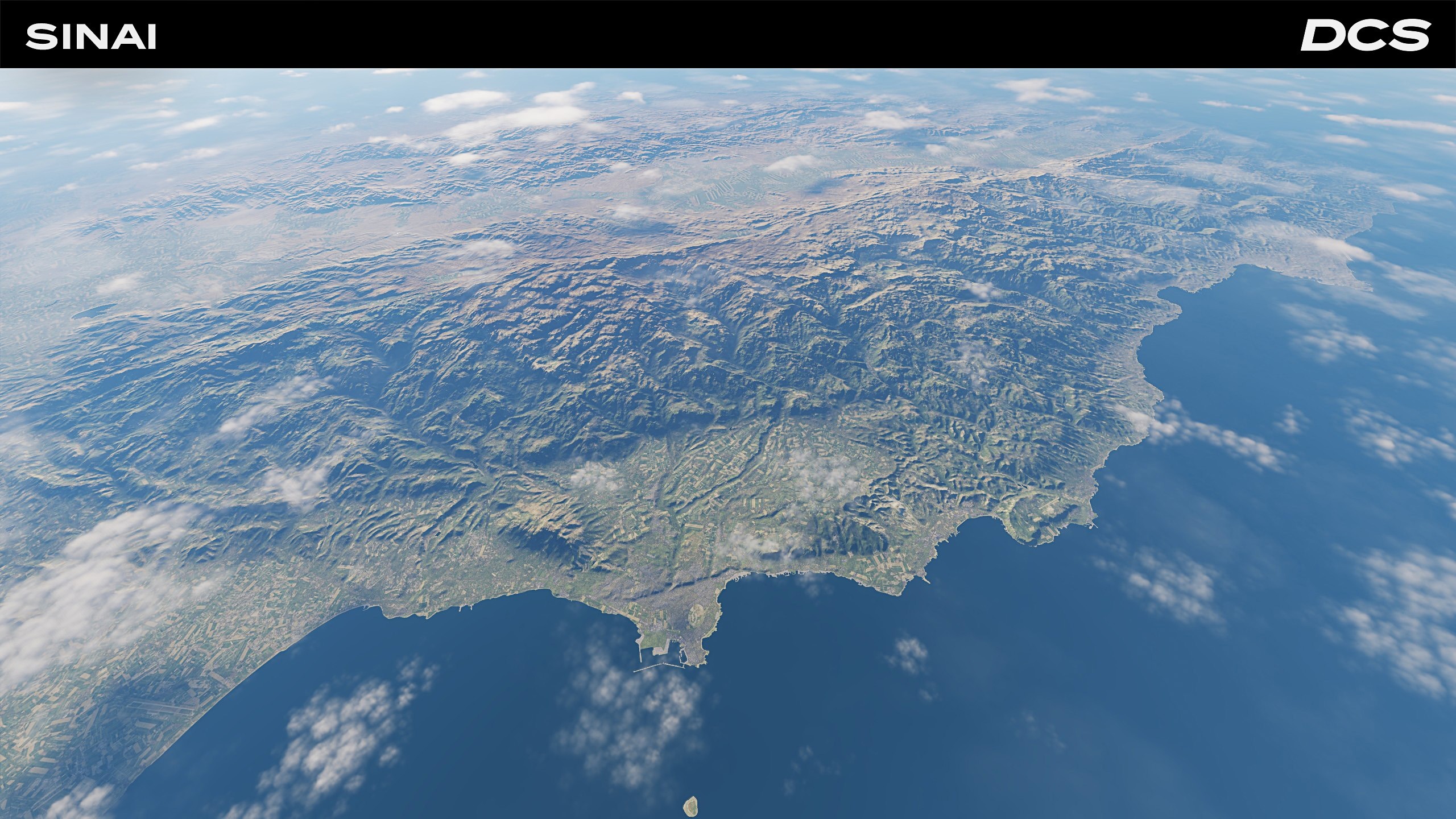
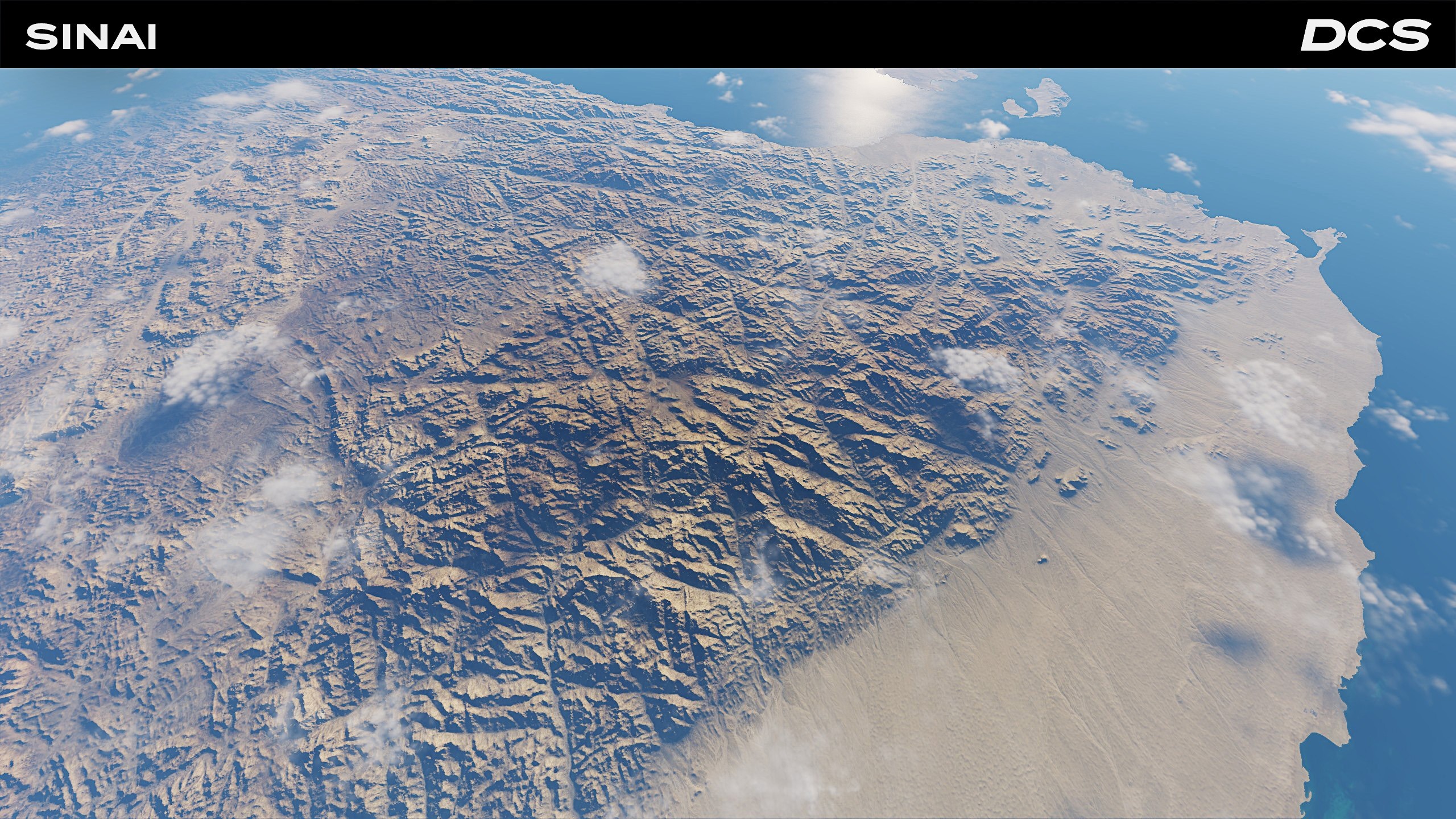
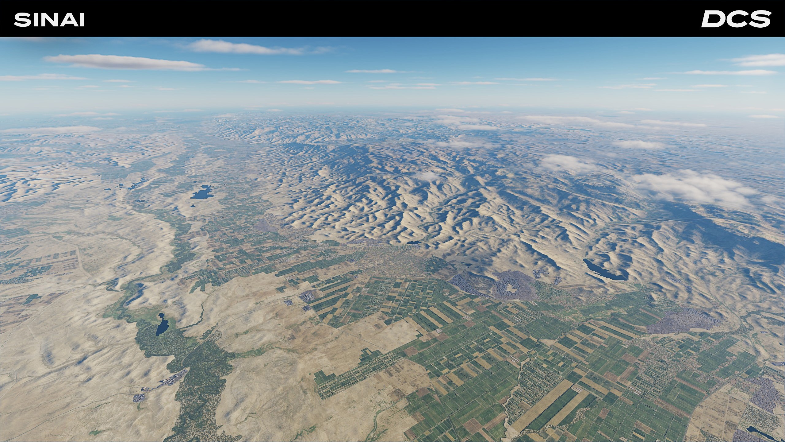
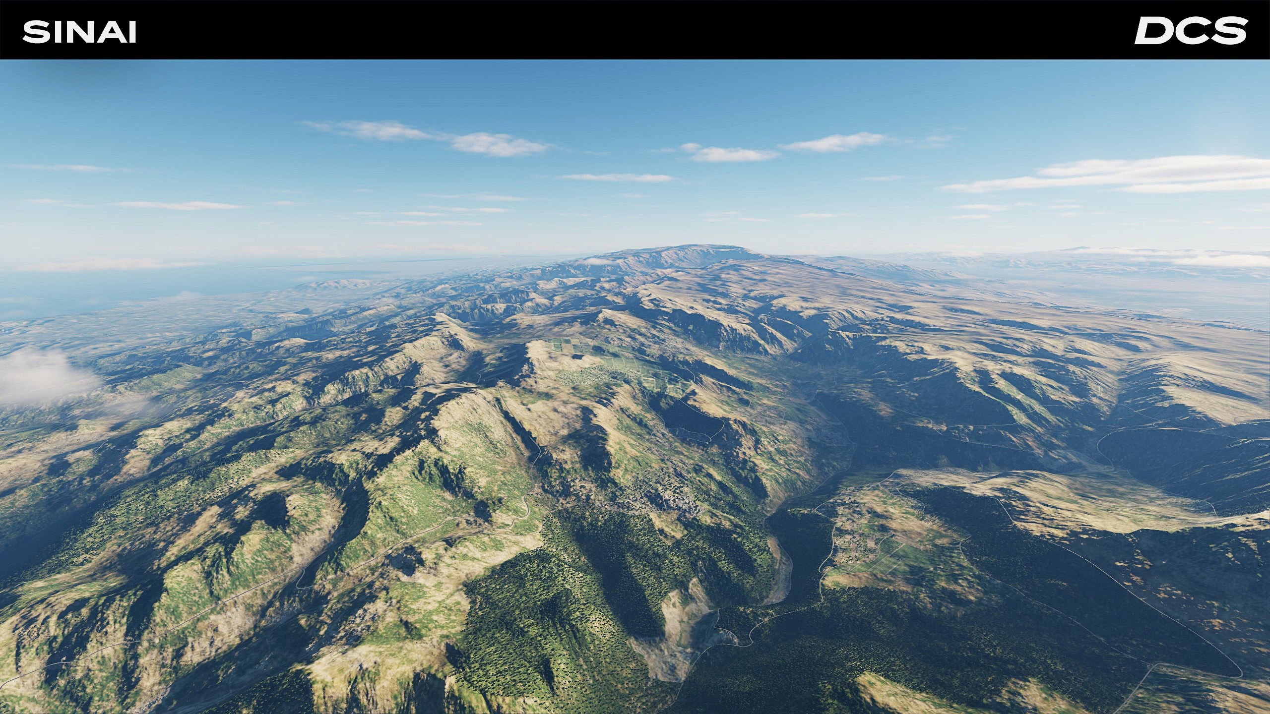
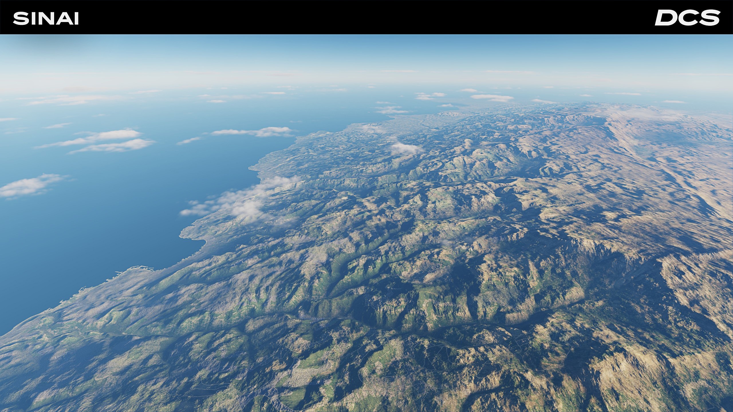
OnReTech has pushed the Sinai map far beyond its original borders. The medium-detail zone now stretches northeast to include all of Israel, southern Syria, including Damascus, and even a slice of western Libya. This opens the door to fully model several Arab-Israeli scenarios without work-arounds or empty/low-detail areas. Across the entire theatre, every mountain face, desert plateau, and coastal plain has received new colour-corrected albedo and normal maps. Dawn over the Negev and Golan Heights at dusk never looked better.
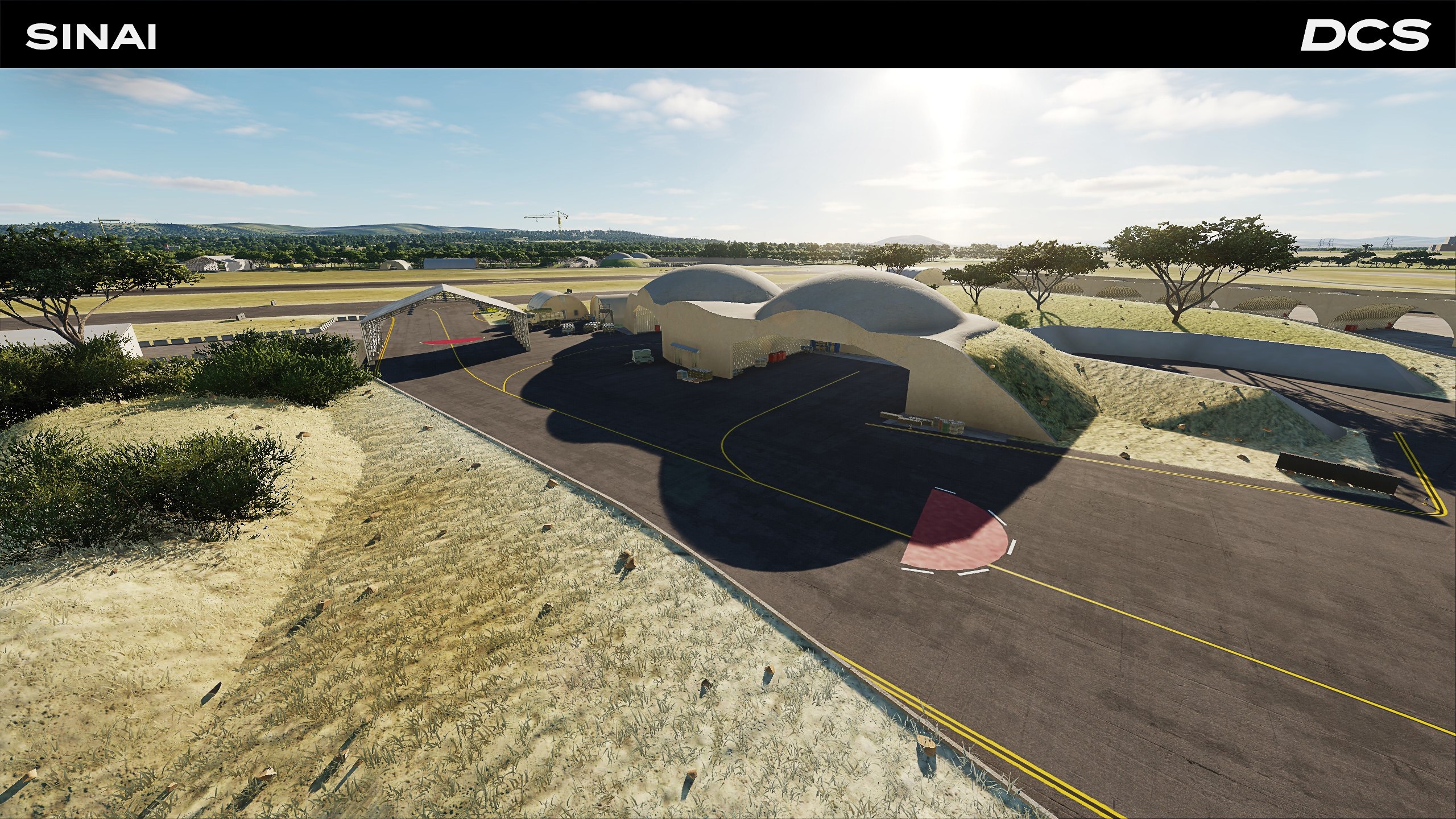
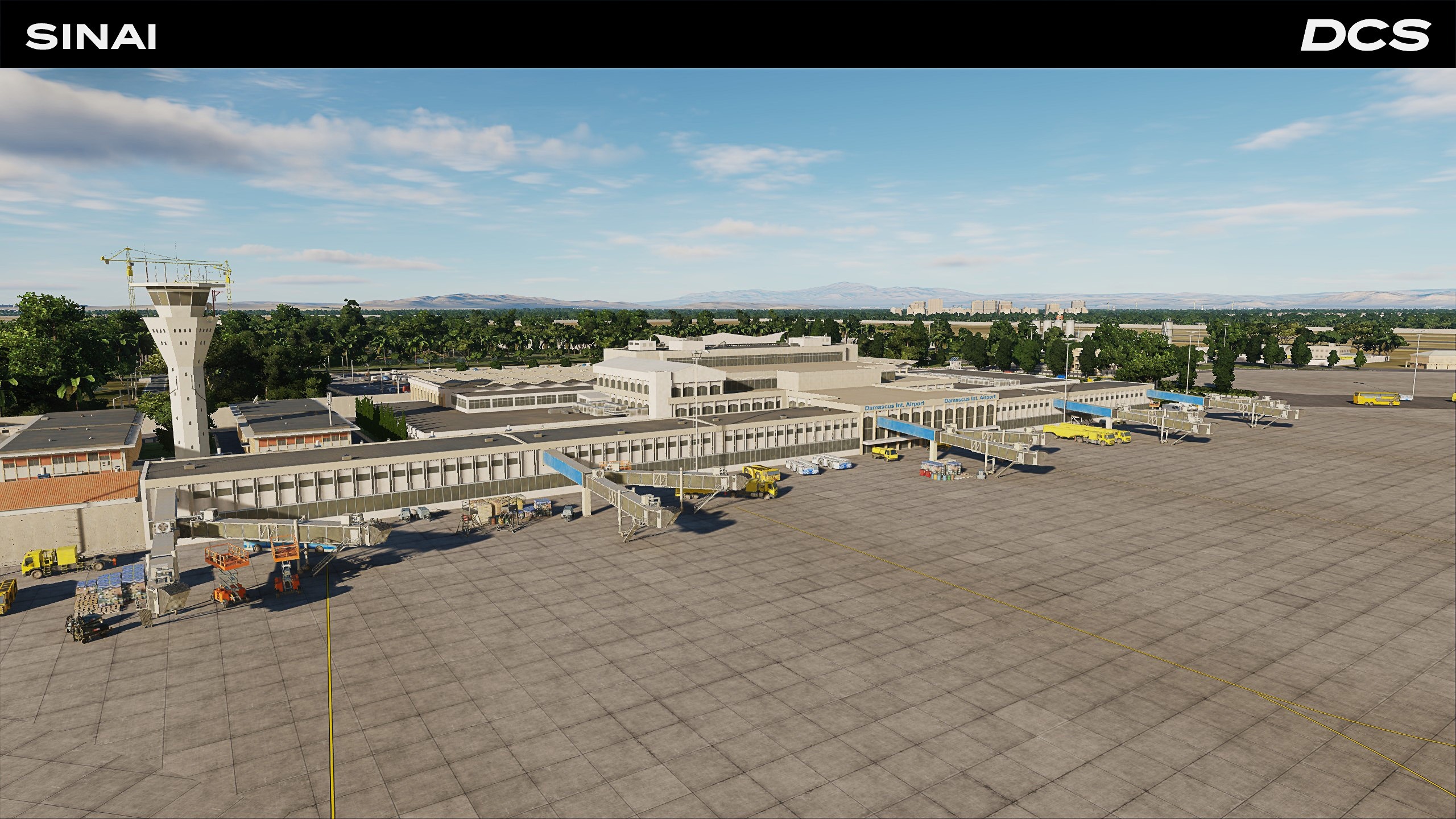
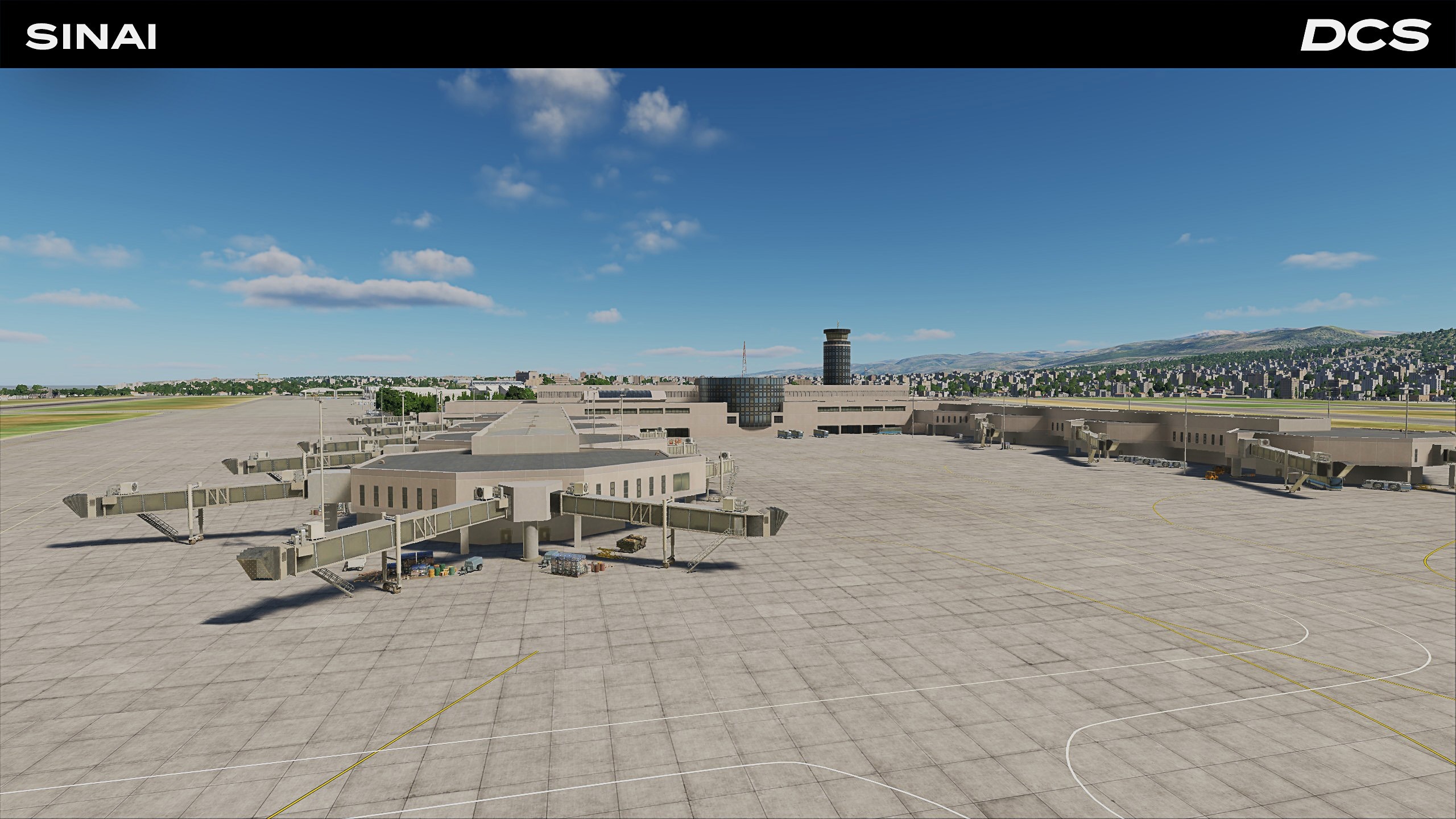
Five key airfields anchor this update: Israel’s northern Ramat David (complete with bespoke shelters), Saudi Arabia’s forward Tabuk airstrip, Lebanon’s Rafic Hariri international airport, and Syria’s twin airfields of Damascus International and Mezzeh. Each is ringed by newly created SAM fortifications and army bases. These locations are indicated as icons on the Mission Editor map.
Further, dozens of bug fixes, terrain seams, and scene-layer glitches have been resolved. You’ll feel the difference when flying low and the details cranked up.
Ugra-Media’s upcoming update will focus on polish and immersion. Several navigation aids will have corrected identifiers like the Frankfurt VORTAC and Northeim and Walldorf airfields broadcasting their proper callsigns. City names for Weißenfels and Gießen have been corrected, and the F10 map sports resized/repositioned prepared SAM sites, radar, and hospital map icons for faster mission creation and planning. You will notice more realistic destruction effects for industrial plants and power stations, a new damage model for stadiums, and improved fields with hay bales and tractors. Typical village churches will have more accurate heights to improve visual low-level navigation. These refinements move the terrain one step closer to Phase 2 in which it will be expanded further. Please stay tuned for the next update to enjoy these updates.
The Afghanistan map received extensive terrain mesh, normal maps, vegetation, ground texture, and other terrain improvements. In addition to Points of Interest (POI) areas around airfields and urban areas, the entire map has received a significant improvement in accuracy and realism, including from lower altitudes.
An important addition has been the inclusion of Forward Operating Bases Clark, Gardez, Thunder, Tellier, Camp Dubs, and Camp Julien. Additionally, the Patrol bases of Khost and Deysie combat outposts have also been added. These are now highlighted on the Mission Editor and F10 Map View with green triangles.
Other notable additions include the Mausoleum of Ahmad Shah Durrani, Kabul’s National Assembly, the Babur Garden, and the Kabul National Stadium. Many of the airbases also saw substantial improvement with more small and large object details, improved texture and lighting, and corrections to ramp and taxiway positions and AI logic. For a more detailed video report, please watch Matt “Wags” Wagner’s August 2025 Update video that discusses the update to the Afghanistan map and a dynamic campaign status report.
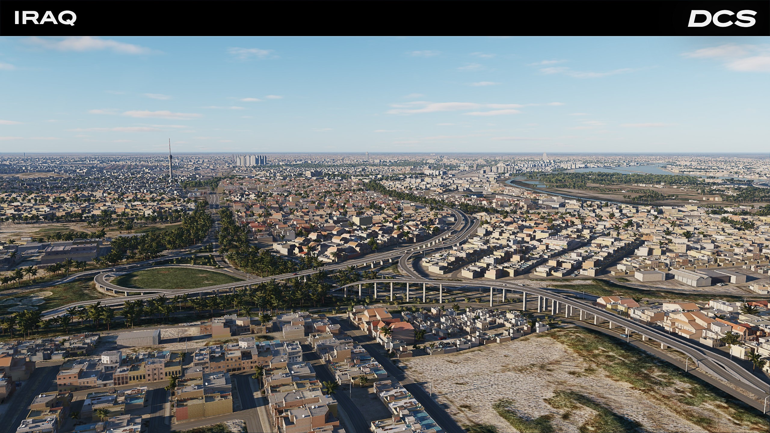
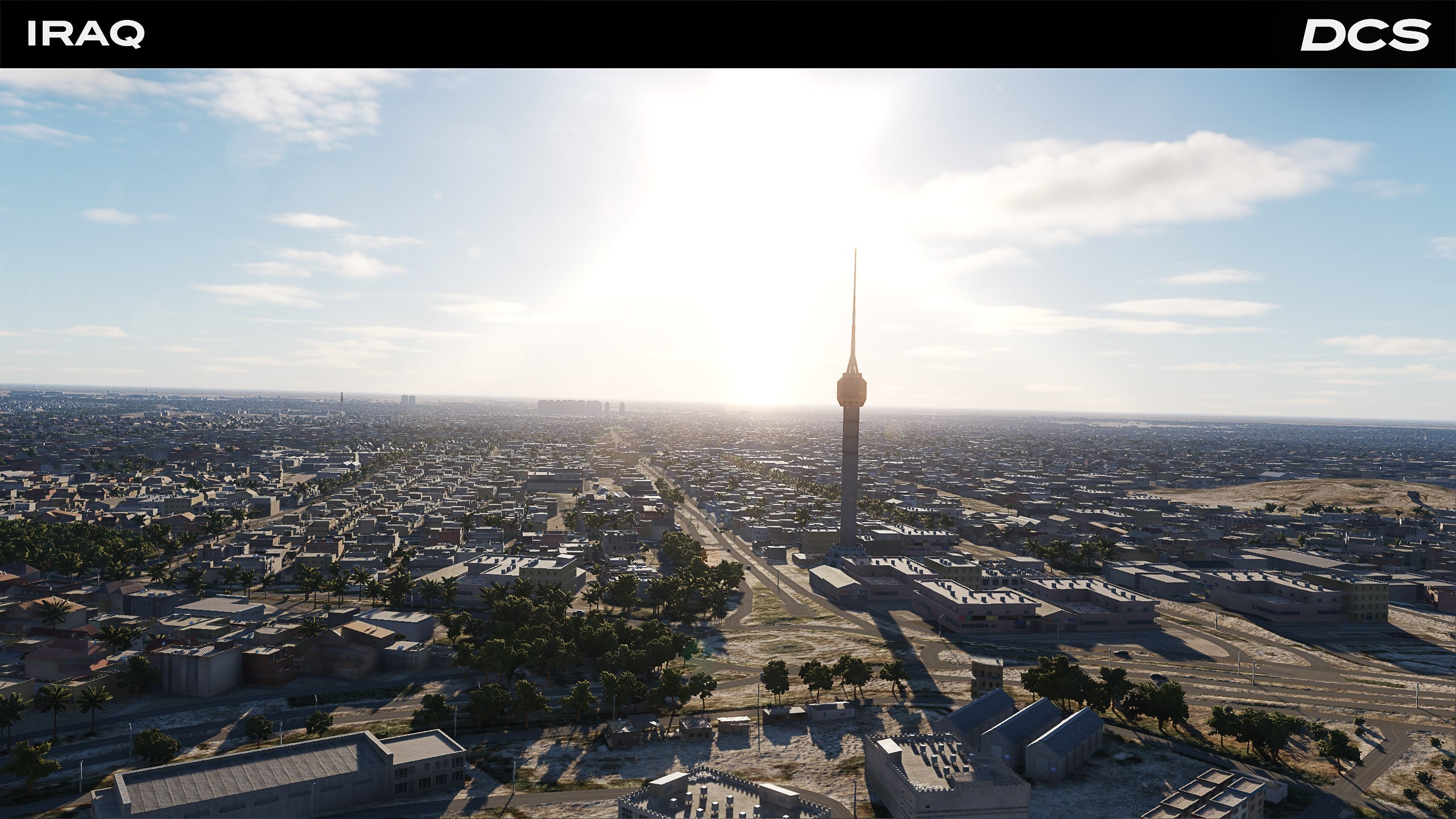
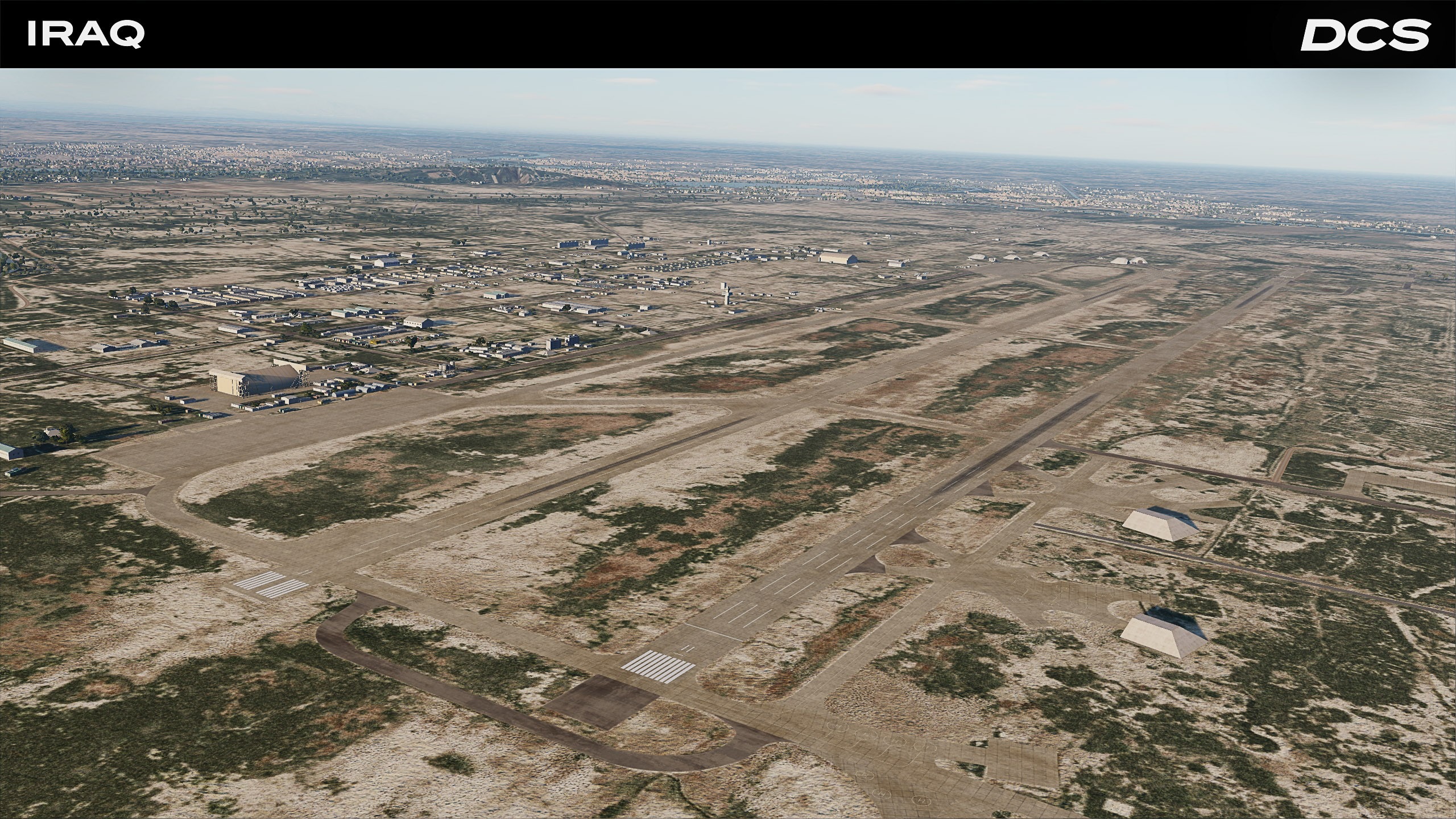
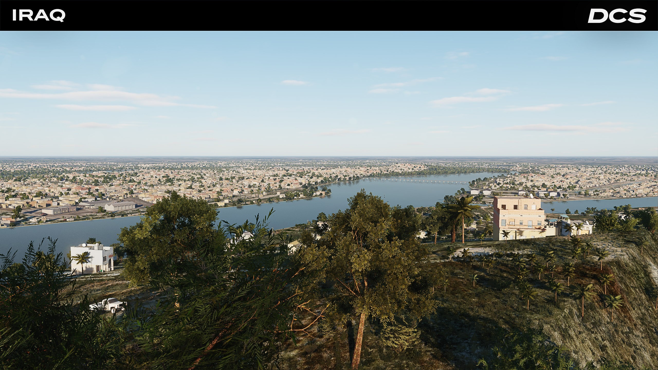
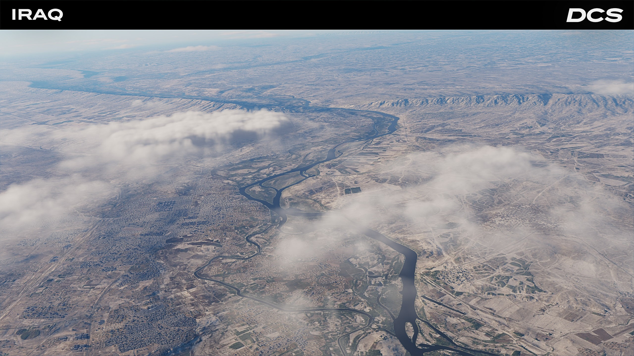
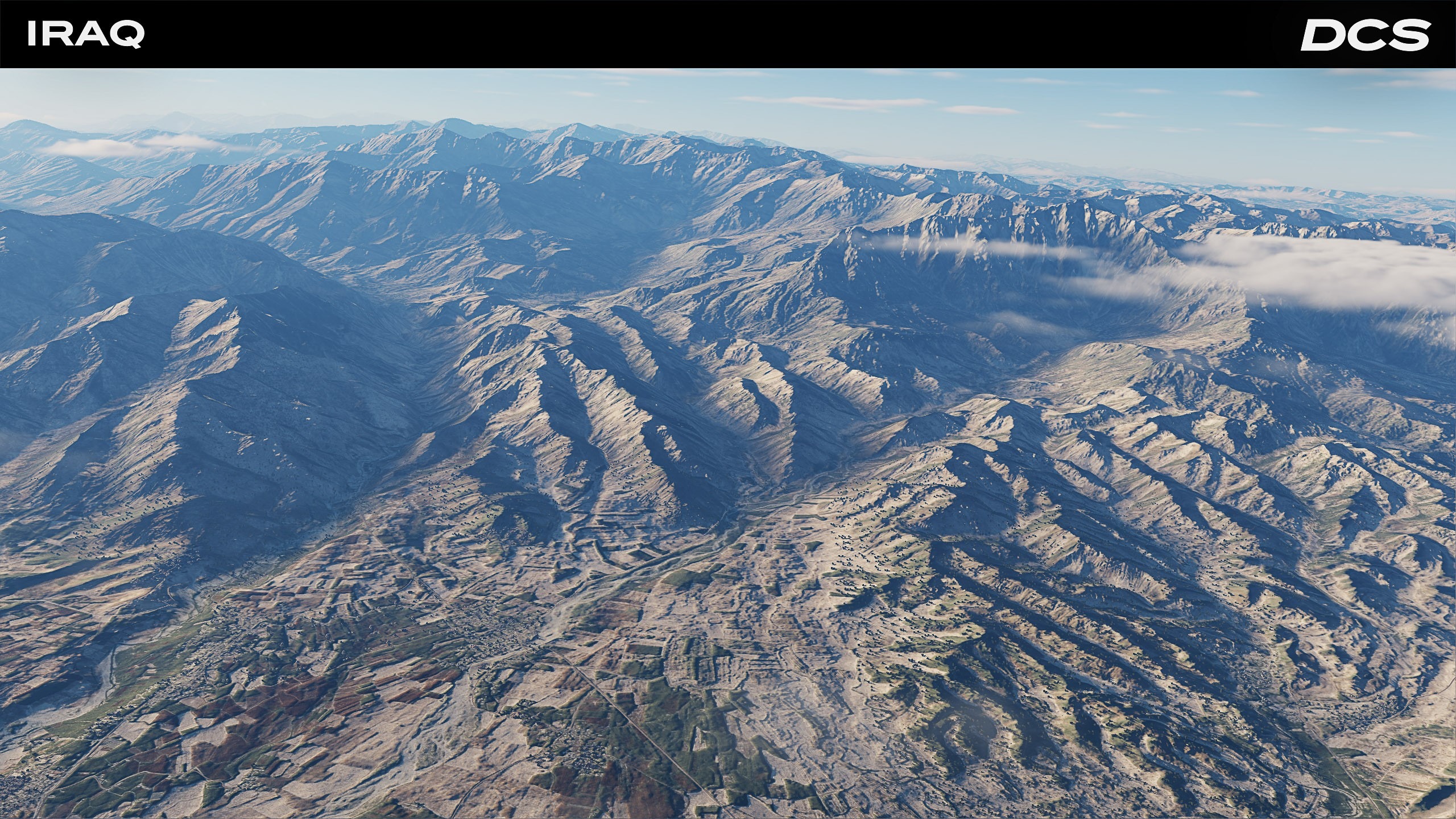
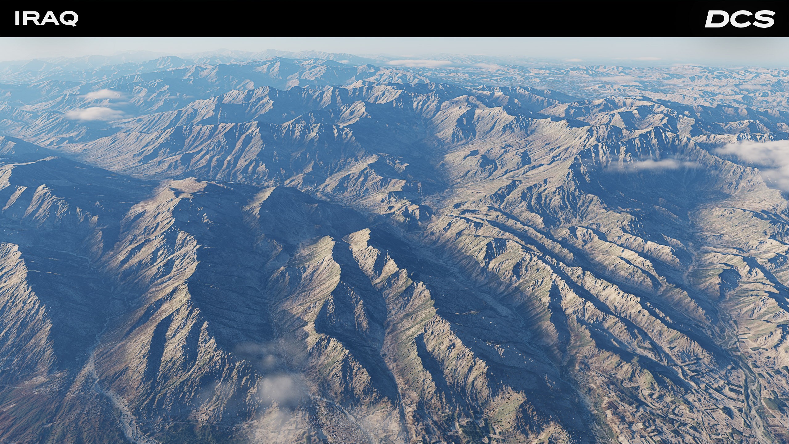
We are adding several new airfields to the Iraq North region and making a series of terrain and existing airfield refinements to the DCS: Iraq map. Clipmap adjustments are complete, and ground object settings have been normalized so that all non destructible models are now correctly flagged. This ensures consistent behaviour across the map as we move into the next round of art and performance passes. Please check out the development screenshots and stay tuned for the update coming soon.
A key focus of this Iraq North update will be the addition of the H-2, H-3 Main, H-3 Northwest, and H-3 Southwest airfields in western Iraq. These served as critical Iraqi airbases during both Gulf Wars and as the focus on numerous offensive counter air, suppression of air defenses, SCUD-Hunt, and fighter sweep missions.
To the north at Mosul, the Mosul Airfield has been added, as well as the surrounding area being improved.
The southern portion of this region will see the addition of Al Kut airfield that also saw extensive action during the Gulf Wars and the earlier Iran-Iraq War.
Several unique points of interest are also being added; the Kirkuk and Al-Shaab Stadiums, Tomb of the Unknown Soldier, the Grand Festival Square, Mar Mattai Monastery, Baghdad and Babylon palaces, and more.This is in addition to improvements to the existing airfields such as better hangars, control towers, and terminals.
Following the release of the Iraq North update (similar to the recent Afghanistan Map update), the full-attention of the Iraq map team will focus on the southern region to include all or portions of southern Iraq, Kuwait, Saudi Arabia, Bahrain, and Qatar. Much of this work has already started, along with the addition of several Iranian airfields to allow Iran-Iraq War scenarios.
/Reparto_Affari_Generali.png)